
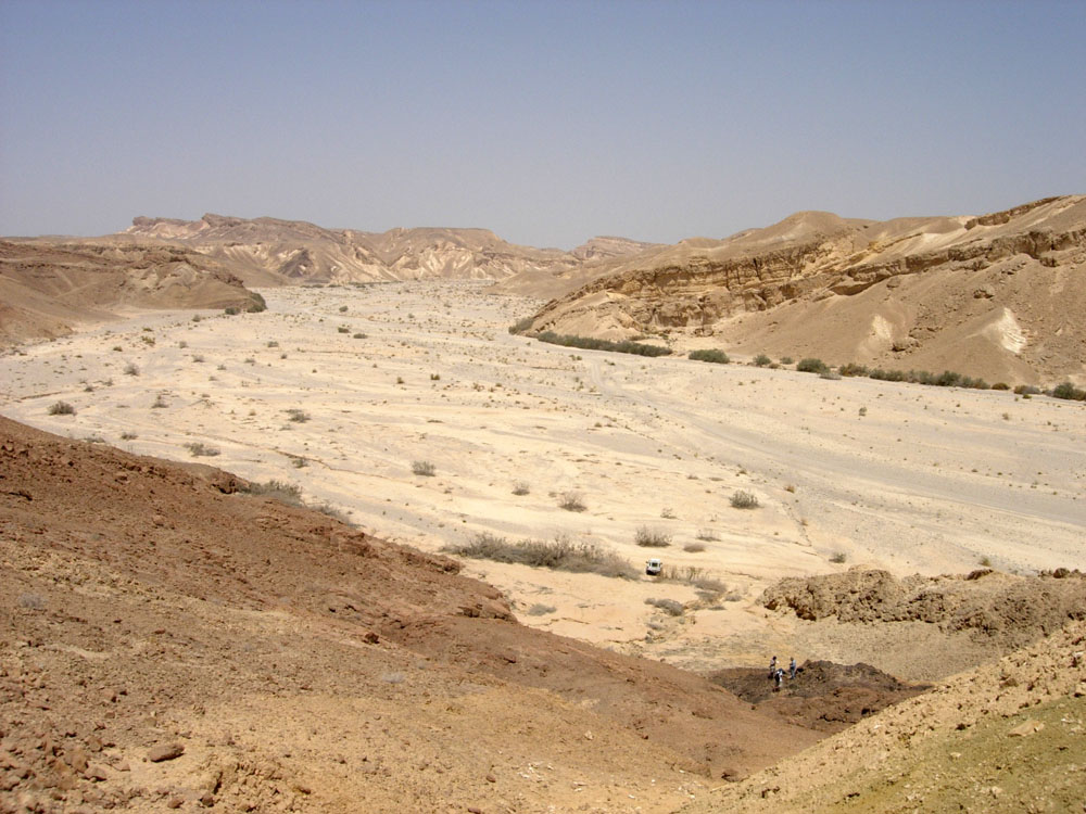
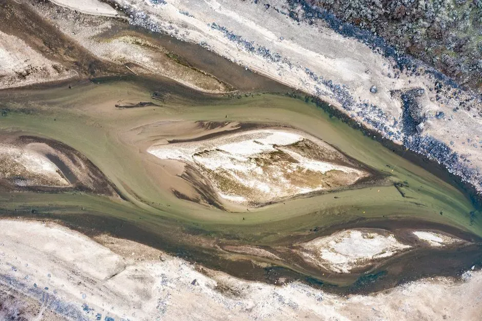
It sounds impossible at first: how can a whole river simply disappear? Yet scattered across the planet are ghost waterways that once carved valleys, fed civilizations, and shaped climates, only to fade, dry up, or sink beneath the sea. These lost rivers are like erased lines in Earth’s notebook, still faintly visible if you know where to look.
What surprised me most when I first dug into this topic is how emotional it feels. We tend to think of rivers as permanent background features, the one thing you can count on always flowing. But history and geology tell a different story. When a river dies, it leaves behind abandoned cities, stranded fossils, and puzzle pieces that scientists are still trying to fit together. Let’s walk, step by step, along the empty beds of eight .
The Saraswati: India’s Legendary Lost River
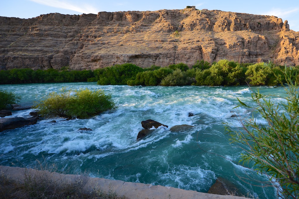
The Saraswati is one of the most famous rivers that no longer flows, partly because it sits at the crossroads of science and cultural memory. Ancient texts describe a mighty river running roughly parallel to the Indus, nourishing settlements across what is now northwest India and eastern Pakistan. For a long time, many thought it might be purely mythical, a poetic stand‑in for something else.
Over the last few decades, though, satellite imagery, sediment studies, and borehole drilling have painted a different picture. Researchers have traced a huge, now‑dry river system buried beneath the sands of the Thar Desert, matching many of the old descriptions with surprising precision. The current view is that several Himalayan-fed channels once merged into this grand river before climate shifts and tectonic changes diverted or reduced its flow, eventually turning it into a network of seasonal streams and then into silence.
The Nile’s Arid Ancestors Beneath the Sahara
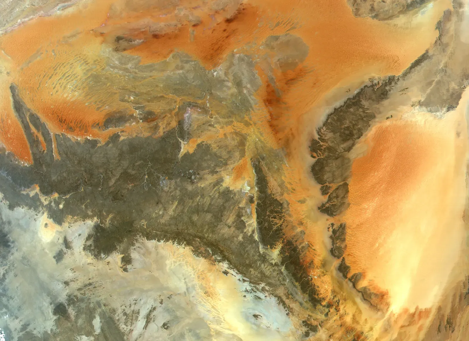
When most of us think of the Nile, we imagine the modern ribbon of green that cuts through Egypt. But deep beneath the Sahara lie traces of much older, now-extinct river systems that once flowed where today there is only endless sand. These buried channels have been mapped with radar and seismic techniques, revealing ancient drainage networks on a staggering scale.
During wetter phases of the Sahara’s past, these rivers carried water from tropical regions northward, creating lakes, wetlands, and corridors of life across what is now a harsh desert. As climate patterns shifted and monsoon belts moved, rainfall dwindled and the rivers gradually dried up, leaving only fossil valleys, sediment fans, and scattered lakebeds. It is a sobering reminder that even the largest landscapes we see as fixed can flip from green to barren over the span of a few thousand years.
The Yellow River’s Vanished Branches in China
China’s Yellow River is famous for its catastrophic floods and dramatic course changes, but what often gets overlooked is that entire ancient branches of the river system . Over thousands of years, tectonic uplift, sediment buildup, and human intervention have forced channels to jump, split, and abandon previous paths, some of which have not carried water for centuries or longer.
In the North China Plain and surrounding regions, geologists have identified relic riverbeds and floodplains far from the modern channel, evidence of ancient courses that once flowed strongly enough to shape agriculture and settlement. These ghost branches are not just historical footnotes; they change how we interpret old maps, archaeological sites, and past flood narratives. To me, they highlight how easy it is to mistake a snapshot in time for something eternal when we are really standing in the middle of a slow-motion reshaping.
The Laurentian River: A Giant Buried Under North America
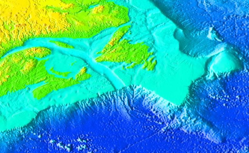
Long before the Great Lakes as we know them took shape, a truly massive river called the Laurentian flowed across what is now eastern North America. This ancient system predated the last ice age cycles that sculpted the region. It likely carried water from the interior of the continent toward an ancestral Atlantic, cutting deep valleys into the bedrock.
When continental ice sheets advanced, they scraped, filled, and re‑routed these valleys, eventually drowning much of the old river path beneath what became the St. Lawrence River and the Great Lakes. Today, the Laurentian exists mainly as a reconstruction in geological cross sections: hidden channels, overdeepened basins, and buried sediments that tell of a river system every bit as impressive as the ones we see on maps now. I find it strangely haunting that millions of people live around this region with no idea a super‑river once ran right below their feet.
The Tethyan Proto-Rivers of an Ancient Ocean World
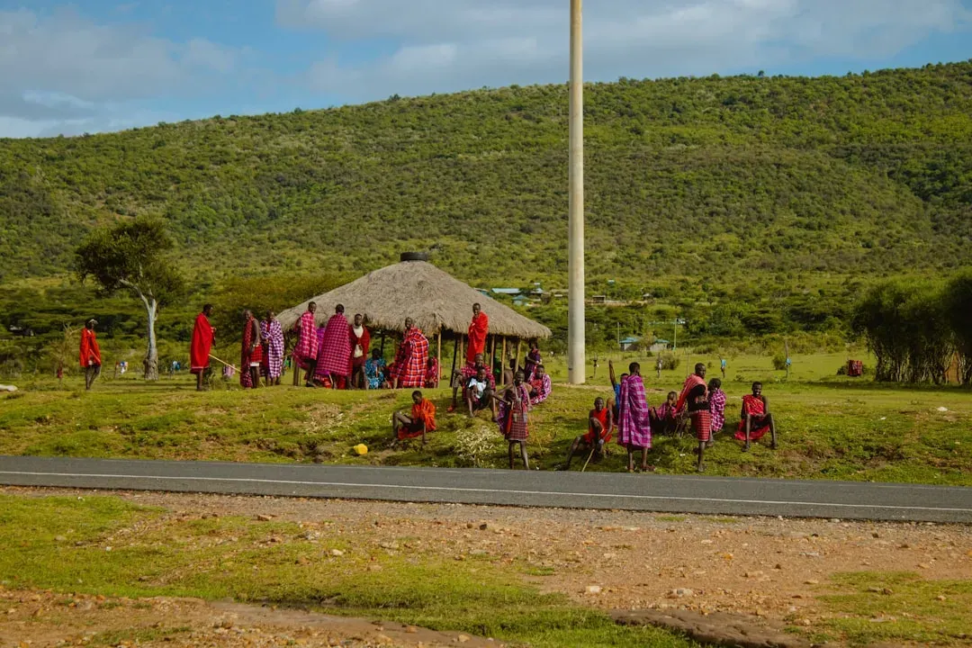
Some lost rivers never flowed across continents as we know them, but along shorelines that vanished with the closing of ancient oceans. Around the margins of the long-gone Tethys Ocean, which once separated the northern and southern supercontinents, paleogeographers have reconstructed sprawling river systems feeding into broad coastal plains. These proto-rivers wound across what is now bits of Europe, North Africa, the Middle East, and Asia.
As tectonic plates collided and the Tethys narrowed and disappeared, mountains rose where shorelines once were, and basins uplifted or sank. The rivers that had traced those gentle slopes were pinched off, redirected, or fully obliterated. All that remains are patterns in rock: stacked river sands and gravels preserved high in mountain ranges, far from any modern ocean. It is a powerful illustration of how rivers do not just shape landscapes; they are also casualties of the deep-time collisions that build new continents.
The Atacama’s Ancient Streams: Rivers in the World’s Driest Desert
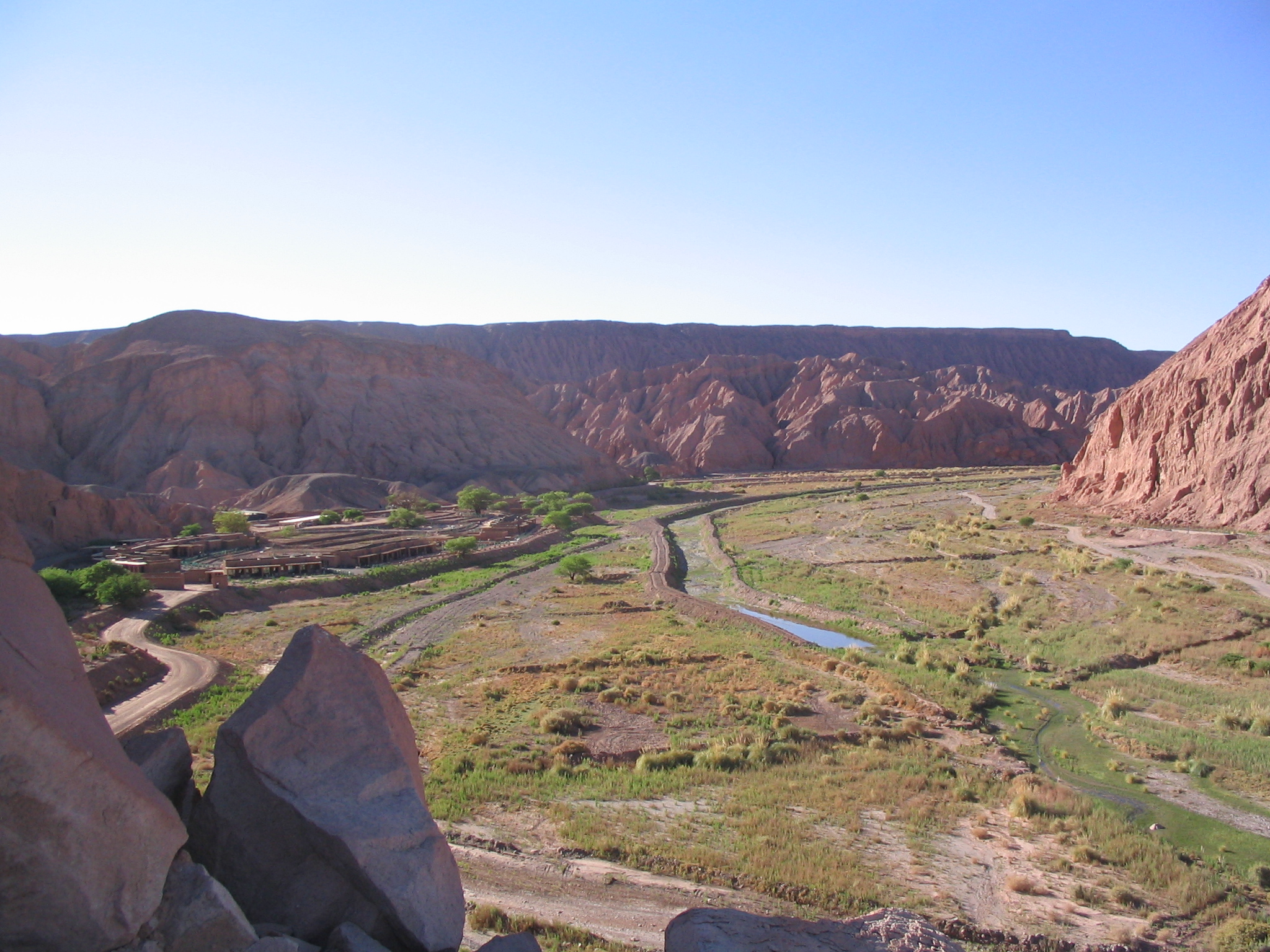
The Atacama Desert in South America is regularly described as one of the driest places on Earth, with some weather stations recording virtually no rainfall over many years. Yet when geologists hike through its stark valleys, they find clear evidence of ancient river channels and alluvial fans. These features speak of times when water was far more abundant, and sizeable streams crossed the now-barren terrain.
Studies suggest that in earlier climatic periods, different atmospheric circulation patterns brought more moisture to the region, feeding rivers that drained the Andean slopes and flowed west. As the climate gradually shifted and upwelling along the Pacific helped stabilize a hyper‑arid regime, those rivers dwindled and died. Their old paths are now etched into the landscape like scars, making the modern Atacama feel less like a timeless desert and more like a place caught in an extreme phase of a very long story.
Australia’s Megarivers of the Deep Past
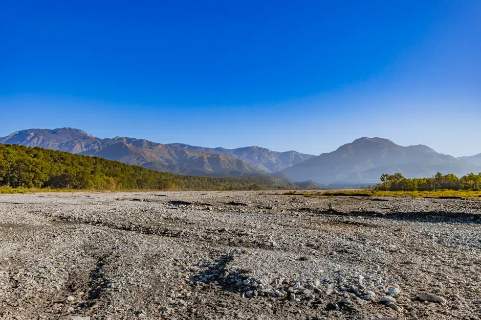
Australia today is a continent of episodic rivers and sprawling dry interiors, but its geological record preserves evidence of ancient megarivers that dwarfed most modern Australian streams. In central and eastern Australia, subsurface mapping and sediment analysis have uncovered the traces of enormous river systems that once drained long‑gone highlands and fed into ancient seas on the continent’s margins.
Over tens of millions of years, erosion wore down the source mountains, sea levels rose and fell, and the continent drifted into drier climate zones. As the interior dried, many of these great rivers lost their sustained flow and were replaced by intermittent channels, inland lakes, and salt pans. Thinking about this feels a bit like looking at an old family photo of someone who became almost unrecognizable with age; the outline is still there, but the personality of the landscape has completely changed.
The Disappearing Rivers of the Last Ice Age
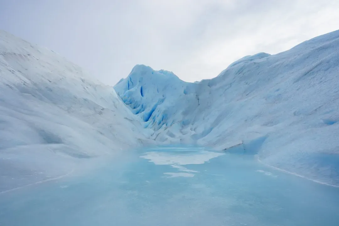
During the last ice age, vast networks of meltwater rivers rushed along the edges and beneath the surfaces of ice sheets in North America, Europe, and Asia. These subglacial and proglacial rivers could be incredibly powerful, sometimes carving deep tunnel valleys and feeding enormous glacial lakes. Yet many of them had lifespans measured only in centuries or millennia, vanishing as the ice retreated or advanced.
Once the great ice sheets melted away, sea levels rose and new drainage patterns emerged, leaving those old ice-age rivers stranded as buried channels, dry valleys, or submerged troughs on continental shelves. Modern sonar and geological surveys have started to map them in greater detail, revealing a hidden hydrographic world that flickered on and off with the rhythm of glacial cycles. It is hard not to see a parallel with today’s rapidly changing cryosphere: rivers appear and disappear much faster than we like to imagine when the climate dial is turned even slightly.
Conclusion: When Rivers Prove That Nothing Is Permanent
![Conclusion: When Rivers Prove That Nothing Is Permanent (Photograph taken by Mark A. Wilson (Department of Geology, The College of Wooster).[1], Public domain)](https://nvmwebsites-budwg5g9avh3epea.z03.azurefd.net/dinoworld/f3a6de7c7764afb0092d6054368a66af.webp)
Looking at these eight lost rivers, what strikes me most is how they quietly destroy the illusion of permanence. We grow up absorbing the idea that the big things on a map – the rivers, mountains, coastlines – are basically fixed, changing only on some abstract geological timescale that feels too slow to matter. But the stories of the Saraswati, the buried Laurentian, the vanished Saharan channels and ice-age torrents show that even the largest rivers can be rerouted, buried, or erased within spans that overlap with human history and memory.
I think there is a lesson here that goes beyond geology. If something as powerful as a river can disappear, our assumptions about stability – of climates, of water supplies, of where people can live – start to look much more fragile. That is not meant to be purely alarming; it can also be strangely freeing to recognize that change is the rule, not the exception. The question is whether we pay attention in time to read the riverbeds, both present and fossil, for what they are trying to tell us. When you next look at a map and see a bold blue line, will you see a permanent feature – or a temporary guest in Earth’s long story?