
Next time you are stuck in traffic or staring at a wall of glass skyscrapers, it is worth remembering this: beneath your feet, the ground remembers a completely different world. Long before highways, train lines, and apartment towers, many big cities sat on beaches, wetlands, forests, or even coral reefs that shaped how people first settled there. Today those ancient landscapes are mostly invisible, but they still quietly control everything from flooding to subway construction.
Once you start looking for them, you cannot unsee them. Old riverbeds run under business districts, marshes lurk beneath luxury condos, and fossil-rich hills lie buried under layers of asphalt and concrete. These hidden terrains are not just a cool bit of trivia; they are a kind of deep-time blueprint that cities ignore at their peril. Let us dig into seven of the most fascinating examples and see how the ancient Earth survives inside modern urban life.
The Lost Rivers Beneath London’s Streets
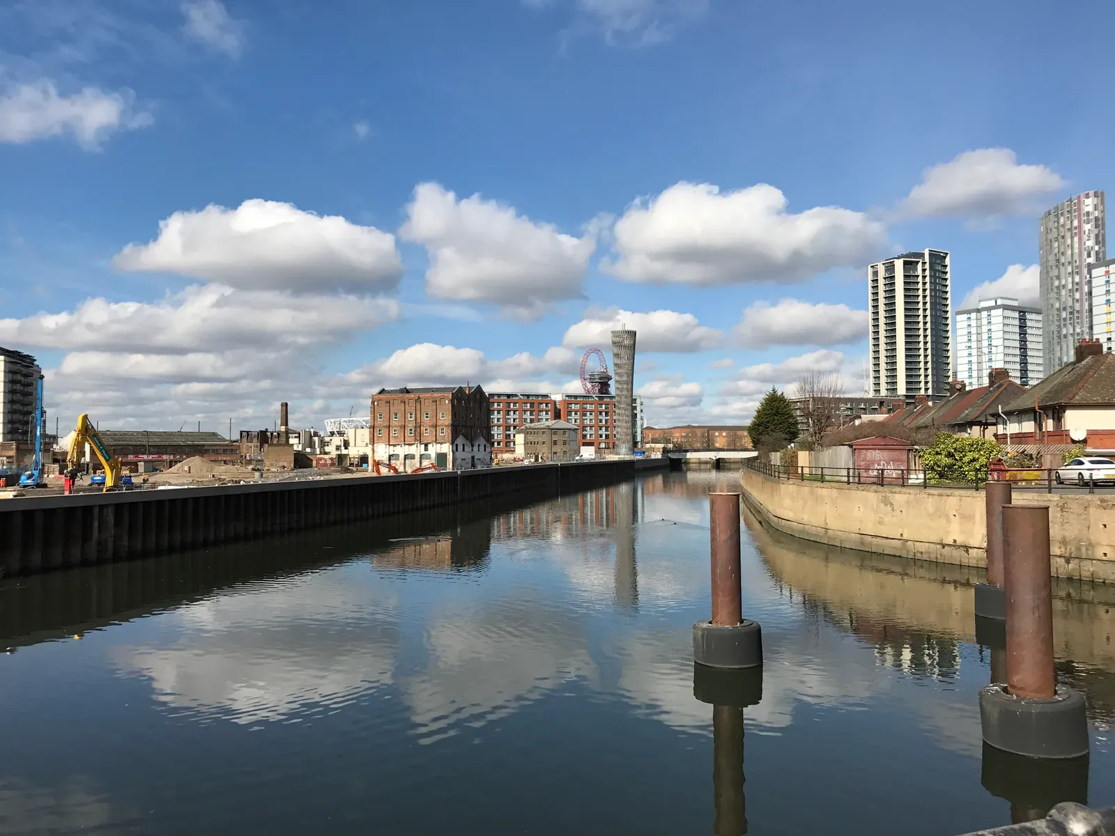
It is hard to imagine while crossing a busy London intersection, but entire river systems are rushing underfoot in brick tunnels and Victorian culverts. Before the city spread over the landscape, streams like the Fleet, Tyburn, and Walbrook flowed in open air, carving shallow valleys and feeding wetlands along the Thames. Those valleys guided early settlement patterns, dictated road routes, and created natural boundaries between neighborhoods.
Over centuries, as London grew denser and dirtier, many of these rivers were systematically buried and converted into sewers. The ancient river valleys, however, never really went away: they still shape where streets dip, where fog clings, and where flooding hits hardest during heavy rain. Engineers planning new tunnels or Crossrail stations must literally map the ghost watercourses and the softer sediments they left behind. So the city’s future infrastructure is forced to negotiate with a river system that was supposedly erased.
Mexico City Floating on an Ancient Lakebed
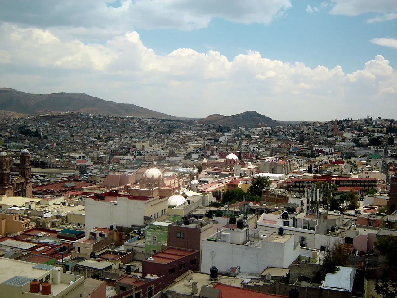
Mexico City is often described as a metropolis that is sinking, but the deeper story is that it is a gigantic city balanced on the drained bed of a high-altitude lake system. The Aztec capital of Tenochtitlan once rose from a web of shallow lakes, chinampa gardens, and causeways, an engineered water landscape that stunned early European visitors. Beneath the modern city’s asphalt sits a thick package of clay-rich sediments laid down over thousands of years as volcanic basins repeatedly filled and dried.
Those ancient soft sediments act like a slow-moving mattress under the weight of millions of people, gradually compacting and causing parts of the city to subside dramatically. Skyscrapers, metro lines, and water pipes must contend with a ground surface that does not behave like solid rock but like a memory of water. During earthquakes, this lakebed can amplify shaking, making some districts far more vulnerable than nearby areas built on firmer volcanic hills. When you see a colonial church tilted at an odd angle, you are looking at a building trying to stand still on a landscape that refuses to forget it was once a lake.
New York City’s Buried Wetlands and Tidal Creeks
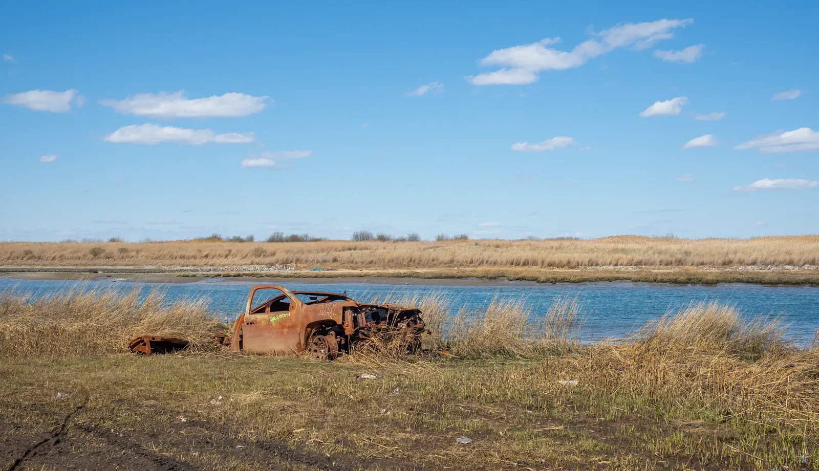
New York is usually framed in terms of steel, stone, and right angles, yet a huge share of its low-lying neighborhoods is built on what used to be salt marshes and tidal flats. Before colonial expansion, the edges of Manhattan, Brooklyn, Queens, and Staten Island were fringed with mudflats, oyster reefs, and shallow inlets. Over time, these areas were filled, leveled, and paved to create more real estate and port space, burying thick layers of organic mud and sand beneath urban grids.
Those buried wetlands have not retired quietly; they are one big reason why some neighborhoods flood over and over again during coastal storms and king tides. The old marsh soils hold water like a sponge and can liquefy or slump when heavily shaken or saturated. Modern flood maps and climate adaptation plans in New York are increasingly forced to look back at historical ecological maps to understand where water naturally wants to go. Every time a storm surge pushes into subway entrances or across a waterfront highway, the ancient tidal landscape is effectively reclaiming a temporary share of the city.
Paris and the Limestone Quarries of an Ancient Sea
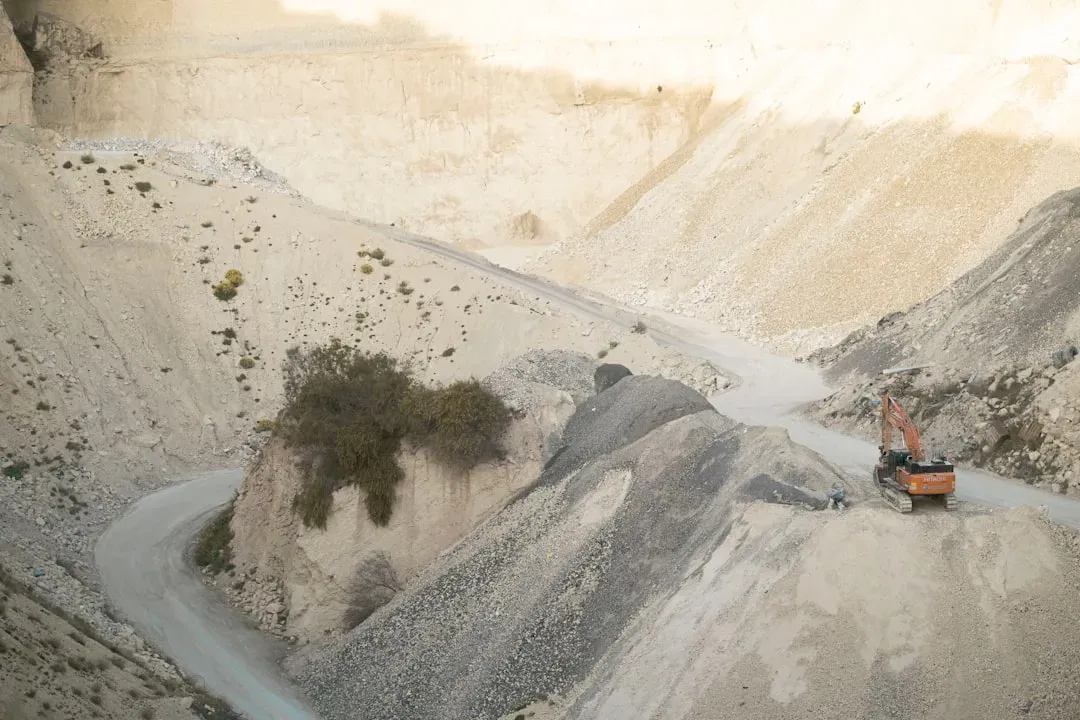
Paris feels effortlessly solid, a city of stone façades and heavy monuments, but much of that stone was carved from the ghost of a shallow tropical sea. During the Eocene epoch, the region that would become Paris sat beneath warm, shallow waters where shellfish and marine organisms built up thick beds of limestone. Over millions of years those sediments hardened into rock, and starting in medieval times people dug vast underground quarries to mine them.
The result is that under parts of Paris, you have a honeycomb of ancient sea floor turned into building stone, and then turned again into a labyrinth of man-made tunnels and cavities. Modern engineers have to constantly survey and reinforce these underground voids, because the combination of old marine limestone and human excavation can make the ground unexpectedly fragile. Occasional sinkholes and subsidence are reminders that this solid-looking city rests on a double-layered past: first the vanished sea, then centuries of quarrying. Walk past a grand Haussmann building and you are seeing rock that was once a seafloor, hoisted up and rearranged into boulevards and balconies.
Tokyo Built on Ancient River Deltas and Alluvial Fans

Tokyo’s skyline suggests relentless modernity, but its foundations trace back to braided river channels and sediments washed down from surrounding mountains. Much of the city lies on the Kanto Plain, a wide lowland formed by ancient river deltas, floodplains, and volcanic ash layers. Over time, rivers meandered, deposited gravel and sand in some places, and softer silts and clays in others, creating a patchwork of ground conditions underneath the concrete.
This variability matters a lot in a region famous for earthquakes. Districts built on firm, coarse alluvial deposits typically shake less and sustain less damage than areas built on thick, water-saturated clay and fill. The deadly 1923 Kanto earthquake and more recent events have repeatedly shown how old river courses and man-made reclaimed land can amplify tremors and liquefaction. Tokyo’s seismic building codes and endless retrofitting campaigns are, in a way, the city’s ongoing negotiation with a restless deltaic landscape that was never meant to carry so much vertical weight.
Rome’s Seven Hills and Buried Valleys
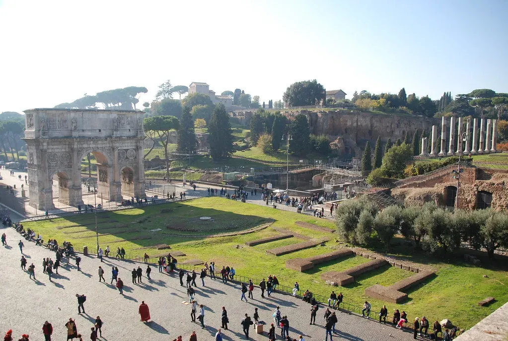
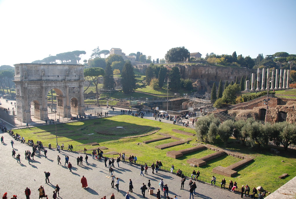
Rome proudly markets its seven hills, but the story beneath is even more layered: ancient river terraces, volcanic deposits, and filled-in valleys all jostling for space under churches and apartment blocks. The Tiber River once wandered across a broader floodplain, cutting channels and leaving behind terraces of gravel and sand. Early Roman settlements clustered on the higher ground of volcanic tuff hills to avoid flooding, leaving the low areas for markets, harbors, and, eventually, massive public works.
As centuries rolled on, repeated floods, construction debris, and deliberate landfill slowly raised street levels and buried old ground surfaces. Today many Roman ruins sit several meters below the sidewalks, entombed in historic sediment and urban rubble. The ancient topography still decides where the river can spill over its banks and where groundwater hovers just below basements. Any new metro line or underground garage must weave carefully through this palimpsest of hills, terraces, and buried valleys, trying not to wake a landscape that has already rerouted itself many times.
Shanghai’s Soft Delta Beneath the Skyscrapers
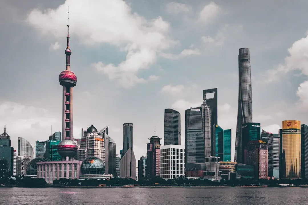
Shanghai’s forest of glass towers rests on a landscape that is geologically young and surprisingly soft: the Yangtze River delta. Over thousands of years, the river carried vast amounts of silt and sand from inland China and spread them out into a fan-shaped plain along the coast. These deltaic sediments are thick, waterlogged, and highly compressible, especially in the upper layers where much of the city has been built at astonishing speed.
This combination of soft ground and rapid urbanization has created serious subsidence and stability challenges. Deep foundations, piles, and elaborate monitoring systems are needed to keep high-rises and transport tunnels from tilting or sinking unevenly. At the same time, the very nature of a river delta makes the region sensitive to sea-level rise and storm surges, since much of the city sits only a modest height above current sea level. Shanghai’s future will be shaped as much by the behavior of its buried mud and sand as by any new engineering miracle above ground.
Conclusion: Cities That Remember the Earth Beneath
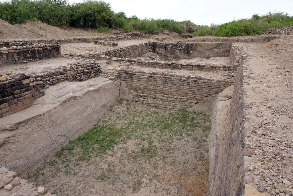
It is tempting to think of as pure products of human will, assembled from blueprints and budgets as if the ground were just a neutral platform. The reality is much stranger and more humbling: London’s hidden rivers, Mexico City’s vanished lakes, and Shanghai’s young delta quietly dictate what is possible, what is risky, and what is almost guaranteed to go wrong. In a sense, every planning decision is a negotiation with an ancient landscape that we tried to cover up but never truly erased.
My own view is that ignoring this deep-time foundation is not just naive, it is reckless. As floods intensify, seas rise, and infrastructure ages, cities that pay attention to their buried rivers, marshes, and seabeds will have a head start on survival. Those that keep pretending the past is safely underground will keep being surprised in very expensive ways. When you step out your front door tomorrow, it might be worth asking: what did this place look like a thousand or a million years ago, and are we really done living with that past – or is it still quietly shaping our future in ways we have barely begun to respect?