
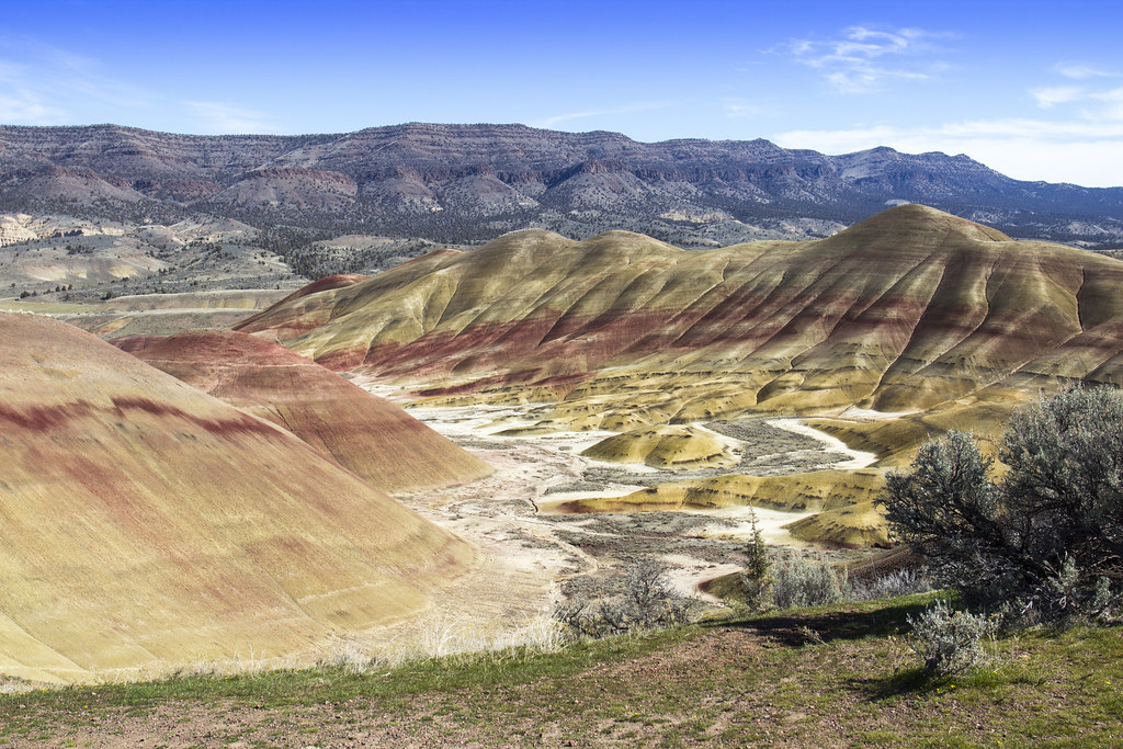
It is hard to look at a familiar skyline or a famous natural wonder and imagine that, in deep time, the same spot might have sat under a tropical sea, buried beneath miles of ice, or perched on the flank of a giant volcano. Yet almost every place on Earth has lived many past lives. Continents have drifted, oceans have opened and closed, and climates have swung from sweltering greenhouse warmth to global deep freeze.
Once you start seeing the world through this deep-time lens, even a quiet city park or a windy beach feels like a time machine. In this article, we will zoom in on ten locations you might recognize today and peel back the geological layers to reveal their wildly different earlier versions. Some used to be seafloors, others were coral reef paradises, and a few sat frighteningly close to asteroid ground zero. By the end, you might never look at a map – or your next vacation spot – the same way again.
The Sahara Desert: From Lush Green to Endless Sand
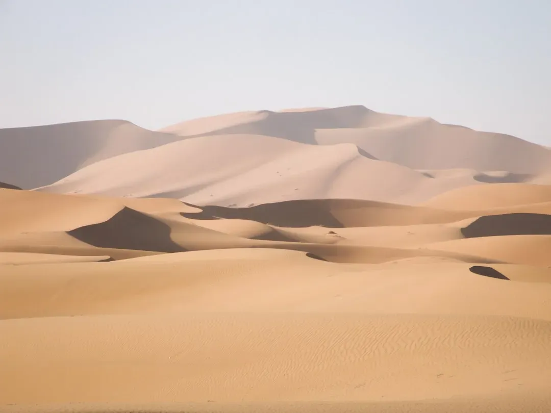
When you picture the Sahara today, you probably think of rolling dunes, shimmering heat, and almost no water in sight. But if you could travel back just a few million years, and further still into the tens of millions, large parts of this desert would shock you with rivers, lakes, and even wetlands teeming with life. Geological and fossil evidence show that North Africa has cycled many times between a dry desert and what scientists call a “Green Sahara,” where monsoon patterns shifted and delivered enough rain to support grasslands, trees, and thriving animal populations.
Go back even deeper, and the story gets stranger: in the age of the dinosaurs, much of what is now desert was a low-lying coastal plain, river systems, and even shallow seas, leaving behind marine fossils and dinosaur bones now weathering out of the sand. The Sahara is not just a dead, static wasteland; it is more like a breathing, slowly changing organism, flipping between extremes over hundreds of thousands to millions of years. The dunes you see today are simply the latest chapter in a long, shape-shifting saga.
Mount Everest: The World’s Highest Peak That Was Once Seafloor
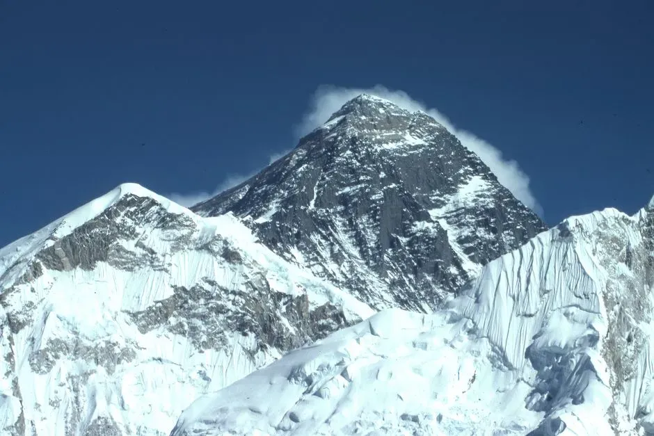
Standing on the summit of Mount Everest, you would be more than five miles above sea level, surrounded by ice, rock, and dangerously thin air. Yet the rocks beneath your boots would quietly tell a very different story: they formed on the bottom of an ancient ocean long before this mountain existed. Many of the rocks on Everest, including at high elevations, are marine limestones and sediments packed with fossils of tiny sea creatures that lived in the long-vanished Tethys Ocean.
Over tens of millions of years, the Indian plate slammed into the Eurasian plate, crumpling and stacking layers of seafloor sediments into the towering Himalayas. Imagine slowly pushing a tablecloth against a wall: the fabric bunches up into folds and ridges, just as the crust did to create these mountains. Millions of years ago, this area would have looked like a broad ocean basin with no hint of the jagged, snow-capped skyline we admire today. In a way, every climber on Everest is walking on the remains of a drowned world.
Grand Canyon: A River Through an Ancient Landscape
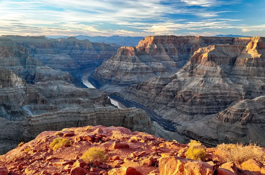
Tourists at the Grand Canyon often focus on the deep gorge carved by the Colorado River, but the real time-travel trick is to imagine what this spot looked like before any canyon existed at all. Many of the colorful rock layers exposed in the canyon walls were deposited in environments that would be almost unrecognizable today: warm coastal seas, tidal flats, desert dunes, and muddy river deltas that came and went over hundreds of millions of years. Each layer is like a paused frame in a very slow, very long movie.
Millions of years ago, the area that is now northern Arizona might have looked more like a flat-topped plateau or a modestly rolling region, with the Colorado River flowing across it without a deep gorge. As the land slowly rose and the river cut down, it sliced through these ancient layers, revealing older chapters with every meter of erosion. So when you peer into the canyon today, you are not just seeing a dramatic hole in the ground; you are looking into a stack of former landscapes, most of which would feel like completely different planets compared to modern Arizona.
Antarctica: Frozen Continent Turned Greenhouse World
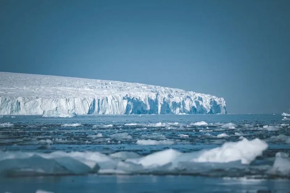
Modern Antarctica is practically shorthand for ice: massive ice sheets, howling winds, and some of the coldest temperatures on Earth. But in the deeper geological past, especially tens of millions of years ago, large parts of Antarctica were surprisingly mild and far less icy, even supporting forests. Fossilized tree stumps, leaves, and pollen show that this continent once hosted temperate or even near-subtropical ecosystems in some regions, with hardy plants and animals making a living where there is now only ice and rock.
In certain time slices, Antarctica was ringed by shallow seas rich in marine life, and its location and climate were very different thanks to shifting continents and higher global greenhouse gas levels. Imagine standing where the ice sheet today stretches to the horizon, but seeing forested hills, river valleys, and perhaps marshy lowlands instead. The idea that our coldest continent used to be green is a powerful reminder that climate and geography can swing far beyond what we have ever experienced in human history.
The Amazon Basin: Once a Giant Inland Sea
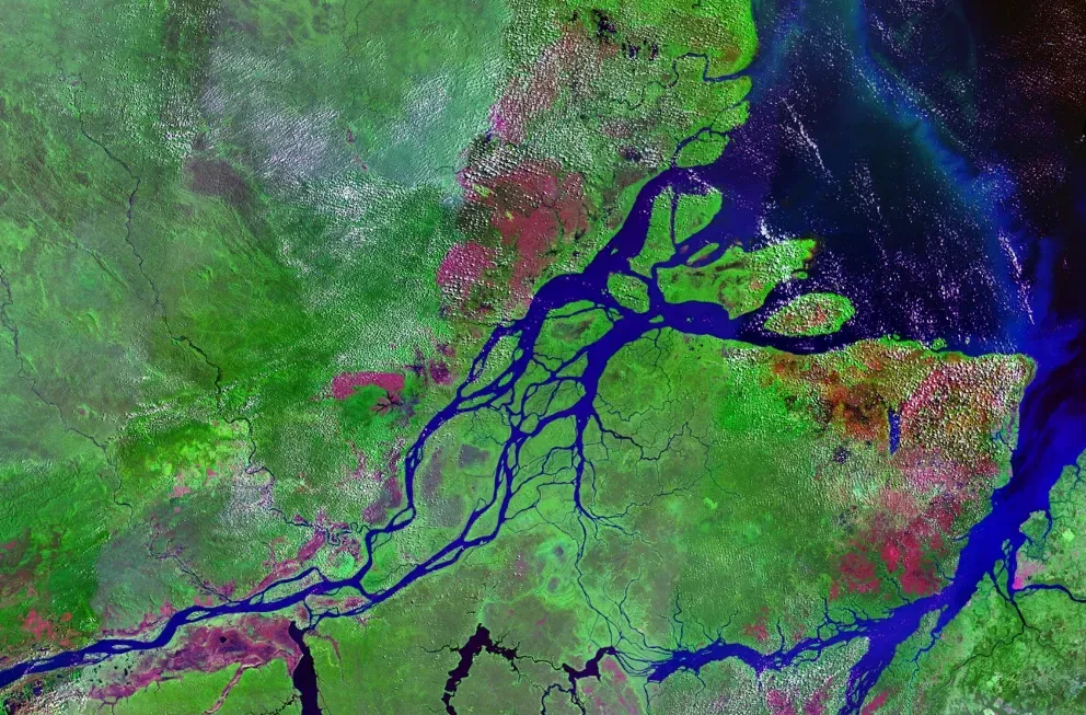
We think of the Amazon as the planet’s ultimate rainforest – humid, densely vegetated, and roaring with biodiversity from the forest floor to the canopy. Yet several million to tens of millions of years ago, parts of the region did not drain toward the Atlantic the way they do now. Evidence from sediments and fossils suggests that large areas of the basin were occupied by vast wetlands and, at times, something closer to a shallow inland sea or massive complex of lakes and swamps, cut off from direct ocean connection.
Instead of a continuous rainforest, some stretches would have looked more like a gigantic inland delta, with muddy water, aquatic plants, and ancient relatives of modern fish, turtles, and crocodiles dominating the scene. As the Andes uplifted and drainage patterns reorganized, rivers carved new paths and eventually linked up to form the modern Amazon system. The lush forest we marvel at today grew over a landscape that spent a long chapter of its life underwater or waterlogged, reminding us that even our most iconic jungles sprang from watery roots.
London and Northwestern Europe: Tropical Seas Before the City
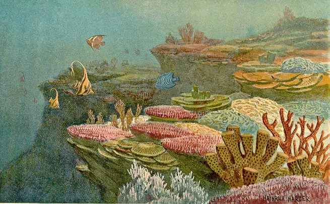
When people think of London’s past, they usually picture Romans, medieval streets, or Victorian fog, not coral reefs and tropical beaches. But if you go back tens of millions of years, the area that is now metropolitan London and much of northwestern Europe sat under warm, shallow seas. The famous white cliffs of nearby southern England, for example, are made of chalk – essentially the compressed remains of tiny marine organisms that thrived in these ancient waters.
In those times, there was no Thames flowing past a cluster of skyscrapers, no cool gray climate, and no sprawling suburbs. Instead, picture a broad, sunlit sea dotted with marine life, with sediments gently raining down to build thick layers of soft mud and chalky deposits. Over time, these settled and lithified into the rock that would later be carved by rivers, glaciations, and human builders. Today’s concrete and glass rest on the quiet graveyard of a vanished ocean, a fact that still feels a bit surreal when you are stuck on a busy London street.
The Himalayas Before the Collision: Two Distant Shores
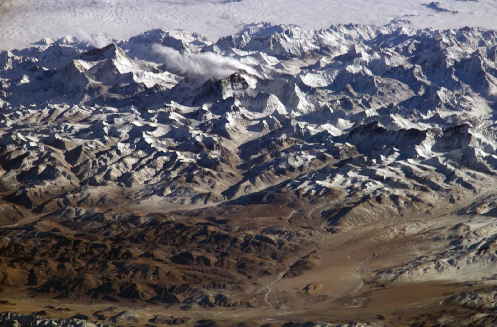
We already met Mount Everest as former seafloor, but it is worth zooming out: the entire Himalayan region tells the story of two once-distant landmasses on a slow-motion collision course. Before India plowed into Eurasia, the area between them was occupied by the Tethys Ocean, a wide, bustling marine realm with its own ecosystems, sedimentary basins, and volcanic arcs. Millions of years before the peaks rose, you would have seen a very different map, with India located much farther south, separated from Asia by open water.
Where hikers today trek through steep valleys and high passes, ancient currents once flowed across the seafloor, depositing layer upon layer of mud, sand, and shells. As the plates converged, the ocean closed, and these layers were scraped up, folded, and crumpled into some of the tallest mountains on Earth. In a sense, the Himalayas are the scar of that lost ocean, a vertical record of the moment when two continents finally collided. It is hard not to feel a bit awed knowing these rugged peaks are, at heart, a fossilized collision zone.
On a personal note, the first time I learned this in a geology class, it completely rewired how I looked at maps; suddenly, mountain ranges felt less like eternal fixtures and more like frozen waves in a planetary crash.
The Mediterranean Sea: A Dry, Deep Desert Basin
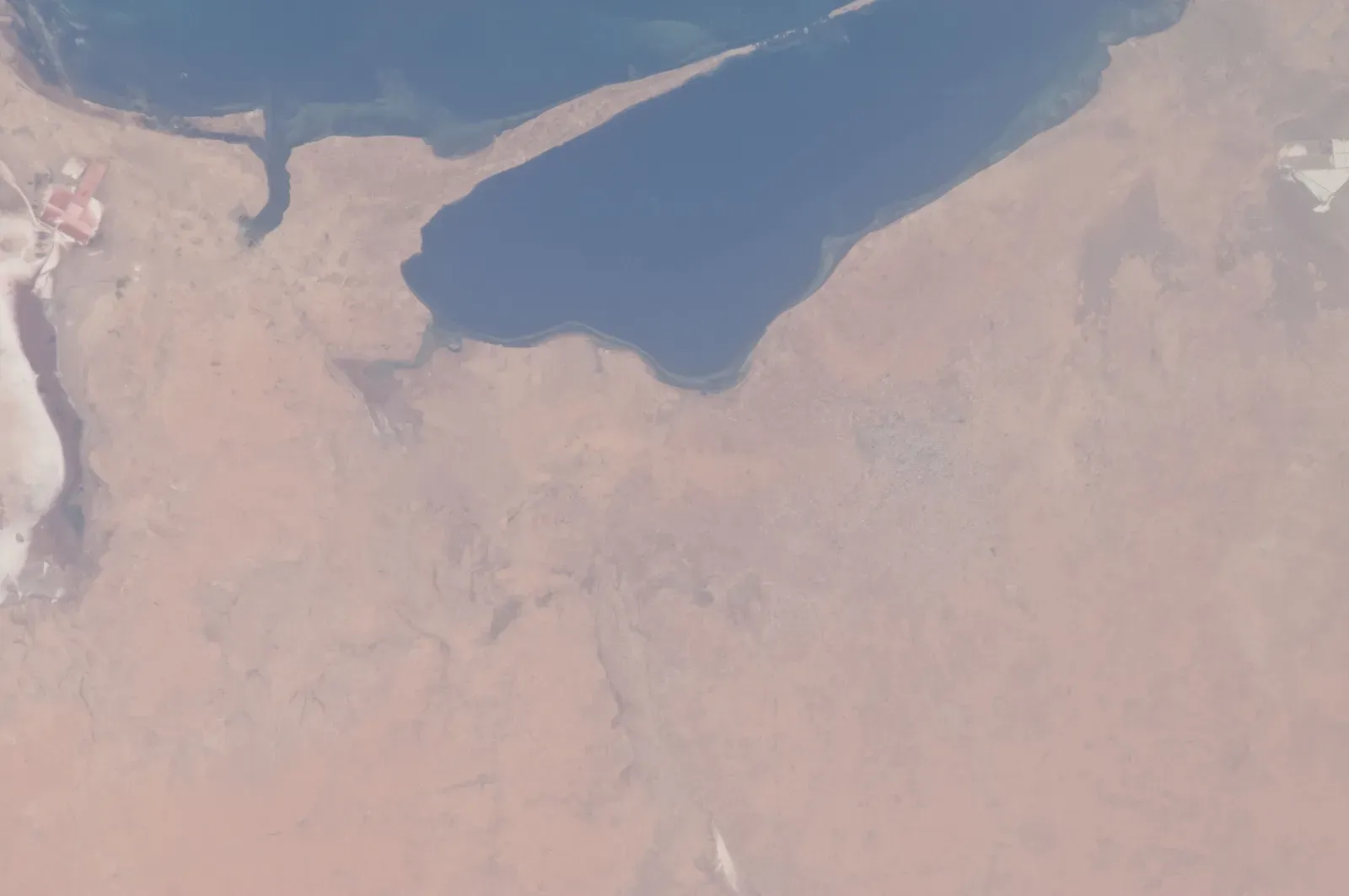
The modern Mediterranean is famous for blue waters, coastal villages, and busy shipping lanes, but in deep time it went through a shocking identity crisis. Several million years ago, during a period known as the Messinian salinity crisis, the connection between the Mediterranean and the Atlantic became severely restricted. Many researchers think that, at its peak, this event caused much of the Mediterranean basin to nearly dry out or become extremely shallow, leaving behind thick layers of salt and evaporites instead of open sea.
If you had visited then, instead of sailing across a sea, you might have looked down from surrounding highlands into a deep, hot, partly desiccated basin with salt flats, briny lakes, and strange, harsh environments. Rivers such as the ancient predecessors of the Nile would have cut dramatic canyons down into this lowered basin, like scars in the landscape. Eventually, the connection to the Atlantic reopened and water rushed back in, refilling the basin and creating the sea we know today. It is a reminder that even something as seemingly permanent as a major sea can flip to a desert-like environment and back again.
New York City and the U.S. East Coast: From Tectonic Crash Zone to Coastal Plain
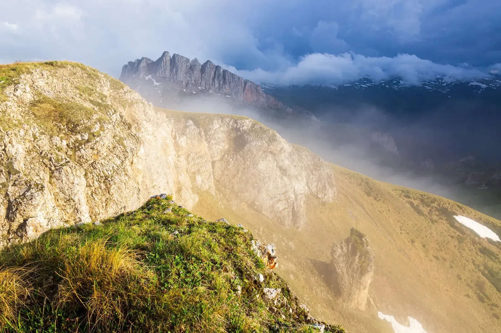
New York City feels about as modern and human-made as it gets – glass towers, asphalt, and subway tunnels. Dig through that, though, and you find rocks shaped by a deep-time story of colliding continents and vanished mountain ranges. Hundreds of millions of years ago, long before the Atlantic Ocean existed, the area that is now the eastern United States was part of a massive tectonic collision that helped assemble an ancient supercontinent. Back then, this region hosted towering mountains that in some ways rivaled today’s Himalayas, formed during continental smash-ups.
Over unimaginable spans of time, those ancient peaks were worn down by erosion, leaving behind hard, deformed rocks that would later underpin the modern landscape. When the supercontinent eventually broke apart and the Atlantic opened, the region shifted from being near the heart of a collision zone to the edge of a growing ocean. What is now a bustling coastal city with skyscrapers and bridges once sat amid rising orogenic belts and deep roots of mountain chains. Walking through Manhattan, it is easy to forget that beneath the street grid lies the wreckage of a mountain range that disappeared long before humans existed.
Australia’s Great Barrier Reef Region: Ancient Landscapes Before the Modern Reef
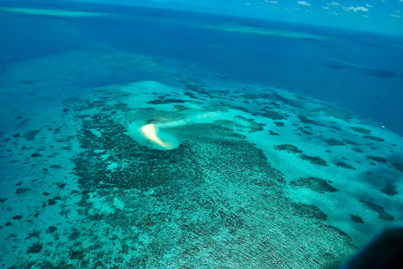
Today, the Great Barrier Reef is one of Earth’s most famous natural wonders, stretching along Australia’s northeastern coast as a living, colorful marine ecosystem. But the seafloor and continental margin it rests on have gone through many dramatic changes over tens of millions of years. Long before the modern reef system built itself up, the region saw shifts in sea level, coastline migration, and earlier reef phases that grew and then drowned or eroded when conditions changed.
In some earlier periods, parts of what is now submarine reef platform were dry land, with rivers and floodplains crossing areas that are now submerged. In others, different types of carbonate platforms and reef communities occupied the area, only to be reshaped by changes in temperature, ocean chemistry, and subsidence. The reef we know now is like the latest version of a long-running software update installed on an old, often rewritten geological hard drive. As climate and sea-level pressures mount today, it is sobering to realize that this whole region has reinvented itself many times before – though usually on timescales far slower than the pace of modern human-driven change.
Opinionated Conclusion: The Comforting Shock of a Restless Planet

When you step back and really absorb these stories, one thing becomes impossible to avoid: the Earth is not a static backdrop for human history, it is an active character with its own wild arc of plot twists. Deserts become lakes, forests turn to ice sheets, mountains rise from former seafloors, and seas themselves can vanish into salt-crusted basins. I find that both unsettling and oddly comforting. Unsettling, because it underlines how fragile and temporary our familiar landscapes are; comforting, because it shows that change is the planet’s default mode, not a glitch.
In my view, we make a mistake when we talk about “preserving nature” as if the goal were to freeze everything exactly as it is right now. The real challenge is to understand the pace and scale of change we are driving compared to the slow, creative churn of geological time, and then choose how to live with that knowledge. These ten places prove that every beach, city, desert, and forest is just one frame in an epic, ongoing time-lapse that started long before us and will continue long after. The real question is: what kind of world do we want future geologists to read in the rocks beneath our feet?