
Imagine standing on a rocky shore tens of thousands of years ago. No GPS, no compass, no paper map tucked in your pack – just the roar of waves, a shifting sky, and the line where sea meets land. And yet, people were somehow crossing open water, hopping between islands, and following coasts they had never seen before. It sounds almost impossible, until you look at the clues they left behind.
For a long time, the stereotype of prehistoric humans was painfully unfair: slow, fearful, hugging rivers, and terrified of the sea. But the more archaeologists dig, the more that picture falls apart. The evidence is piling up that our ancestors understood coastlines in ways we are only starting to appreciate – reading waves, stars, wind, and birds like a living, moving map. Here are seven of the strongest clues that they were serious coastal navigators long before anyone drew a line on parchment.
1. Early Sea Crossings That Should Have Been Impossible by Accident
One of the biggest giveaways that prehistoric people navigated coasts on purpose is simple: some places were never reachable by walking, even during the lowest sea levels of the Ice Age. When you find ancient stone tools or human remains on islands that were always separated by deep water, chance drifting on a log stops being a convincing explanation. At some point, people had to deliberately set out across water, aim for land they could not fully see, and arrive in a repeatable way.
Take the earliest human presence in places like Australia and surrounding islands. Reaching these landmasses would have required multiple sea crossings, not just a single lucky raft ride. That suggests groups who understood where the land roughly was and how to track along coastlines and channels. You do not end up with a whole population on a distant landmass just by random drift; you get that when people keep making the trip and know how to get back.
2. Ancient Coastal Settlements Far from Safe River Routes
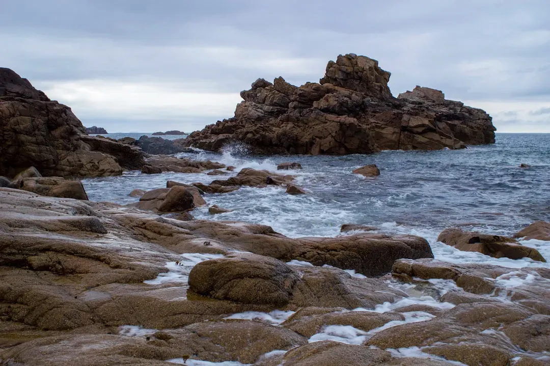
Another strong clue comes from where prehistoric camps and settlements are found. Archaeologists increasingly identify ancient sites along now-submerged shorelines or perched on old coastal terraces, not just near big rivers. These locations often appear on stretches of coast that are exposed, windy, or tricky to reach by land, which suggests people were comfortable traveling along the shoreline itself, not only following inland paths.
When you see repeated use of the same bays, coves, and headlands over thousands of years, it starts to look like a mental map of the coast. People were likely using these spots as familiar waypoints – places to rest, fish, repair boats or rafts, and wait out bad weather. This pattern is exactly what you would expect from seasoned coastal travelers who know the rhythm of tides and the safest inlets to slip into, long before anyone sketched them on a map.
3. Stone Tools and Exotic Materials That Traveled by Sea
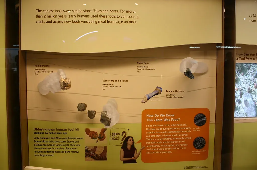
Sometimes the best evidence for ancient navigation is not people, but rocks. Archaeologists often find stone tools or raw materials that clearly originated far away from where they were discovered, including on islands and coastal sites. When that stone only exists on a specific island or a distant stretch of coast, yet shows up in toolkits hundreds of kilometers away, it points to travel and trade over water.
Think of it like finding a piece of a specific mountain on a beach far down the shoreline. If that rock shows up repeatedly in different layers and sites, it hints at regular journeys, not one-time accidents. This kind of long-distance movement of materials suggests people knew not only how to follow the coast, but also how to plan trips, remember routes, and probably teach the next generation where to find valuable resources across the sea.
4. Early Seafaring Technologies and Watercraft Traces
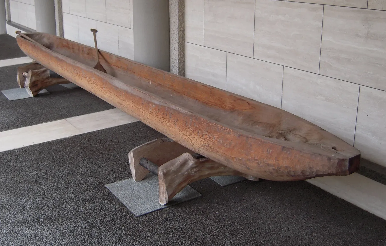
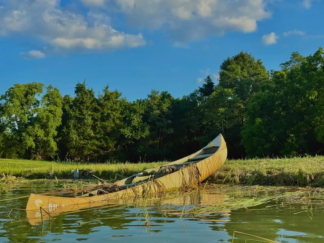
Direct remains of ancient boats rarely survive, because wood, bark, and plant fibers decay quickly. Still, hints of early watercraft pop up in indirect but powerful ways. Some coastal and island sites show patterns of occupation that almost demand the use of boats, rafts, or dugout canoes – especially when the gap between landmasses is too wide or the currents too strong for simple swimming or clinging to debris.
In a few regions, ancient tools and wear marks on wood or stone suggest woodworking geared toward hollowing trees, shaping planks, or crafting paddles. Even if the actual vessels have vanished, the logic is hard to escape: repeated island occupation, over long periods, implies some kind of reliable craft. Once you have reliable boats, hugging and exploring coastlines starts to look less like a wild gamble and more like a planned strategy for migration, hunting, and trade.
5. Knowledge of Winds, Currents, and Tides Embedded in Daily Life
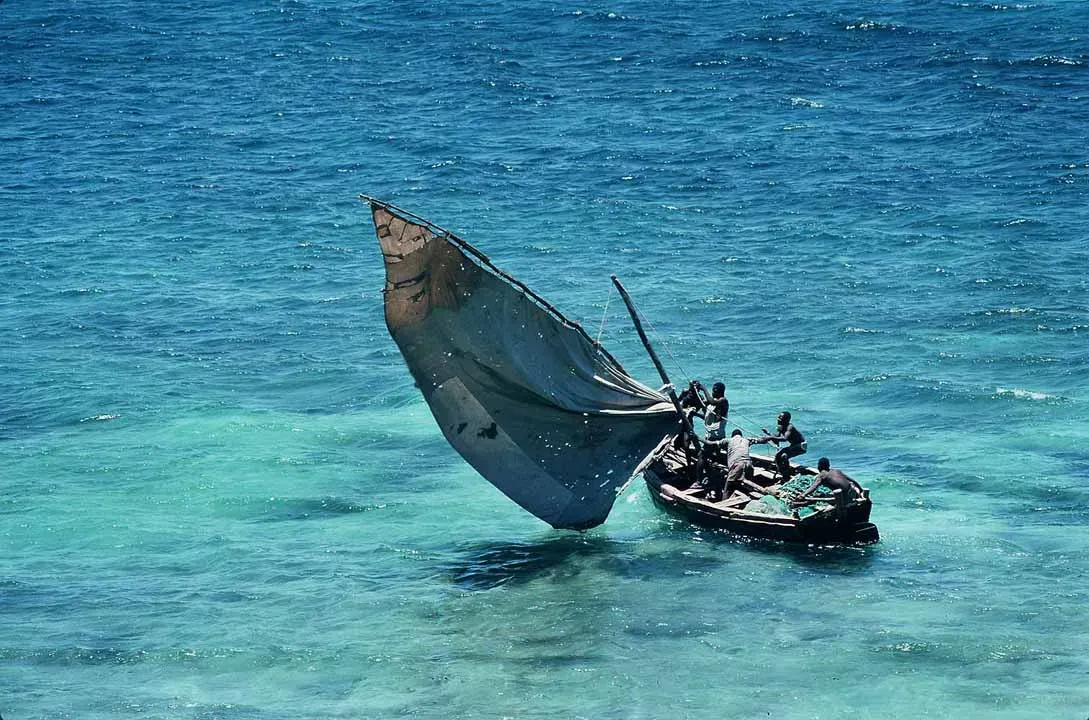
Long before formal science, people learned by watching, listening, and surviving. Coastal lives demanded a fine-tuned awareness of tides, currents, and prevailing winds. If you rely on the sea for food and travel, you quickly learn that some directions are easier to sail in the morning, others in the evening, and certain bays are dangerous when the wind shifts. That kind of knowledge is basically navigation, even if no one is drawing charts.
Ethnographic studies of more recent traditional seafaring cultures show how this can work without written maps: people memorize sequences of landmarks, star paths, swell directions, and seasonal patterns like a song. It is very likely that prehistoric coastal groups did something similar. Over generations, they would have built collective memory of how to move safely along the shore, when to depart, and which routes to avoid, turning the ocean from a threat into a highway.
6. Rock Art and Coastal Symbolism That Hint at Sea Awareness
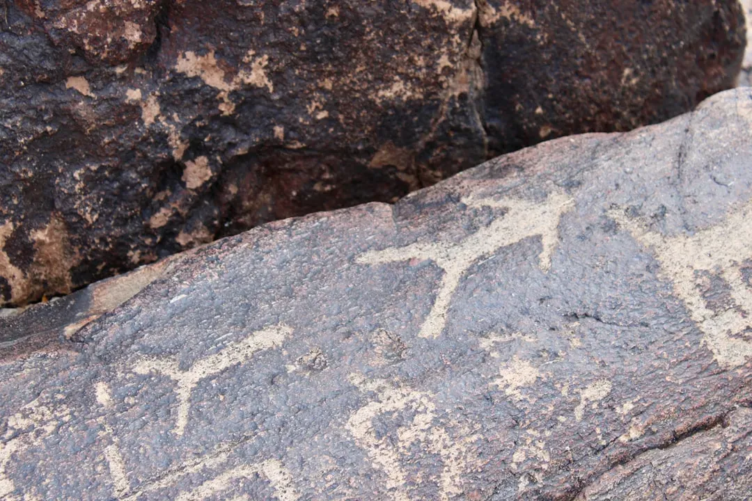
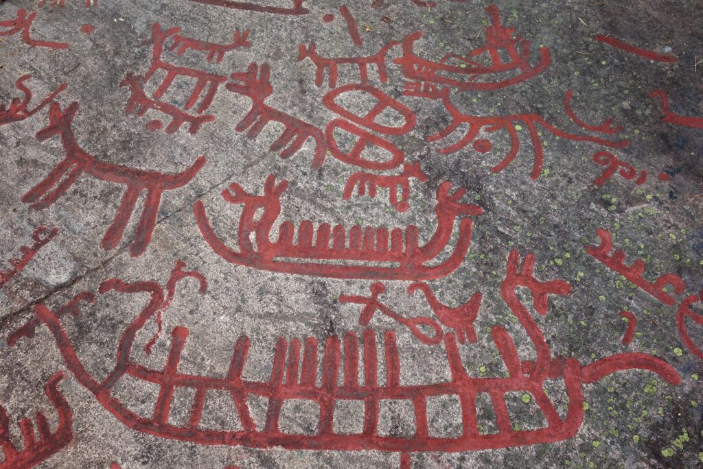
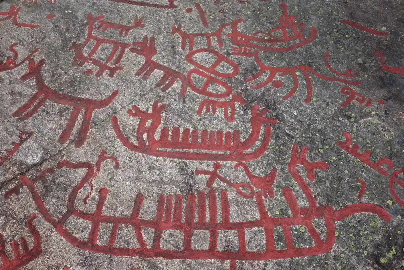
Rock art from ancient coastal regions sometimes depicts boats, waves, marine animals, or other sea-related motifs. Even when these images date to later prehistory, they prove that the ocean was not just background scenery; it was central enough to be carved or painted into stone. The presence of repeated boat-like shapes and stylized wave patterns suggests people thought deeply about seafaring and the rhythm of the water around them.
While we have to be careful not to read too much into every line and spiral, the overall pattern matters. When coastal cultures invest effort in carving sea creatures, shorelines, and possible vessels into rock, it shows emotional and practical attachment to the marine world. That is exactly the mindset you would expect from people who used coastlines as highways – marking dangerous spots, sacred coves, or successful routes in symbolic form that helped reinforce shared knowledge.
7. Rapid Human Expansion Along Coastal “Highways”
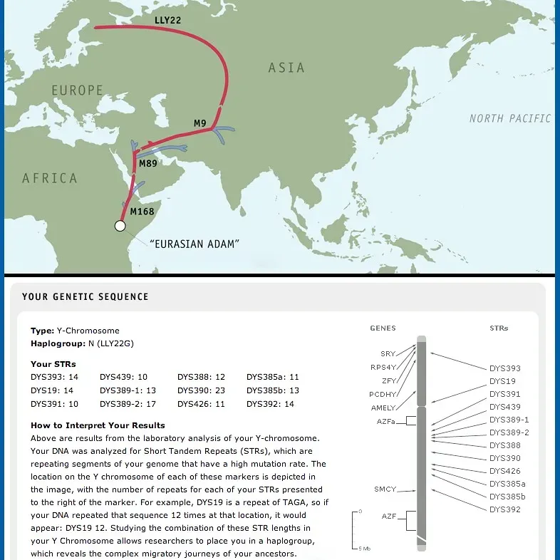
One of the most compelling big-picture clues is the speed at which humans spread around the globe once they left their original homelands. Some scientists argue that a coastal route, sometimes called a “kelp highway,” offered a relatively rich, continuous band of food resources – fish, shellfish, seaweeds, birds, and marine mammals. Following this band, people could move surprisingly fast, leapfrogging from bay to bay, island to island.
When you picture this, coastlines stop being edges and start being corridors. A family group could move along the shore with a mixture of walking and short water crossings, learning the shape of the coast as they went. Over generations, this would create long, remembered pathways that worked like unwritten maps in people’s minds. The pattern of ancient sites popping up along old shorelines fits this idea well: humans did not just survive by the sea; they used it to reach the rest of the world.
Conclusion: Coastlines Were Our First Great Highways
Looking at all these clues together – impossible-by-accident sea crossings, coastal settlements, exotic stones, traces of boats, and the rhythm of winds and tides – it is hard not to see prehistoric people as bold, inventive navigators. The old image of them as timid land-walkers feels deeply outdated. In my view, the more honest picture is of curious coastal travelers who treated the ocean less like a wall and more like a road, even if that road shifted and roared back at them every day.
We might never find a prehistoric “map” drawn on bark or bone, and maybe we do not need to. Their maps were written in memory, in stories told around fires, in the feel of a swell beneath a simple boat, and in the choice to set out toward a dim horizon instead of staying safely on familiar sand. The next time you stand on a shore and stare at that line where blue meets sky, it is worth asking yourself: would you have had the courage to push off and trust the coast to guide you home?