
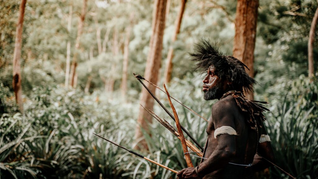
Picture a small band of hunter‑gatherers moving across a wild landscape. They are quiet, scanning every rise, every gully, every clump of brush. Before a single spear leaves a hand, the hunt has already begun in their heads: reading the land the way we scroll a map app today. That silent, strategic dance with terrain is what kept our ancestors alive for hundreds of thousands of years.
We often imagine ancient hunters as relying on brute strength or simple luck. In reality, they leaned hard on geology, plant communities, wind channels, and water patterns, turning the land itself into a tool long before weapons came into play. Let’s walk through nine powerful ways they used landscape features to control, corner, and outsmart prey – without needing to throw a single spear until the odds were firmly in their favor.
Using Natural Bottlenecks to Funnel Game
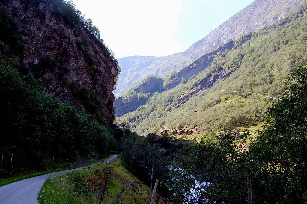
One of the smartest moves ancient hunters made was to let the land do the herding for them. Narrow valleys, cliff edges, rocky outcrops, and steep ravines acted like natural funnels, pushing animals into predictable paths where they could be ambushed more safely and efficiently. Instead of chasing a herd across open plains, hunters positioned themselves along these choke points and waited, conserving energy and lowering risk.
Archaeologists have found evidence of this in many places: game drives that end at canyon mouths, narrow passes filled with hunting debris, and kill sites clustered at the ends of ridges rather than in the middle of open fields. It is a reminder that brains usually beat brawn; if you know where the antelope or deer have to pass, you do not need to sprint after them. In a way, these bottlenecks were the original traffic intersections, and hunters learned early how to sit at the right corner.
Turning Cliffs and Drop‑offs into Natural Traps
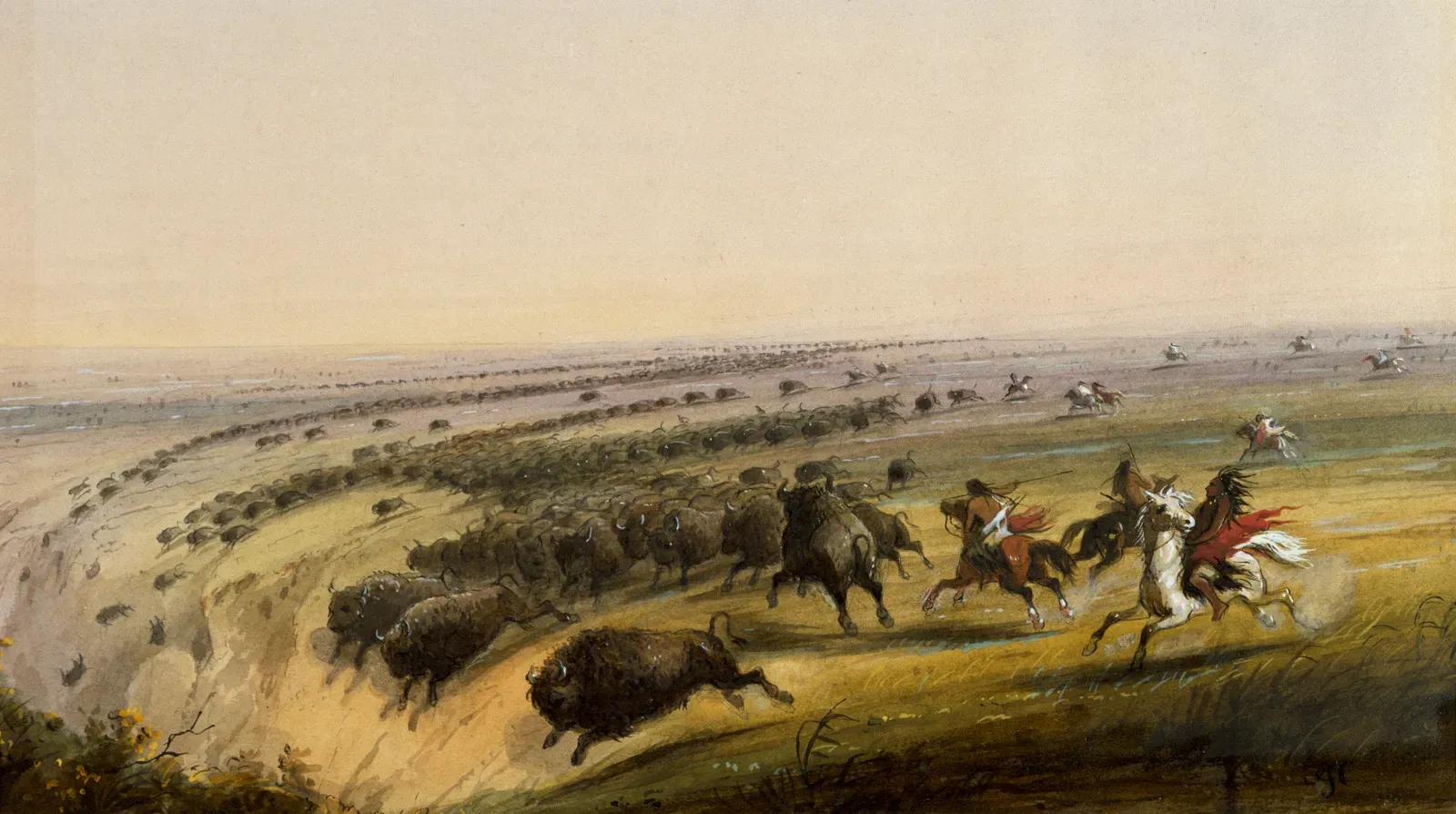
Sheer drops and steep cliffs are terrifying to us, but for ancient hunters they could be an enormous advantage. In a number of regions, people learned to drive animals toward drop‑offs where panic and crowding could cause them to fall or hesitate, making them easy targets. These so‑called “buffalo jumps” on the North American Plains are a dramatic example, but the basic idea shows up in different forms worldwide: push animals where they cannot safely flee.
Before any spear left a hand, planning revolved around reading the terrain – where could animals be pressured, and where was the fall line? Teams coordinated to approach from angles that nudged herds closer and closer to danger without spooking them too early. It sounds brutal to modern ears, and it was, but it also reflects a deep, intimate understanding of how animals respond to terrain and pressure, and how to blend geography with group tactics.
Reading Waterways as Animal Highways
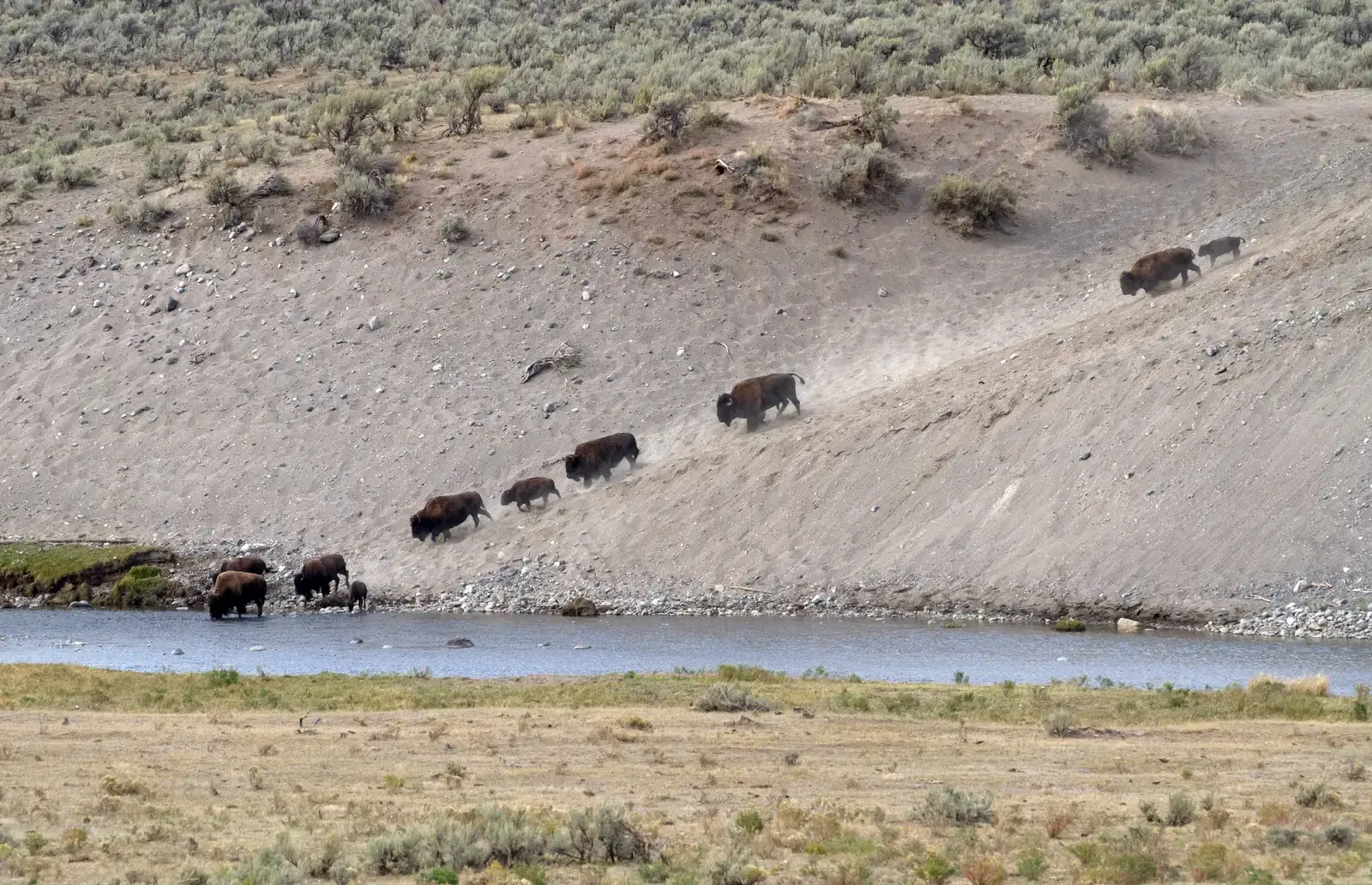
Rivers, streams, and marsh edges acted like glowing neon signs for ancient hunters: water is life, and most animals have to visit it regularly. Long before a spear was raised, hunters paid attention to bends in rivers, narrow crossings, shallow fords, and areas where banks steepened or flattened. These spots concentrated animal traffic, turning otherwise huge landscapes into manageable hunting zones.
Over time, people learned seasonal rhythms too. Certain watering holes might be busiest at dawn in the dry season, or specific river crossings would become migration chokepoints when herds moved between grazing areas. By mapping these patterns in their heads, hunters could position themselves downstream of the action, staying hidden behind banks, reeds, or overhanging trees. It was less about wandering the land in hopes of a lucky encounter and more about waiting where the land practically guaranteed one.
Using Wind and Topography as an Invisible Shield
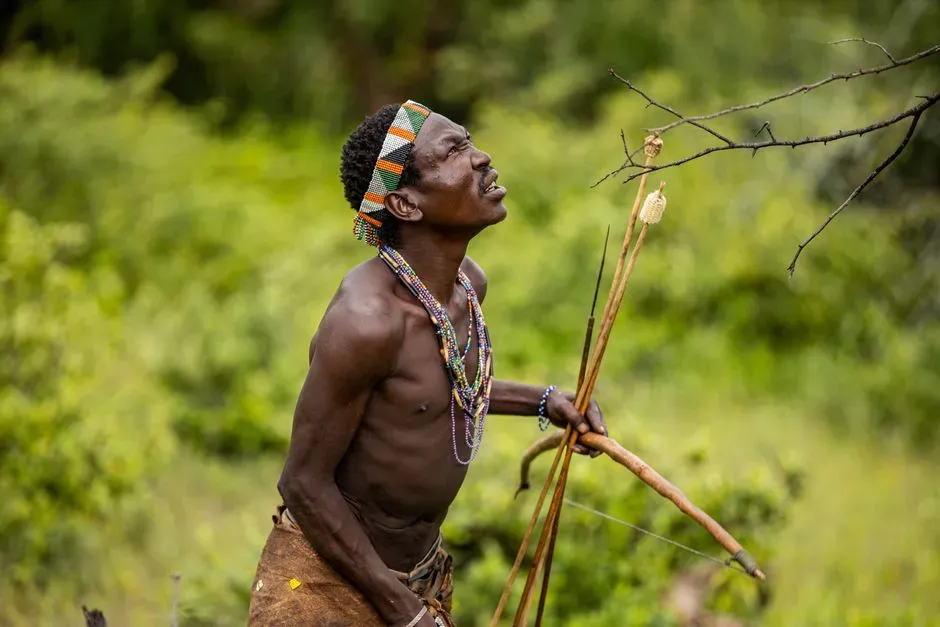
Anyone who has ever tried to sneak up on a dog knows how powerful smell is. For ancient hunters dealing with prey animals whose noses were far more sensitive, wind direction was almost everything. Hills, valleys, and forest edges channeled air currents in predictable ways, and hunters had to move through the land as if tracing invisible rivers of scent, always staying “upwind” so their smell would blow away from the animals.
Ridges and slopes also shaped how sound carried. A shout on a bare hillside might echo far, while the same sound in a sheltered depression would be swallowed. Hunters took advantage of this, approaching through low ground or using rolling terrain to dampen their noise. In a sense, they wore the land as camouflage – not just visually, but acoustically and chemically, using terrain and wind as an invisible shield that made them ghosts until it was too late for their prey.
Exploiting Vegetation Edges and Transition Zones
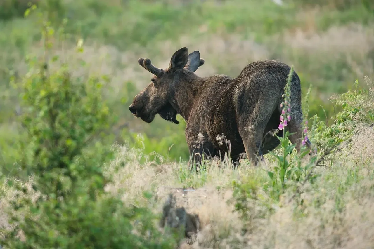
Animals love edges: where forest meets grassland, where marsh blends into solid ground, where scrub opens into a clearing. These transition zones offer food, cover, and escape routes all at once, so they naturally draw both herbivores and the predators that follow them. Ancient hunters recognized that they did not need to search every square meter of forest or open plain; they just needed to watch the seams where habitats stitched together.
In these edges, hunters could use vegetation to break up their shape and movement. A line of bushes or tall grass became moving cover, letting a patient hunter creep within range while animals grazed a few steps outside the tree line. To me, this feels oddly similar to how we hang around the “edges” of online spaces today – forums, feeds, and inboxes – where the most activity flows. For ancient people, those ecological edges were the social media of the wild, and they watched them with the same obsessive attention we now give to screens.
Following Game Trails and Reading Ground Sign
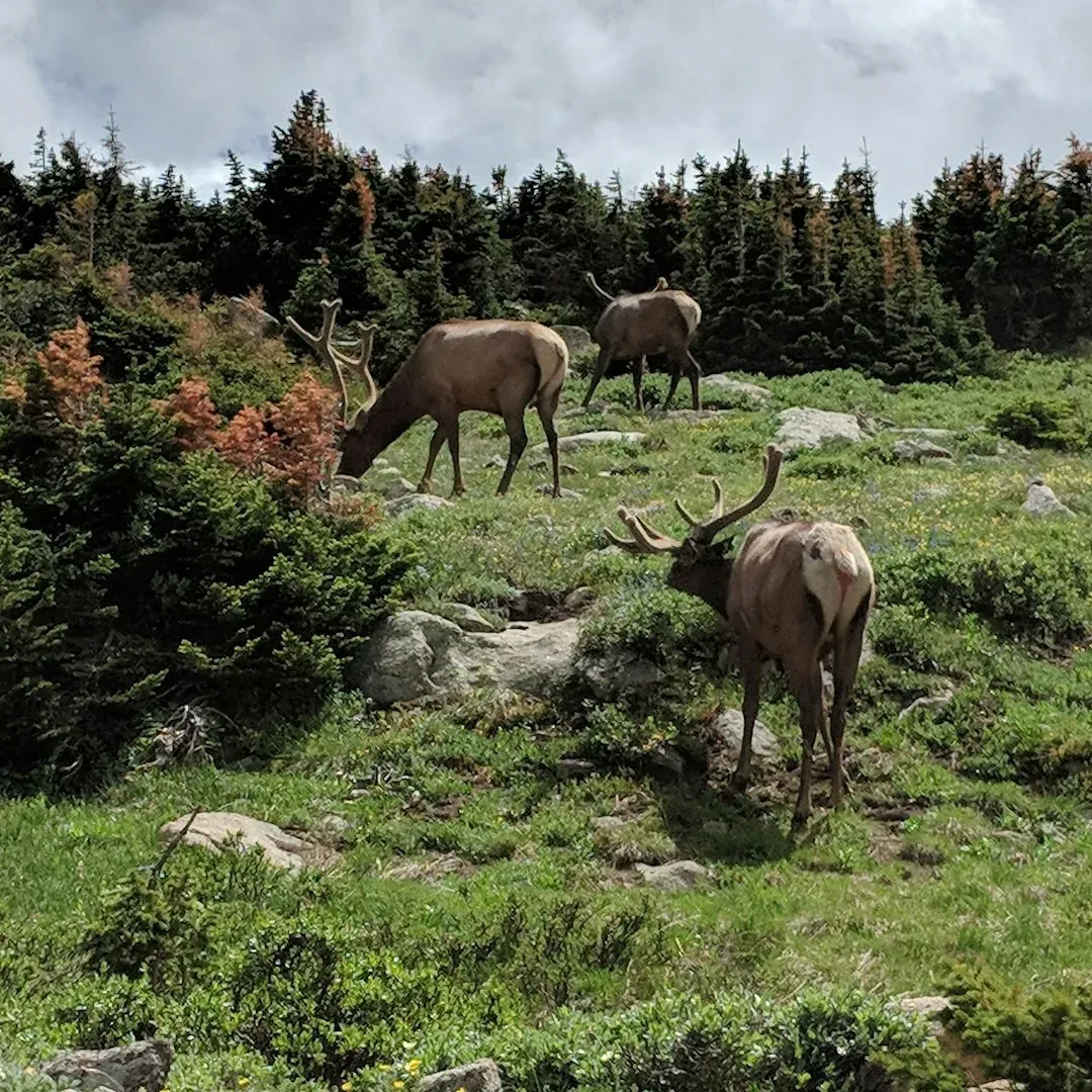
Long before tracking became a romantic idea in movies, it was a practical way to navigate the land. Repeated animal use carves faint paths through vegetation and soil, which over seasons become reliable game trails. Hunters learned to recognize not only the obvious routes, but subtle differences: a narrow path used by smaller animals, a beaten track favored by heavy hooved herds, or a lightly pressed line made by cautious, solitary browsers.
These trails told stories. Bent grasses, fresh droppings, disturbed stones, and scuffed bark worked like timestamps and map labels, indicating when and what had passed by. Hunters did not randomly roam; they followed these living highways and set up ambushes where trails crossed ridges, dipped into gullies, or squeezed between rocks. It is humbling to realize that what we now call “reading data” in graphs and dashboards used to mean literally reading the ground with your eyes and fingertips.
Using Hills, Ridges, and Lookouts for Surveillance
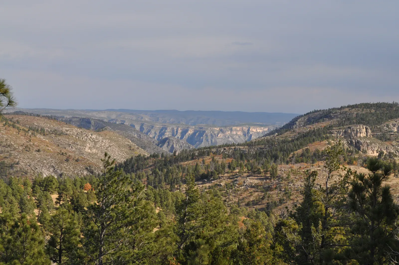
Elevation is power. From a high ridge, a hunter could scan for dust clouds, movement in the grass, dark lines of animals at a distance, or even listen for faint calls carried on the wind. Before any direct approach, groups would often use elevated vantage points to decide whether a hunt was worth the energy that day or if they should conserve their strength and move on. It was an early version of risk‑reward calculation, done with eyeballs instead of spreadsheets.
Hills and ridges also shaped how hunters moved. They might travel just behind a crest line, staying out of sight while still able to peek over in spots to check for game. I have felt a tiny echo of this while hiking, walking just off the trail to get a better view without being seen by people ahead. For ancient hunters, though, this was not about privacy or aesthetics; it was literally about staying alive and fed, turning every rise in the landscape into a decision point.
Leveraging Seasonal Routes and Migration Corridors
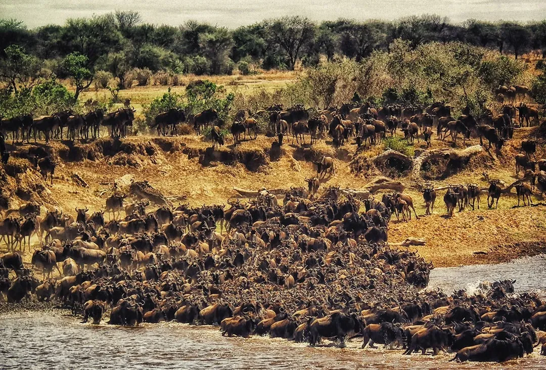
Many large animals move with the seasons – following fresh grass, water, or breeding grounds. That means their paths are not random; they trace regular corridors across the land, year after year. Ancient hunters paid close attention to these patterns, learning which valleys, passes, and plains became animal highways during certain months. Long before any spear was lifted, success depended on simply being in the right place at the right time.
This is where landscape knowledge and memory fused. People noticed that when snow receded on a certain slope or a particular plant flowered, herds would soon show up along a familiar route. Entire camps and temporary shelters were placed where these migratory waves could be intercepted. To me, this is one of the most impressive mental feats: keeping a living calendar in your head that syncs climate, plants, animal movements, and geography into one coherent, repeatable strategy.
Using Caves, Overhangs, and Rock Shelters as Strategic Bases
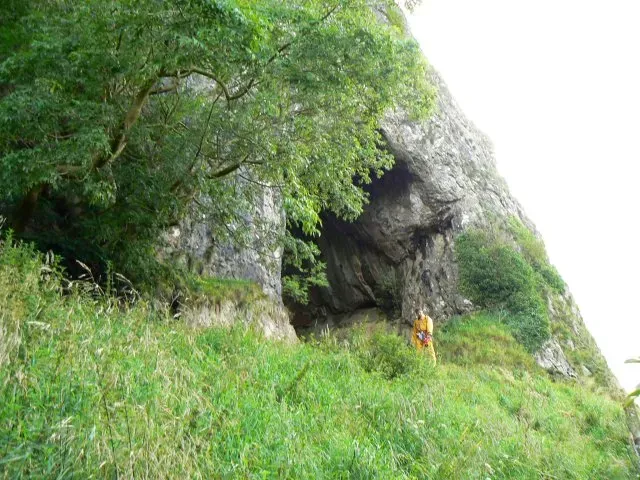
Caves and rock shelters were more than just places to sleep; they were hubs of observation and staging. Many are positioned with long views over valleys, rivers, or open plains, which is probably no accident. From the safety of a sheltered overhang, ancient hunters could watch animal movements across days and weeks, building a mental map of routines before deciding when to strike. In harsh climates, these spots also minimized exposure, meaning people could conserve energy and still gather vital information.
Some of these sites show dense layers of animal bones and tools, suggesting repeated use across generations. That continuity hints at something deeper: families and groups passing down not just a physical shelter, but the knowledge that “from here, you can see where the animals will be.” Today we might talk about a favorite lookout point or a cafe where you can “see the whole city move.” For them, a cave mouth overlooking a valley was both a home and a command center for the hunt.
Building and Enhancing Landscape Features with Simple Structures
Although the title focuses on natural features, one of the most intriguing tricks is how ancient hunters lightly edited the landscape to make those features even more effective. Stone alignments, low walls, brush fences, and shallow pits have been found in association with hunting grounds in various parts of the world. These simple constructions nudged animals toward existing bottlenecks, made natural funnels tighter, or disguised dangerous ground as safe passage.
What matters here is that the planning began long before any particular hunt. People spent time between hunts quietly reshaping certain spots so that future animals would move in predictable ways. In a sense, they were laying down “software” on top of the “hardware” of the land: subtle, persistent modifications that configured how wildlife interacted with valleys, ridges, and open ground. By the time a spear finally flew, the outcome had been influenced by choices made weeks, months, or even generations earlier.
Conclusion: The Land Was Their First and Greatest Weapon
When you look closely at how ancient hunters worked, one pattern jumps out: the spear was almost the last step, not the first. The real power lay in knowing where wind curled around a hill, how herds squeezed through a rocky gate, which river bend they favored in a dry year, and where a single hidden figure could turn an entire migration path into a trap. The land itself became the primary tool, and weapons were just the final punctuation mark on a story already shaped by terrain.
I think we badly underestimate that quiet intelligence. We celebrate new technologies, but our ancestors survived with nothing more than sharp eyes, pattern recognition, and a relationship with the landscape that most of us have lost. Maybe the most uncomfortable truth is this: for them, missing those patterns meant hunger or death, so they paid attention in a way we rarely do. The next time you stand on a hill, walk beside a river, or see a narrow alley between buildings, it is worth asking yourself – if you had to live by your wits alone, would you see what they saw, or would the landscape still be hunting you instead?