
Stand in an open field long enough, and you start to realize something strange: the wind is not just passing through. It is leaving messages. It leans the grass in one direction, carves ripples into sand, shapes lone trees into permanent bows. Even when the air has gone still, you can still read it – in the ground, in the vegetation, in the sound of distant wires humming after a storm.
In a sense, wind is like a ghost writer of the landscape, constantly editing and rewriting what we see. We usually notice it only when it howls in our ears or slams a door shut, but its quiet work is everywhere. Once you know what to look for, a wide plain or beach becomes a living archive of air in motion.
This article walks through thirteen of the clearest, most beautiful ways wind records itself on open landscapes – from the subtle tilt of a tree to the marching patterns of sand dunes. Some are poetic, some are brutally physical, and all of them show how air, something invisible, turns into shape, sound, and structure you can actually touch.
#1 Grass and Grain Laid Down Like Brushstrokes
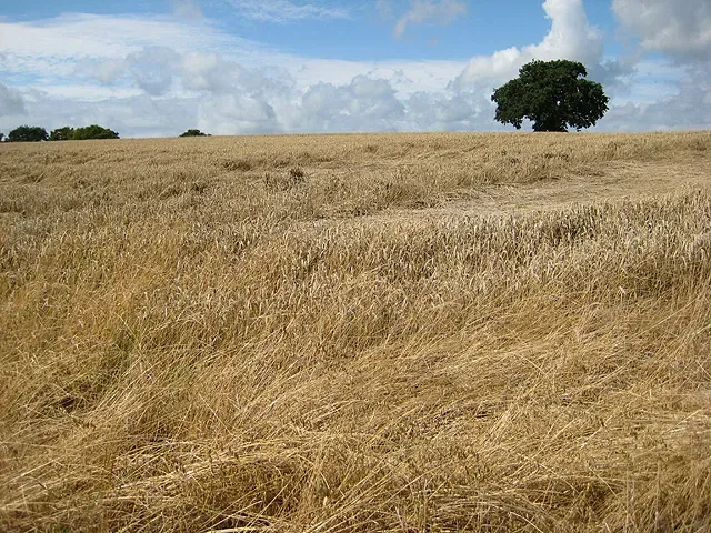
Have you ever watched a gust move across a field of tall grass or wheat and thought it looked like someone was painting the land in real time? Those waves and swirls are not just pretty; they are a direct record of wind speed, direction, and turbulence at that moment. Each patch that bends and shimmers is responding to the pressure of the air, like a thousands-strong seismograph made of stems and leaves.
Once the wind dies down, the vegetation often does not reset perfectly. Stems can lodge or partially bend, especially after a storm or when they are wet and heavy. Agricultural scientists pay close attention to how crops like wheat or barley lay over in storms, because the flattened patterns reveal how strong the gusts were, how long they lasted, and from which direction they came.
On open grasslands and prairies, repeated prevailing winds can even bias the growth of certain species. Taller grasses might lean permanently or have a consistent “comb-over” appearance, while low, flexible plants stay more upright. Over seasons, you can literally read a map of the dominant winds in the soft tilt of a landscape that looks natural but is actually wind-edited.
- Fields act like a living, moving wind map.
- Flattened or lodged patches reveal storm intensity and direction.
- Long-term leaning of vegetation points to prevailing winds.
#2 Trees Sculpted Into Wind Flags
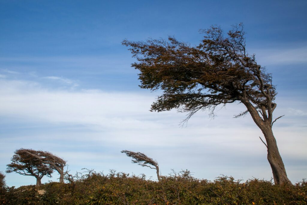
One of the most dramatic signatures of wind on open terrain is the wind-flagged tree. On a coast, plain, or exposed hilltop, trees often grow lopsided, with branches stretched out away from the dominant wind and almost nothing on the windward side. These are sometimes called banner trees or krummholz in high mountains, and they are basically three-dimensional wind roses carved out of living wood.
What you are seeing is the outcome of years of mechanical stress. Wind pushes harder on windward branches, breaks off twigs during storms, and dries out buds and needles on that side. On the leeward side, branches are sheltered. They face lower stress, retain moisture better, and survive more often, so over many seasons the tree grows mostly where the wind is kinder.
Foresters and ecologists use these asymmetric shapes as long-term records. If nearly every tree on a ridge points the same way, it is a strong clue about the prevailing wind direction over decades. In coastal zones, trees crouching low and leaning inland tell you the sea winds are so strong and frequent that the forest has been permanently rearranged around them.
#3 Dunes and Ripples Written in Sand
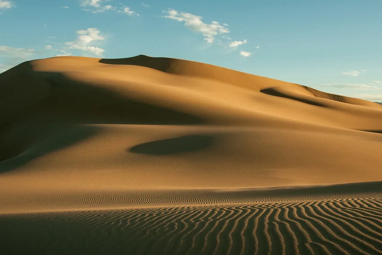
Sand dunes are probably the most iconic way wind writes on the land. On beaches, deserts, and even lake shores, wind pushes sand grains along the surface, causing them to hop and bounce in a process called saltation. As grains collect, they form ripples and dunes with gently sloping upwind sides and steeper slip faces on the downwind side, creating a clear signature of direction.
Those small ripples that look like fish scales on the sand are incredibly sensitive to the last winds that blew. Their orientation and spacing depend on both wind speed and grain size. After a strong gusty day, you may see a nested set of patterns: large, older ripples overwritten by finer, sharper ones made by the most recent winds.
On larger scales, dunes migrate slowly, sometimes only a few meters over years, other times much faster depending on sand supply and wind power. Geomorphologists measure that movement to reconstruct wind regimes and even past climate. In satellite images, entire dune fields look like enormous bar codes across a desert, each line a long-running summary of wind direction and strength.
- Small ripples capture recent gusts and local wind shifts.
- Larger dunes track long-term prevailing winds and sand supply.
- Dune migration rates hint at how energetic the wind climate is.
#4 Dust Plumes and Loess Blankets
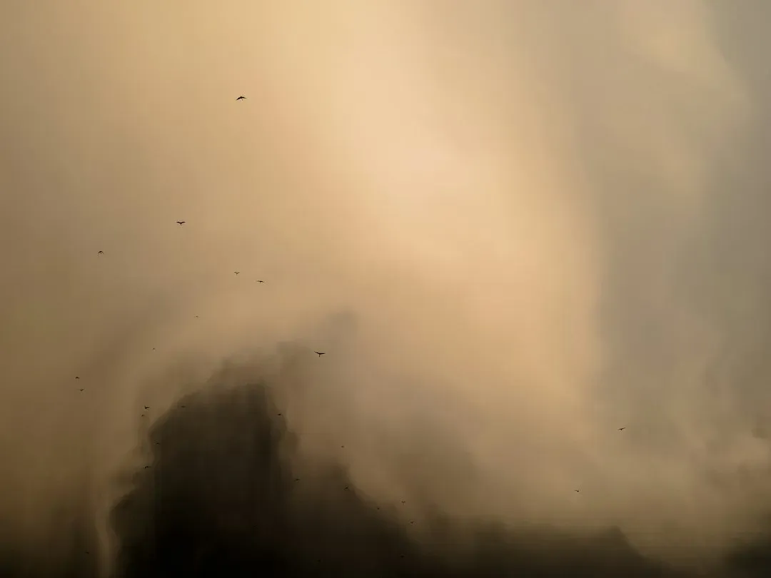
Wind does not stop with sand; it also picks up silt and clay – much finer particles that can travel far beyond the horizon. On dry plains or disturbed farmland, strong winds can raise dust storms and long, streaming plumes visible for many miles. Those plumes are literally three-dimensional tracks of where the wind is going and how much loose material is available to feed it.
Over long timescales, this airborne dust settles to form thick deposits called loess on downwind landscapes. Some of the world’s most fertile regions, including parts of central Europe and northern China, sit on loess plains created by repeated dust storms over thousands of years. The very soil that feeds crops is, in a sense, wind’s long-term archive of erosion elsewhere.
In modern times, satellites regularly track dust plumes crossing oceans and continents, linking events in one place to conditions in another. A dry, overgrazed field in one region can send its topsoil hundreds or even thousands of kilometers away. That means a single windy season can quietly reorder where nutrients, minerals, and even pollutants end up on the planet.
#5 Snow Cornices, Sastrugi, and Frozen Ridges
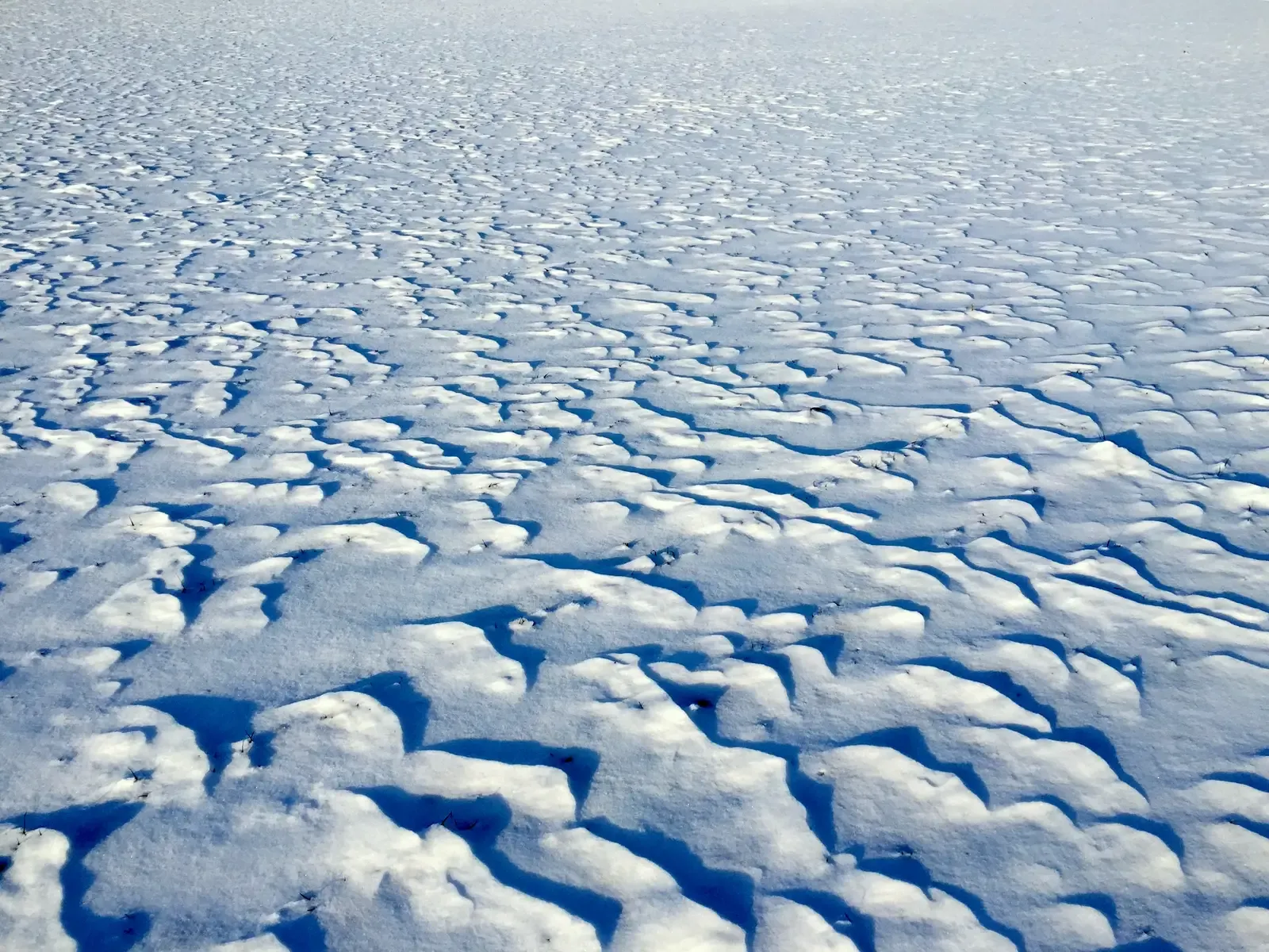
In snowy, open landscapes, wind leaves a completely different style of handwriting. Rather than ripples in sand, you get sastrugi: sharp, sculpted ridges and grooves carved into the snowpack. These forms appear where wind erodes snow from some areas and deposits it in others, leaving behind a surface that can look strangely like frozen waves or chiseled rock.
Cornices – those dangerous, overhanging ledges of snow on ridgelines – are another clear record. They always grow out from the side opposite the prevailing wind, which blows snow over the crest and stacks it on the leeward edge. Mountain guides and avalanche forecasters read these shapes to judge wind patterns from recent storms and to assess which slopes might be unstable.
Because snow is so mobile and sensitive, its surface can record subtle changes in wind direction. After a multi-day storm, you might see older sastrugi partly erased and new ones overprinted at a different angle. It is like a palimpsest where each cycle of wind and snowfall writes over the last, but never entirely erases it.
- Sastrugi shape and orientation show recent dominant winds.
- Cornices grow on the leeward side of ridges, pointing away from the wind.
- Layered snow forms preserve a history of multiple storm and wind events.
#6 Erosion Scars on Soil, Rock, and Farm Fields
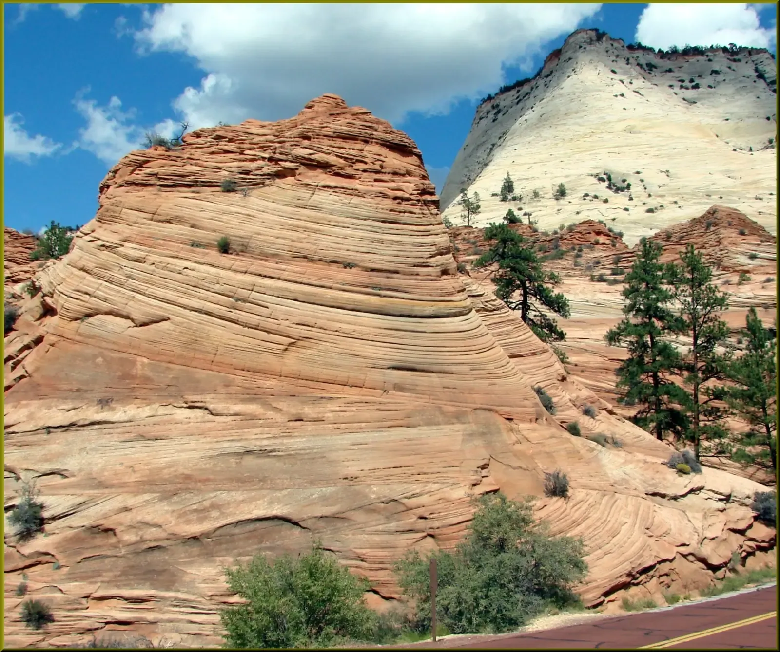
Wind is not gentle everywhere. On bare or lightly vegetated ground, it can become a relentless sculptor, abrading surfaces and stripping away fine particles. Over time, this creates deflation hollows – shallow depressions where soil has been removed – and leaves behind coarser lag deposits of pebbles and stones that the wind cannot easily move. Those gravelly, armored surfaces are like scars from repeated high winds.
In some regions, you also see yardangs: elongated ridges of rock shaped by wind-blown sand acting almost like a sandblaster. These forms are aligned with the prevailing wind, stretched out in the direction of airflow, showing which way the abrasive “sand wind” has been blowing for thousands of years. On satellite views of deserts, yardang fields look like fleets of stone ships all sailing the same way.
On farmland, wind erosion leaves subtler but still telling signatures. You might spot thin strips of exposed subsoil, small troughs forming between rows, or fences collecting drifts of fine dust on the downwind side. Agronomists use these patterns to identify the worst erosion hotspots and to redesign shelterbelts, crop rotations, or ground cover to keep the soil where it belongs.
#7 Leaning Fences, Poles, and Everyday Structures
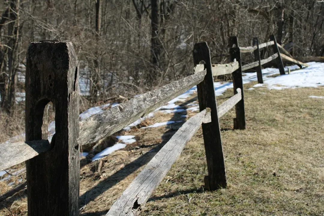
Not all wind records are natural. Human-made objects can be surprisingly honest storytellers about long-term wind stress. Old wooden fence posts, for example, often lean slightly away from the dominant wind. The repeated pressure, tiny tilts, and soil loosening on one side slowly nudge them over, especially in soft or saturated ground.
Power lines and telephone poles can show similar clues, particularly in consistently windy belts. You might see insulators and connectors worn more on the windward side, or guy wires and anchors stretched and angled a bit more than planned. Even simple garden sheds on a prairie sometimes end up subtly twisted or bowed after years of being hammered on one side.
Urban and rural planners pay attention to these physical hints. When they see a line of infrastructure all leaning the same way, it is a warning: the local wind climate is doing more structural work than the original design allowed for. In open landscapes without many tall natural markers, these everyday objects double as long-running wind experiments.
- Fence and pole lean can indicate decades of prevailing wind direction.
- Uneven weathering on structures reveals the most wind-exposed sides.
- Subtle shifts in built objects help engineers refine local wind design standards.
#8 Soundscapes: The Way Wind Plays the Land
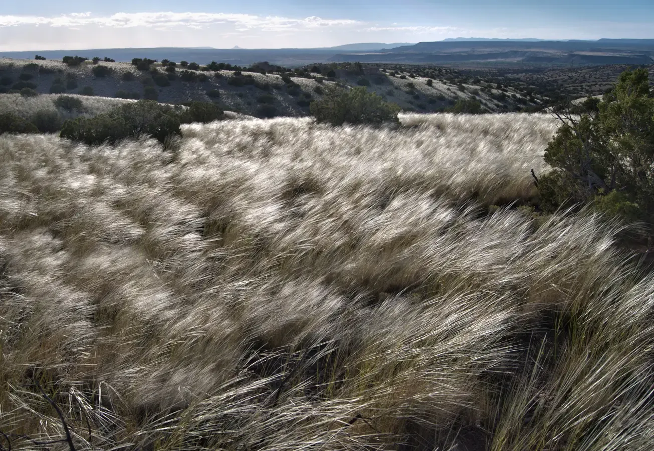
Even when you close your eyes, wind leaves fingerprints – in sound. On open landscapes, the pitch and texture of wind noise change based on what it moves through and how strong it is. A light breeze in tall grass produces a soft hiss, while stronger gusts can make a roar that rolls across a plain long before any dust or clouds arrive.
Different materials “speak” differently when the wind plays them. Power lines can hum or whistle at particular speeds as the air vibrates them. Sparse trees may generate low moans or rattles in dry leaves. In wide, treeless areas, you can sometimes hear wind’s approach as a moving wall of sound, starting as a distant hush and building into a full-body experience as it passes over.
These soundscapes are not random; they are structured responses to airflow. Acousticians and environmental scientists sometimes use arrays of microphones to record how wind noise travels, helping them understand local turbulence, gust patterns, and even how animals might experience a windy environment. To wildlife that rely on hearing, wind is both a background noise and a shifting acoustic curtain that can mask or reveal other sounds.
#9 Micro-topography: Ripple Marks in Grass, Soil, and Gravel
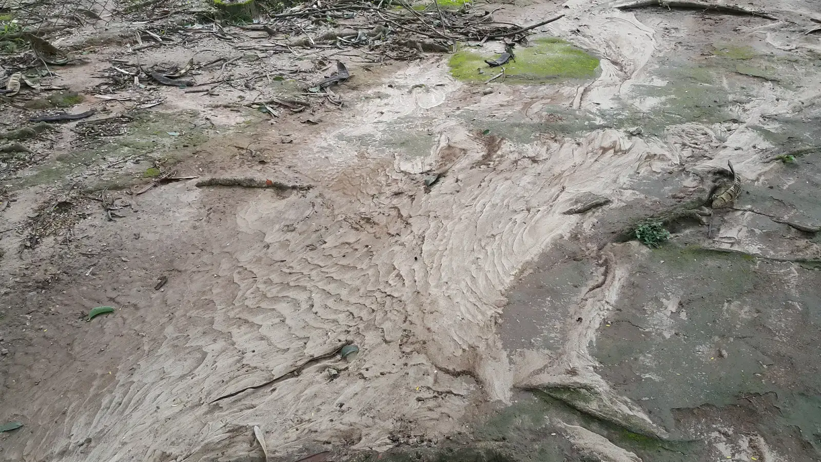
Look closer at a windy plain, and you will start to see tiny patterns underfoot that most people miss. Grassy soils, for instance, can develop minute ridges and troughs where wind has combed away lighter particles and packed others more firmly. In semi-arid regions, you might find low gravelly stripes aligned with the wind – a kind of miniature version of desert pavements and dunes.
These micro-features form because wind rarely acts uniformly. It accelerates over small bumps, slows in minute hollows, and interacts with vegetation tufts, creating a patchwork of erosion and deposition. Over time, that patchwork becomes stable enough that you can read the dominant flow direction from it, even if the landscape looks flat at a glance.
For ecologists and soil scientists, micro-topography is a hidden goldmine of information. It tells them how water will flow during the next rainstorm, where seeds are likely to collect, and which surfaces are most vulnerable to future erosion. Wind, in other words, is quietly pre-designing how the next generation of plants and soil processes will unfold.
- Wind creates tiny ridges and grooves in soil, gravel, and vegetation mats.
- Micro-topography affects how water, seeds, and organic matter move later on.
- These small-scale structures often align with long-term wind directions.
#10 Vegetation Patterns: Streaks, Bands, and Gaps
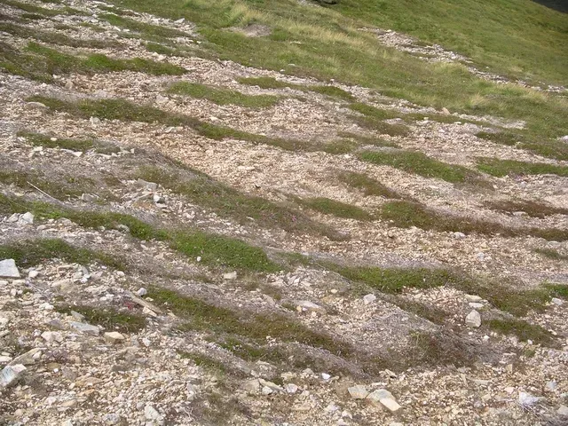
On some open landscapes, wind works not only on landforms but on the pattern of life itself. In semi-arid and dryland ecosystems, you sometimes see banded vegetation – alternating stripes of dense plants and nearly bare soil. These stripes often run roughly perpendicular to the main wind and slope direction, forming a repeating pattern that seems almost artificial from the air.
Wind plays a role in maintaining these bands by moving seeds, soil moisture, and litter. Vegetated stripes slow the wind, causing it to drop some of the material it carries, which helps the plants and soil hold on. Bare gaps, on the other hand, allow wind to accelerate and erode, keeping them more open. The result is a self-organizing system where wind both shapes and is shaped by the layout of vegetation.
Even in more humid climates, wind can create recognizable plant patterns. Shrubs and small trees might cluster behind larger obstacles, forming wind shadows. On coasts, salt-laden winds prune vegetation on the seaward side, leaving a sharper edge or a “salt line” where only the toughest species survive. These living patterns act like contour lines of stress, showing where the air is consistently too harsh for some plants to persist.
#11 Wind Energy Structures and Turbine Fields

Modern wind farms are, in a sense, giant markers of where the wind is strong and reliable enough to be worth harvesting. Their very presence on a landscape records decades of meteorological data and modeling. No one builds a large turbine field on a whim; they site it where measurements show frequent, steady winds and relatively low turbulence at hub height.
The layout of turbines themselves also says something about how wind behaves there. Spacing, alignment, and even the slight offset of rows show planners’ attempts to minimize wake effects, those spinning trails of disturbed air behind each rotor. Where wind often comes from one main direction, turbines may be lined up in long “streets” that face it head-on, making the most of each gust.
Over time, turbine wear patterns, maintenance records, and performance data become a rich archive of how the local wind climate is changing. If output slowly climbs or drops, or if certain turbines show more fatigue in particular components, engineers can infer subtle shifts in gustiness and direction. So while wind farms are built to capture energy, they also accidentally capture a detailed history of the invisible force they depend on.
- Wind farm locations mark regions of consistently strong winds.
- Turbine layout reflects prevailing directions and turbulence patterns.
- Long-term performance data quietly chronicles changing wind regimes.
#12 Waves and Surface Textures on Water Bodies
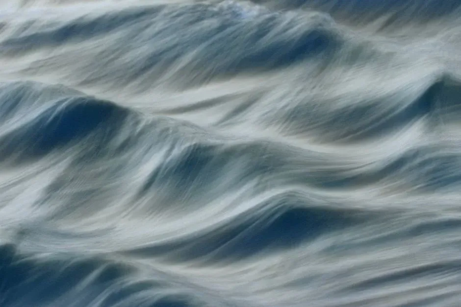
Standing on the shore of a lake, you can often tell more about the wind by looking at the water than by feeling the air. When the wind picks up, ripples appear almost instantly, growing into small waves whose length, spacing, and direction trace the wind’s strength and path. On big open waters, long fetches – uninterrupted stretches the wind can blow across – allow swells to build and march toward you even if the air feels calm on land.
These surface patterns are not just pretty; they carry physical information. Short, choppy waves suggest gusty or rapidly changing winds, while longer, more regular swells point to steadier conditions. On ponds and reservoirs, glassy patches amid rougher water can indicate zones of shelter where wind is blocked, or areas where different wind flows meet and cancel each other out.
Oceanographers and hydrologists routinely use wave records and buoy data to infer wind conditions offshore, especially where direct weather stations are sparse. In that way, every small wave train on an open body of water is a coded note sent from the atmosphere, revealing what the air was doing over the last few minutes or hours across many kilometers of surface.
#13 Chemical and Biological Traces Carried Downwind

The most subtle way wind records itself in open landscapes may not be visible at all. Air currents constantly transport pollen, spores, salt, smoke, and chemical compounds, leaving downwind traces that scientists can detect in soils, tree rings, snow layers, and even ice cores. These particles and molecules are like time-stamped postcards from one place delivered to another by the wind.
For instance, a bloom of desert wildflowers will send clouds of pollen into the air, some of which settles far away on a lake surface or high mountain snowfield. Years later, a thin pollen-rich layer in the mud or ice can tell researchers not only what kinds of plants were upwind but also how winds must have carried that material. Similarly, salt and dust in inland snowpacks point to past storm tracks and wind directions from coastal or arid regions.
Even modern air quality and climate studies rely heavily on this principle. Networks of sensors detect how smoke from large fires, industrial emissions, or sea spray moves across continents and oceans. By modeling these patterns, scientists reconstruct the invisible highways of wind that connect otherwise distant landscapes. It is an indirect record, but a powerful one: a chemical fingerprint of air in motion.
- Pollen, dust, and salt layers reveal where winds have come from.
- Traces in soils, snow, and sediments create long-term wind archives.
- Airborne pollutants and aerosols map out today’s global wind pathways.
Conclusion: Reading the Land Like a Wind Diary
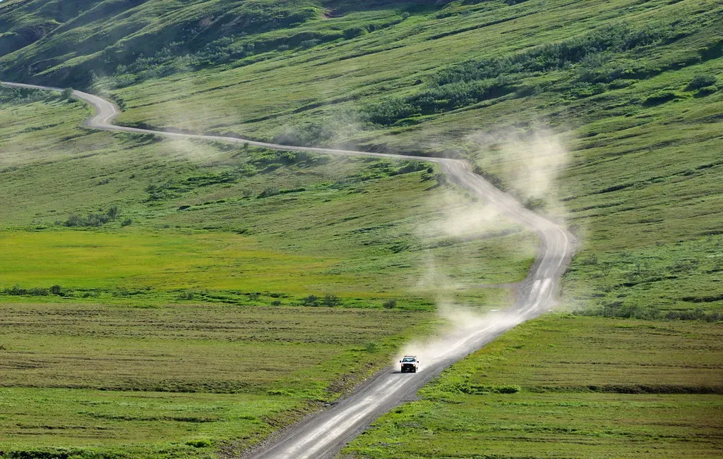
Once you start looking for it, you realize wind has been writing in the open for as long as there have been landscapes to write on. Bent trees, marching dunes, sculpted snow, humming wires, banded vegetation – they are all chapters in a diary the atmosphere keeps without meaning to. The astonishing part is how much we can learn from these clues about past storms, prevailing directions, and even broad climate patterns, just by paying closer attention.
Personally, I find it a little humbling. We like to think of wind as this random nuisance that messes up your hair and overturns patio chairs, but in truth it is one of the main architects of the world we walk through. It quietly decides where soil stays or goes, where plants can thrive, how water surfaces behave, and even where we put our turbines and farms. Ignoring those records is like ignoring the margins of a book where the most revealing notes are scribbled.
If anything, the open landscape is an ongoing negotiation between solid ground and moving air. As climates shift and wind patterns follow, those living and geological records will keep updating themselves, sometimes subtly, sometimes violently. The real question is whether we choose to read them – to notice when dunes march faster, when trees lean a little farther, when dust travels to places it never did before. Next time you stand in an empty field and feel the wind on your face, will you still think it leaves nothing behind?