
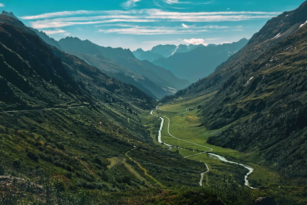
Stand in the middle of a quiet valley and it can feel timeless, almost frozen. But that calm bowl of land is actually a crime scene, and water is the prime suspect. Every curve, ledge, and ripple in the rock is evidence from a long, slow investigation that has been running for thousands, sometimes millions of years.
Geologists are basically detectives reading that evidence. Valleys do not just happen; they are carved, scraped, flooded, filled, and reworked, mostly by moving water in all its moods: gentle trickles, raging floods, grinding ice, and underground seepage. And the best part? The clues are still there, right under our feet, once you know how to see them.
In this article, we are going to walk through twelve powerful ways a valley silently records the water that shaped it. Some of these records are bold and obvious, like sheer cliffs or braided riverbeds. Others are subtle – tiny layers of silt or faint terraces on a hillside that you might drive past a thousand times without noticing. By the end, you will never look at a valley the same way again.
#1 The Overall Shape: V‑Shaped vs U‑Shaped Stories
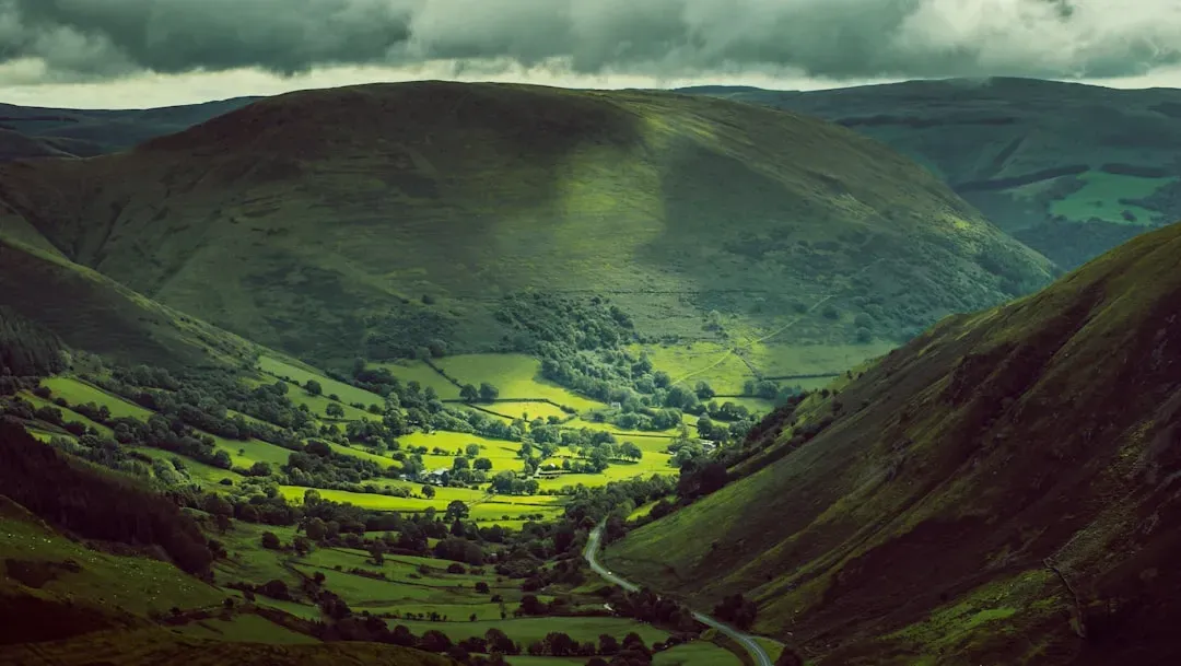
The first, loudest record of water in a valley is its basic shape. A classic river valley is narrow and V‑shaped, with steep sides dropping into a channel that looks like it has been sliced with a knife. That V is not random: it is what you get when running water cuts downward faster than the surrounding slopes can crumble, like a saw blade working a groove into wood.
In contrast, a U‑shaped valley with a wide, flat floor and tall, steep walls usually screams “glacier,” not liquid water. But even then, meltwater streams continue reshaping the U‑shaped trough after the ice retreats, cutting fresh channels and building floodplains inside that bigger, older form. So the valley’s outline often records both: the blunt, heavy carving of ice and the precision detailing of rivers that came later.
When I first learned this, it ruined road trips in the best way. Driving through mountain passes, I could not stop mentally tracing the V’s and U’s on the skyline, imagining rivers sawing down over ages, then glaciers bulldozing the same rock, then streams returning to clean up the leftovers. It is like seeing two completely different artists layered on the same canvas.
#2 Meanders and Oxbow Lakes: The River’s Old Signatures
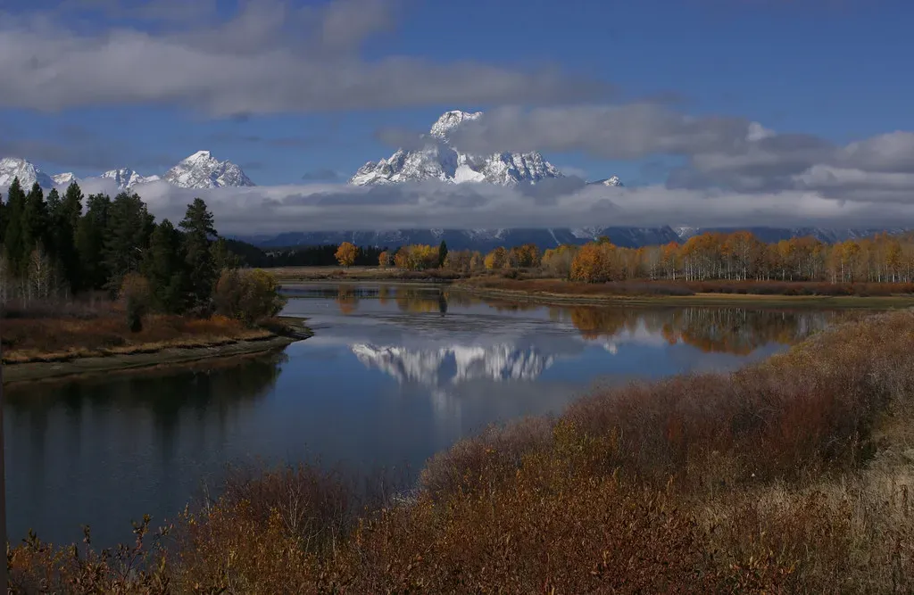
One of the most elegant ways a valley records water is in the lazy curves of a meandering river. Those wide S‑shaped bends are not random; they form as flowing water swings side to side, eroding the outer banks where the current is stronger and dropping sediment on the inner banks where it slows. Over time, this sideways motion can be as important as the downward cutting.
Eventually, a meander can curl so tightly that the river cuts through the narrow neck during a flood, abandoning the old loop. That stranded curve becomes an oxbow lake – often crescent‑shaped, sometimes marshy, occasionally fully filled with sediment. Even after it dries up, the outline can still be traced on satellite images or in aerial photos, like the ghost of a former river path left stamped into the valley floor.
Look closely at a wide valley floor and you may see multiple generations of these old bends: faint arcs, half‑filled ponds, oddly curved patches of trees or crops following buried moisture. They are like previous signatures on a contract that has been rewritten again and again as the river negotiates its path through the valley.
- Modern channel: the active, flowing river you see today.
- Abandoned loops: oxbow lakes and marshy crescent ponds.
- Buried traces: subtle arcs in vegetation or soil moisture patterns.
#3 Terraces: Step‑Like Memories of Higher Rivers
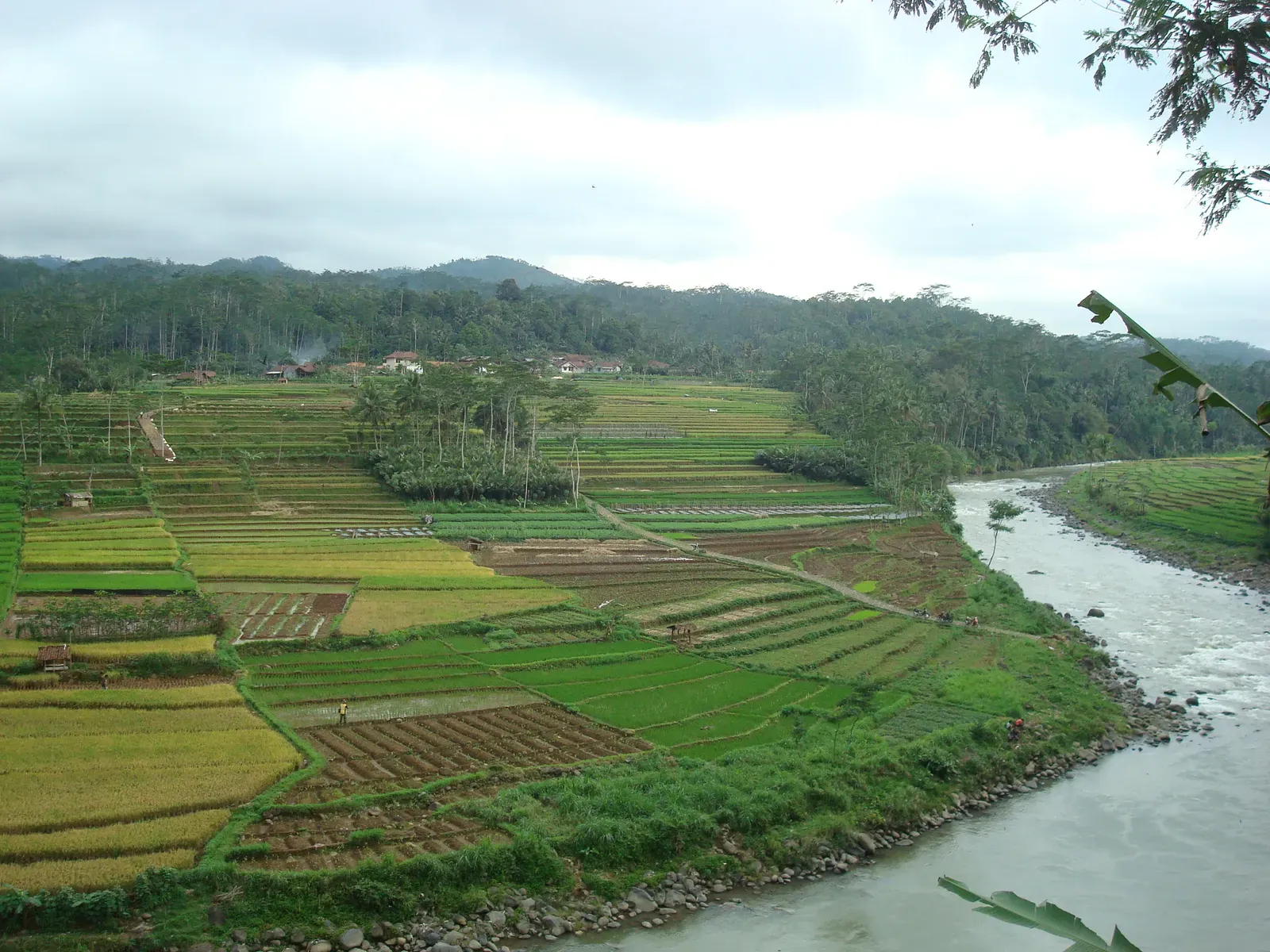
Valley sides that look like giant staircases are one of the clearest long‑term records of how water levels have changed. These steps, called river terraces, form when a river once flowed at a higher level, building a floodplain. Later, as climate, sea level, or uplift changed, the river cut down to a lower level, leaving that former floodplain stranded as a flat bench above the current channel.
Each terrace is basically an old valley floor, frozen in time. Stack several of them and you get a timeline: the highest, oldest level when the river once ran full and high; lower, younger levels as it kept carving down. Often, these terraces come with buried soils, old plant remains, or even human artifacts, giving extra context about when the water sat there and what the environment was like.
When you walk across a terrace, it feels unremarkably flat, like a natural platform perfect for farms or houses. But step back and you realize you are literally standing in a fossil river position – an abandoned ledge that tells you the valley has seen very different water heights in the past, from huge glacial melt floods to quieter, more stable periods.
- High terraces: older river levels, often linked to colder or wetter climates.
- Low terraces: more recent adjustments as rivers cut down or recover from floods.
- Human clues: sometimes old settlements sit right on these safe, flat benches.
#4 Cross‑Bedded Sandstones: Frozen Ripples in Stone
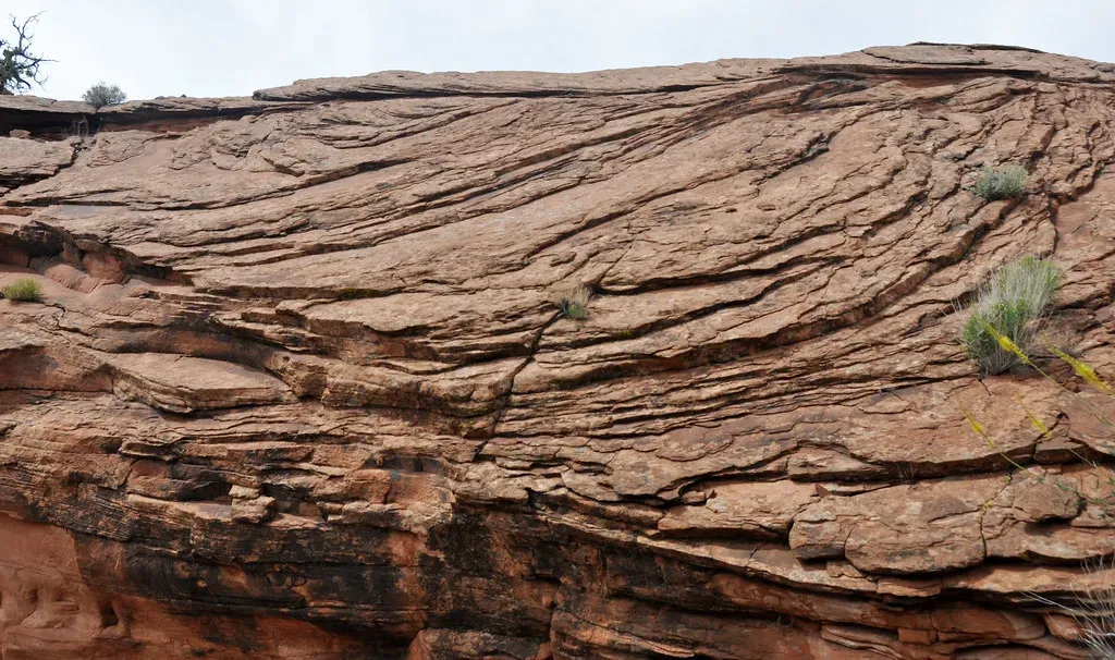
If you slice into a valley wall, especially in canyon country, you sometimes see angled layers stacked in delicate patterns, like overlapping pages tipped at different slants. These are cross‑beds, and they record ancient ripples and dunes created by flowing water. Each slanted layer marks the downstream migration of sand or gravel as currents pushed the grains up a gentle slope and let them tumble down the other side.
Over time, as conditions shifted – water depth, flow speed, sediment supply – these sets of sloping layers built up. When they hardened into sandstone or conglomerate and later got cut through by a younger river or exposed by erosion, they became a geological film reel, preserving not just that water flowed, but how it flowed: steady, surging, shallow, or deep.
Standing in front of a tall cliff full of cross‑bedding, you are basically looking at frozen waves. You can read flow directions from the tilt, estimate energy from the scale, and tell whether this was a river channel, a delta front, or even shallow coastal water. For a valley, it is like having a crystal‑clear memory of the phases when it was more about depositing sediment than carving it away.
#5 Floodplains and Overbank Layers: The Valley’s Flood Diary
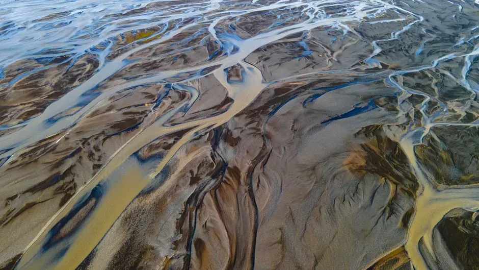
Wide, flat valley bottoms are not just convenient spots to build cities and farms; they are the product of repeated floods. Each time a river spills over its banks, the fast water slows down on the floodplain and drops its finest sediments – silt and clay that settle in thin, widespread sheets. Over decades and centuries, those sheets stack into a quiet archive of high‑water events.
If you dig a deep trench in a floodplain, you often see a layered cake of light and dark bands: lighter sandy layers from bigger, more energetic floods, and darker, organic‑rich layers from calmer times when soils formed, plants grew, and smaller floods brought only fine sediment. Sometimes you even find embedded logs, leaves, or pieces of charcoal from ancient fires washed in by the rising water.
Some key floodplain signals include:
- Thin, repeated silt layers: frequent, moderate floods over long periods.
- Thicker sand sheets: rarer, high‑energy floods or catastrophic events.
- Buried soils and roots: pauses in flooding when the valley stabilized.
Seen this way, a seemingly bland, muddy field becomes an open diary of the valley’s flood history, quietly recording how often the river has pushed past its limits and how intense those episodes have been.
#6 Alluvial Fans and Deltas: Where Sediment Tells Its Side of the Story
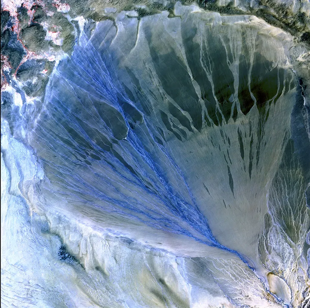
Not all water records are in the main river channel itself. At the mouths of steep side valleys, you often find alluvial fans – cone‑shaped piles of gravel, sand, and mud that spill out where fast mountain streams suddenly hit flatter ground and lose speed. Each storm or flash flood drops another layer, gradually building the fan outward like a slow‑motion splash frozen in place.
Farther downstream, where a river enters a lake or the sea, you get deltas: branching networks of channels dropping sediment as the current decelerates. Both fans and deltas record not just that water flowed, but how much sediment it carried, how flashy the floods were, and how the valley interfaced with larger basins and water bodies. Thick, coarse deposits tell of powerful, debris‑laden flows; finer, layered silts can point to calmer, more regular delivery.
These features also record how the valley and its climate have changed. A fan that suddenly switches from coarse boulders to fine sands might reflect a shift from intense glacial melt floods to gentler rainfall flows. A delta that grows outward and then gets cut back shows changes in river strength, sea level, or even human intervention upstream. It is the valley’s export ledger, documenting everything the water has picked up and dropped off.
#7 Potholes, Plunge Pools, and Scoured Bedrock: Water’s Power Tools
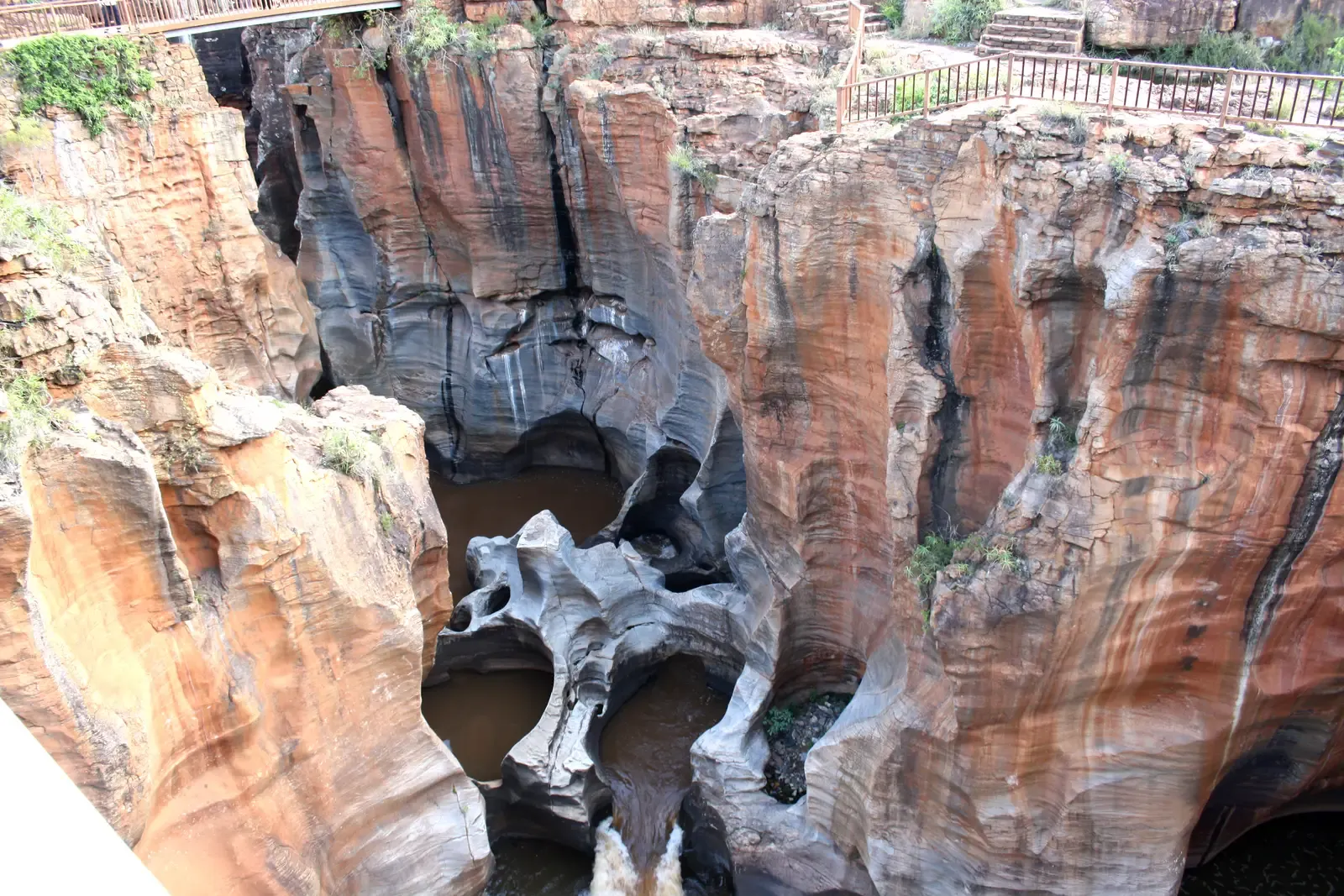
Some of the most dramatic evidence of carving water leaves almost sculptural forms in rock. Potholes – circular, smooth holes drilled into bedrock – form when swirling eddies trap pebbles or cobbles and spin them like a natural drill bit, grinding down over years. You might see them on riverbeds, near rapids, or in now‑dry channels high above the modern stream level, proving that powerful flows once surged there.
Plunge pools at the base of waterfalls tell a similar story. Falling water smashes into the bedrock, churning up sediment that acts like liquid sandpaper. Over time, the pool deepens and the waterfall can retreat upstream, leaving behind a chain of abandoned plunge pools carved into the valley floor. Even after the falls disappear, those oversized basins remain as oversized, out‑of‑place depressions in the channel.
On a larger scale, stretches of scoured bedrock – smooth, striated, sometimes fluted – can record extreme flood events, like glacial outburst floods where enormous volumes of water blasted through the valley in a short time. Where most days the river just shuffles gravel around, these rare events leave the big, unforgettable signatures, like deep chisel marks gouged across the valley’s older features.
#8 Landslides, Colluvial Slopes, and Debris Cones: When Water Breaks the Valley’s Walls
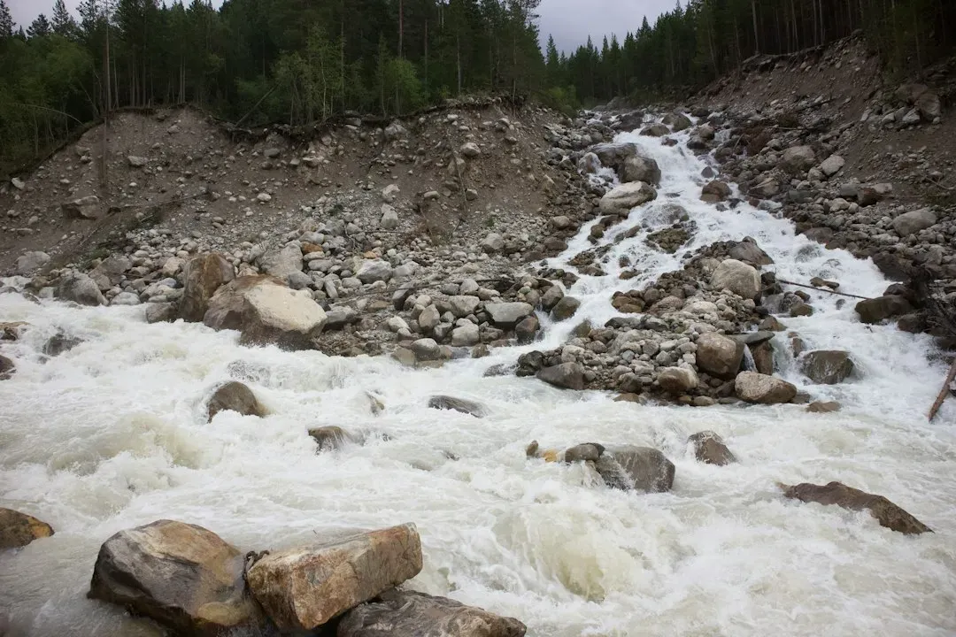
Not all water work looks clean and sculpted; sometimes it looks like a mess. When rainfall or snowmelt soaks into valley walls, it reduces friction between grains, adds weight, and can trigger landslides or slow‑moving slumps. These events dump blocks, boulders, and mixed soil into the valley, forming lumpy, irregular deposits called colluvium at the base of slopes.
In steep valleys, narrow ravines funnel storm runoff and loose material into debris flows – thick, muddy avalanches that behave like flowing concrete. When these flows burst out onto the valley floor, they form debris cones or tongues that can bury existing channels, block rivers, and even create temporary lakes. The resulting deposits, packed with unsorted rubble from fine mud to car‑sized boulders, are a direct record of water’s role as a trigger for mass wasting.
Over time, rivers may cut through or around these piles, incorporating the landslide debris into their own sediment load. So the valley ends up with a layered history: smooth river gravels overlain by chaotic landslide rubble, then capped by newer, more orderly floodplain silts. It is a reminder that water shapes valleys both by precise carving and by pulling the whole wall down in one go.
- Colluvium: loose, slope‑foot piles recording long‑term creep and small slides.
- Debris flows: high‑energy, water‑driven avalanches of mud and rock.
- Blocked channels: natural dams and lakes that later drain and leave flat sediments.
#9 Soil Profiles and Groundwater Marks: The Quiet Work of Hidden Water
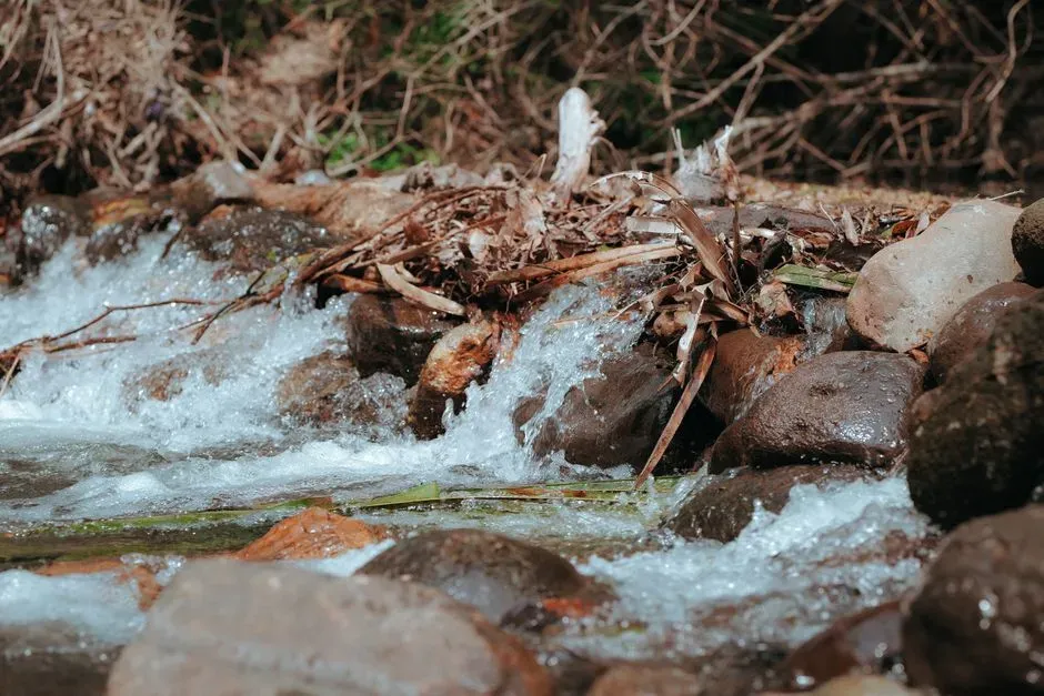
Even when there is no roaring river in sight, a valley still records the water that seeps, soaks, and rises beneath the surface. Dig down through the soil on a valley floor or lower slope and you will often find clear horizons: a darker, organic‑rich top layer; a paler, leached zone where rain has washed out certain minerals; and a deeper, sometimes rusty band where those minerals re‑accumulate. These patterns are the long‑term signature of infiltration and drainage.
Groundwater also leaves very specific traces. Repeated wetting and drying at the water table can create mottled colors in the soil – iron spots, gray streaks from reduced conditions, and hardened layers where minerals like iron or calcium have been re‑deposited. In some valleys, old groundwater levels are preserved as fossil hardpans or cemented horizons, showing where the water table once sat for long periods.
In my own fieldwork, I was surprised how much you can infer from a simple soil pit: you can tell whether a valley floor has been waterlogged for centuries, whether it floods regularly, or whether it has drained more efficiently in recent times. It is like reading a slow‑motion graph of water availability, written not in numbers but in colors, textures, and subtle boundaries between soil layers.
#10 Lakes, Marshes, and Peat: Valleys as Water Hoarders
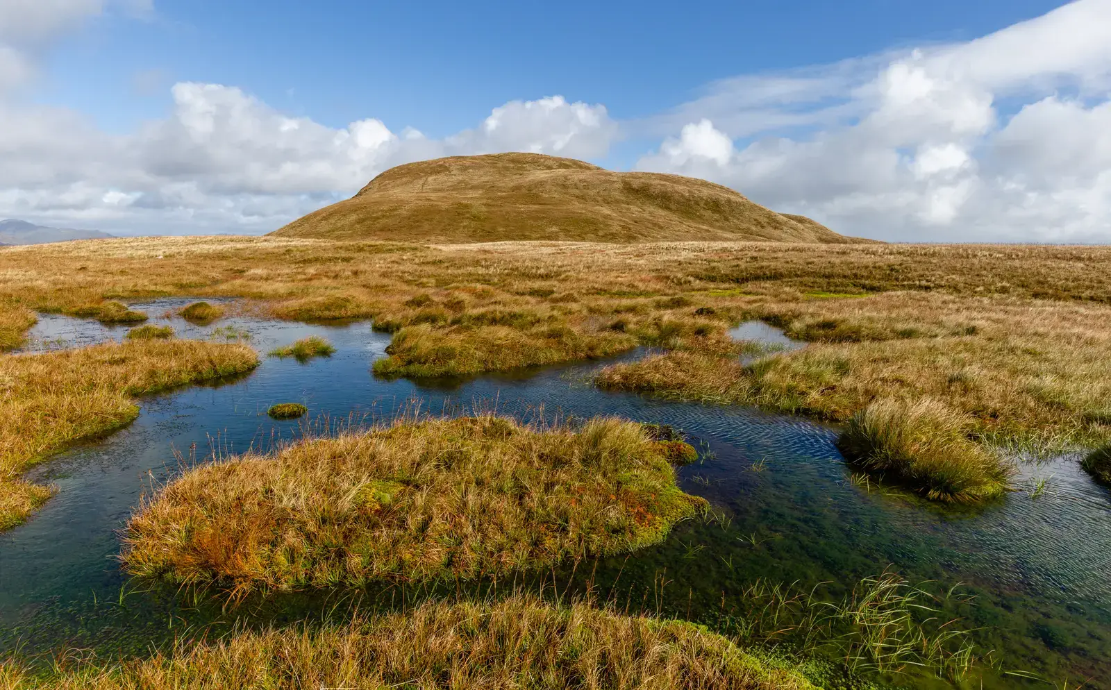
Sometimes valleys do not just carry water through; they hold onto it. Depressions created by glaciers, landslides, or tectonic warping can trap flow and form lakes, marshes, or peat bogs. These quiet water bodies then start a different kind of record‑keeping, far more detailed than most river deposits. Year after year, tiny layers of mud, silt, pollen, and plant remains settle to the bottom, building a stratified logbook of environmental change.
Over thousands of years, marshes and bogs can accumulate thick peat – partially decayed plant material preserved in waterlogged, low‑oxygen conditions. The type of plants present, the rate of accumulation, and even microscopic ash layers from distant volcanic eruptions can all be read from these deposits. Because water slows decomposition, valleys with persistent wetlands preserve a remarkably sensitive record of hydrology and climate.
These lake and marsh sediments help answer questions like: Was the valley wetter or drier in the past? Did the river shift positions frequently? Were there intervals of more intense storm activity? In a way, they are the valley’s memory foam, slowly capturing every little change in what the water brought in – and what it allowed to stick around.
#11 Glacial Overprints and Meltwater Channels: Ice‑Age Edits on the Valley Draft
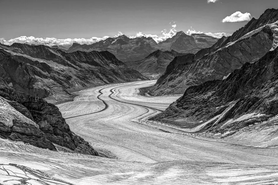
In many mountain and high‑latitude regions, the valley we see today is not the original version but a heavily edited draft that went through an ice‑age rewrite. Glaciers can widen and deepen pre‑existing river valleys, grinding them into broad U‑shapes and scouring the bedrock floor. When the ice melts, it releases enormous amounts of water that rush down as meltwater streams, cutting new channels and redistributing sediment.
These glacial fingerprints linger in several forms. Hanging valleys, where a smaller side valley enters a main valley high above the floor, record where tributary glaciers once joined larger ice rivers. Moraines – ridges of rock rubble pushed and dumped by glaciers – can dam or deflect rivers long after the ice has gone. And long, sinuous ridges of sand and gravel called eskers mark the paths of streams that flowed inside or beneath the glacier, now draped across the valley like abandoned plumbing.
Crucially, glacially carved valleys are then often re‑occupied by rivers that continue the story in their own way, etching new V‑shaped notches into the base of the U. So you get a layered narrative: first ice, then meltwater torrents, then ordinary rivers reworking what the ice left behind. It is like a book where someone has scribbled in thick black marker, then later someone else has come along with a fine‑tipped pen and added their own notes in the margins.
- U‑shaped cross‑sections: broad ice‑carved troughs later inherited by rivers.
- Moraines and eskers: loose rubble and sinuous ridges marking former ice and meltwater paths.
- Hanging valleys and steps: dramatic changes in valley floor level caused by unequal glacial erosion.
#12 Human Modifications: New Chapters in an Ancient Water Story
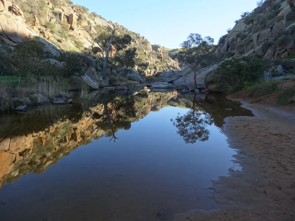
Over the last few centuries – and especially in recent decades – humans have become a major part of how valleys record water. Dams trap sediment that rivers once carried freely, causing reservoirs to slowly fill even as downstream channels become starved and start eroding their beds more aggressively. Levees and floodwalls squeeze rivers into narrower corridors, changing where and how high water spreads during floods.
We also straighten channels, cut artificial canals, drain wetlands, and pave over floodplains. Each of these actions scribbles new patterns onto the valley record: abandoned meanders that get filled with urban fill instead of natural silt, concrete‑lined banks that halt natural erosion, and buried soils sealed under roads and buildings. Future geologists will be able to spot this human overprint instantly – sudden shifts in sediment type, strange materials like plastic fragments, and unnatural angular cuts through natural layers.
At the same time, restoration projects are trying to partially rewind the tape. Breaching levees to reconnect rivers to floodplains, removing obsolete dams, or recreating meandering channels all aim to let water start writing its story again in a more natural way. Whether we succeed or not, there is no question: modern valleys are now co‑authored by water and people, and that collaboration is being etched into the rock and mud in ways that will be obvious millions of years from now.
Conclusion: Reading a Valley Like a Long, Wet Biography
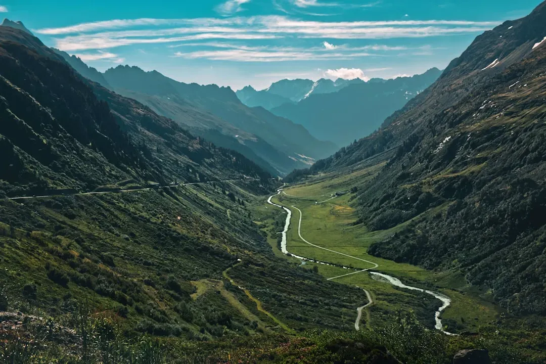
Every valley you have ever driven through, hiked in, or flown over is more than a hollow in the landscape; it is a biography written by water. From the bold outlines of V‑shaped or U‑shaped cross‑sections to the fine print of cross‑beds, floodplain layers, soils, fans, landslides, peat, and human concrete, each feature is a sentence or paragraph in a story that spans far beyond human memory. The trick is not that the record is missing – it is that most of us have never been taught how to read it.
Personally, once I started recognizing terraces as old river floors, oxbow lakes as abandoned meanders, and potholes as drill marks from swirling eddies, even a simple weekend valley view felt electric. It is hard not to feel small when you realize that a gentle bend in the road follows a meander that has been migrating across the valley for thousands of years, or that a quiet, flat field hides layer upon layer of ancient floods. But it is also strangely comforting: the water has been doing this for a very long time, long before we showed up.
In a warming, rapidly changing world, these records matter more than ever. They tell us where floodwaters like to go, where slopes are prone to fail, and how valleys have handled big climate swings in the past. Ignoring that history is like ignoring the medical chart before making a big decision; paying attention can mean building and living in ways that work with water instead of constantly fighting it. The next time you find yourself between two long ridges or along a quiet riverbend, you might ask yourself: if this valley could tell you the story of its water, how much of it would you finally be ready to hear?