
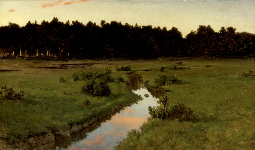
Next time you walk past a muddy roadside ditch, you might be stepping over one of the best history books the landscape has ever written. It does not look like much. A shallow trench, a trickle of water, maybe some trash and a few weeds. But if you know how to read it, a ditch quietly stores decades of stories about the soil, the climate, the pollution, and the way people live and farm nearby.
Scientists, engineers, and even forensic ecologists increasingly treat ditches as living archives. In the mud, plants, insects, and flow patterns, a ditch records how land has been used and abused, where water comes from, and where it is going. I remember the first time I watched a field hydrologist scoop a handful of ditch sludge into a jar and say, half-joking, that it was “the neighborhood’s diary.” After spending a day in the rain watching how quickly that ditch filled, I realized she was not exaggerating.
This might sound dramatic for a strip of murky water by the road, but stay with me. Once you start noticing the clues, a ditch becomes less of an ugly necessity and more of a surprisingly honest witness. Here are eleven things a ditch quietly , whether we pay attention or not.
#1 A Ditch Records How Water Really Moves Through the Landscape
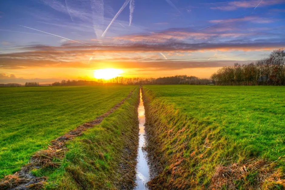
Most maps show rivers and lakes, but ditches capture something more intimate: where water actually tries to go when it rains. Watch a ditch during a storm and you will often see that it fills and flows long before nearby streams respond. That timing says a lot about how fast water is leaving roofs, streets, and fields. A ditch that surges in minutes after a downpour is telling you that the land around it is slick and sealed, pushing water off instead of letting it soak in.
Over months and years, the shape of the ditch itself changes based on that movement. Steep, sharply cut banks and exposed roots show that water frequently rushes through with enough force to erode soil. A wide, gently sloping, muddy-bottomed ditch suggests slower, more evenly spread flow. You can almost think of it like the grooves worn in a wooden staircase: the deeper and sharper the wear, the more intense and focused the traffic.
Hydrologists read these clues to understand how a basin is behaving without installing fancy instruments on every slope. In a way, the ditch is performing the experiment for them. If flow lines are braided, if sand bars show up in certain corners, if debris collects against culverts, the ditch is mapping out miniature flood paths that mirror the bigger system.
- Fast-filling, flashy ditches often mean lots of pavement or compacted soil nearby.
- Deep, narrow channels usually point to powerful, erosive storms and poor vegetation cover.
- Wide, grassy ditches suggest slower, more controlled runoff with better soil absorption.
#2 A Ditch Records the Shape and Slope of the Land
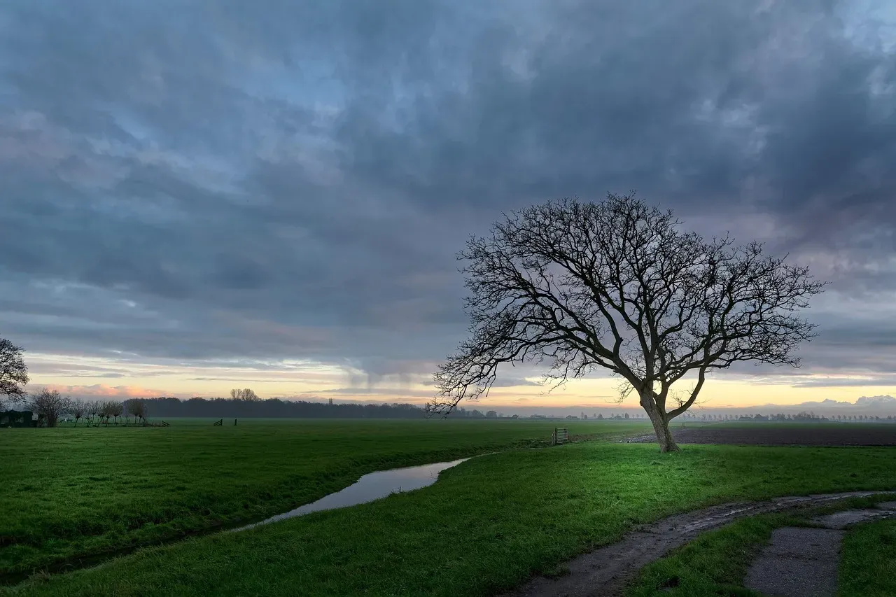
Even without a topographic map, you can infer the lie of the land by tracing where ditches appear and how they connect. They almost always follow the path of least resistance downhill, collecting trickles from subtle depressions that might not even be visible to the eye. If several ditches converge on one low spot, that tells you this is a natural drainage hub, whether or not a stream is drawn there on any official map.
The direction and angle of a ditch’s bottom line also reveal the slope around it. A sharply angled ditch with clear steps or small drops signals steeper terrain, while a nearly level ditch that hardly flows until heavy rain suggests a flatter area. You do not need surveying tools to sense this; you can see it in how water pools, how sediment settles, and where algae carpets the bottom.
Over time, if a ditch keeps cutting deeper, it can actually change the shape of the surrounding land. This process, called incision, pulls water from nearby soil, lowering the local water table. You might see trees along the banks struggling or toppling because their roots have lost access to consistent moisture. That visible line of stressed vegetation marks a subtle but real reshaping of the landscape that the ditch itself has engineered.
#3 A Ditch Records What the Soil Is Made Of and How It Is Changing
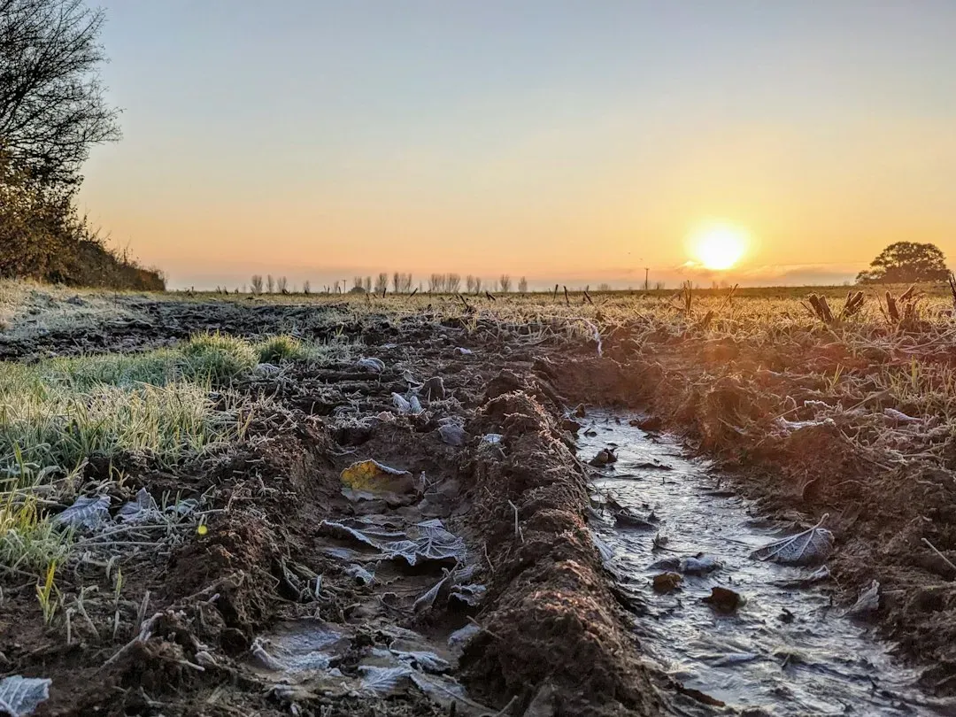
Scoop a handful of sediment from the bottom of a ditch and you are basically holding a blended sample of the nearby soils. If the mud feels fine and silky, the upstream land likely has a lot of silt and clay, such as what you would find in intensively farmed fields. If it is gritty, with coarse sand or tiny gravel, that points to more erodible sandy soils or construction sites where subsoil has been exposed.
The color of that sediment also tells a story. Pale, light-colored material often comes from deeper subsoil that has been disturbed, maybe by aggressive plowing, grading, or excavation. Darker, organic-rich material suggests topsoil, leaf litter, and decomposed plant matter washing in during storms. When you see thick layers of pale subsoil on top of what used to be darker ditch mud, it is a clue that the land has recently been disturbed more deeply than before.
Soil chunks in the ditch can even hint at compaction issues. Big, hard clods that do not break apart easily usually come from fields or yards that have been overworked or driven over frequently. Loose, crumbly aggregates hint at healthier structure and more organic matter. It is like the ditch is catching whatever the land is shedding, giving anyone who cares to look a free soil diagnostic.
- Fine, silky sediments often track back to cropland or exposed subsoil.
- Dark, rich layers reflect organic topsoil and leaf litter loss.
- Hard clods can be a warning sign of soil compaction uphill.
#4 A Ditch Records Fertilizers and Farm Chemicals Leaving the Fields
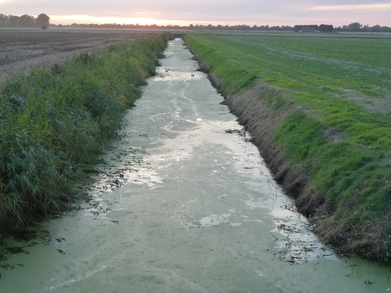
One of the harshest truths a ditch records is how much fertilizer and pesticide actually leaves fields instead of staying where it is meant to work. After heavy rains, the water in agricultural ditches often carries dissolved nutrients like nitrogen and phosphorus, plus traces of herbicides and insecticides. Even when you cannot see or smell them, these chemicals can be measured and traced back to timing of application and crop type.
Some signs are visible. Thick green mats of algae or bright green water in a ditch near farmland usually mean nutrients, especially phosphorus, are flowing off the land in significant amounts. These nutrients might come from chemical fertilizers, manure, or even heavy application of lawn products on nearby properties. The ditch becomes a preview of what will end up in downstream lakes and rivers, where the same nutrients can feed algal blooms and choke aquatic life.
The sediment collected in ditch bottoms also acts like a chemical scrapbook. Over seasons, it stores repeated deposits of nutrient-rich soil and any attached pesticide residues. Researchers can take core samples from ditches and see layers that correspond to particular farming practices, crop rotations, or years when a certain chemical was heavily used. It is an uncomfortable record, but a valuable one, because it shows the real footprint of land management choices.
#5 A Ditch Records Urban Pollution and Everyday Human Habits
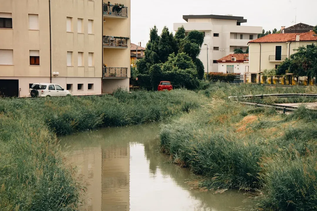
In towns and suburbs, ditches become confessionals for our daily routines. Oil drips from cars, road salt in winter, paint flakes, cigarette butts, plastic fragments, and even microfibers from laundry can all end up washed into roadside ditches. You can often tell what kind of neighborhood you are in by the mix of litter and residue. Near shopping areas, you might see more packaging, cups, and wrappers; near industrial zones, more strange residues and construction debris.
The oily sheen that sometimes floats on ditch water after rain is not always dramatic, but it signals petroleum-based leaks from vehicles, machinery, or storage. Fine black dust in the sediment tells you about tire wear and brake pads, which slowly grind down and wash into drainage systems. These particles can carry metals like copper or zinc, which then accumulate in the bottom mud. A ditch near a busy road basically records traffic volume without a single car counter installed.
Urban ditches are also where you can see the reality of waste disposal habits. Dumped grass clippings, leaves in plastic bags, and even household trash show up quickly after yard work days or big holidays. When that organic matter decomposes, it can change the oxygen levels and chemistry of the water, affecting insects and microbes. The ditch, in other words, becomes a blunt mirror for how seriously (or not) a community takes stormwater and trash.
- Oily films and black dust reflect vehicle leaks and tire wear.
- Plastic fragments and packaging trace back to everyday consumer habits.
- Piles of yard waste hint at informal dumping and yard care routines.
#6 A Ditch Records Floods, Droughts, and Shifting Climate Patterns
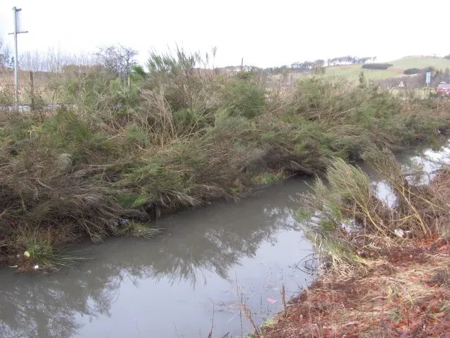
Look closely at a ditch bank and you will often see faint horizontal lines, bands of debris, or changes in vegetation that trace past high-water marks. Twigs and leaves caught in branches higher up are like notches on a door frame showing how tall the water got during big storms. When those marks get higher or more frequent over a series of years, it suggests storms are becoming more intense or runoff is accelerating because of land use change.
On the flip side, prolonged low flows or completely dry ditches can be signs of drought or upstream water diversion. Plants that usually hug damp edges might retreat or disappear, replaced by tough, drought-tolerant grasses and weeds. Cracked mud in the ditch bottom, with deep openings, shows that the soil has been repeatedly dried out beyond its usual cycle.
What makes ditches particularly useful is that they respond quickly to both extremes: too much water and too little. That means they provide some of the earliest visible evidence that seasonal patterns are shifting. For communities worried about climate change, tracking how long and how often ditches hold water, and how violently they flow during storms, can be a low-tech but surprisingly sensitive early-warning system.
#7 A Ditch Records the Local Plant Community and Its Resilience
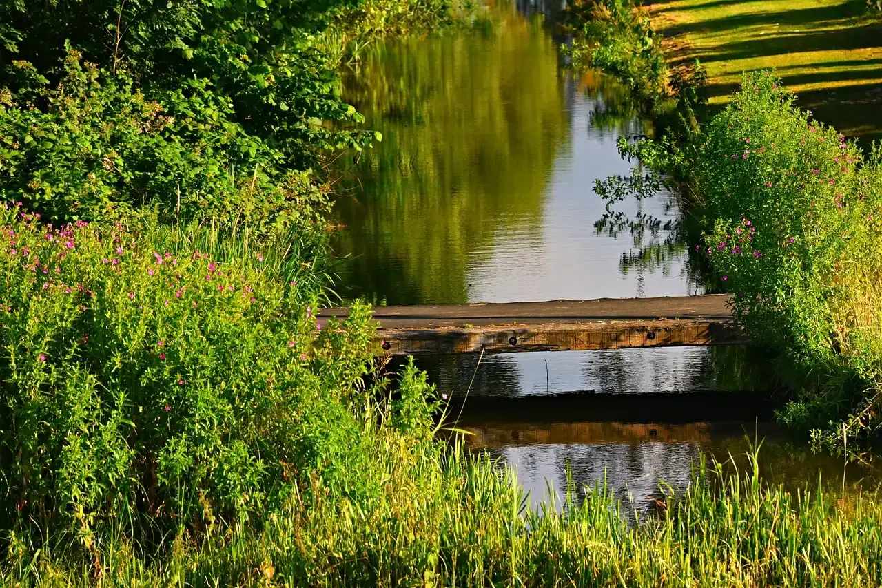
Ditches are like strips of accidental habitat, and the plant mix growing in and around them tells you a lot about the health of the local ecosystem. If you see a rich mix of grasses, sedges, flowering plants, and even shrubs, that usually means the ditch offers at least some stability and nutrients. Diversity in a ditch is not just pretty; it suggests that seeds, pollinators, and soil conditions are all reasonably supportive.
By contrast, if a ditch is dominated by one or two aggressive species, especially well-known invasives, that is a red flag. Species like reed canary grass, certain knotweeds, or dense mats of a single aquatic weed often mean repeated disturbance, high nutrient loads, or both. The ditch then becomes a launchpad for those plants to spread into adjacent fields, wetlands, or backyard gardens, slowly reshaping the local plant community.
Maintenance practices also leave clear signatures. A ditch that is mowed to a uniform height, sprayed frequently, or scraped out with heavy equipment will usually show a simple, stressed plant palette: a few tough grasses, maybe some opportunistic weeds. A ditch allowed to grow a bit wilder, even if trimmed occasionally, tends to develop layered vegetation with tall grasses, low herbs, and scattered shrubs. The plants, simply by being there, are recording the balance between control and ecological freedom on that piece of land.
- High plant diversity hints at relatively stable, supportive conditions.
- Monocultures and known invasives often signal stress and high disturbance.
- Mowing, spraying, and scraping leave a visible pattern in species composition.
#8 A Ditch Records Hidden Wildlife and Food Webs

Stand quietly by a ditch at dusk and you might be surprised by how much life it hosts. Frogs calling, dragonflies patrolling, birds dipping down to drink or hunt insects. The types of animals you notice, and the ones you see traces of, give strong hints about the wider landscape. A ditch that supports amphibians, for instance, suggests at least some stretches of clean, relatively unpolluted water and nearby breeding habitat.
Flip over a few stones or bits of submerged vegetation and you might find aquatic insects, snails, or small crustaceans. These tiny creatures are sensitive to water quality. If you see only a few hardy midges and no mayflies or caddisflies, the ditch may be chronically polluted or low in oxygen. If the community is richer, with a mix of sizes and shapes, that usually points to better conditions upstream and a more balanced food web.
Even the presence of predators tells you something. Snakes hunting along the banks, herons stalking in the shallows, or bats swooping overhead are all signals that the ditch is feeding into larger ecological networks. It is easy to dismiss a ditch as marginal, but for many species, it functions as a corridor or a seasonal refuge. In that sense, the animals using it are leaving their own living signatures, turning the ditch into a running log of who can still survive on that landscape.
#9 A Ditch Records How People Manage (or Mismanage) Water

Concrete linings, metal culverts, riprap stones, plastic pipes, and check dams all show up in ditches as visible evidence of how humans are trying to control water. A perfectly straight, armored ditch tells a different story than a meandering, vegetated one. The straightened version says speed and efficiency are the priorities: get water out of here as quickly as possible. The greener, slower version suggests an attempt to store and filter water, letting some of it soak in instead of racing downstream.
Over time, these design choices leave lasting signatures. Straight, smooth ditches tend to deepen and incise, sometimes undermining nearby roads or structures. Vegetated, gently sloped ditches build up organic material and can trap sediment, gradually raising their bottoms and creating mini floodplains. When you walk along a long stretch of ditch and see alternating stretches of hardened and naturalized sections, you are almost reading a timeline of changing engineering philosophies and budgets.
Maintenance schedules are recorded just as clearly. Freshly scraped banks with raw soil exposed show recent mechanical cleaning, often in response to flooding or complaints about standing water. Short, uniform grass suggests frequent mowing, probably to keep visibility open and reduce perceived mess. Overgrown stretches with woody saplings might indicate neglect, funding gaps, or simply low priority. In all these cases, the ditch bears a visible record of how seriously water management has been taken, and what compromises were chosen.
- Straight, armored ditches emphasize fast drainage over local storage.
- Vegetated, meandering ditches prioritize filtration and infiltration.
- The state of maintenance reflects local priorities and resources.
#10 A Ditch Records Subtle Signs of Erosion and Land Degradation
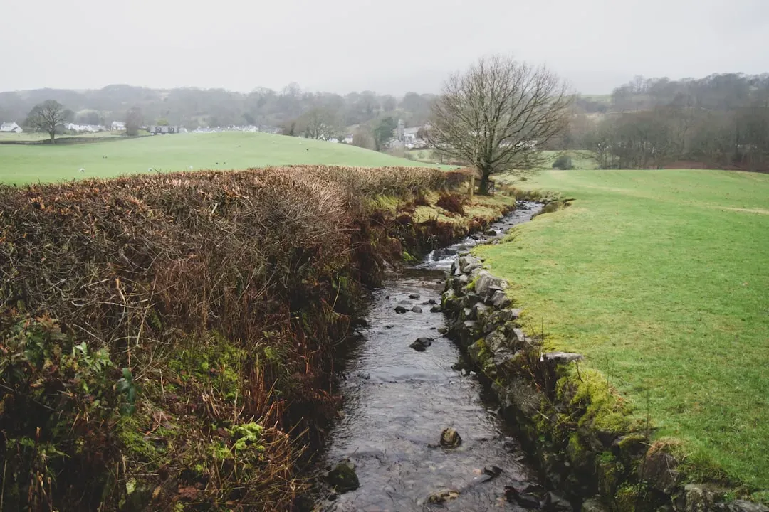
One of the clearest things a ditch records is whether the land around it is quietly falling apart. Where you see undercut banks, slumps of soil, and exposed tree roots hanging into space, erosion is actively eating into the edges. This often starts small, with narrow sections collapsing after heavy storms, but if left unchecked, these bites can grow into full bank failures. The ditch becomes wider and deeper, stealing land from adjoining fields and yards.
At the same time, the sediment that washes off those collapsing banks does not just disappear. It settles further downstream, sometimes choking culverts, reducing ditch capacity, and raising the bed. You might see alternating zones: raw, vertical cuts in one reach and broad, sediment-filled flats in another. Those alternating scars and deposits are physical records of erosion and partial recovery, repeating over seasons.
Beyond the visible, erosion recorded in ditches also reveals upstream missteps: missing ground cover, deforested slopes, poorly timed tillage, or unmanaged construction sites. A ditch clogged with fine, light-colored sediment, for example, is often the downstream voice of a bare hillside during storm season. By “listening” to that voice, land managers can trace problems back to their source rather than just fighting symptoms at the bottom of the system.
#11 A Ditch Records the Past and Future of the Landscape in One Place
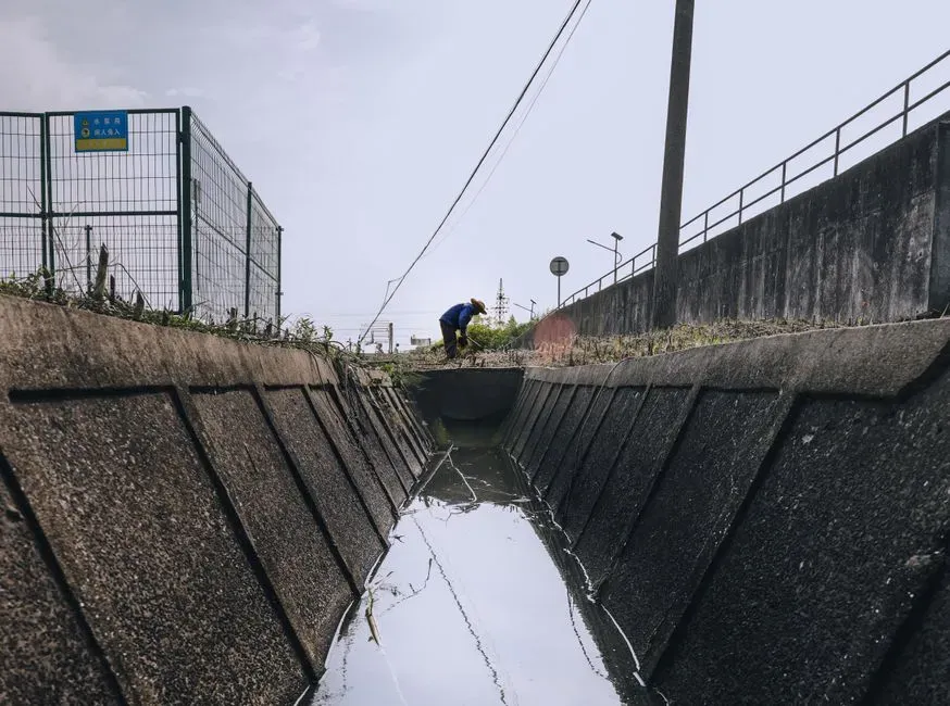
Perhaps the most remarkable thing about a ditch is how it bundles past, present, and future into a single, overlooked strip of ground. The layers of sediment at the bottom quietly record decades of soil loss, pollution spikes, floods, and droughts. The plants and animals living in and around it show what the current conditions allow. The way it is built, lined, or neglected hints at what kind of storms and pressures it will face in the years ahead.
If you compare an old aerial photo with today’s ditch layout, you can often see how fields have been subdivided, roads have been added, or wetlands have been drained. Each new fence, drive, or building usually comes with a tweak to drainage, and the ditch adjusts accordingly. Bent culverts, bypass channels, and patched banks are like edits in an ongoing manuscript, telling you where earlier assumptions about water turned out to be wrong.
At the same time, the ditch is a preview of coming attractions downstream. High nutrient loads hint at future algae blooms in lakes. Increasingly flashy flows hint at more severe urban flooding. A shrinking mix of wildlife hints at cascading losses in nearby wetlands or streams. In that sense, reading a ditch is not just an exercise in curiosity; it is a way of seeing where a landscape is headed if nothing changes.
When I think back to that muddy afternoon watching a field ditch fill during a storm, what stuck with me was how brutally honest it was. It did not care about policies, slogans, or plans. It simply carried whatever the land and people upstream handed to it, then left the evidence smeared along its banks.
Conclusion: A Harsh, Honest Witness We Keep Ignoring
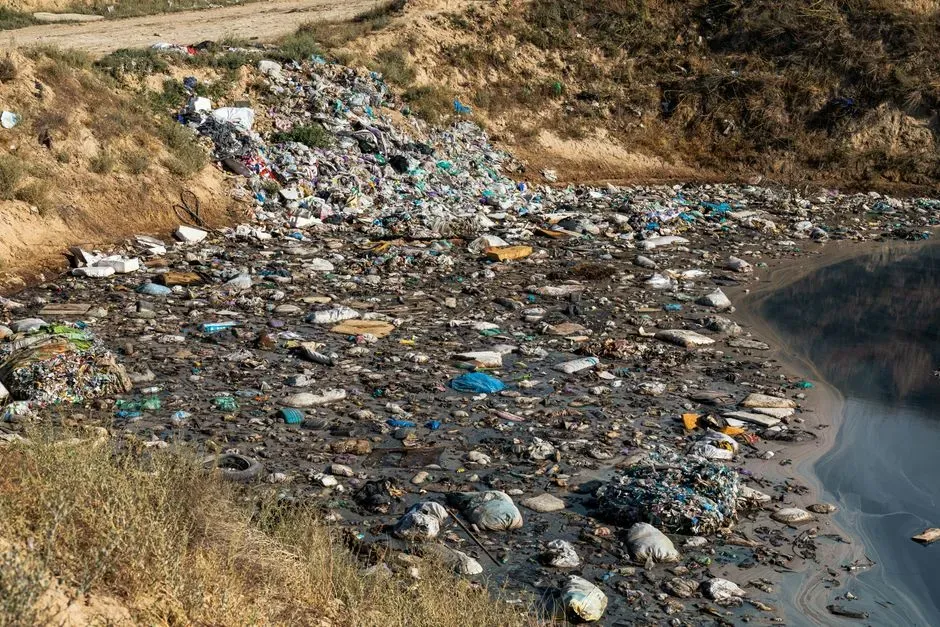
I have come to believe that if you really want to know how well a community is treating its land, you should skip the glossy reports and go look in its ditches. They do not spin or sugarcoat. They show every shortcut: over-fertilized fields, leaking cars, rushed construction, lazy dumping, rushed engineering fixes. They also show every small victory: a patch of native grass hanging on, a chorus of frogs, clear water holding after a storm that used to turn it into chocolate milk.
In my view, the way we design, maintain, and even talk about ditches is still far behind what we know scientifically. We treat them as throwaway infrastructure, when in reality they are some of the most revealing instruments we have for tracking soil health, pollution, habitat, and climate stress. If we started listening to what our ditches are already recording, a lot of arguments about land use would be shorter, and a lot of excuses would fall apart in the face of muddy evidence.
So the next time you walk by one, do not just wrinkle your nose and step around it. Look at the color of the water, the plants on the banks, the trash caught in the grass, the scars in the soil. Ask yourself what that little strip of ground is saying about everything uphill and downstream. You might not like the answer, but once you hear it, it is hard to un-hear. What do you think your local ditch would confess if you bothered to listen?