
Most people assume every strange shape on the ocean floor eventually gets a firm birthdate slapped on it by some university lab. It doesn’t work that way. Stone can’t be carbon-dated, sediment cores get contaminated, and funding for deep-water archaeology is almost nonexistent compared to land digs.
That’s why dozens of genuinely bizarre formations – from stepped “pyramids” to arrow-straight boulder roads – sit in permanent scientific limbo, technically discovered but officially nameless. Nobody with a research budget wants to put a hard number on them, because whichever number they pick will outrage somebody, upend a textbook, or embarrass a government. Here’s what marine geologists, divers, and skeptics actually say about the 13 formations nobody will publicly date – and why the silence itself might be the most interesting part of the story.
#13 – The Elongated Megalith of Eastern Canada
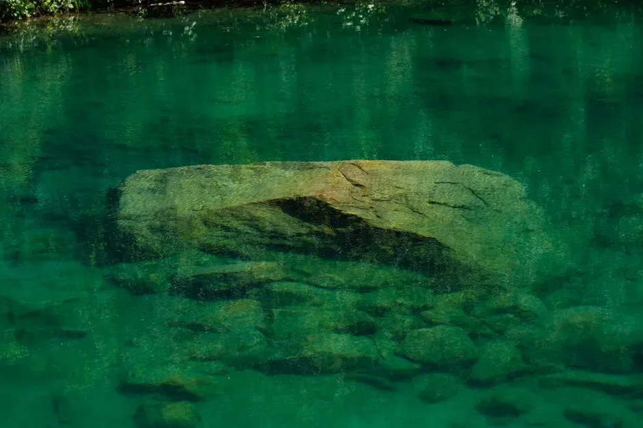
A thousand-pound rock with an almost perfectly straight edge doesn’t just happen to end up alone on the seafloor.
In 2005, divers working a submarine survey project off Eastern Canada found exactly that: a massive, 1,000-pound elongated block resting 40 feet below the surface, its edge running almost dead level for its entire length. No agency has ever issued an official age for the stone, and no follow-up expedition has been funded to settle the question either way.
That silence is the whole story. Without a dedicated team returning to core the surrounding sediment, the rock just sits there – technically unclassified, technically un-aged, and technically ignored while Canadian researchers move on to flashier projects, leaving this stone as one of the most overlooked formations on this entire list.
#12 – The Sicily Channel’s Mystery Monolith
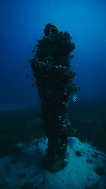
A single carved-looking stone block sitting in over 130 feet of water off Sicily has divided geologists for over a decade.
Discovered near Pantelleria in the Sicilian Channel, the monolith features a strikingly regular shape and what some divers describe as a deliberately drilled hole running through one end. Researchers who first surveyed it floated an estimate tying its submersion to sea-level changes thousands of years ago, but that figure has never been formally confirmed through peer-reviewed dating.
Fast Facts
- Location: Sicilian Channel, near the island of Pantelleria
- Depth: more than 130 feet below the surface
- Notable feature: a hole some divers say runs cleanly through one end
- Official status: no peer-reviewed age has ever been published
Italian marine authorities have been notably quiet on funding a second look. Some geologists argue the block could be a natural volcanic fragment shaped by underwater currents, since the region sits on an active tectonic seam, while others insist the symmetry is too clean for nature alone.
Until someone commits real money to core samples, the monolith stays exactly where it’s been for years – technically mysterious, technically undated, and repeated online without verification.
#11 – Malta’s Sunken Megalithic Remains
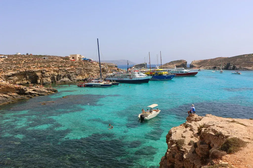
Malta already has some of the oldest confirmed temples on Earth on dry land, so it’s no surprise divers keep finding suspicious shapes just offshore.
Fishermen and recreational divers around the Maltese coast have reported straight-edged blocks and what look like cart-rut patterns continuing directly into the sea, mirroring the famous “cart ruts” carved into Malta’s limestone on land. If those underwater grooves and blocks are connected to the same ancient builders responsible for Malta’s land temples, they would need to predate the last major sea-level rise.
No Maltese heritage body has ever issued an official position on the submerged features’ age, and that refusal to commit is telling. Malta’s temples on land are already among the oldest freestanding stone structures in the world, so confirming an underwater extension would rewrite regional history – instead, the topic stays in the realm of enthusiast forums and amateur dive footage.
#10 – The Azores “Underwater Pyramid”
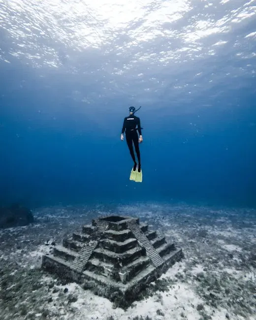
A yacht captain’s sonar screen lit up in 2013 with something that looked suspiciously like a perfect pyramid sitting between two Azorean islands.
The formation reportedly sits at a shallow enough depth that it would have been above water during past ice ages, and its symmetrical, four-sided shape immediately drew comparisons to Egypt and Mexico. Portuguese authorities have never released an official statement confirming or denying the structure’s existence in any detail, and no scientific expedition has published peer-reviewed findings on it.
Skeptics point out that seamounts and underwater volcanic cones naturally form pyramid-like shapes all the time in tectonically active zones like the Azores. Believers counter that the edges look too sharp and the base too square for random volcanic buildup, and without an official survey team willing to stake their reputation on a number, the “pyramid” remains an internet legend more than a scientific finding.
#9 – Dwarka’s Submerged Ruins
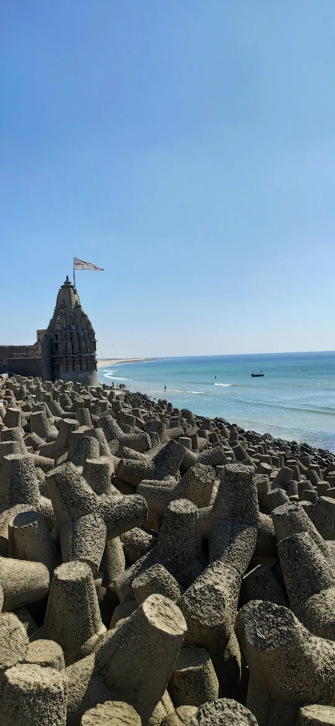
According to Hindu tradition, the city of Dwarka sank into the sea after the death of Lord Krishna – and divers off India’s Gujarat coast have actually found something down there.
Marine archaeologists surveying the Gulf of Kutch have documented submerged stone structures, including wall-like formations and what some interpret as building foundations, sitting well below current sea level. The debate isn’t whether something is there – it’s whether it’s a genuine ancient settlement or simply eroded natural sandstone shaped by centuries of tidal action.
Indian archaeological bodies have collected samples over multiple expeditions but have avoided publishing a single agreed-upon construction date. That reluctance makes sense once you consider the stakes: confirming a precise age would either validate a piece of religious mythology as literal history or quietly debunk it, and neither outcome is politically comfortable for a government-funded survey.
#8 – Adam’s Bridge Between India and Sri Lanka
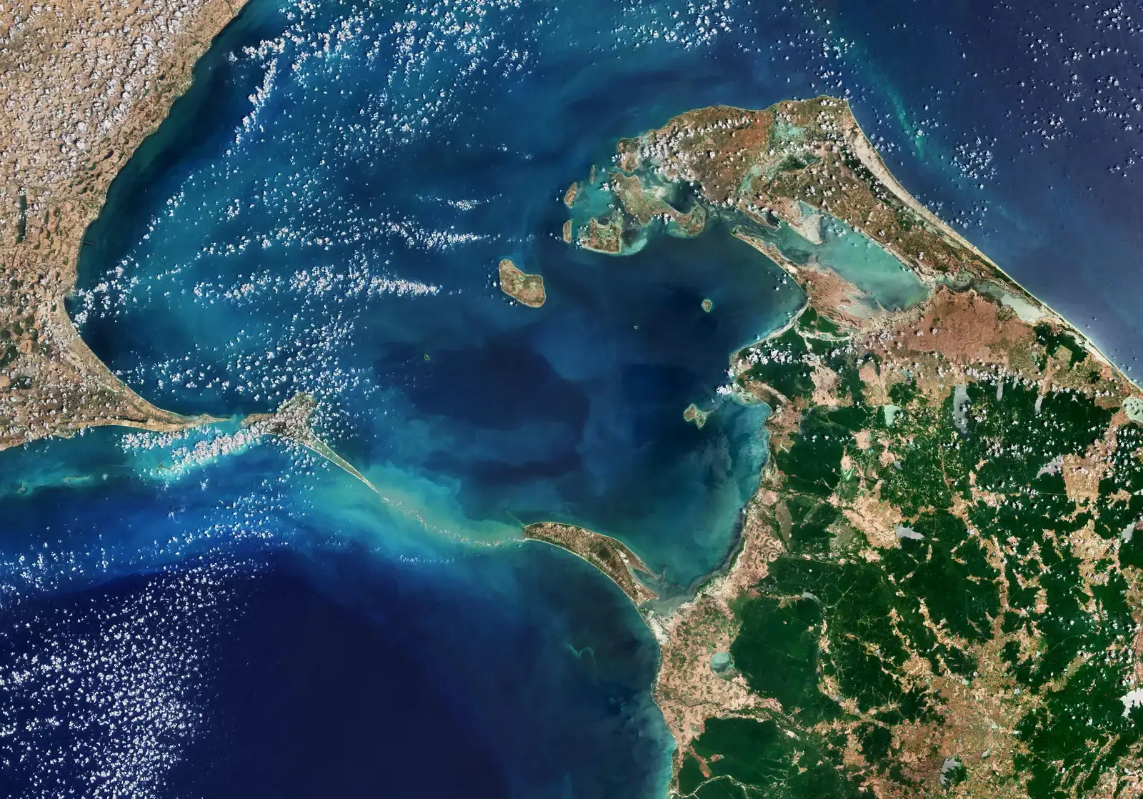
A nearly 30-mile chain of limestone shoals connects India to Sri Lanka just beneath the water’s surface, and nobody in an official capacity wants to say how old it really is.
Known locally as Rama Setu, the formation is composed of a curious sequence of sandbanks that appear almost too regularly spaced to be pure coincidence. Satellite imagery released years ago reignited public fascination by appearing to show a distinct, causeway-like pattern, sparking claims that it matches the mythological bridge described in the Ramayana.
At a Glance
- Length: roughly 30 miles of connected sandbanks and shoals
- Local name: Rama Setu, tied to the Ramayana legend
- Spark for renewed interest: satellite imagery showing a causeway-like pattern
- Leading scientific theory: natural coral and sediment accumulation over time
- Official age: never formally confirmed by either India or Sri Lanka
Government agencies on both sides of the strait have historically avoided committing to a hard number, partly because the formation carries deep religious significance for millions of people. Geologists lean toward a natural origin tied to coral and sediment accumulation, while others argue the uniform gaps and heights are unusual for a purely natural sandbar.
#7 – The Alpena-Amberley Ridge Hunting Lanes
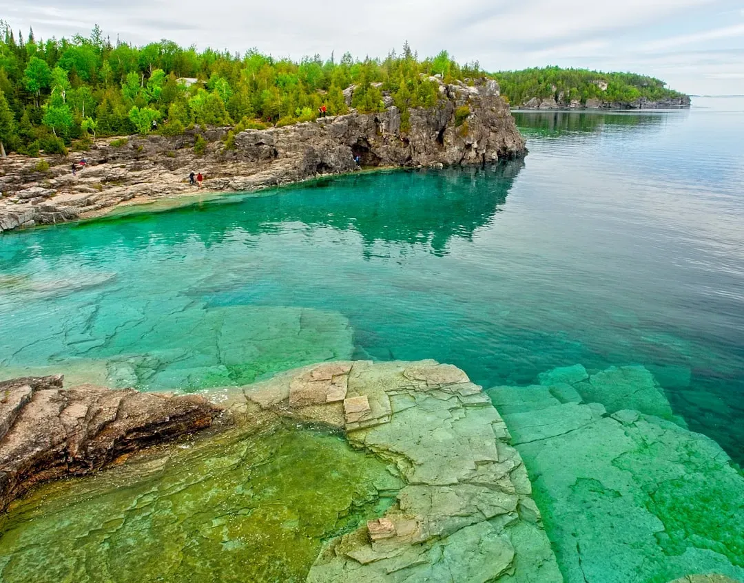
Beneath Lake Huron, 120 feet down, sits one of the most sophisticated prehistoric hunting structures ever found in North America – and it was hiding in plain sight for millennia.
Dr. John O’Shea from the University of Michigan has studied a rock formation in Lake Huron, dating back 9,000 years, situated 120 feet below the surface along the Alpena-Amberley Ridge, believed to have been used for ancient hunting practices, possibly to channel caribou. The site includes what researchers call “Drop 45 Drive Lane,” a limestone structure consisting of two parallel lines of stones that lead to a cul-de-sac lined with natural cobblestones.
The stones themselves can’t be carbon-dated, so every age estimate rests on the drowned landscape around them and the animal migration patterns they were built to exploit. That indirect method leaves plenty of room for disagreement, and researchers openly admit the full extent of the ridge’s structures remains unmapped.
#6 – The Baltic Sea Anomaly
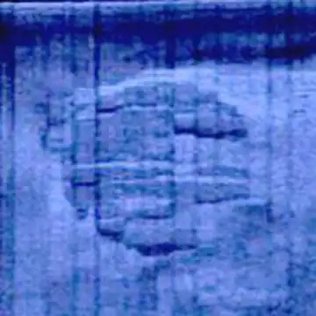
In 2011, a Swedish exploration team’s sonar picked up something that looked less like a rock and more like a stranded spacecraft resting on the Baltic seabed.
The object was oval-shaped, roughly 60 meters across, and what made the discovery explode online wasn’t just its size – it was the surface texture. It’s been described as having a stone-like or metallic surface, which is not common for natural seabed formations at that depth.
No peer-reviewed geological survey has ever assigned the object a formal age or a confirmed natural explanation, and the exploration team’s own follow-up dives raised more questions than answers about tool marks and unusual mineral readings. The complete absence of an official government statement, from Sweden or otherwise, is exactly what keeps UFO theorists circling the story more than a decade later.
#5 – Michigan’s “Stonehenge” in Grand Traverse Bay
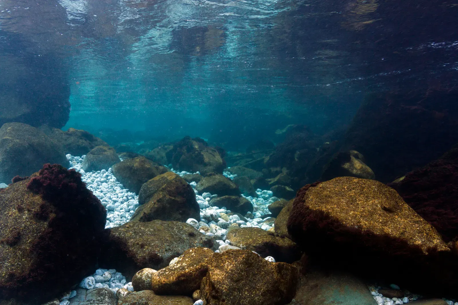
While searching for old shipwrecks, a Michigan professor stumbled onto something that had absolutely nothing to do with shipwrecks.
Dr. Mark Holley, an underwater archaeology professor at Northwestern Michigan University, discovered a strange prehistoric site beneath the waters of Grand Traverse Bay, identifying a deliberate arrangement of large stones on the lake bed while conducting a sonar scan. One boulder even appears to carry a carved image many believe depicts a mastodon, and these stones could date to roughly 6,000 B.C. – nearly twice as old as Stonehenge, which historians date to 2600-2400 BC – if the carving is ever formally authenticated.
Worth Knowing
- Discovered by: Dr. Mark Holley, Northwestern Michigan University
- Location: beneath Grand Traverse Bay, Lake Michigan
- Standout feature: a boulder some believe shows a carved mastodon
- Proposed age: roughly 6,000 B.C. if the carving is authenticated
- For comparison: Stonehenge is dated to 2600-2400 BC
That “if” is doing a lot of work. Holley himself has pushed back on sensational media coverage, noting the site is a long line of stones rather than a dramatic megalithic circle, and petroglyph experts have been slow to dive down and confirm the carving in person – until they do, the age stays theoretical, and many researchers now argue the “Stonehenge” label oversells what’s actually there.
#4 – Cuba’s Sunken “City” off Guanahacabibes
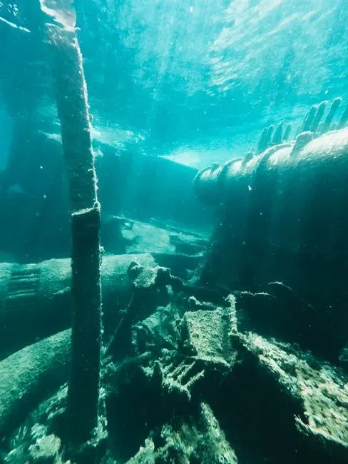
Two thousand feet down in the Caribbean, sonar operators found something that looked disturbingly like an abandoned metropolis.
In 2001, marine engineers Paulina Zelitsky and Paul Weinzweig used sonar technology to map the seafloor, revealing unusual geometric formations near the Guanahacabibes Peninsula. The detected structures covered about 2 square kilometers and displayed organized patterns that included smooth blocks, pyramid shapes, and lines reminiscent of streets – Zelitsky herself called it a wonderful structure that really looked like it could have been a large urban centre, but stressed it would be totally irresponsible to say what it was before there was evidence.
That caution didn’t stop the internet. The site hasn’t received a major follow-up expedition in over two decades, and some proponents of the sunken city theory claim the lack of exploration reflects a deliberate neglect of the topic.
What appears human is not necessarily human.
Manuel Iturralde-Vinent, geologist
#3 – The Gulf of Khambhat Ruins
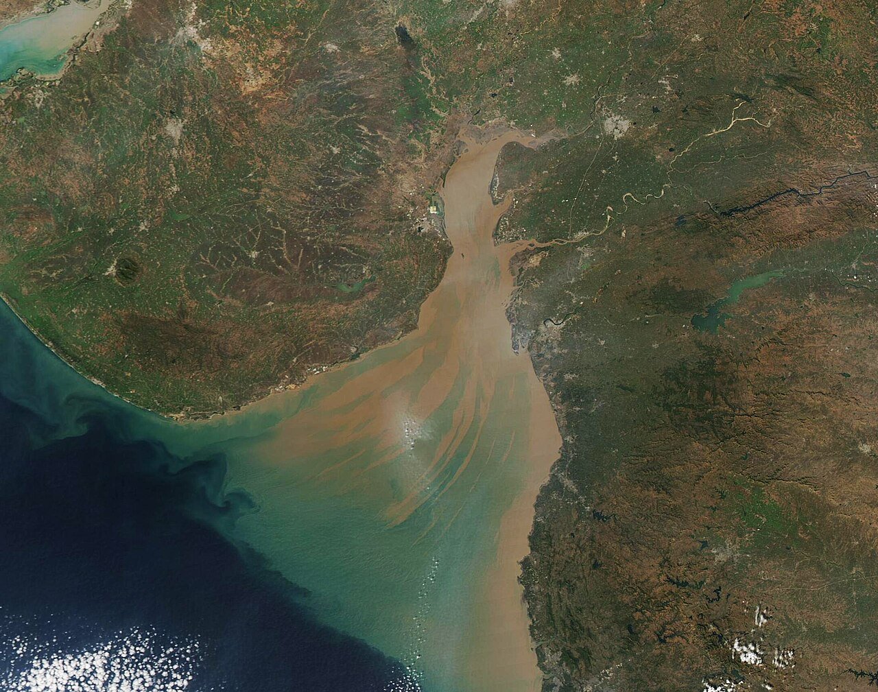
Off India’s western coast, sonar operators doing routine pollution studies in 2001 stumbled onto something nobody was looking for.
In May 2001, it was announced that ruins of an ancient city had been discovered in the Gulf of Khambhat, described as evenly spaced dwellings, a drainage system, a bath, a granary, and a citadel that pre-dates the Indus Valley Civilization. Follow-up dredging pulled up genuinely puzzling material, including wood dated to roughly 7,000 BC, along with stones described as hand tools, fossilized bones, pottery sherds, and a tooth.
A civilization older than the Indus Valley would rewrite South Asian history overnight, which is exactly why critics have pushed back so hard. Among the controversies: claims that the supposed artifacts are stones of natural origin, that the “sherds” are natural geofacts, and that dredging could have pulled up unrelated older sediment layers alongside anything genuinely man-made. No consensus dredging report has ever been published to close the debate either way.
#2 – The Bimini Road
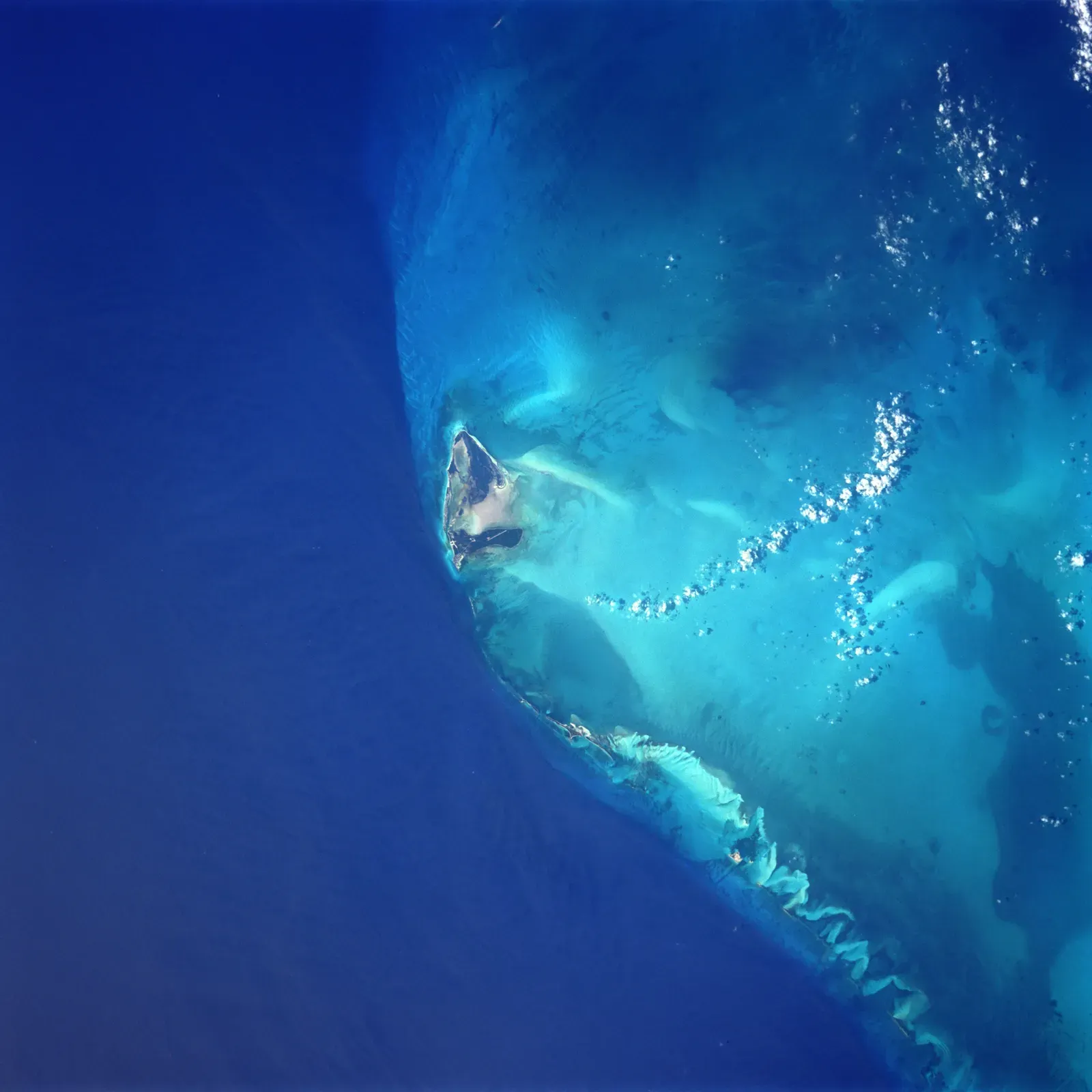
Off North Bimini in the Bahamas sits a half-mile of stones so neatly arranged that generations of divers have refused to believe nature built it alone.
The Bimini Road is a half-mile-long path of neatly arranged rectangular stones forming a J-shaped curve, with each block measuring up to 10 by 45 feet and lying nearly 20 feet deep – placing its age around 10,000 BC if it was once above sea level. That date isn’t a confirmed scientific finding; it’s a conditional estimate based entirely on when that stretch of seafloor would have last been dry land.
Most scientists lean toward a natural explanation, but plenty of others insist the precision is too perfect for nature alone. No formal geological body has ever issued a peer-reviewed age for the formation, leaving the door wide open for Atlantis enthusiasts convinced this could be a clue to the legendary lost city.
#1 – The Yonaguni Monument
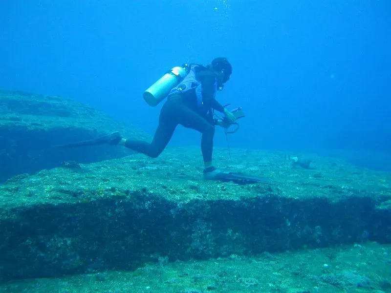
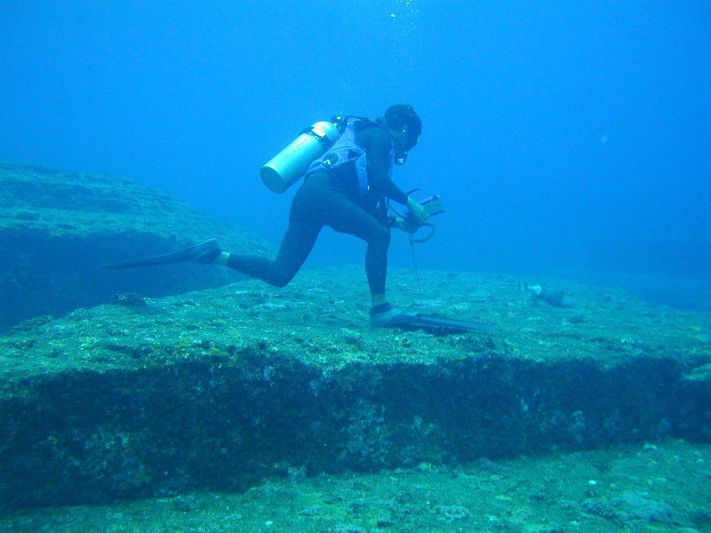
Off the westernmost tip of Japan sits the single most argued-about underwater formation on the planet, and even after nearly forty years of dives, nobody official will put a firm number on it.
The monument was discovered by Kihachiro Aratake in 1986 while he was looking for hammerhead sharks, and he called it “the underwater Machu Picchu.” Marine geologist Masaaki Kimura has spent decades arguing the opposite of the mainstream position, testing sandstone samples and determining that the rocks date from a period older than 10,000 years, when the area was still land – if true, that would make it older than the Pyramids of Giza, Stonehenge, and even Gobekli Tepe combined.
Why It Stands Out
- Discovered in 1986 by fisherman Kihachiro Aratake while diving for hammerhead sharks
- Features sharp right angles, flat terraces, and staircase-like edges
- Kimura’s estimate: older than 10,000 years, predating Giza, Stonehenge, and Gobekli Tepe
- 2024 Japanese academic study: concluded the shapes are likely natural
- Still largely unexplored by major institutions after nearly four decades
But a 2024 Japanese academic conference pushed hard in the other direction. A study presented by Hironobu Suga and his team at the 2024 Association of Japanese Geographers Spring Academic Conference challenged these speculations, concluding the formations are more likely the result of natural geological processes. Even critics admit the underlying problem hasn’t gone away: underwater structures require immense resources to study properly, and as a result Yonaguni has remained largely underexplored by global institutions, with most research driven by individuals like Kimura and small teams without institutional backing. Until a fully funded, institution-backed expedition commits to a final answer, Yonaguni stays exactly what it’s been since 1986 – the world’s most famous underwater question mark.
The Bottom Line
Here’s the uncomfortable truth: most of these 13 formations will never get an official date, not because science is incapable of finding one, but because nobody with funding wants to risk being wrong on something this culturally explosive.
Whether it’s Yonaguni’s sandstone terraces, Bimini’s suspiciously straight blocks, or Cuba’s sonar “city,” the pattern is identical – a jaw-dropping discovery, a handful of passionate researchers, and then institutional silence for decades.
That silence isn’t proof of a cover-up. It’s proof that underwater archaeology is expensive, politically messy, and nobody’s priority – and honestly, that might be the most frustrating discovery on this entire list. If even one of these thirteen formations ever gets the funding it actually deserves, a lot of textbooks are going to need rewriting.