
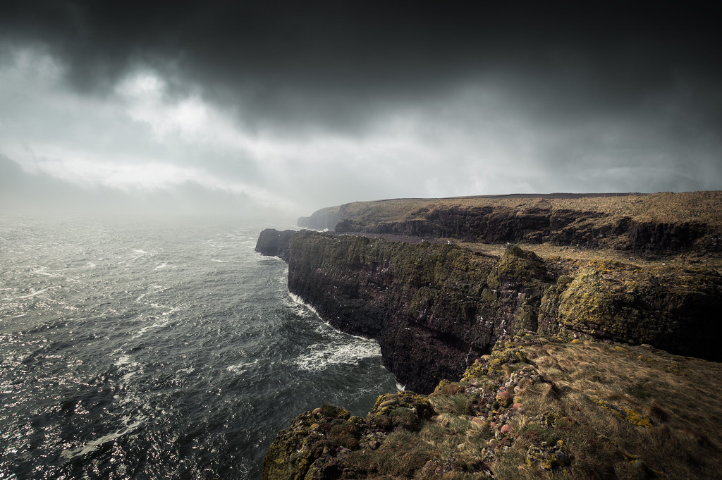
Stand at the base of a sheer rock wall after a storm and it almost feels like the cliff is staring back at you. Silent, immovable, indifferent. But that stone face has actually been busy for centuries, recording every major storm that’s slammed into it like a natural black box. While we scroll through weather apps, the cliff quietly keeps its own archive, layer by layer, crack by crack, stain by stain.
Once you know how to read those signs, a cliff turns from a grey wall into a story. You can trace floods from a hundred years ago, salt-laden tempests from centuries past, even ancient tsunamis. Geologists call this “paleotempestology” – the study of ancient storms – and a lot of its best clues are literally written in stone.
What follows are 13 different ways a cliff face captures and preserves storms over long timescales. Some of them are obvious once you see them; others are so subtle it takes lab analysis to decode them. But together they show one thing very clearly: the weather never really disappears. It just moves into the rock.
#1 Layered Sediments: Storms Trapped in Stone Pages
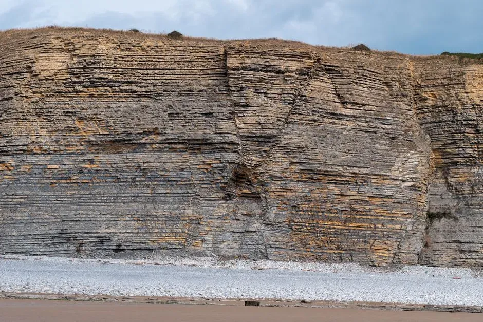
Have you ever looked closely at a cliff and noticed it’s built up in stripes, like a geological layer cake? Those layers, or strata, are not just pretty patterns; many of them formed in short, violent bursts of deposition during floods and coastal storms. A single hurricane can dump a coarse, sandy or gravelly layer on top of much finer sediments that took years to settle out calmly.
When a storm hits a coastline, powerful waves and surge rip up beach sand, offshore sediments, and even bits of shell, then hurl them inland. If that material gets trapped in a lagoon, estuary, or low-lying basin that later becomes part of a cliff, you end up with a distinct storm layer wedged between quieter, finer deposits. Hundreds of years later, you can walk past that cliff and literally point to the remains of a long-forgotten tempest.
Geologists read these stacked layers the way you might flip through a family photo album. Quiet periods show up as thin, uniform bands of fine mud or silt; storm years show as thick, irregular, coarser bands that stand out. In some places, repeating sequences of storm beds allow scientists to reconstruct storm frequency over centuries, revealing long-term swings from stormier eras to surprisingly calm ones.
- Calm conditions: thinner, finer, more uniform layers.
- Storms and floods: thicker, coarser, mixed layers with shell or gravel fragments.
- Stacked over time: a chronological record of high-energy events.
#2 Storm-Tossed Boulders and Megaclasts Frozen Mid-Flight
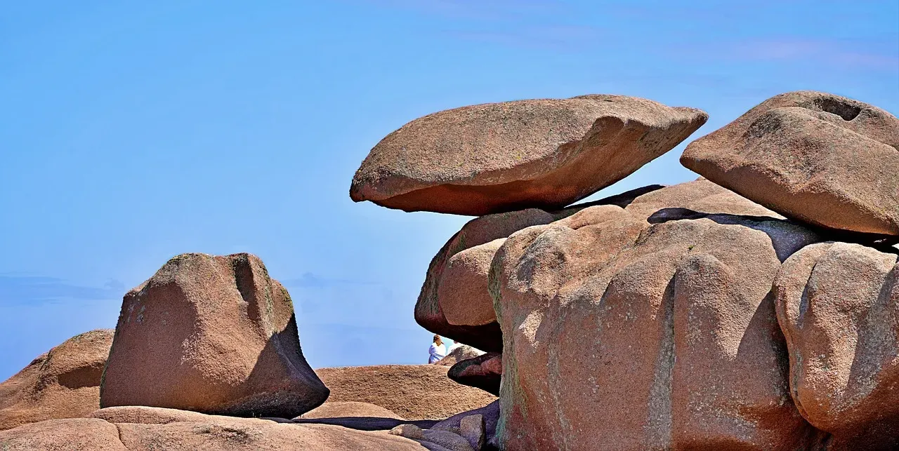
Sometimes storms are so strong they literally rearrange the cliff itself. Along rugged coasts, giant boulders – sometimes weighing as much as cars or small houses – can be ripped from lower ledges and thrown upslope. When you see a massive block stranded high up on a terrace or wedged awkwardly into a cliff notch, you’re likely looking at evidence of an extreme storm or, in rarer cases, a tsunami.
These boulders, called megaclasts, do not move easily. It takes exceptional wave energy during major storms to lift and hurl them. That is why their presence on top of a cliff ledge, far above normal wave splash, is such a strong signal of past extreme events. The cliff becomes a kind of sculpture garden of once-mobile rocks, each one testifying that the sea once reached far higher than it usually does.
Scientists can often date when the block was moved by looking at things like lichen growth, weathering rinds, or isotopes that accumulate when rock is exposed to cosmic rays at the surface. Over a coastline, different boulders at different heights can map out centuries of storm impacts, with older, more weathered blocks recording ancient events and fresher fractures telling of more recent violent waves.
#3 Salt Spray Staining and Chemical Fingerprints of Tempests
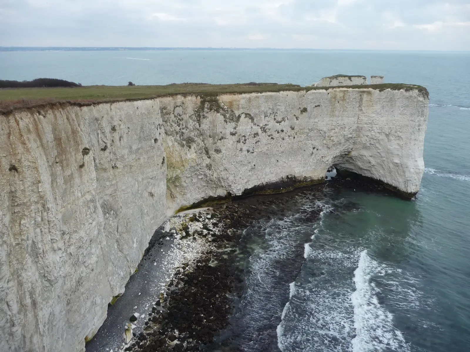
If you hike near a storm-exposed coastline, you might notice white, rusty, or dark streaks on cliff faces facing the sea. Those stains often come from salt spray and dissolved minerals flung inland by breaking storm waves. Every major storm pushes a salty mist further into the rock face, and over time that repeated soaking etches a visible history of how far the ocean can reach.
Saltwater doesn’t just leave a cosmetic mark; it seeps into pore spaces within the rock. As the trapped water evaporates, salt crystals grow, sometimes forcing the rock grains apart in a process called salt weathering. That rough, honeycombed look you see on some seaside cliffs is, in part, a storm log – thousands of cycles of spray soaking, salt crystallization, and tiny fractures widening over centuries.
In the lab, geochemists can actually analyze the chemical signature left behind in these salt-affected zones. Ratios of certain elements or isotopes can hint at how frequently the rock is doused by marine storms compared to calm conditions. Over long periods, this creates a vertical and horizontal pattern on the cliff: the band of intensely salt-weathered rock marks the typical reach of powerful waves and storm spray over many decades.
- Visible stains show where salt spray regularly hits.
- Crusts and honeycomb textures form from repeated salt crystallization.
- Chemistry of these zones helps distinguish storm exposure from normal marine humidity.
#4 Erosion Scars, Notches, and Overhangs Carved by Extreme Waves
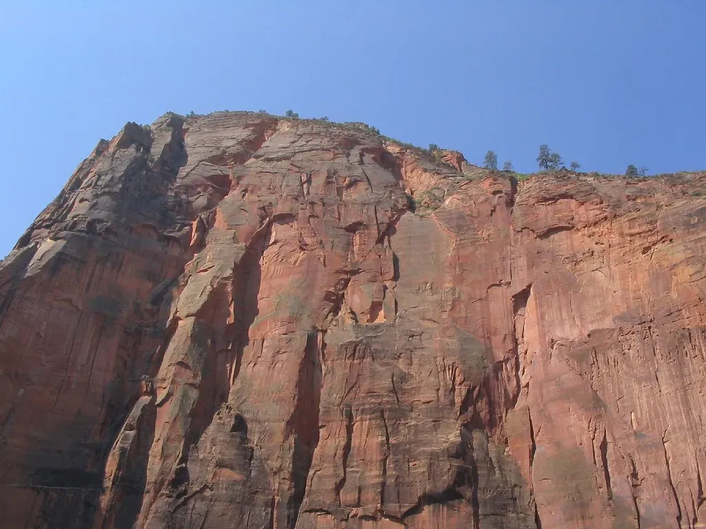
Cliffs are always eroding, but storms are like acceleration pedals for that process. When storm waves crash into a rock face, they focus energy at particular heights and weak spots, carving out notches and undercuts at the base of the cliff. Over many storms, these notches can grow into dramatic overhangs with more resistant rock left above and a flared, scooped-out shape below.
Look closely along a rocky coast and you’ll often see a repeating pattern: a relatively smooth vertical wall above, then a sharp inward curve or groove at about the height of typical storm waves, and finally a more broken base. That sharp curve is essentially a long-running measurement of wave attack. Changes in the height or sharpness of that notch along a cliff line can tell scientists whether storms have usually reached higher or lower levels over past centuries.
Storms also leave behind fresh scars – angular breaks, slabs that recently fell, and narrow gullies where water and debris plowed downward. Compared to the softer, rounded forms created by slow weathering, storm scars look more abrupt and raw. By dating when rockfalls or major collapses happened, researchers can often tie them to historical records of specific large storms, building a bridge between human-written history and the cliff’s own memory.
#5 Storm Deposits in Rock Shelves, Caves, and Ledges
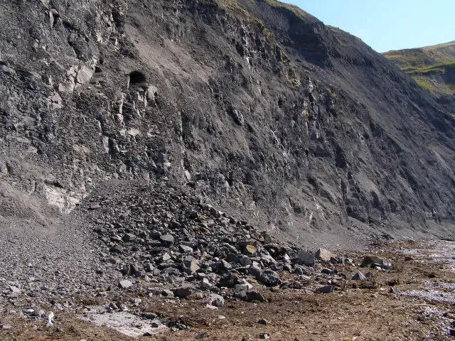
Flat rock shelves and small caves partway up a cliff can act like natural storm traps. When a powerful storm hits, waves surge into those spaces and dump loads of sand, pebbles, broken shell, driftwood, and even human debris. If those materials later get buried and, over time, lithified (turned into rock), you end up with distinct bands or pockets of “storm junk” preserved in the cliff face.
These deposits are often very different from the sediments laid down in calmer periods. They can be poorly sorted, with big chunks and fine material all mixed together, and may contain objects carried from far away. When that gets preserved inside what eventually becomes a cliff, it stands out as a chaotic layer embedded in otherwise orderly rock. It’s like finding a messy closet in an otherwise carefully arranged house.
Over hundreds of years, storms might repeatedly flood the same caves or ledges, stacking layers of chaos on top of one another. Geologists can core into those deposits, dating organic material such as bits of plant matter or shells to reconstruct how frequently extreme storm surges reached specific elevations. In some cliff systems, you can literally track the rising reach of storms as climate and sea conditions change over time.
- Rock shelves and caves act as natural storm sediment traps.
- Storm deposits tend to be mixed, coarse, and chaotic compared to calm deposits.
- Stacked storm layers help reconstruct how often extreme surges reached that height.
#6 Microfossils and Shell Layers: Tiny Witnesses to Violent Seas
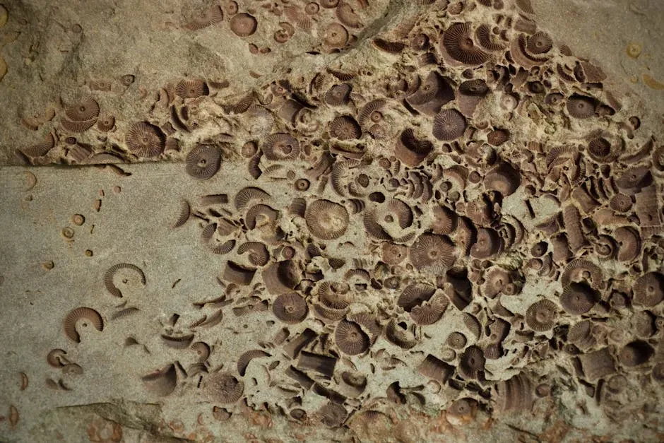
Not all storm records are dramatic boulders and smashed rock. Some of the most sensitive indicators are microscopic fossils, called microfossils, and thin shell layers in sedimentary cliffs. When a big storm stirs up the seafloor, it can sweep up the shells of tiny plankton and bottom-dwelling organisms from deeper or more offshore environments and redeposit them higher and closer to land.
Later, when those storm-swept sediments are compacted into rock, you end up with a thin but distinctive horizon packed with species that do not normally show up in that environment. To the naked eye it might just look like a pale band, but under the microscope, it is an invasion of unexpected creatures. That sudden appearance of deep-water or offshore microfossils in a nearshore cliff unit is a classic sign of a past high-energy event.
Shell-rich storm layers can sometimes be thick enough to see clearly without a microscope. They may form shelly lenses or bands, with larger, more robust shells that were tough enough to survive the rough ride ashore. By analyzing what species are present and how they are broken or abraded, scientists can distinguish slow, normal accumulation from abrupt storm dumping, giving another line of evidence for centuries of major storms.
#7 Chemical “Storm Signatures” Locked in Mineral Layers
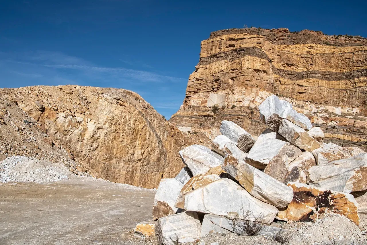
On a more subtle level, storms can leave behind chemical fingerprints in the minerals that grow within a cliff. For example, carbonate minerals that precipitate from water seeping through rock can encode information about the chemistry of that water. When storm surges push seawater into fractures, the result is a pulse of more marine-like chemistry that gets locked into the next layer of mineral growth.
Over time, these minerals may form thin crusts or veins cutting across the rock. By slicing and analyzing them in the lab, geochemists can detect changes in things like elemental ratios or stable isotopes that correspond to periods when more saltwater was infiltrating the cliff. Those infiltration events often line up with times of high sea level, major storms, or both.
This approach is a bit like tree-ring science, but instead of counting rings, researchers scan through microscopic bands of mineral growth. A series of bands enriched in signals associated with seawater could indicate a run of stormy decades, while long stretches without such signals might point to calmer conditions. Even though we cannot literally see those changes on a casual hike, they are there, quietly recording storm pulses over very long timescales.
- Minerals growing in fractures respond to changing water chemistry.
- Storm surges inject distinctive, saltier water into the rock.
- Layer-by-layer analysis reveals stormy versus calm intervals across centuries.
#8 Rockfall Patterns and Debris Cones Triggered by Heavy Rains
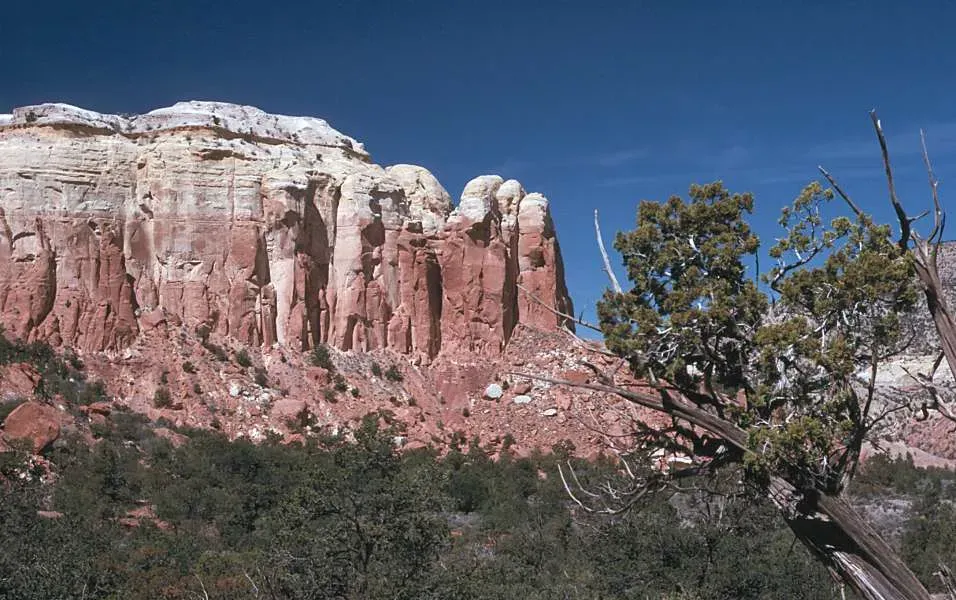
Not all storms are coastal. Inland cliffs, canyon walls, and mountain faces keep their own archives of intense rainstorms and flash floods. One of the clearest signs is the pattern of rockfall debris and talus (loose rock piles) at the base of the cliff. Major storms that saturate fractures, loosen bonds, and generate runoff can trigger sudden collapses and debris flows that leave unusually large or fresh piles of rubble.
Over centuries, repeated storm-triggered failures can build distinct cones of debris that radiate out from gullies or fracture zones. These cones can be cut by younger slopes or partially buried by later events, creating a nested pattern that lets geomorphologists piece together a relative timeline. Sometimes charcoal from storm-driven wildfires or organic matter caught in the debris allows for age dating, tying specific collapses to climate periods known from other records.
The cliff face above those debris cones also holds clues. Freshly exposed rock looks sharper, lighter in color, and less weathered, while older surfaces are rounded and stained. By mapping these patches of new versus old exposure, researchers can reconstruct how often heavy storms have hammered the area hard enough to knock pieces off, even when written records are completely silent.
#9 Waterfall Streaks and Stain Lines from Rainfall Extremes
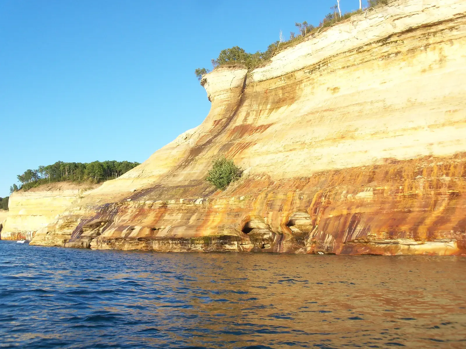
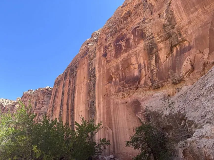
During intense rainstorms, cliffs suddenly sprout temporary waterfalls and runoff streams that vanish a few hours later. While the water disappears quickly, its path can be recorded for years as dark streaks, mineral stains, and subtle erosion lines on the rock face. On some cliffs, these vertical streaks create a ghostly barcode of past flows, each line marking a preferred drainage path revived again and again during heavy storms.
These streaks often coincide with fractures, bedding planes, or slight indentations in the rock. When storms dump water faster than the ground above can absorb it, water seeks the fastest route down, concentrating along those structural weaknesses. Over repeated storm seasons, dissolved minerals in the water – iron, manganese, carbonates – leave behind colored deposits that highlight the routes in browns, oranges, or blacks.
By studying their thickness, continuity, and overlap, scientists can distinguish well-established, frequently active flowlines from rare or one-off events. Especially thick or freshly cut streaks may correspond to unusually intense rainfall episodes, like once-in-a-century downpours that caused landslides and floods elsewhere in the region. The cliff, in essence, becomes a kind of rain gauge painted in stone.
- Temporary storm waterfalls leave long-lived stain lines.
- Mineral deposits reveal how often water has flowed there.
- Pattern changes over time can hint at shifts in rainfall intensity and routing.
#10 Tree Roots, Soil Pockets, and Vegetation Clues in Cliff Niches
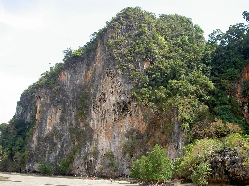
At first, plants might seem like a distraction in the story of cliffs and storms, but they are actually part of the record. Little soil pockets and vegetation-covered ledges on a cliff form and disappear depending on how often they get blasted by storms. If a ledge hosts mature shrubs or even small trees, it suggests a long period without catastrophic washouts at that exact height. By contrast, bare, scoured rock tells you that storms – wind, waves, or runoff – rarely let anything establish there.
Tree roots that penetrate rock joints are especially revealing. In some cliff systems, roots grow into fractures that only stay moist thanks to repeated storm runoff. The age of those trees, determined from tree rings, can provide a minimum age for when that particular storm-fed micro-habitat became stable. If there are bands along the cliff where vegetation is consistently absent despite suitable rock, that may mark the regular reach of storms that strip away soil and seedlings.
Over centuries, these vegetation patterns shift as climate, storm tracks, and sea level change. A band of hardy, salt-tolerant plants might migrate upward along a sea cliff as storm surges and spray reach higher. To an experienced eye, that greenery becomes another contour line of long-term storm exposure, painted in leaves instead of minerals.
#11 Ancient Shorelines and Terraces Cut by Repeated Storm Surges
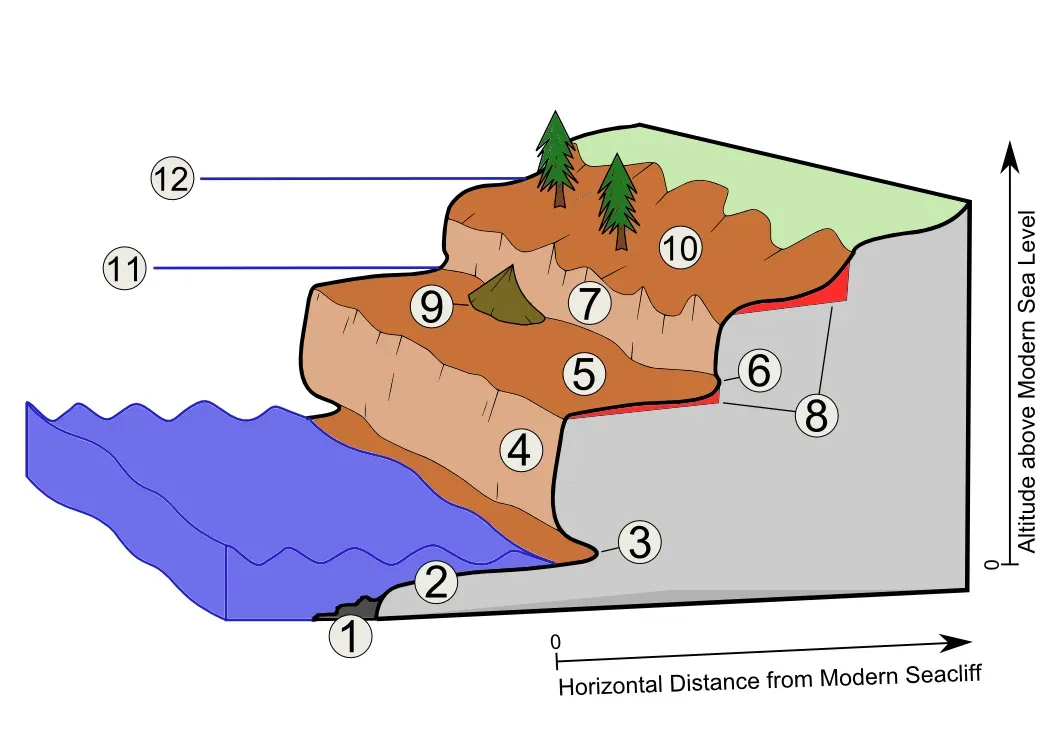
Step back from the cliff and sometimes you see something bigger: whole platforms and step-like terraces that run along the coast or valley walls. These ancient shorelines and wave-cut benches are long-term products of repeated wave action and storm surges at particular heights. Even after sea level falls or land uplifts, the terraces remain etched into the rock as enduring records of former storm zones.
Each terrace represents a period when waves, especially during storms, focused their attack at roughly that elevation, grinding and planing the rock into a relatively flat surface. Later, tectonic uplift or changes in sea level raise that surface out of everyday wave reach, freezing it in place as the coast adjusts to a new level. Stack several terraces above each other, and you have a staircase of ancient shorelines, each tied to a different climate and sea-level state.
By dating the rock surfaces or sediments sitting on top of these terraces, researchers can tie them to known warm periods, ice ages, or regional uplift events. The storms themselves are not individually preserved, but their collective power over thousands of years is written in the geometry of the landscape: wide, flat benches where waves once pounded relentlessly, now high and dry above today’s storm spray.
- Wave-cut terraces mark long-standing storm-influenced sea levels.
- Uplift or sea-level change elevates these benches into cliff records.
- Multiple terraces together chart a staircase of past coastal storm zones.
#12 Tsunami and Superstorm Layers Hidden in Coastal Cliffs
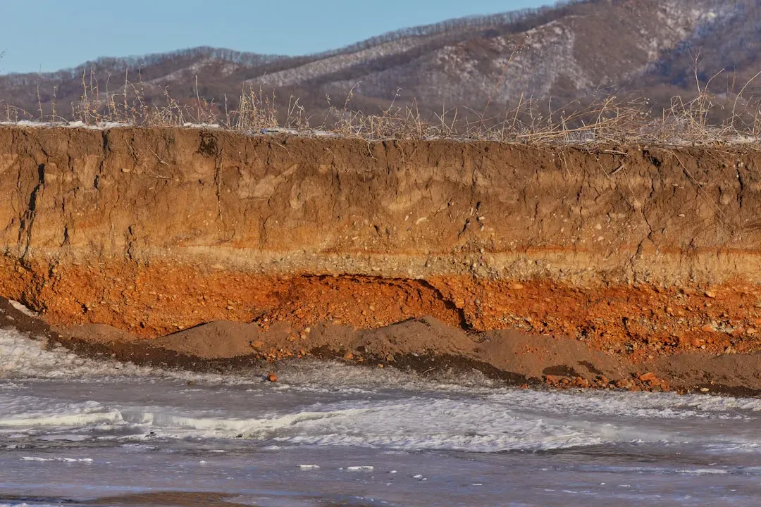
Not all big waves are from everyday storms. Some come from rare but devastating events like tsunamis or superstorms. Coastal cliffs often preserve these as out-of-place sand sheets or mixed deposits extending much higher than regular storm layers. These deposits can be startling: beach sand and marine shells tucked behind dunes or high above normal surge levels, where only an exceptional event could have carried them.
In the rock record, these layers tend to be relatively thin but laterally extensive, stretching across wide areas rather than just one small cove. They may also show a distinctive mix of materials, such as marine sand overlain by terrestrial debris from the landward side that was dragged back out by retreating water. When exposed in a cliff, such units can sometimes be traced for hundreds of meters, telling a story of a single, massive inundation.
Geologists cross-check these layers against independent markers like radiocarbon dates, historical chronicles, and even offshore cores. When multiple lines of evidence agree, a single sand-rich band in a cliff can be confidently linked to a long-known historical tsunami or mega-storm. The cliff thus becomes a silent corroborating witness, confirming that the stories passed down by people and the numbers stored in instruments both align with what the landscape itself remembers.
#13 Human Graffiti, Weathered Walls, and Our Own Storm Memories
Here’s a twist: sometimes the cliff’s record of storms includes us. Human-made markings – carvings, graffiti, old inscriptions, even masonry or sea walls built into the cliff – can act as reference lines showing how storms have changed over the centuries. An old harbor wall now sitting meters above the reach of most waves, or a historic “high water” mark carved into rock, tells you where storm surges once regularly reached.
Over time, weathering of these human marks becomes part of the story. A date carved shallowly into a cliff but now badly eroded suggests heavy exposure to spray, wind, and maybe frequent storms. Another inscription of the same age but in a more sheltered alcove may look practically new by comparison. By reading these differences, you can infer patterns of exposure that match with the natural indicators nearby.
I remember hiking along a storm-battered coast and noticing an old, nearly illegible carving that listed a year and the words “great flood” scratched into the rock. It was sitting just below a band of salt-weathered, honeycomb rock and above a coarse storm deposit littered with shell fragments. In that one spot, human memory, rock texture, and sediment all overlapped, each telling the same story in a different language: something big happened here, and the cliff made sure it would not be forgotten.
Conclusion: Reading the Stone Archives of Tempest Earth
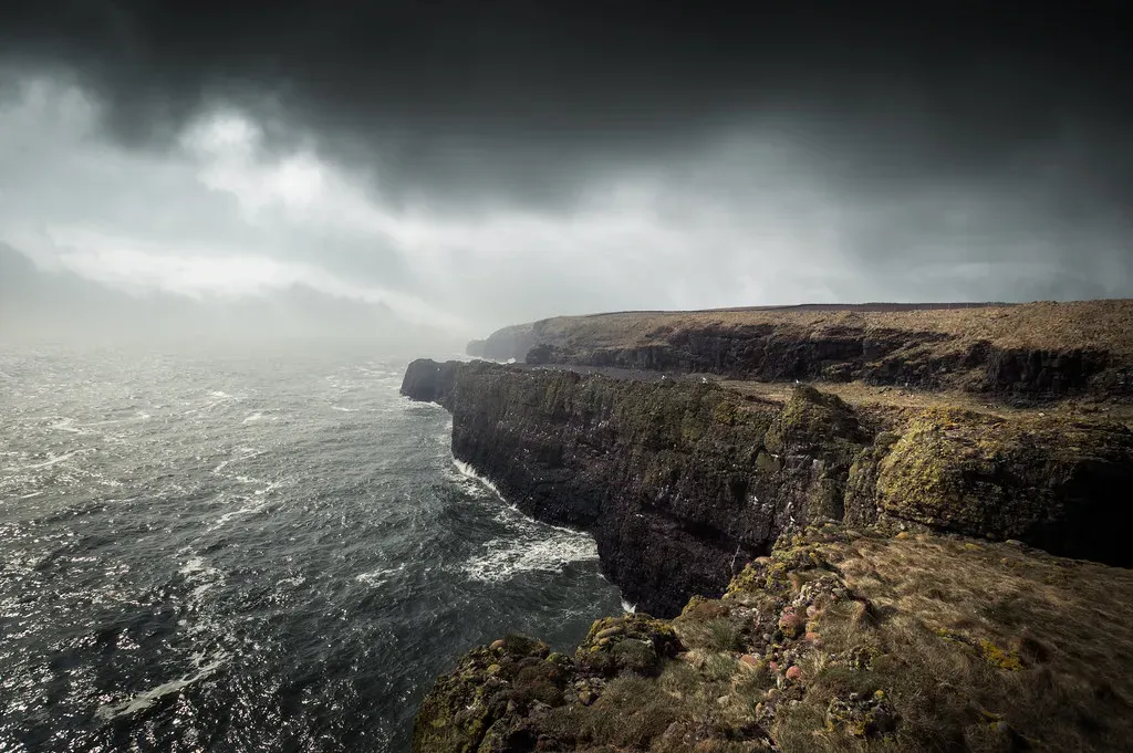
When you start to see cliffs as storm archives, it changes the way you move through the landscape. That grey wall on the edge of town stops being a blank backdrop and turns into a living ledger of chaos and calm, engraved over centuries. Layers, boulders, stains, terraces, fossils, roots – they all become lines in a long, slow conversation between climate, ocean, and rock.
In a time when extreme weather is on everyone’s mind, these stone records serve as a quiet reality check. They show that violent storms are nothing new, but they also reveal patterns: stretches when tempests were rarer, pulses when coastlines took a beating, moments when the sea reached further than before. If we ignore those clues and rely only on the short span of human memory, we are basically tearing out most of the pages from the book and then acting surprised when the story takes a sharp turn.
My own opinion is that we should treat cliffs with the same respect we give good historical archives: not as spooky scenery or nice photo backdrops, but as a hard-earned record that cost the planet a lot of energy to write. Every storm that carves a notch, throws a boulder, or paints a stain has paid its ink in waves, wind, and rain. The least we can do is learn to read it. Next time you pass a cliff after a storm, ask yourself: if this wall could speak, how far back would its weather stories go – and what storm would it say is coming next?