It is easy to look at a map of North America and assume it has always been this way: a familiar triangle of land wedged between two oceans, topped with ice and dotted with deserts, forests, and cities. But that calm, flat map hides a wild, shape-shifting past. For most of Earth’s history, North America has been torn apart, flooded, squashed, stretched, and even twisted sideways into places you would barely recognize.
Imagine a version of “North America” where Kansas has a warm, shallow sea filled with marine reptiles, or where Greenland is glued to Europe, or where the Rocky Mountains do not exist yet. At different points in deep time, all of that actually happened. Below are eight moments when this continent was so transformed that you would struggle to believe you were standing in the same place. By the end, you might never look at a map of North America the same way again.
1. When North America Was Just a Piece of an Ancient Supercontinent
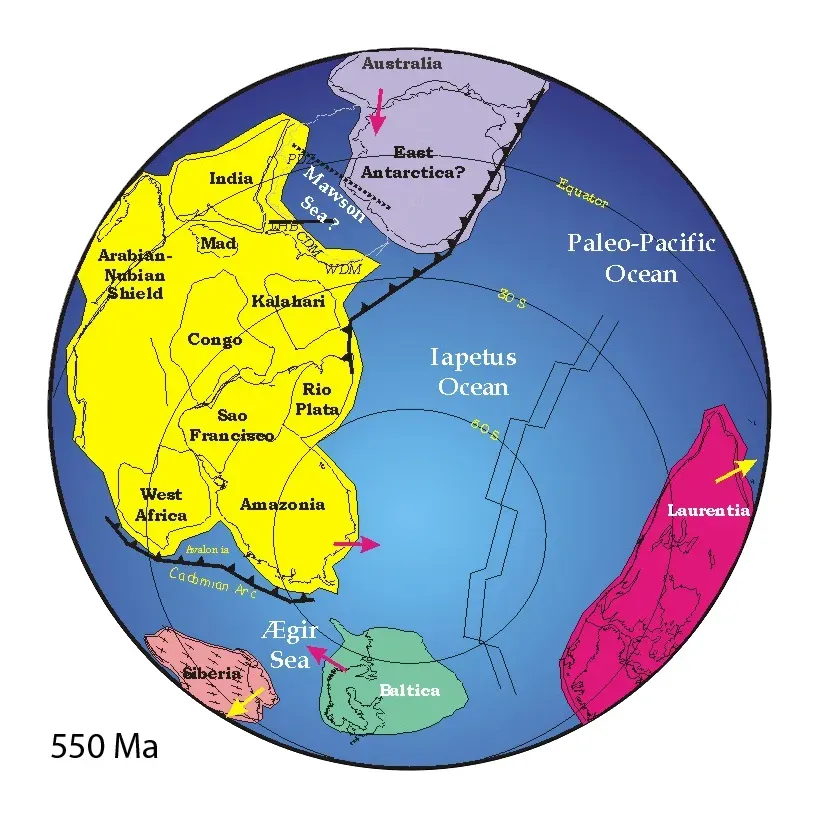
Hundreds of millions of years before there was anything called “North America,” there was simply a large block of ancient crust that geologists call Laurentia. Picture a rugged, mostly barren landmass stuck in the middle of the global jigsaw puzzle, getting hit by collisions from all sides like a bumper car that never gets a break. Laurentia is the core of today’s North America, but for vast stretches of the Precambrian, it was welded into supercontinents such as Rodinia and, later, Pangaea.
Back then, there were no familiar coastlines, no Gulf of Mexico, no recognizable outline at all. The edges of Laurentia were surrounded by mountain belts forming as other continents slammed into it, then ripped away again as plate boundaries reorganized. What we now call Canada’s ancient shield rocks once sat near tropical latitudes, and chunks of what is now the southern United States were tacked on much later through a series of crustal collisions. If you could time-travel to those supercontinent days, you wouldn’t say, “Oh, that’s North America.” You’d just see one segment of a giant, almost featureless landmass stretching far beyond the horizon.
2. The Cambrian Drowning: A Shallow Tropical Sea Over the Interior
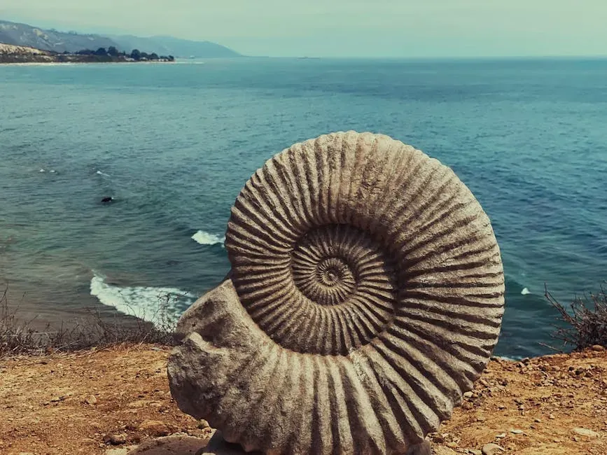
Fast‑forward to roughly the early Paleozoic, and something dramatic happens: the interior of Laurentia, including vast regions that are today dry land, sinks just enough for shallow seas to flood over it. Instead of the Great Plains or the Midwest, you’d see warm, shallow, tropical waters teeming with early marine life. The continents at this time were low and relatively flat, so a small rise in sea level or gentle crustal sagging could turn thousands of kilometers of land into ocean in geologic short order.
If you stood where the central United States is today, you might be wading in a broad carbonate platform, more like a tropical lagoon than the deep open ocean. Ancient beach sands and marine limestones that record these seas are now preserved across huge areas, from Canada through the United States. Fossils show trilobites, brachiopods, and other early invertebrates thriving in those waters. The idea that Chicago, Winnipeg, or Denver could once have been underwater in a shallow, sunlit sea sounds almost cartoonish, but that is exactly what the rocks are telling us.
3. The Age of Giants: When Dinosaurs Roamed a Divided Continent
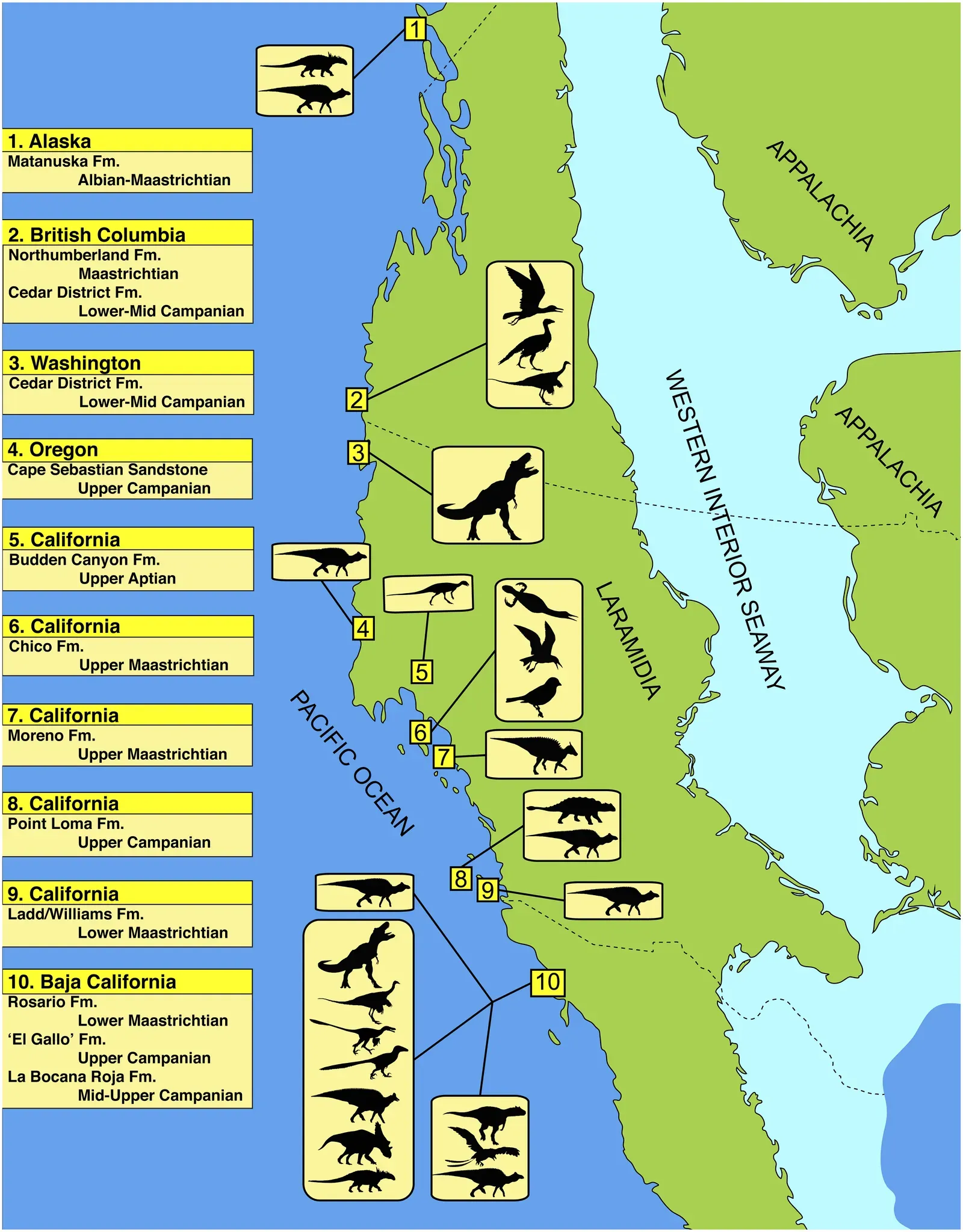
Jump to the Late Cretaceous, and North America looks almost like a continent with a bite taken out of the middle. A huge seaway, often called the Western Interior Seaway, split the land into two major landmasses: a western strip called Laramidia and an eastern region sometimes called Appalachia. You could, in principle, sail from what is now the Arctic Ocean all the way down to the Gulf region, crossing above areas that are currently wheat fields and interstates.
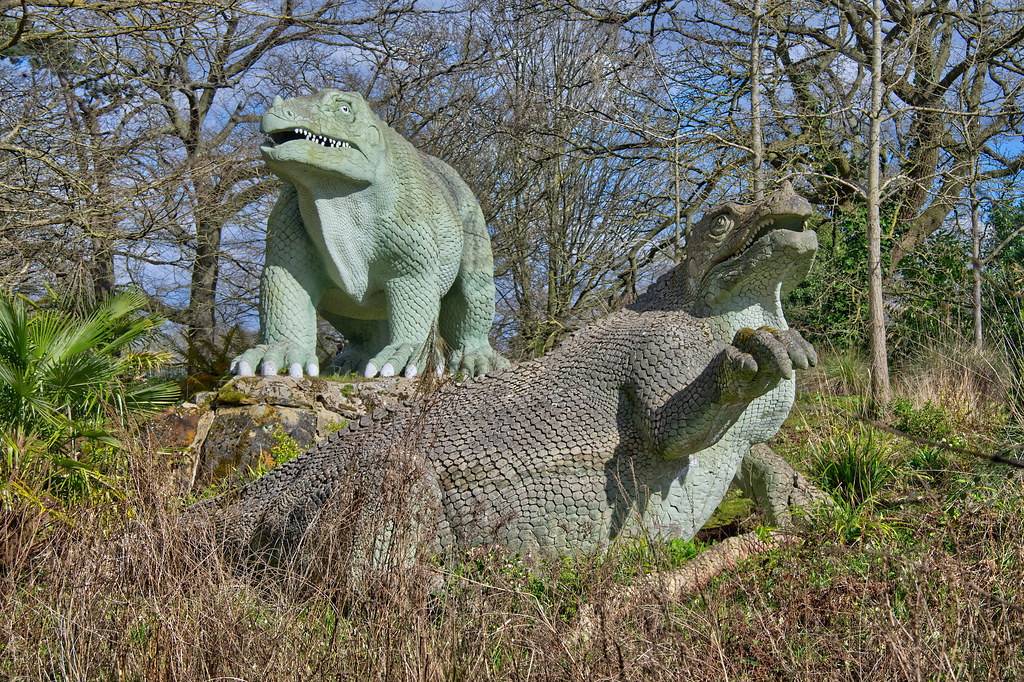
On either side of this inland ocean, different dinosaur ecosystems evolved, partly isolated by the long stretch of water between them. In the west, along the young, rising Rockies, you’d find some of the most iconic dinosaurs: horned ceratopsians, duck‑billed hadrosaurs, and massive tyrannosaur predators. Farther east, the fossil record is patchier, but it hints at distinct faunas roaming a humid, coastal lowland. If you flew a drone over North America at that time, you wouldn’t see a roughly solid triangular continent; you’d see a broken, island‑studded world with shorelines winding across the center of what is now the mainland.
4. Building the Rockies: A Flat Continent Crumples into a Mountain Wall
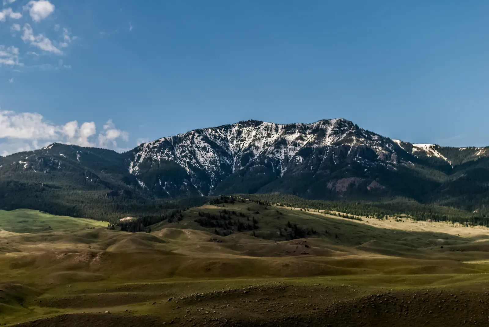
It is hard to imagine modern North America without the Rocky Mountains, but for a very long time there was nothing like that towering backbone down the west. Before the Late Cretaceous to early Cenozoic mountain‑building events, western North America was closer to a very broad, low ramp that gently sloped into the ocean. Then the tectonic setting changed: oceanic plates began to dive beneath the continent in a way that shoved stress far inland, crumpling what had been a relatively flat interior.
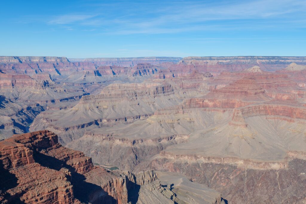
That prolonged crunching, uplift, and erosion built the Rockies and related uplifts from Canada down into Mexico. The continent’s profile shifted from a gentle tilt into the Pacific to a steep, rugged wall dominating the western skyline. River systems were diverted, climates on the lee side dried out, and new rain shadows formed deserts that had not existed in that way before. In terms of how the land is lived and experienced, the arrival of those mountains transformed North America from a broad, relatively even slab into a continent defined by a massive, storm‑catching spine.
5. The Great Rip: When the Atlantic Tore North America Away from Europe and Africa
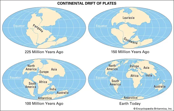
Before there was an Atlantic Ocean as we know it, much of what is now eastern North America was jammed tightly against northwestern Africa and western Europe as part of Pangaea. If you mentally slide the continents back together, the fit is surprisingly snug: the Appalachians line up with mountain belts in the British Isles and Scandinavia, and the coastal margins make more sense stitched together. In that configuration, talking about a “North American” coastline on the east would not even make sense; it was just one interior piece of a sprawling supercontinent without a defined Atlantic edge.
Then Pangaea began to crack. Rift valleys opened, volcanic activity flared, and over tens of millions of years the Atlantic Ocean widened. What we now call the eastern seaboard was sculpted during that slow tearing, as blocks of crust sagged, sediments piled in, and the edge of the continent cooled and sank. The modern picture – New York facing Europe across an ocean, Florida staring toward Africa – is the end result of that breakup. In the early stages, though, the geography would have felt utterly different, more like standing along the edge of a giant, elongating wound in the supercontinent than on the calm, well‑defined coast we know today.
6. Icebound North America: An Incredibly Different Landscape Under the Ice Sheets
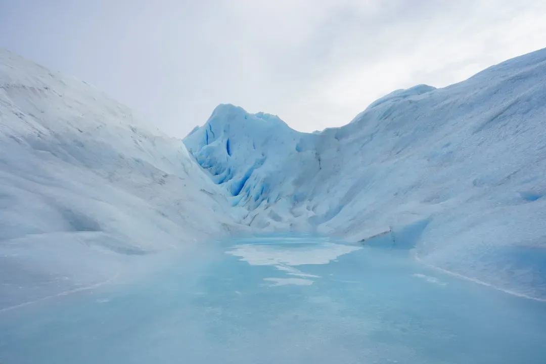
During the height of the last major ice ages, North America was barely recognizable across its northern half. Instead of forests, prairies, and cities, vast ice sheets smothered Canada and extended deep into the northern United States. In some places, that ice was more than a couple of kilometers thick, heavy enough to press the crust downward. The world map still showed a continent, but on the ground you would see a surreal, frozen plateau stretching beyond sight, with brutal winds and almost no vegetation.
The weight and movement of that ice carved the landscape in ways that still define North America now. As the ice advanced and retreated, it scraped out basins that later filled to become the Great Lakes, reshaped valleys, and left behind ridges of debris, boulder fields, and rich soils. Sea level was lower, so the coastline also shifted; areas that are now underwater along the continental shelves were exposed as cold, windy plains. When people picture ice ages, they often imagine only colder temperatures, but in reality the very shape and surface of North America was remade by those glaciers and did not resemble the continent we casually fly over today.
7. The Western Margin in Flux: From Island Arcs and Oceanic Plateaus to a Coherent Coast
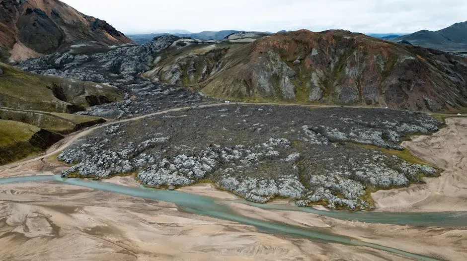
One of the strangest truths about western North America is that not all of it started out “belonging” to the continent. Over hundreds of millions of years, chains of volcanic islands, oceanic plateaus, and small fragments of crust were carried in on moving plates and then sutured onto Laurentia’s western edge. These added pieces, often called terranes, range from small slivers to regions the size of large U.S. states. If you could watch a time‑lapse movie, you would see the western margin as a busy conveyor belt of incoming bits that periodically crash into the continent and stick.
Because of that constant accretion, the western coastline has been anything but stable. Parts of what is now Alaska, British Columbia, and even the U.S. Pacific Northwest may once have been located far out in the ocean or at very different latitudes before journeying in. So when we glance at a map and see a clean, solid boundary along the Pacific, we are looking at the end product of a long sequence of messy collisions and rearrangements. In earlier times, there was no single, continuous “west coast” at all, just a shifting patchwork of volcanic arcs and oceanic fragments waiting to be welded into the continent we recognize.
8. The Future North America: A Moving Target, Not a Finished Product
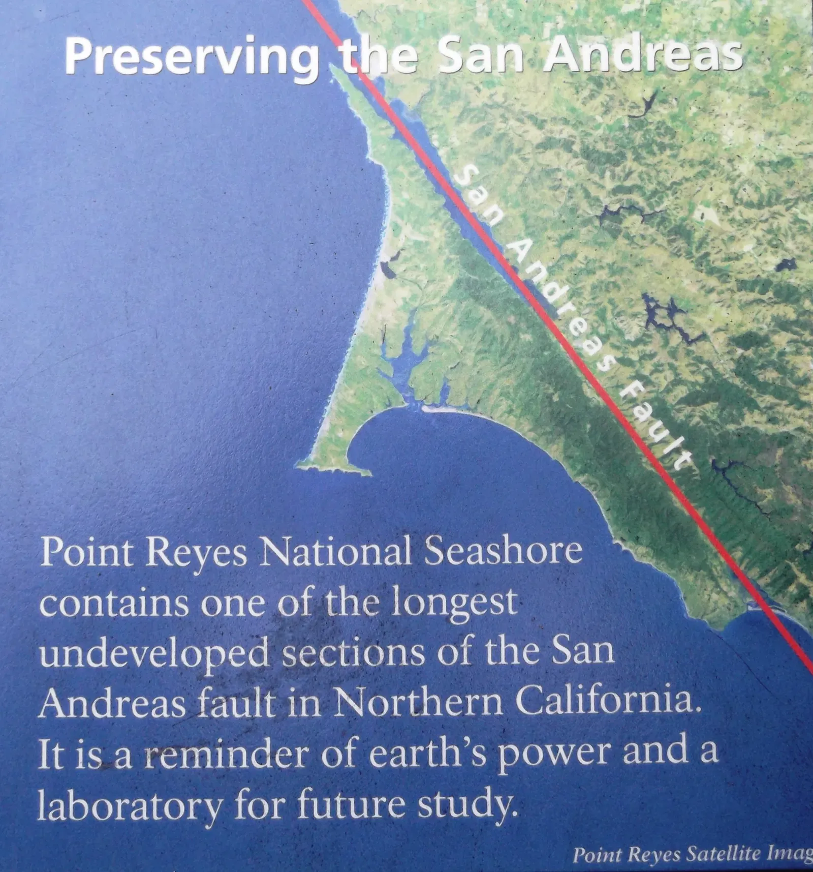
It is tempting to treat the present as the finished chapter of North America’s story, but geologically speaking, the continent is still a work in progress. The Atlantic continues to widen, the Pacific plate keeps sliding beneath the west coast, and the San Andreas Fault is slowly shuffling chunks of California northward. One day, parts of coastal California could end up far closer to Alaska than they are now, and new mountain belts may rise while others erode down to stumps. From a deep‑time perspective, the current shape is just one frame in a film that keeps rolling.
We cannot know every detail of that future map, but the pattern is clear: this continent has never been static. In tens of millions of years, the outline of North America might be so altered that future geographers would find our present‑day maps as quaint and misleading as we find sketches of Pangaea drawn on classroom posters. To me, that is the most humbling takeaway of all. The North America we know is not the default or the end point; it is a temporary arrangement in a long history of change. If the land beneath your feet is still drifting, who really gets to say what North America “truly” looks like?
Conclusion: A Familiar Continent with a Wildly Unfamiliar Past
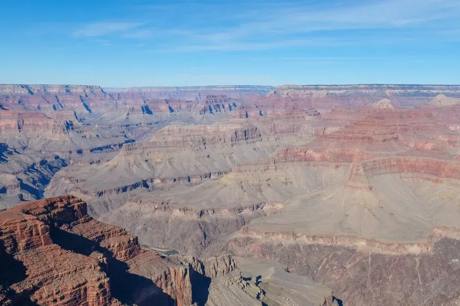
When you zoom out to a geologic timescale, North America stops looking like a stable, permanent backdrop and starts to resemble a restless traveler constantly changing its outfit. It has been the heart of supercontinents, the floor of tropical seas, an ice‑wrapped plateau, and a collage of collided fragments. Personally, I find that both unsettling and oddly comforting: the idea that even something as enormous as a continent can change so completely reminds me that flux is the rule, not the exception. Our highways, borders, and city skylines are just thin, temporary scratches on a planet that thinks in millions of years.
Being honest, I think we underestimate how much this deep history shapes our present lives. The positions of mountain ranges, the pathways of rivers, the locations of oil fields and fertile soils, even where people choose to build cities – all of that is written by old collisions, vanished seas, and long‑gone ice sheets. So the next time you glance at a map of North America and take its outline for granted, remember that you are looking at a fleeting pose in a very long dance. If you could check back in another hundred million years, are you sure you would still recognize it at all?