
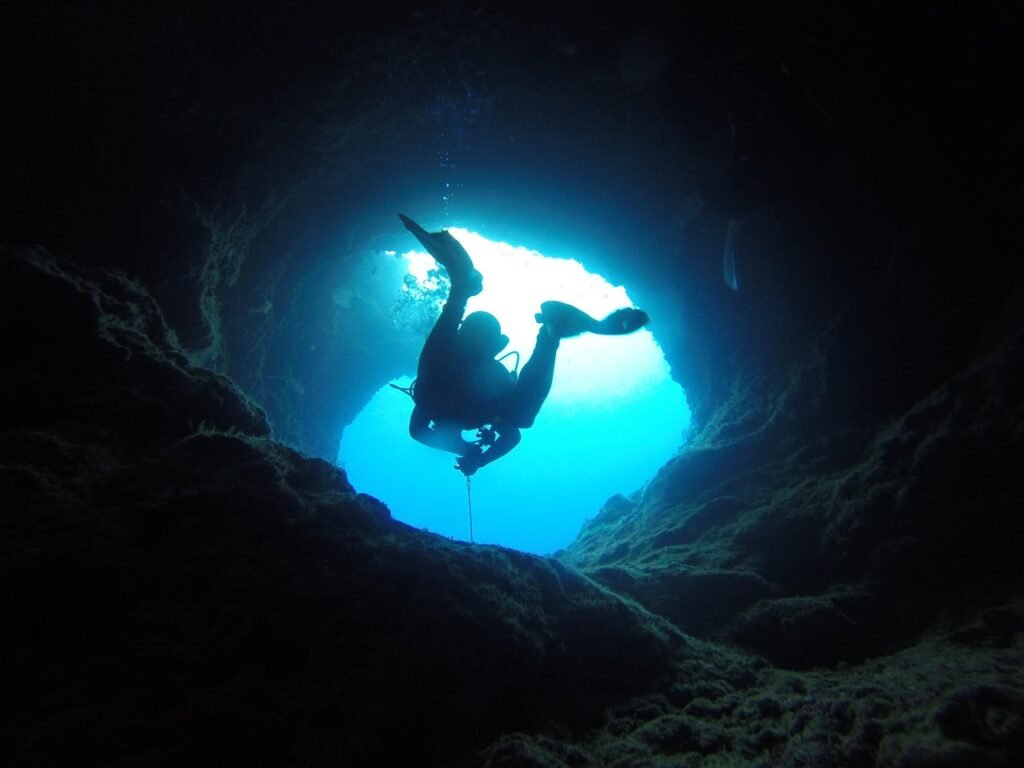
Most people assume the ocean floor is just sand, rock, and shipwrecks. It isn’t.
Scattered across the seabed and hidden behind flooded cave mouths are chambers that were bone-dry when humans first carved, painted, mined, and buried their dead inside them – long before the sea ever reached that far inland. Some of these rooms sat dozens of meters above the waterline during the last Ice Age. Then the ice melted, the coastline crept forward, and the water simply… arrived.
Here’s the strange part: the markings inside didn’t get erased by that flood. They got sealed shut, like a door closing on a time capsule mid-sentence. What marine archaeologists have pulled out of these 14 flooded chambers is older, stranger, and in a few cases more haunting than the coastline that now buries them.
#14 – The Stone Age Village Beneath the Bay of Aarhus, Denmark
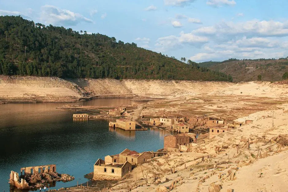
A university dive team just proved that an entire coastal community can vanish underwater and stay perfectly preserved for 8,500 years. This summer, divers descended about 8 meters (26 feet) below the waves close to Aarhus, Denmark’s second-biggest city, and pulled evidence of a Stone Age settlement straight off the seabed.
The sea rose so fast it outran the people living on it. About 8,500 years ago, sea levels climbed roughly 2 meters (6.5 feet) per century, according to lead archaeologist Peter Moe Astrup – fast enough to swallow a modern beachfront house within a single human lifetime. “Here, we actually have an old coastline. We have a settlement that was positioned directly at the coastline,” he said. Denmark’s drowned village turned out to be just a preview. Off the coast of France, something even older was waiting to be noticed.
#13 – Brittany’s Sunken Wall, Older Than Its Famous Neighbor
A geologist scanning seabed charts almost scrolled past the most important structure ever found off the coast of France. Yves Fouquet was studying seabed maps when something unusual caught his eye: a nearly 400-foot-long linear structure that clearly wasn’t a natural rock formation.
The wall predates one of Europe’s most famous megalithic sites. After years of investigation, archaeologists now believe hunter-gatherers built this stone wall more than 7,000 years ago – likely older than the Carnac Alignments, the dense field of standing stones nearby. When it went up, sea level sat 23 feet lower than today and the island it sat on was 14 times larger. One researcher on the project called it “a very interesting discovery that opens up new prospects for underwater archaeology.” A wall is one thing. An entire vanished country is another – and it’s sitting under the North Sea right now.
#12 – Doggerland, the Drowned Country Beneath the North Sea
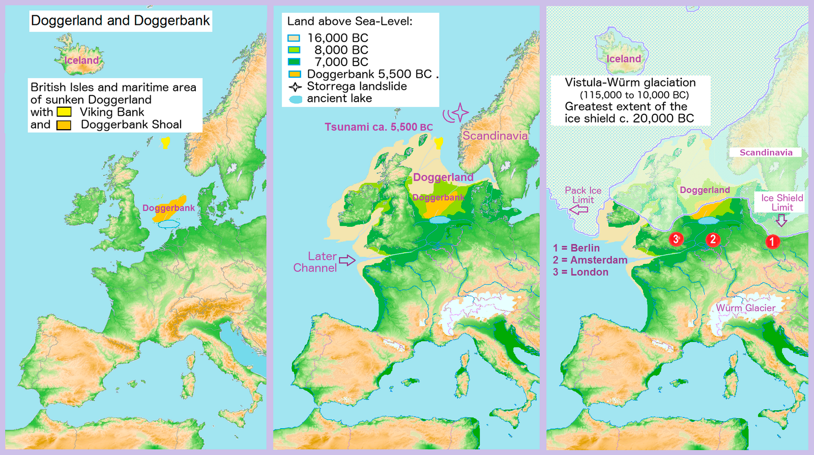
An entire landmass the size of a small nation used to connect Britain to mainland Europe, and fishing trawlers have been dredging up its secrets for decades. Long before anyone called it “Doggerland,” this stretch of the North Sea floor was open tundra and river valleys where Mesolithic hunter-gatherers tracked herds and built camps.
The flood didn’t nibble at the coastline – it erased a country. During the last glacial maximum, sea level sat some 425 feet lower than today; when the ice caps melted, the water rose abruptly and swallowed the land whole. Trawler nets still occasionally haul up worked flint tools and antler harpoons from open water, proof that people once lived, hunted, and buried their dead on ground that hasn’t seen sunlight in thousands of years.
Fast Facts
- Once linked Britain to mainland Europe across the North Sea floor
- Sea level sat roughly 425 feet lower during the last glacial maximum
- Trawlers still dredge up worked flint tools and antler harpoons
- Swallowed abruptly once Ice Age glaciers began melting
Doggerland disappeared in one abrupt geological gulp. Some caves recorded that kind of flood happening slowly instead, one mineral layer at a time.
#11 – The Mediterranean’s Sea Caves That Record Every Flood
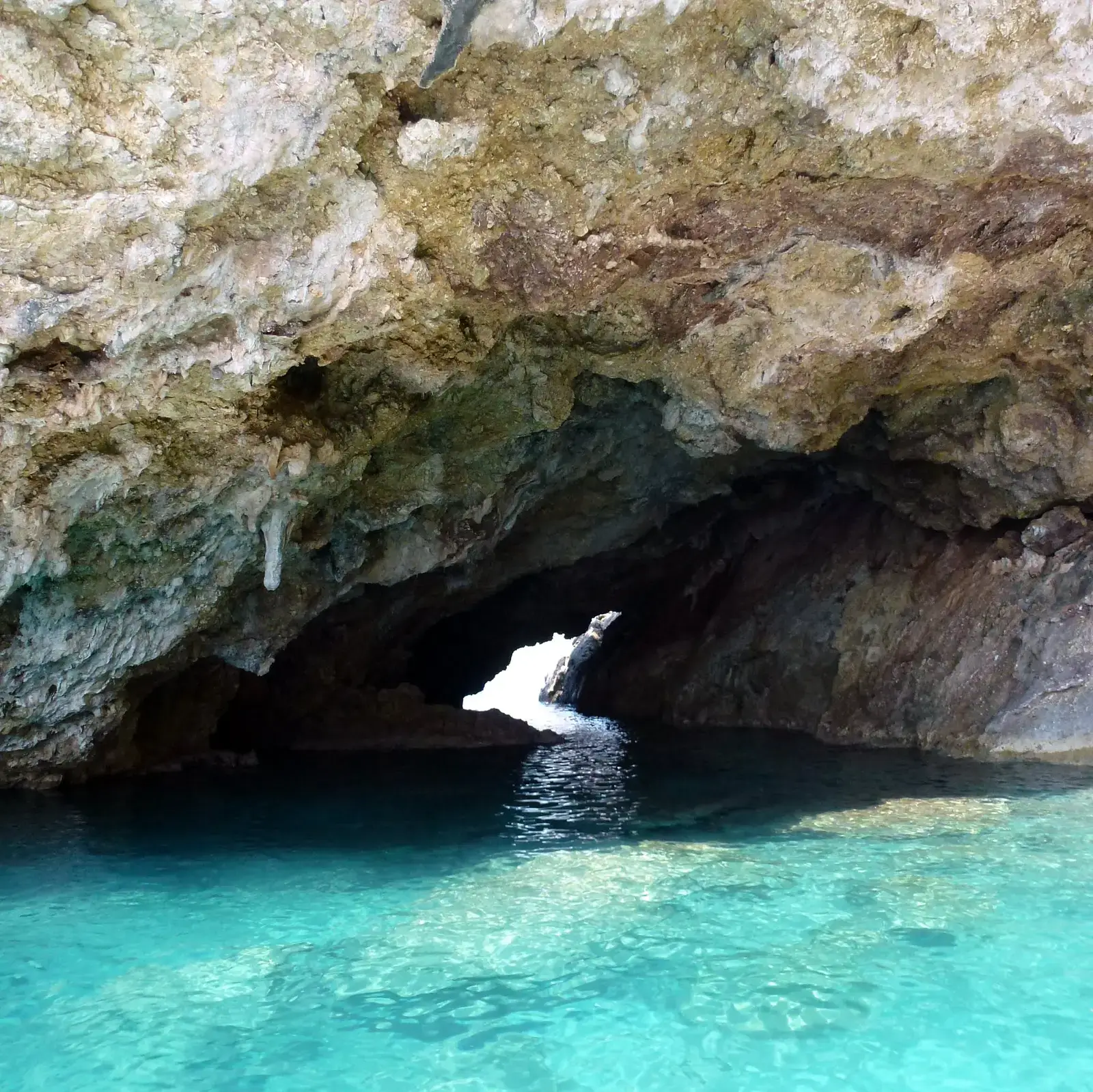
Some caves don’t need paint or carvings to leave a record – the rock itself keeps score. Scientists recently pulled 13 samples from eight caves along the Mediterranean coastline to build a timeline of ancient flooding events.
These mineral “markings” are natural tide gauges frozen in stone. The deposits only form in cave passages that were repeatedly flooded by seawater, and divers had to be specially trained just to reach them, searching for a formation called phreatic overgrowth on speleothems. Researchers date the layers using uranium decay rather than carbon, and the stakes go beyond curiosity: with nearly 40 percent of the world’s population living within 62 miles of a coast, understanding how fast the sea rose before could be the difference between a warning and a surprise. Nature kept score in stone. Humans, on the other hand, tried to fight back.
#10 – Tel Hreiz, the Village That Fought Back Against the Sea
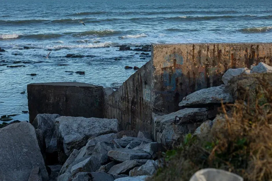
Before anyone had invented the wheel, a coastal community in what is now Israel built history’s first known seawall – and lost. Underwater investigations at the submerged Neolithic settlement of Tel Hreiz, off the Carmel coast, uncovered a linear, boulder-built feature more than 100 meters long, sitting just seaward of the village.
It’s the oldest known coastal defense on Earth. Researchers confirmed the wall was built at the same time as the settlement it protected, using large, non-local boulders arranged with real deliberation – a massive undertaking for a Neolithic community with no machinery. Despite that effort, the defense only bought time. The village was eventually inundated and abandoned anyway. The wall lost. But not every flooded chamber holds a defeat – some hold an entire frozen ecosystem instead.
#9 – The Blue Holes of the Bahamas, Nature’s Sealed Time Capsules
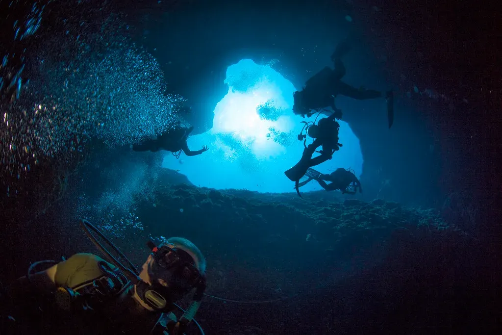
Some flooded chambers don’t hold human handiwork at all – they hold entire extinct ecosystems, locked away from oxygen and decay. The blue holes scattered across the Bahamian archipelago formed as dry limestone caves during past glacial periods, when sea level sat well below where it does today.
The chemistry inside is what makes the record so durable. Divers who descend into the lightless lower chambers find undisturbed sediment stacked like pages in a book, each layer a snapshot of a different climate era. A dense, oxygen-starved layer of water near the bottom acts as a natural preservative, protecting bones, pollen, and organic material for tens of thousands of years.
At a Glance
- Formed as dry limestone caves during past Ice Age glacial periods
- An oxygen-starved bottom layer acts as a natural preservative
- Sediment stacks like pages, each layer a different climate era
- One of the few places to read a near-continuous environmental record underwater
It’s one of the only places on the planet where scientists can read a near-continuous environmental record just by swimming deeper into the dark. Nature’s time capsules are impressive. On the other side of the planet, though, an entire culture proved their ancestors’ memory of the coastline was accurate all along.
#8 – Murujuga’s Sunken Sea Country, Australia
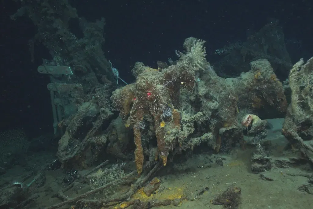
Traditional owners always said the ocean floor held their ancestors’ stories. In 2020, divers proved it. Researchers partnered with the Murujuga Aboriginal Corporation to locate ancient artifacts at two underwater sites off northwest Australia, and found hundreds of stone tools, including grinding stones, sitting exactly where oral history said they would be.
Nearly a third of an entire continent disappeared underwater. At Cape Bruguieres alone, the dive team mapped 269 artifacts in shallow water down to 2.4 meters below modern sea level, with radiocarbon dating and sea-level analysis putting the site at least 7,000 years old. At the end of the Ice Age, Australia’s coastline sat 160 kilometers farther offshore than it does now; as the ice melted, roughly two million square kilometers of land vanished beneath the waves. Lead archaeologist Jonathan Benjamin called it “the find of a lifetime.” That’s an entire lost coastline confirmed by living memory. The next chamber on this list confirms something by pure geometry instead.
#7 – The Great Blue Hole, Belize
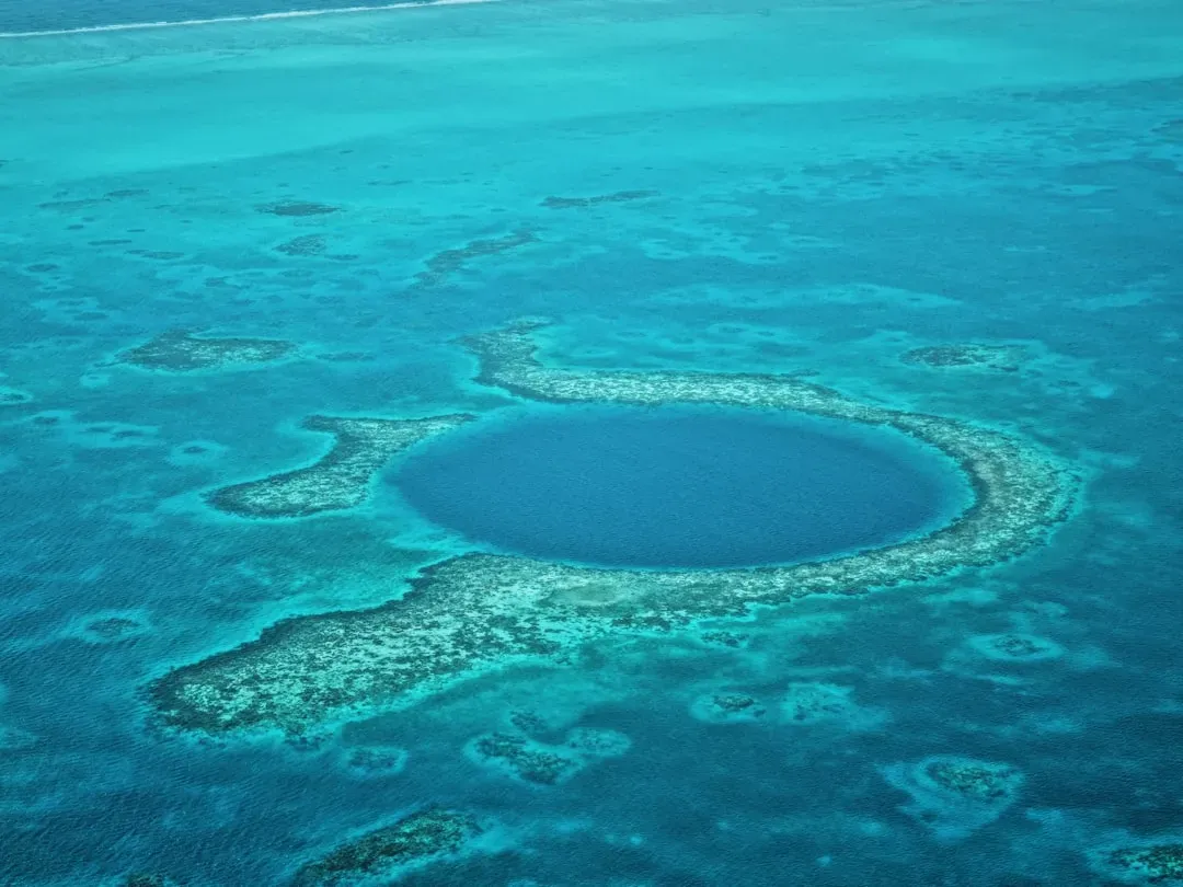
A perfectly round hole punched into a coral atoll turns out to be the collapsed roof of an Ice Age cave. Long before it became a bucket-list dive site, the Great Blue Hole was a dry limestone cavern riddled with stalactites, formed drip by drip over thousands of years while sea level sat far below the reef surrounding it today.
The stalactites inside are the real clue – and they’re tilted. Formations that once hung perfectly straight from a dry ceiling now angle sideways, evidence that the cave partially shifted or collapsed sometime after it formed but before the ocean pushed back in and drowned it.
Worth Knowing
- Roughly 300 meters (984 feet) across and about 124 meters (407 feet) deep
- Sits within Lighthouse Reef, part of the UNESCO-listed Belize Barrier Reef system
- Formed as a dry, stalactite-filled cave during the last Ice Age
- Now ranks among the most famous dive sites on Earth
It’s a chamber that essentially fossilized its own transformation from air to ocean. A tilted stalactite is a quiet kind of evidence. What divers found next in Mexico is anything but quiet.
#6 – The Yucatán’s Deliberately Placed Skeleton
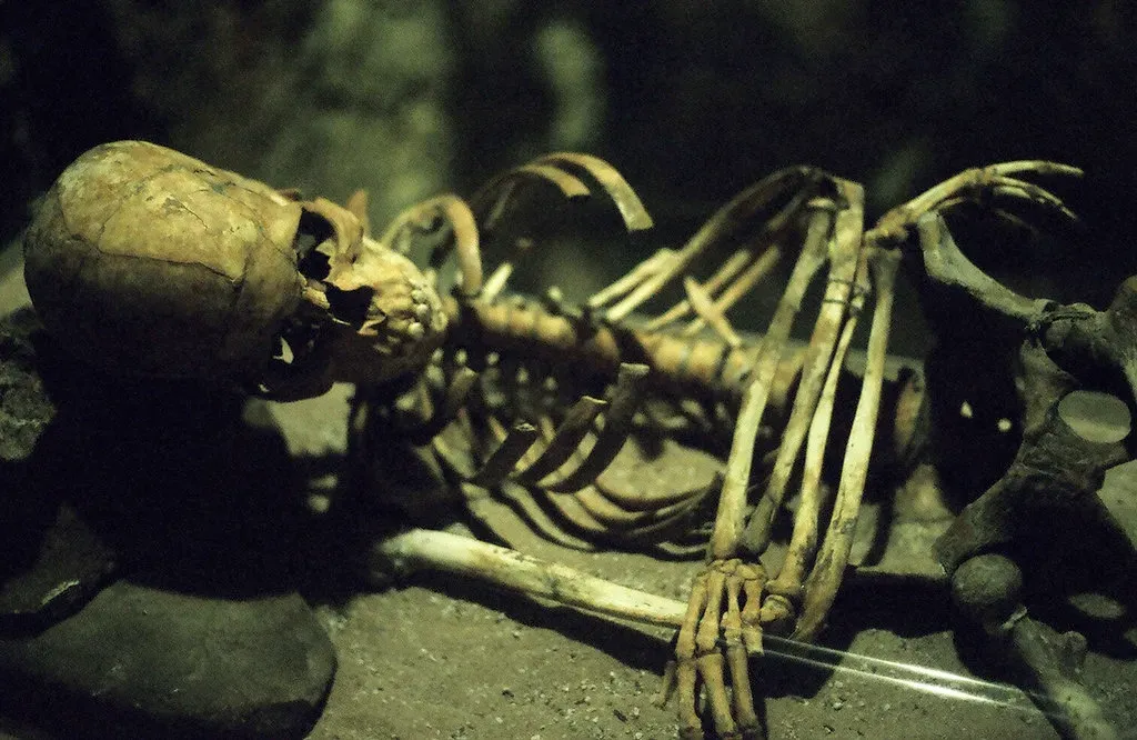
A set of human remains found deep inside a flooded Mexican cave wasn’t dropped there by accident – someone put them there on purpose. The cave passages, stretching kilometers under the Yucatán Peninsula, were dry toward the end of the last Ice Age but flooded roughly 8,000 years ago as sea levels climbed. The remains, recovered at the end of 2025, sat in a spot that made no sense for a fall.
Depth is the giveaway. The bones rested on a sediment dune tucked into a narrow space beside an interior chamber. According to underwater archaeologist Octavio del Río, “Given its location and depth, it could only have arrived there when the cave was dry.” That single detail turns a random bone scatter into a funerary decision made by someone standing on solid, sunlit ground where scuba divers now hover with lights. One deliberate burial is haunting enough. An entire ancient mining operation nearby is almost unbelievable.
#5 – Camilo Mina’s “Grand Canyon” Chamber, Quintana Roo
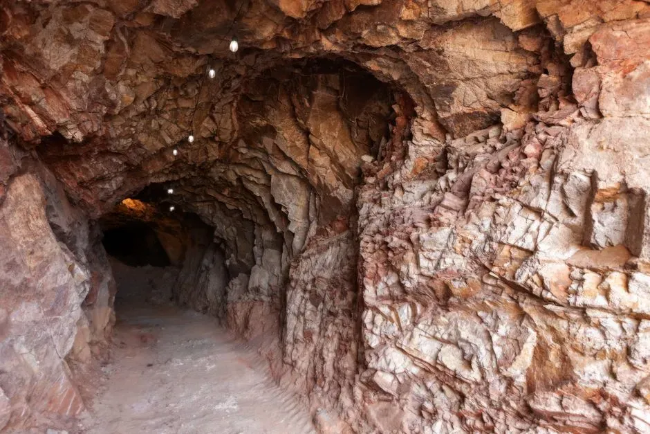
Deep inside a flooded Mexican cave system sits a mining operation that predates the pyramids of Giza by thousands of years. Researchers identified two additional sites, Camilo Mina and Monkey Dust, showing signs of ochre prospecting similar to the nearby La Mina site – all located within 30 kilometers of the famous Hoyo Negro pit.
Ancient miners left behind literal potholes as their signature. The mining chamber itself, nicknamed the “Grand Canyon,” sits roughly 670 meters from the cave entrance and is systematically pocked with rounded depressions about 1 to 2 meters wide, all cut to a consistent depth. That consistency is the tell – miners were chasing one specific layer of limestone, over and over, generations before written language existed. Camilo Mina proved the miners were organized. The site next door proved just how long they’d been doing this.
#4 – La Mina Roja, the Oldest Ochre Mine in the Americas
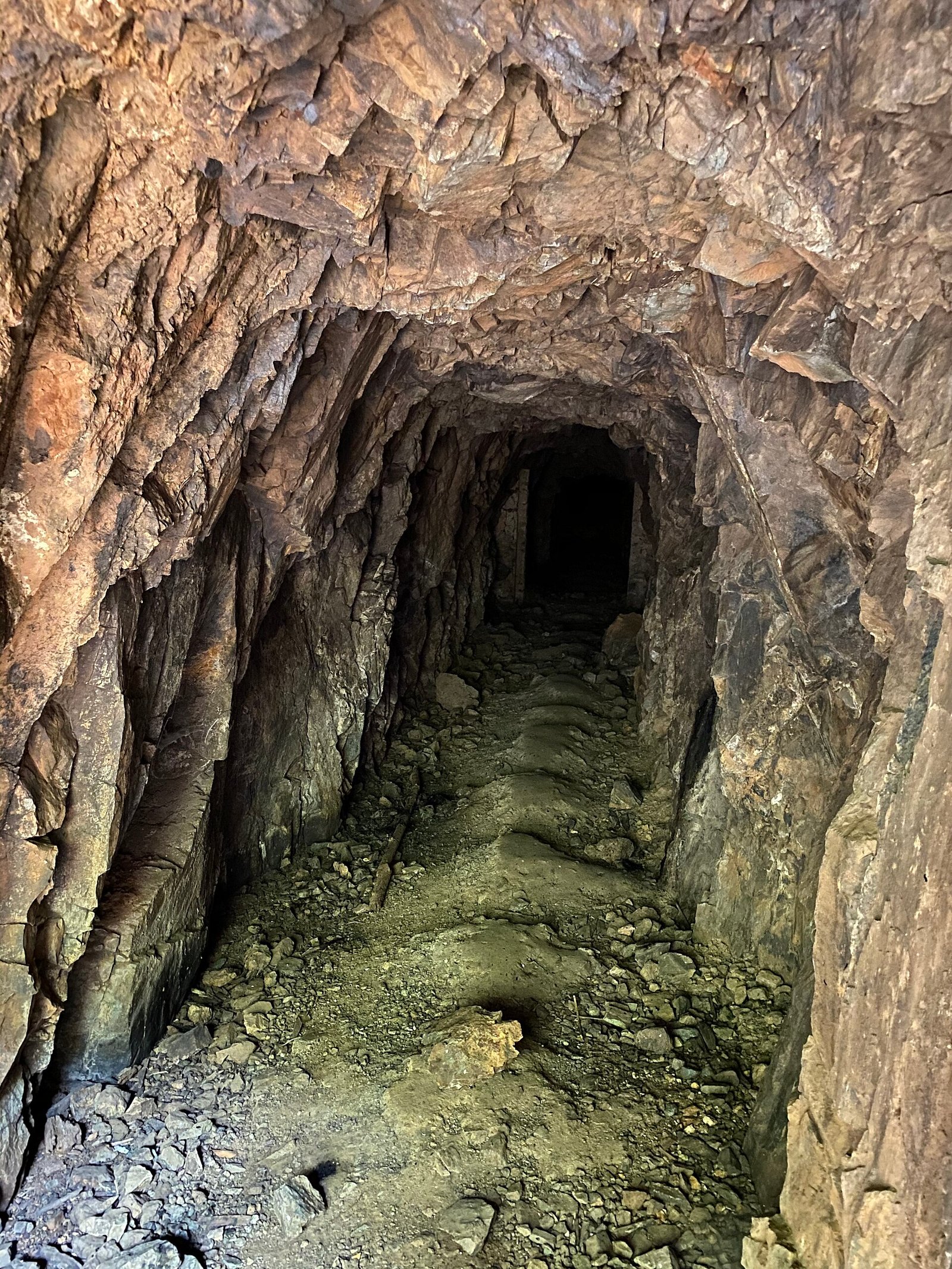
Divers exploring a pitch-black flooded tunnel in Mexico stumbled onto proof that the earliest Americans were sophisticated miners, not just wanderers. Researchers from the Centro Investigador del Sistema Acuífero de Q Roo confirmed this as the oldest ochre mine ever found in the Americas, used 10,000 to 12,000 years ago by some of the first inhabitants of the Western Hemisphere.
They even left trail markers, like an underground GPS made of stacked rock. Evidence of mining spans three cave systems over roughly 2,000 years, including extraction pits, digging tools made from cave formations, shattered flowstone debris, cairn navigational markers, and hearths. The ochre they were after – an iron-rich pigment tied to cave art worldwide – even contained enough arsenic to double as a possible insect repellent.
Why It Stands Out
- Oldest confirmed ochre mine in the Americas, used 10,000 to 12,000 years ago
- Mining evidence spans three separate cave systems over roughly 2,000 years
- Miners left cairn-style navigational markers deep underground
- The ochre itself contained enough arsenic to double as insect repellent
This wasn’t a lucky stumble onto a colorful rock. It was organized, repeated, and navigated with intention. These early Americans mined with purpose and left markers behind. Not every cave nearby was survivable, though.
#3 – Hoyo Negro, the Ice Age Death Trap
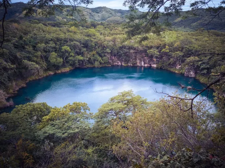
A bell-shaped pit deep inside a Mexican cave system became an accidental graveyard for an entire vanished ecosystem. Hoyo Negro, or “Black Hole,” is an enormous pit inside Sac Actun, the second-largest cave system in Quintana Roo. Animals that wandered in during the dry Ice Age apparently couldn’t climb back out, and their bones settled undisturbed for tens of thousands of years.
Nine individual bears alone were pulled from one chamber. “We have at least nine individual bears from the Hoyo Negro pit, and most of them are adults,” explained paleontologist Blaine Schubert. Divers also found fossil footprints attributed to bears in a nearby tunnel, alongside remains of an extinct short-faced bear species, Arctotherium wingei, and other large mammals dating between 38,000 and 13,000 years ago. Nine bears is a lot of bad luck for one pit. But the most important discovery down there wasn’t a bear at all.
#2 – Naia, the Girl Beneath the Water
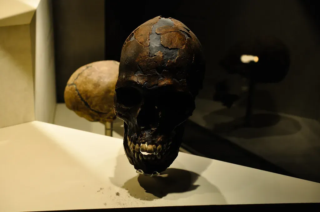
The most complete early human skeleton ever found in the Americas wasn’t dug from dirt – she was found floating in a flooded pit. Inside that same Hoyo Negro chamber, alongside giant sloths, gomphotheres, tapirs, and saber-tooth cats, researchers made a discovery that rewrote the story of how humans first reached the Americas: the nearly complete skeleton of a teenage girl now known as Naia.
She fell into a dry pit thousands of years before the ocean ever reached that part of Mexico. Even back then, the chamber that preserved her would have been a dangerous, lightless void disguised as solid ground. It took modern cave-diving gear, motorized scooters, and specially trained scientific divers just to reach the spot where she’d lain untouched since long before the coastline crept anywhere near the Yucatán. Naia rewrote the story of the first Americans. The final chamber on this list rewrote the story of Ice Age art itself.
#1 – Cosquer Cave, the Ice Age Gallery Under the Mediterranean
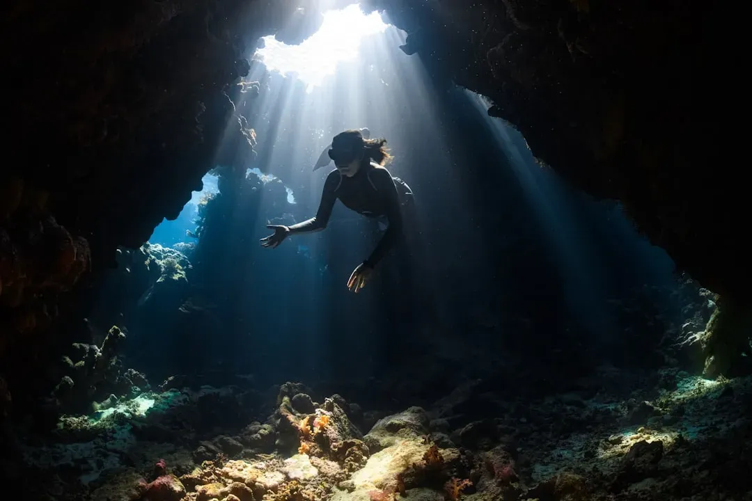
A single diver, guided by nothing more than a tip from a friend, found what may be the most important flooded art gallery on the planet – and it nearly cost other divers their lives. In 1991, Henri Cosquer went public about a cave he’d first discovered six years earlier, some thirty-seven meters beneath the Calanques massif between Marseilles and Cassis. During the last Ice Age, when the cave was inhabited, sea level sat 120 meters lower than today, and the shoreline lay several kilometers further out than it does now.
Humans visited this cave across two distinct eras, 27,000 and 19,000 years ago, painting and engraving roughly 200 animals from 11 species – penguins, horses, bison – alongside human figures, sexual symbols, and handprints. The tragedy is part of what makes it so rare: three divers lost their lives trying to reach it.
Because the cave walls that are today underwater were probably also once decorated, nothing else in Europe compares to its size.
Luc Vanrell, archaeologist
Water inside Cosquer Cave keeps creeping upward even now, which means the coastline outside its mouth is, in a strange way, younger than the paintings still drowning just beyond its reach.
The Bottom Line
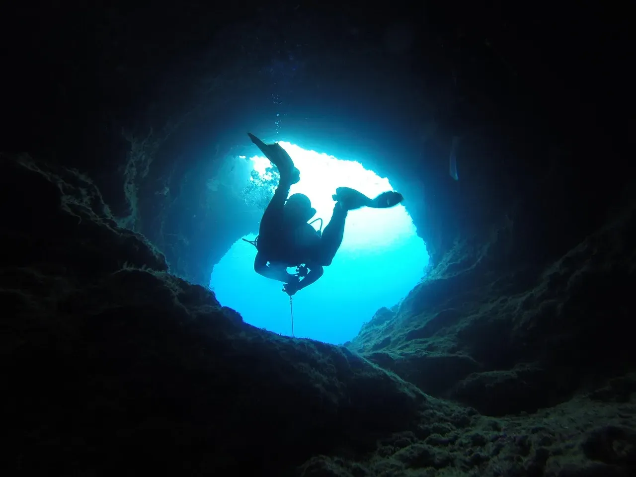
These 14 chambers prove something most people never think about: the coastline isn’t a fixed border. It’s a moving scar left by melting ice, and everything the ocean now covers was once somebody’s dry, walkable ground.
Whether it’s a hand stencil in Cosquer, a seawall at Tel Hreiz, or ochre miners’ potholes near Sac Actún, the pattern repeats itself over and over: humans lived, marked, mined, and buried right up to the edge of a world the water eventually took back. Frankly, treating underwater archaeology as some niche curiosity feels like a mistake – some of the most important human history left on the planet is sitting in the dark right now, still waiting for someone with a dive light to find it. Which of these 14 surprised you the most?