
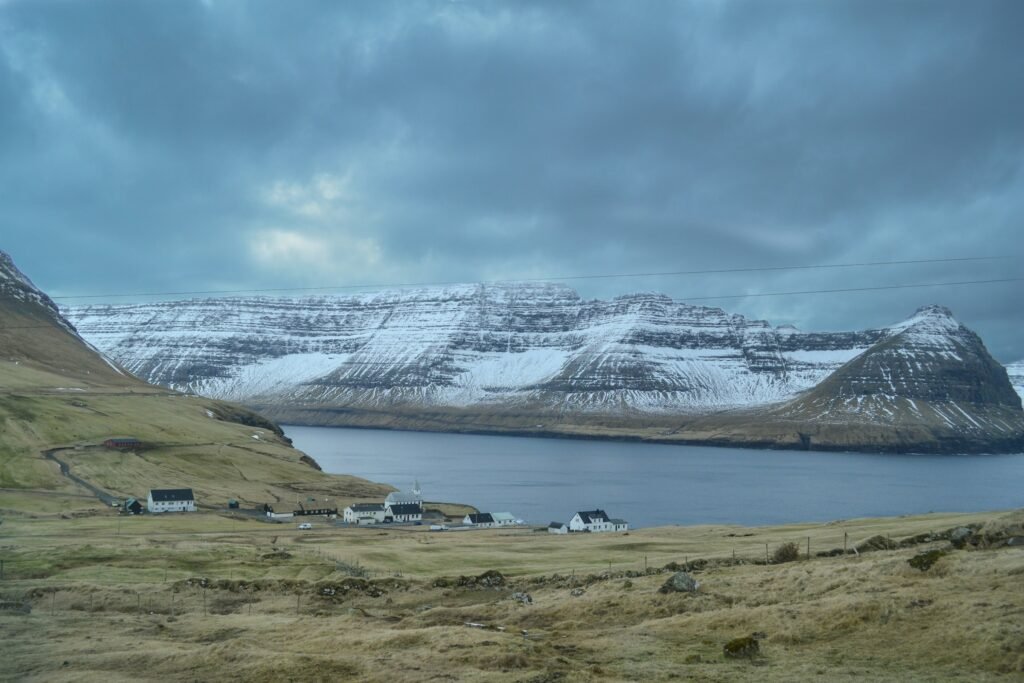
Most people assume old-timers who forecasted snow by “reading the sky” were just superstitious farmers guessing at luck. Actually, long before radar and satellite imagery, generations of sailors, shepherds, and homesteaders were quietly running their own atmospheric science lab using nothing but their eyes and the horizon.
They noticed patterns in cloud shape, sky color, and light behavior that modern meteorologists have since confirmed are tied to real physics – ice crystals, warm fronts, and shifting barometric pressure. Turns out, grandpa’s weather predictions weren’t folklore nonsense at all. Here’s what those old sky-watchers actually looked for before the first flakes fell.
#1 – The Ring Around the Moon
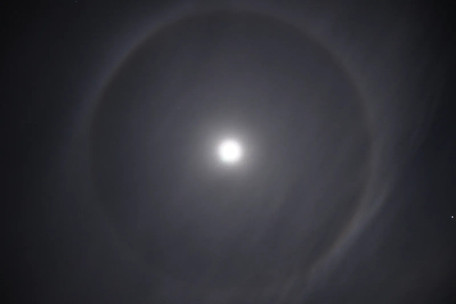
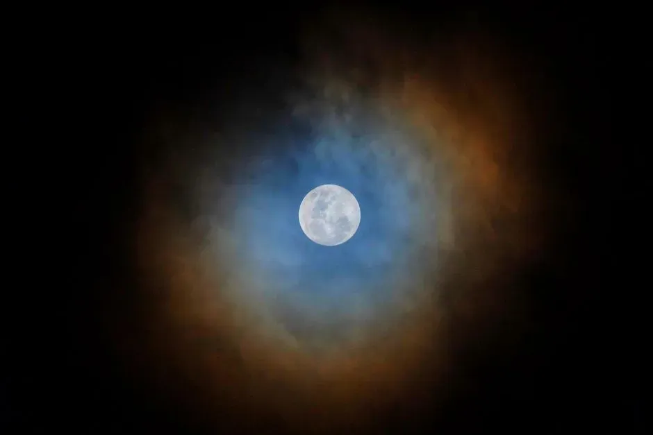
Old-timers considered a hazy ring circling the moon one of the most trustworthy signs in their entire weather playbook. The saying passed down through generations was blunt and simple: a ring around the sun or moon means rain or snow is coming soon, and a lunar halo is a sign of unsettled weather.
The science backs up the old wisdom more than most people expect. Moon halos form when light refracts off ice crystals in a thin layer of cirrus clouds, sometimes called 22-degree halos because the light bends at a 22-degree angle. Those wispy cirrus clouds don’t just float around for fun – they’re usually the calling card of an approaching weather system.
Fast Facts
- Halo-producing cirrus clouds typically drift 20,000 to 25,000 feet above the ground
- The “22-degree halo” gets its name from the precise angle at which ice crystals bend incoming light
- Halos can circle both the sun and the moon, though moon halos are fainter and easier to spot after dark
- A visible halo often means a weather system is still 12 to 24 hours out
This isn’t just something old-timers made up, either. The halo-then-precipitation link shows up consistently enough that meteorologists today still call it one of the more scientifically sound pieces of weather folklore, especially heading into fall, winter, and spring. Old-timers weren’t tracking pressure gauges. They were tracking ice crystals thousands of feet overhead, and they didn’t even know it.
The most surprising part? This is one of the only pieces of folklore that meteorologists today still openly endorse as scientifically sound.
#2 – The Mackerel Sky Overhead

Sailors and farmers alike watched for a peculiar cloud pattern they nicknamed the “mackerel sky” – rippled clouds resembling fish scales stretched across the horizon. A mackerel sky is a formation of cirrocumulus or altocumulus clouds that look like the pattern of scales on a mackerel’s back: small puffy patches lined up in rippled rows across a wide stretch of sky.
Generations passed down a rhyme to remember it, and the couplet has survived largely intact: mackerel sky, mackerel sky, never long wet and never long dry. That little jingle wasn’t just cute wordplay. It was a genuine forecasting tool.
The timing behind this sign is oddly specific. When these high clouds progressively invade the sky and the barometric pressure begins to fall, precipitation associated with the disturbance is often just 6 to 12 hours away. Most people assume old weather sayings were vague – this one came with an actual countdown clock.
Old-timers who spotted this pattern in the late afternoon knew to get the livestock fed and firewood stacked before nightfall. It wasn’t guesswork – it was a deadline written across the sky.
#3 – Sundogs and Rings in Daylight
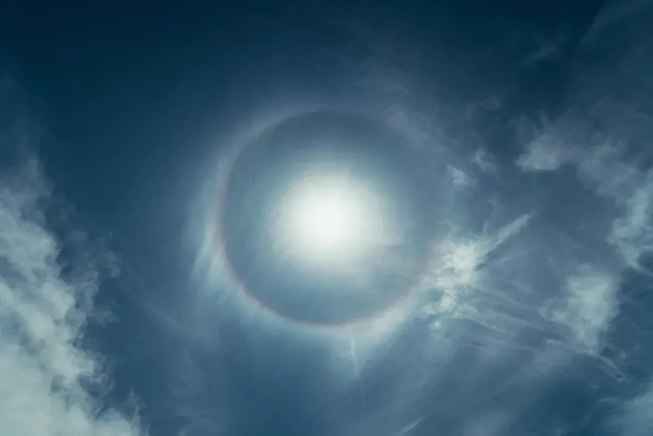
While the moon halo gets most of the modern attention, old-timers paid just as much respect to its daytime cousin – the sun halo, along with the strange bright patches called sundogs that sometimes flank it. A sun halo is the pale, ghostly rainbow ring that occasionally appears around the sun.
Farmhands crossing open fields at midday would glance up, spot the faint ring, and immediately start planning for weather within the day. It’s one of the most striking sky phenomena you can see without a telescope, and it’s a reliable forecast for rain or snow within roughly 24 hours – a remarkably tight window for something first noticed centuries before Doppler radar.
Sundogs themselves – those bright glowing spots on either side of the sun – were considered an even stronger tell. Sundogs, or parhelia, are bright patches that appear on the halo to the left and right of the sun. Old-timers treated a double sundog sighting as practically a guarantee that snow was on its way within a day or two.
Modern forecasters still watch for the same optical effect – they just have better instruments to confirm what the naked eye already suspected.
#4 – Black Clouds Piling in the North
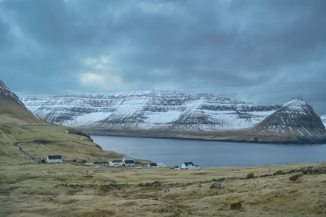
Not every warning sign was subtle. Sometimes the sky just turned ominous, and old-timers knew exactly what that meant in the dead of winter: black clouds building in the north signaled approaching snow.
This sign carried extra weight specifically because of direction. A dark bank of clouds building along the southern horizon in summer often meant a passing thunderstorm. But a similar mass gathering to the north during the cold months was treated as a completely different animal – heavier, slower, and far more dangerous for anyone caught outdoors.
Quick Compare
- Summer, southern horizon: Usually a fast-moving thunderstorm that clears within an hour or two
- Winter, northern horizon: Usually a slower system loaded with cold air and heavy moisture
- Typical duration: Southern summer storms often pass in under an hour; northern winter systems can linger half a day or more
- Old-timer response: Grab an umbrella for the summer version, secure the whole homestead for the winter one
Farmers who spotted this sign moved fast. Livestock got herded into barns, wagon wheels got checked, and lanterns got filled with oil in case the storm knocked out daylight early. The old-timers weren’t being dramatic – northern winter cloud banks really were the visual signature of Arctic air colliding with moisture, exactly the recipe that produces heavy snowfall.
Secretly, this remains one of the simplest and most accurate signs on this entire list – no instruments required, just a glance toward the horizon.
#5 – The Unnatural Clearness Before the Storm

Here’s a sign that trips up almost everyone who hears it for the first time, because it sounds completely backward. Old-timers actually grew suspicious when the air turned unusually crisp and clear. Unusual clearness in the atmosphere, with distant objects seen distinctly, was said to indicate rain – and in winter, that same clarity often preceded snow.
The logic isn’t as strange as it sounds once you think about air pressure. A drop in barometric pressure ahead of an approaching storm can scrub dust and haze particles out of the lower atmosphere temporarily, giving the sky a deceptively sharp, almost glassy look right before conditions deteriorate.
Old-timers who noticed distant mountains, tree lines, or church steeples looking oddly sharp and close would comment on it specifically. It wasn’t a good sign – it was often the calm, deceptively pretty prelude to trouble. Most people today assume a gorgeous, crystal-clear sky always means good weather ahead – old-timers knew it was sometimes the opposite.
This friction point still divides amateur weather-watchers today, and honestly, it’s worth arguing about over coffee.
#6 – A Dull, Dishwater-Colored Sky
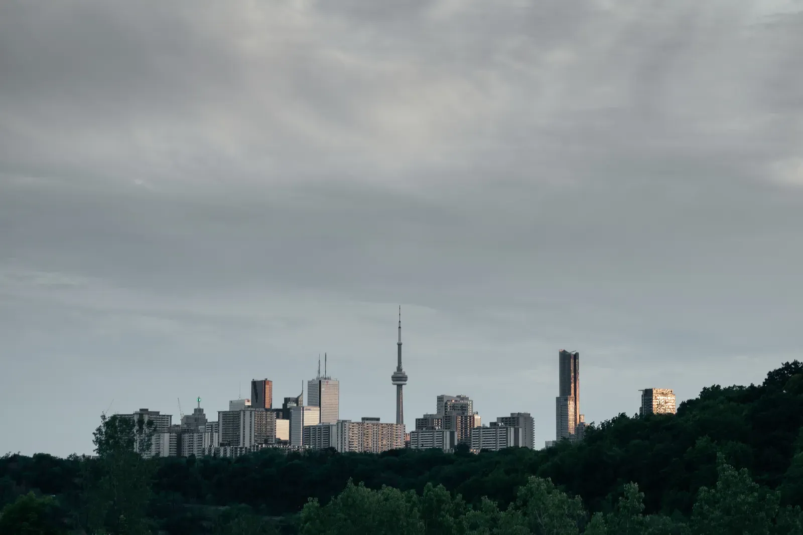
Long before storms arrived, old-timers described a specific flat, grayish-yellow tint to the sky that they simply called a “dishwater sky.” It wasn’t dramatic or dark – just dull, even, and strangely lifeless looking, like the light itself had lost its sparkle.
This color shift comes from thick, uniform layers of moisture-laden cloud – what meteorologists now classify as nimbostratus – scattering sunlight evenly instead of letting it filter through in patches. When that even gray blanket settles in during the colder months, it almost always signals that a steady, prolonged snow event, rather than a quick passing flurry, is building overhead.
Old-timers distinguished this carefully from an ordinary overcast day. A dishwater sky had a particular flatness to the light – no shadows, no glare, no variation. Farmers who saw this described it as the sky “losing its shine” hours before the first flakes appeared, and treated it as more reliable than any cloud shape alone.
This is a controversial one among modern weather hobbyists – some dismiss it as pure anecdote, but the physics of even-layer cloud scattering supports the pattern well.
#7 – High Clouds That Thicken and Sink
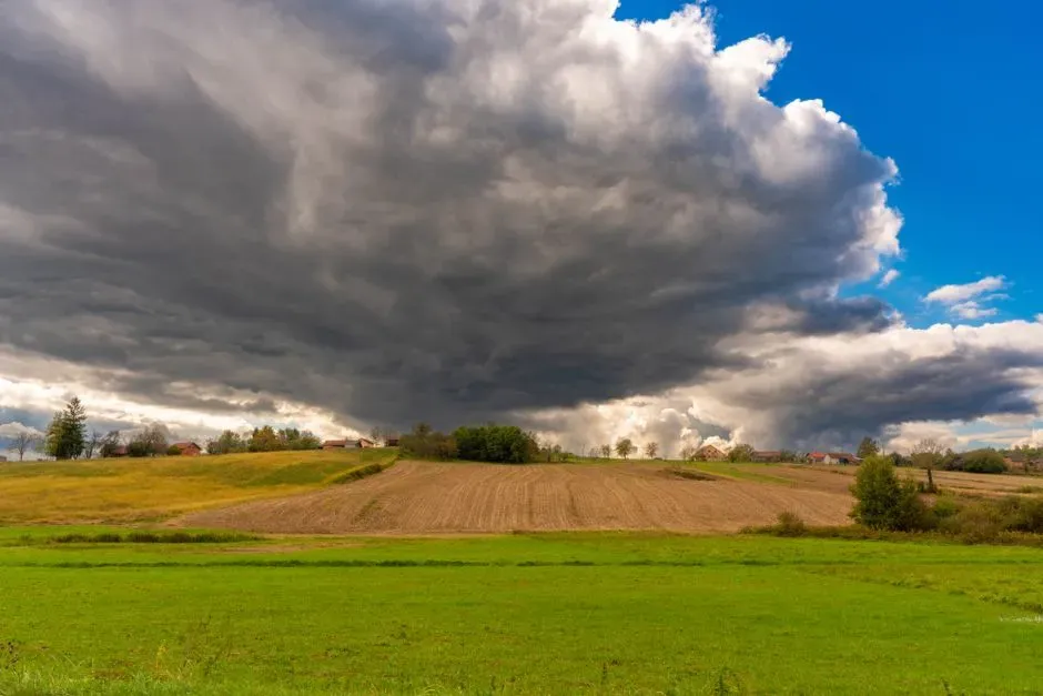
This next sign required patience, because it wasn’t about a single glance skyward – it was about watching the sky change over several hours. Old-timers who saw thin, wispy clouds high overhead knew to keep checking back throughout the day. A ring around the moon usually indicates an advancing warm front, and under those conditions, high, thin clouds get lower and thicker as the hours pass.
Modern meteorologists describe the exact same process in nearly identical terms: watch whether those thin, wispy cirrus clouds gradually lower and thicken through the day. If they do, snow or rain is probably on the way – the same rule old-timers followed with nothing but a lawn chair and patience instead of a satellite loop.
At a Glance
- Stage 1 – Cirrus: Thin, wispy, high-altitude ice clouds that barely dim the sun
- Stage 2 – Altostratus: A gray-white veil thick enough to blur the sun’s outline
- Stage 3 – Nimbostratus: A thick, dark, low layer that finally delivers steady snow or rain
- Timeline: This full progression often plays out over 12 to 24 hours
This progression – thin cirrus giving way to thicker altostratus, which eventually sinks into snow-bearing nimbostratus – is one of the most textbook-accurate pieces of old weather lore on record. Old-timers essentially tracked an entire warm-front invasion using nothing but patience and a lawn chair.
They’d check the sky at breakfast, again at midday, and again before supper, watching the ceiling drop lower each time until there was no doubt left.
#8 – The Hush That Falls Before Snow
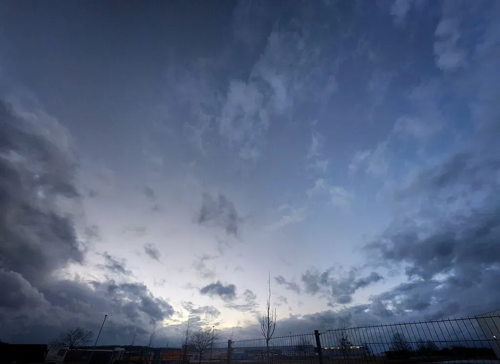
Old-timers frequently described an eerie stillness settling over the land in the hours before a big snow – not just visually, but in the overall feel of the sky. Wind that had been gusting for days would suddenly go dead calm, and the light itself seemed to flatten and dim uniformly.
This “hush” wasn’t imagined. It’s tied to the transition zone between a retreating high-pressure ridge and an advancing low-pressure system – a brief lull that often occurs right at the handoff between calm and storm. Old-timers who felt that unnatural quiet settle in would immediately start double-checking their preparations.
Many old-timers swore they could feel a storm coming in their joints or in the sudden stillness of farm animals. The biology behind that is debated, but the atmospheric stillness itself is a genuinely documented pre-storm phenomenon tied to relaxing pressure gradients.
This is easily the most argued-over sign on the list – some call it real atmospheric science, others call it pure imagination. Drop your take in the comments, because old-timers were split on it too.
#9 – A Coppery or Reddish Winter Sky
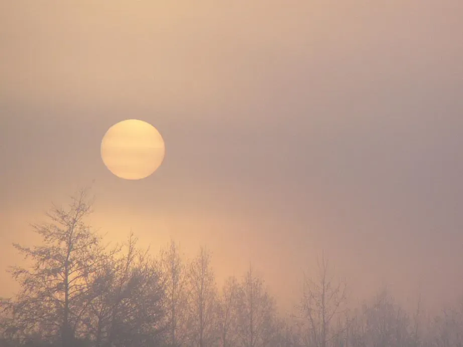
Everyone knows the classic rhyme about red skies at night and morning, but few realize old-timers applied a specific winter twist to it. Red sky at night, sailor’s delight; red sky at morning, sailors take warning.
The reasoning holds up scientifically, and it’s tied directly to particle scattering in the atmosphere. Reddish colors mean the air is dusty and dry, trapped by high pressure. At sunrise and sunset, light passes through more atmosphere, scattering blue light and leaving only red when there are more particles in the air.
Because most weather systems in North America travel west to east, the direction of that red glow mattered enormously to old-timers. A red sky at sunset indicates dry air moving in from the west, which brings good weather. The opposite is true with a red sunrise in the east – the high-pressure system has already moved past, and a storm system usually follows behind it.
Worth Knowing
- Red skies form when sunlight travels through more atmosphere and scatters blue light, leaving red behind
- Most U.S. weather systems move west to east, which is why direction matters as much as color
- A red sunset usually means dry, settled air is arriving; a red sunrise usually means it has already left
- In winter specifically, a coppery sunrise was treated as a snow warning, not just a rain warning
In winter, a coppery morning glow specifically became a snow warning, not just a rain warning – and old-timers treated a bright red winter sunrise as one of their most urgent signals to finish outdoor chores fast.
#10 – Stars That Blaze Too Bright, Then Blur
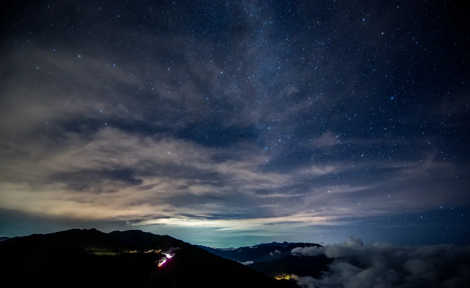
Clear winter nights offered old-timers one more subtle clue hiding in plain sight – the behavior of starlight itself. On certain nights, stars appeared unusually sharp and brilliant, almost aggressively twinkling, only to grow hazy and dim within hours.
This flickering, known technically as scintillation, intensifies when upper-atmosphere turbulence increases – often a signature of jet stream activity ahead of an approaching front. Old-timers who noticed stars “dancing” more violently than usual, followed by a gradual blurring or disappearing of fainter stars altogether, took it as an early warning that moisture and instability were creeping in overhead, even while the ground-level sky still looked perfectly clear.
This sign required real practice to read correctly, since ordinary twinkling happens every night to some degree. Old-timers who lived their whole lives under the same patch of sky developed almost an intuitive baseline for what “normal” starlight looked like versus “storm” starlight.
Few people today have dark enough skies left to even attempt this kind of reading anymore – light pollution has quietly erased one of the oldest forecasting tools humans ever had. Roughly 80 percent of North Americans now live under skies too bright to see the Milky Way, let alone track subtle changes in starlight.
#11 – The Sky “Closing In” Low Over the Horizon

Perhaps the most visually dramatic sign old-timers watched for was the sky physically appearing to drop and press down toward the earth. Distant hills or tree lines that were normally visible would slowly vanish into a gray haze, as the cloud ceiling lowered hour by hour.
This “closing in” effect happens when a thick deck of low stratus clouds – often loaded with moisture ahead of a snow event – descends toward the surface as temperature and humidity conditions align. Old-timers described it almost like a lid slowly settling onto the world, swallowing up ridgelines and rooftops from the outer edges inward.
Unlike some of the subtler signs on this list, almost nobody misread this one. It was impossible to ignore once the horizon itself started disappearing. Livestock got moved, roads got checked, and lamps got trimmed for an early dark.
This remains one of the few weather signs that translates perfectly from 1890 to today – pilots, hikers, and storm chasers still use “the ceiling is dropping” as shorthand for exactly this phenomenon.
#12 – The Color of Dawn
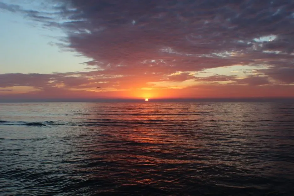
The final and, according to many old-timers, most dependable sign of all came from watching precisely how the sun rose. A high dawn meant wind was coming, while a low dawn meant fair weather was on the way.
This distinction referred to where the band of color appeared relative to the horizon. A “high dawn” showed color starting well above the horizon line with a gap of clear or dark sky underneath – a pattern old-timers linked to approaching wind and instability. A “low dawn,” by contrast, hugged the horizon tightly with no gap, a much calmer signature.
Combined with color, the sign became even sharper. Evening red and morning gray were considered sure signs of a fine day, while evening gray and morning red meant you’d better put on your hat before you got wet. Applied to winter mornings specifically, a high, reddish dawn was treated as one of the strongest signals that snow – not just rain – would arrive by nightfall.
Old-timers trusted this sign above almost every other on this list, because unlike halos or star-blur, everybody could see it, every single morning, without exception.
The Bottom Line
Old-timers weren’t superstitious – they were quietly running field-tested atmospheric science decades before satellites existed. The ring around the moon, the mackerel sky, and the color of dawn all hold up under modern meteorological scrutiny, tied directly to ice crystals, warm fronts, and shifting pressure systems.
Some signs, like the eerie pre-storm hush, remain genuinely debated even among experts today – and honestly, that’s part of what makes this list so much fun to argue about. What’s clear is that generations of sharp-eyed observers built a surprisingly accurate forecasting system using nothing but patience and a willingness to actually look up.
We’ve traded that skill for phone notifications, and something got lost in the trade. Which of these old signs have you heard from your own grandparents – and which ones do you think are pure myth? Drop it in the comments.