
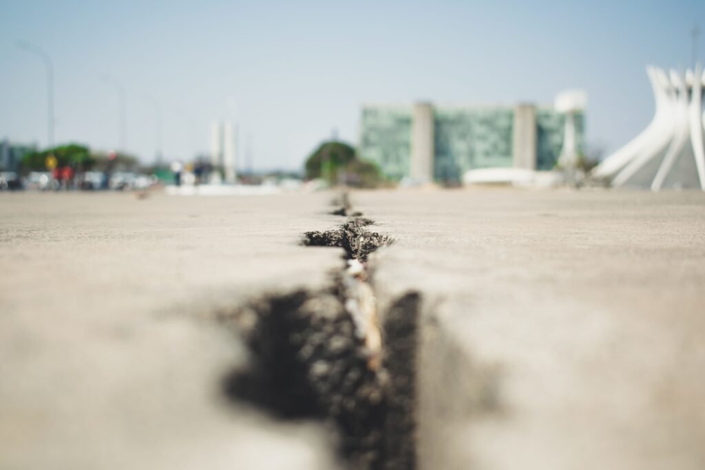
Most people assume the ground beneath a city is the one thing they never have to worry about. Foundations, they figure, are forever. But new satellite radar data reveals that dozens of major American cities are quietly sinking, shifting, or cracking apart millimeter by millimeter every single year – and most residents have no idea it’s happening under their own driveways.
Some of it comes from ancient fault lines that never really stopped moving. Some of it comes from something far more mundane: pumping too much water out of the ground. Either way, the concrete under your feet in Houston, New Orleans, or San Francisco isn’t nearly as stable as the skyline suggests. Here’s what geologists and satellite data actually say.
#1 – Houston, Texas
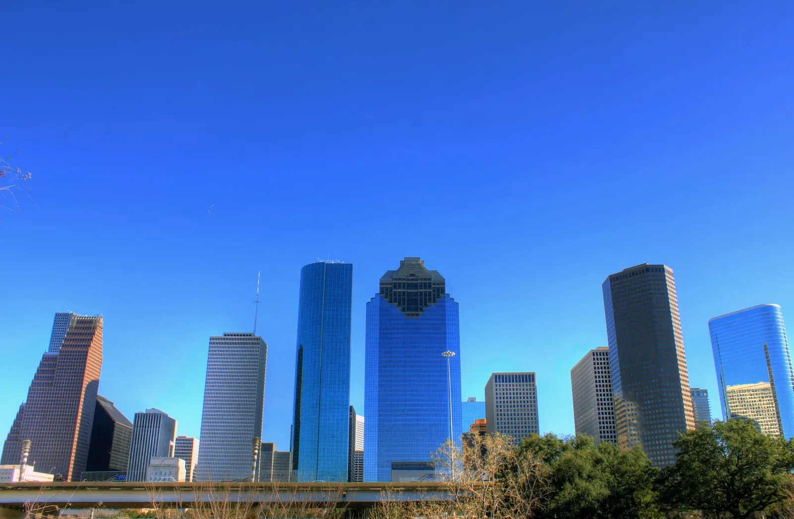
Houston isn’t just flood-prone – it’s the fastest-sinking major city in the entire United States, and the numbers are staggering.
A landmark satellite study published in the journal Nature Cities found that 42% of Houston’s land area is sinking about one-fifth of an inch every year, with 12% of the city sinking at more than double that rate. The cause isn’t a fault line – it’s decades of aggressive groundwater pumping. Houston pulled most of its water straight from the ground through the 1950s to the ’70s, and the land has been paying for it ever since.
Suburbs like Katy have it even worse. The highest current subsidence rate – roughly 3 centimeters a year since 2020 – shows up in the Katy area of Fort Bend County. Zoom out to the wider region and the historical damage is almost unbelievable: since 1836, groundwater withdrawals have caused about 3,200 square miles of the Houston-Galveston area to subside more than a foot, with some pockets sinking as much as 12 to 13 feet.
Fast Facts
- 42% of Houston’s land area sinks roughly 1/5 inch per year
- Katy area subsidence hits ~3 cm annually since 2020
- 3,200 sq. miles regionwide have sunk over a foot since 1836
- Some pockets have dropped as much as 12 to 13 feet total
Here’s the part nobody likes to talk about: many Houston-area developers keep building in these zones anyway, betting that subsidence districts will catch up with regulation before the next flood does. That’s a gamble homeowners rarely get told about at closing. And Houston isn’t even the scariest sinking city on this list.
#2 – New Orleans, Louisiana
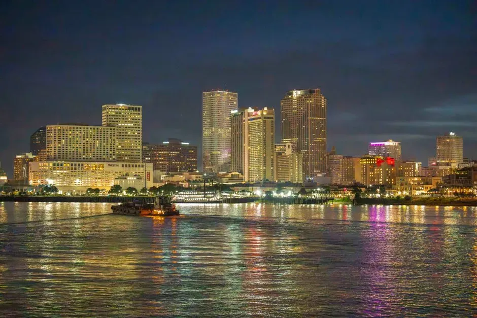
If Houston is sinking fast, New Orleans is sinking in a way that could redefine whether the city is livable within a generation.
A 2025 Tulane University study using satellite radar found something alarming: some neighborhoods, wetlands, and even sections of floodwalls are losing elevation by more than an inch a year, with a few spots dropping nearly two inches annually. Worse, the very infrastructure meant to protect residents is sinking too. In some cases, parts of the Hurricane and Storm Damage Risk Reduction System are losing elevation faster than sea levels are rising – quietly shrinking their own ability to block a storm surge.
This isn’t a new discovery. Back in 2006, researchers already found the city sinking an average of 6 millimeters a year, with spikes up to 29 millimeters near the levees. Two decades later, the problem hasn’t slowed down. It’s spread.
The geography makes it worse than almost anywhere else in the country. Much of New Orleans sits between 1 and 3 meters below sea level, with some areas dipping even deeper. The city essentially functions like a bowl that needs pumps running around the clock just to stay dry on an ordinary sunny day. Some scientists have gone as far as calling parts of the outer parishes unsuitable for future rebuilding.
#3 – San Francisco Bay Area, California
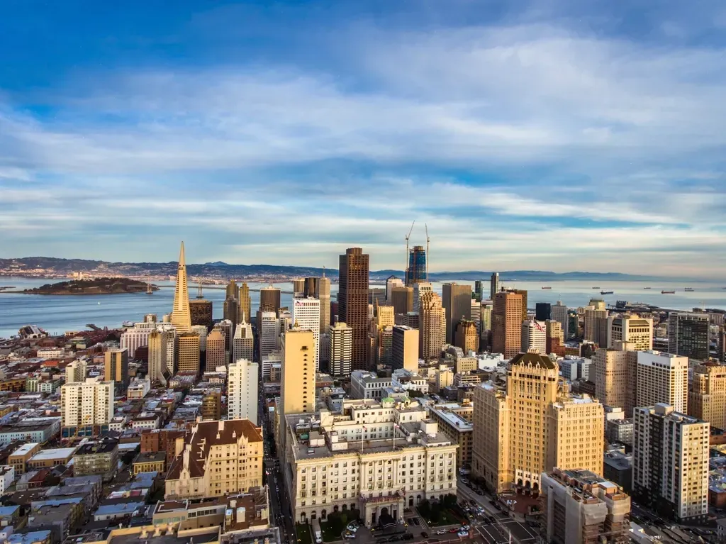
San Francisco doesn’t just sit near a fault line – huge chunks of the city were literally built on ground that turns to soup during a strong earthquake.
The technical term is liquefaction, and it’s a nightmare scenario for engineers. The highest hazard zones are concentrated in man-made landfill, especially fill dumped decades ago in areas that used to be submerged bay floor. That includes some of the most expensive real estate in the country – the Marina, Fisherman’s Wharf, Dogpatch, and South of Market all sit inside these mapped danger zones.
The 1989 Loma Prieta earthquake proved exactly how deadly this can be. Part of the Cypress Street Viaduct, the freeway approach to the Bay Bridge from Oakland, collapsed during the quake and killed 42 people – specifically because that stretch of roadway sat on soft mud instead of bedrock.
And this isn’t some rare, isolated risk pocket. Roughly a quarter of the San Francisco Bay region falls into the “Very High,” “High,” or “Moderate” liquefaction categories, covering about 25% of the nine-county region. Millions of people go to work every day on ground that geologists have literally flagged as likely to liquefy in the next major quake. Real estate agents rarely mention it, but honestly, they should.
#4 – New York City, New York
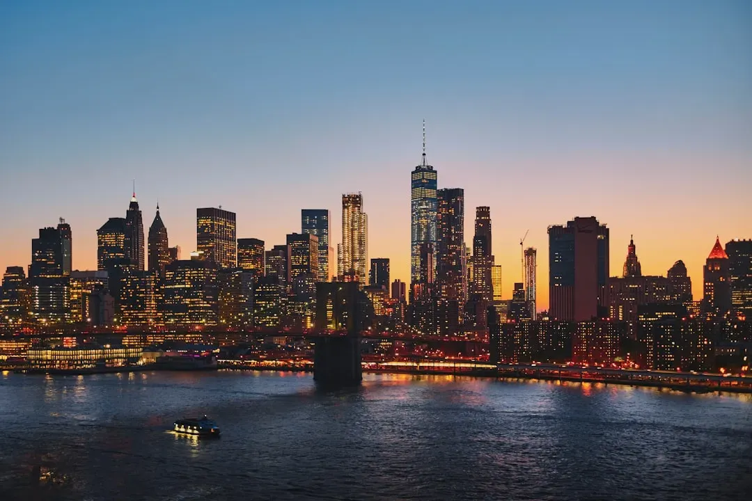
New York is supposed to be built on solid Manhattan schist bedrock – and in the core of the island, that’s true. The rest of the five boroughs tell a very different story.
Much of New York City is slowly sinking, with hot spots clustered around LaGuardia Airport, Rikers Island, Jamaica Bay, and parts of Staten Island. These are the exact areas built on filled-in marshland and reclaimed wetlands decades ago – soft ground that never fully compacted and is still settling today.
The rate sounds small, but it adds up fast. Houston, Fort Worth, Dallas, New York, and Chicago are all sinking at more than 2 millimeters a year. That number doesn’t sound dramatic until you multiply it across a century of infrastructure that was never designed to shift at all.
Quick Compare
- Houston: fastest overall, driven by groundwater pumping
- Fort Worth & Dallas: clay-soil driven subsidence
- New York City: filled marshland around LaGuardia and Jamaica Bay
- Chicago: soft glacial-lakebed soil under downtown
- All five metros: sinking at more than 2mm per year
The runways at LaGuardia sit on some of the most unstable ground in the entire metro area, which is a strange thing to consider given how many flights take off there daily. Combine that with rising sea levels and the math turns uncomfortable fast – sinking land plus rising water is exactly the combination that turns minor flooding into major flooding.
#5 – Dallas-Fort Worth, Texas
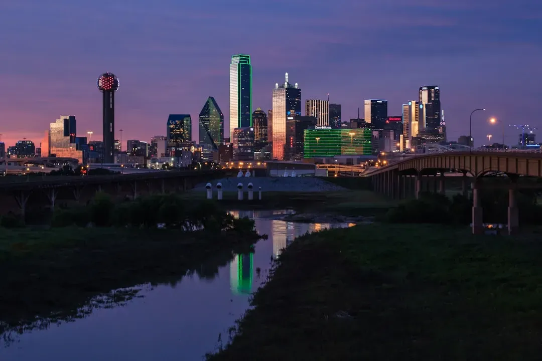
Texas doesn’t just have one sinking city – it has an entire sinking metro corridor, and Dallas-Fort Worth is quietly one of the worst offenders.
Dallas and Fort Worth are experiencing rapid subsidence tied to both groundwater extraction and clay-rich soils, and that clay is the detail most people overlook. Unlike sandy soil, clay-heavy ground swells when wet and shrinks dramatically when dry, creating a constant expand-and-contract cycle that slowly destabilizes foundations over years.
Researchers have specifically flagged this metro as a national hotspot for exposure. An estimated 1.1 million people – including residents of Houston, Los Angeles, Fort Worth, Las Vegas, and Dallas – live in areas experiencing subsidence greater than 3 to 5 millimeters per year. That’s not a fringe number tucked into a footnote; that’s over a million people living directly in the highest-risk subsidence category in the country.
Most homeowners in the DFW suburbs have never heard the word “subsidence” despite living directly on top of it. Foundation repair companies in North Texas do steady business precisely because of this clay-and-groundwater combination – one of the least talked-about, most expensive home-maintenance realities in the entire region.
#6 – Chicago, Illinois
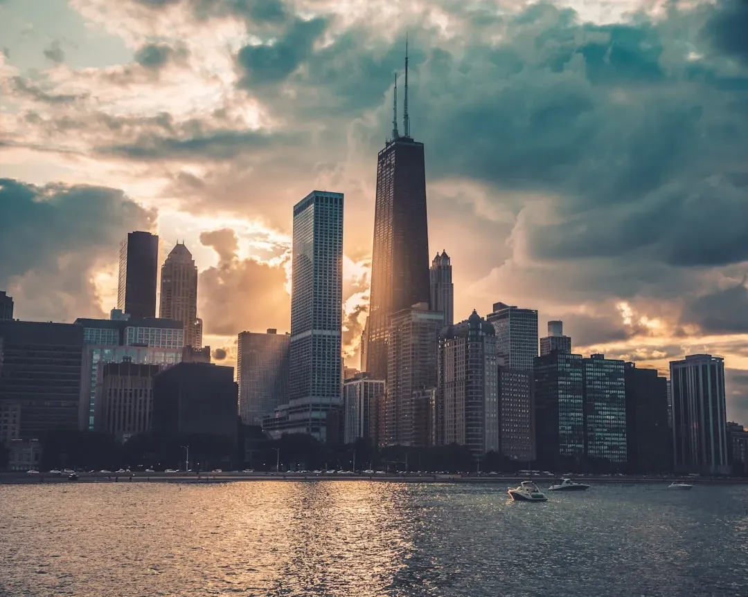
Chicago doesn’t get nearly as much press for sinking as the Texas or Gulf Coast cities, but the data says it deserves a spot on this list.
Chicago is facing similar rates of downward vertical land motion that could stress infrastructure over time. Unlike Houston, Chicago’s issue isn’t primarily groundwater pumping – much of the sinking traces back to the sheer weight of dense urban development pressing down on soft glacial-lakebed soils left behind thousands of years ago by ancient Lake Chicago.
The city’s entire downtown Loop was famously built on marshy, unstable ground back in the 1800s – which is exactly why 19th-century engineers had to physically jack up entire buildings and slide new foundations underneath them. It’s a wild historical fact most Chicagoans have never heard.
That soft-soil legacy hasn’t disappeared just because it’s invisible now. Modern satellite tracking confirms the same underlying instability is still active today, just moving at a pace too slow for anyone to notice without instruments. Slow doesn’t mean harmless – engineers say gradual shifts eventually stress pipes, subway tunnels, and building foundations in ways that surface decades later as expensive repairs.
#7 – Memphis, Tennessee
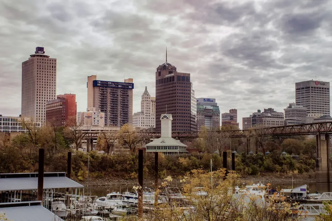
Memphis sits directly on top of one of the most dangerous, least-discussed seismic zones in North America: the New Madrid Seismic Zone.
Most Americans assume big earthquakes only happen out West. That assumption is flatly wrong. The New Madrid zone produced a series of quakes in 1811-1812 so powerful they reportedly rang church bells in Boston and temporarily reversed the flow of the Mississippi River. Seismologists have never stopped monitoring the fault, because it’s still generating small tremors on a regular basis.
Worth Knowing
- 1811-1812 New Madrid quakes reportedly rang church bells as far as Boston
- The Mississippi River briefly reversed flow during the sequence
- Soft river sediment amplifies shaking far beyond Western bedrock
- Midwestern building codes historically weren’t designed for major quakes
Here’s the uncomfortable opinion nobody wants to say out loud: Memphis is arguably more at risk than most California cities, simply because Midwestern building codes historically weren’t designed with serious earthquake resistance in mind. Soft river sediment across the Mississippi Valley amplifies shaking far beyond what a similar quake would produce on solid Western bedrock.
A repeat of the 1811-1812 sequence today would hit a region that now holds millions more residents, hospitals, and interstate bridges than it did two centuries ago. Emergency planners regularly run drills for exactly this scenario, yet public awareness remains shockingly low compared to hurricane or wildfire preparedness in other regions.
#8 – Charleston, South Carolina
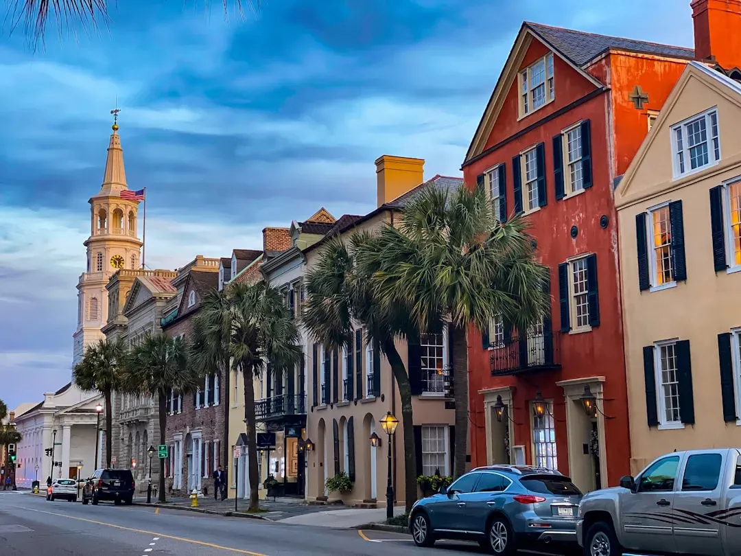
Charleston’s cobblestone charm hides one of the most violent earthquake histories on the entire Eastern Seaboard.
In 1886, Charleston was struck by a quake so powerful it remains the most damaging earthquake ever recorded in the eastern United States. The shaking was strong enough to trigger liquefaction across the region – sand and water erupting from the ground in what geologists call “sand blows.” Remarkably, evidence of those sand blows is still visible in soil samples around the Lowcountry today.
What makes Charleston especially unusual is that it isn’t sitting near an obvious plate boundary the way California is. This is an intraplate earthquake zone, meaning the danger comes from ancient buried faults that don’t announce themselves with the same warning signs seismologists rely on out West.
That unpredictability is exactly why many geologists argue Charleston deserves far more earthquake-preparedness funding than it currently gets – a mildly controversial take in a city more famous for hurricanes than seismic risk. Historic brick buildings downtown, many built well before modern reinforcement standards existed, remain particularly vulnerable if the fault reactivates anywhere close to its 1886 intensity.
#9 – Seattle, Washington
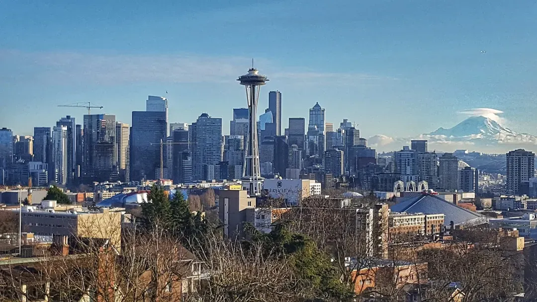
Seattle has a two-front geological problem, and most residents only know about half of it.
The first threat is the Cascadia Subduction Zone, a massive offshore fault capable of producing a “megaquake” that seismologists have long warned is statistically overdue. The second, less-discussed threat is what happens locally once that shaking arrives: much of Seattle’s industrial waterfront, including parts of SoDo and the Duwamish River corridor, sits on filled tideland and soft sediment highly prone to liquefaction.
That combination is uniquely dangerous. A subduction-zone earthquake produces longer, more sustained shaking than a typical fault rupture, which gives liquefaction-prone soils more time to fail. Bridges, port facilities, and even parts of the interstate corridor through downtown run directly through these soft-soil zones.
The question is not if a full-margin rupture will happen, but when.
U.S. Geological Survey, on the Cascadia Subduction Zone
Seattle’s building boom over the last decade has added enormous new weight and population density directly on top of ground that engineers have flagged as high-risk for generations. Some structural engineers privately argue the city’s permitting process hasn’t kept pace with what the seismic data actually demands – friction that occasionally surfaces in local planning debates but rarely makes headlines outside them.
#10 – Salt Lake City, Utah
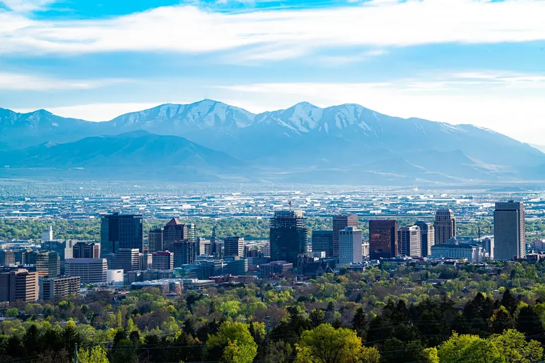
Salt Lake City sits almost directly on top of the Wasatch Fault, one of the most closely studied – and most concerning – fault systems in the interior United States.
The Wasatch Fault runs for roughly 240 miles along the base of the mountains that give the city its dramatic skyline, and several segments have documented histories of major rupture roughly every few centuries. Geologists have identified the segment running directly beneath the Salt Lake Valley as statistically due – or even overdue – for its next major event.
What makes this especially concerning is the soil underneath the valley itself: much of it is soft lakebed sediment left behind by ancient Lake Bonneville, the massive prehistoric lake that once covered the region. That kind of sediment amplifies shaking dramatically compared to solid rock, similar to the liquefaction risk already seen in San Francisco and Seattle.
Local seismologists have spent years pushing for stronger building codes and retrofitting programs for older masonry buildings downtown, arguing that Salt Lake City’s earthquake risk is dramatically underestimated compared to its West Coast peers. It’s a fair point – most Americans associate serious earthquake risk almost exclusively with California, completely overlooking the Mountain West’s very real fault activity.
#11 – Anchorage, Alaska
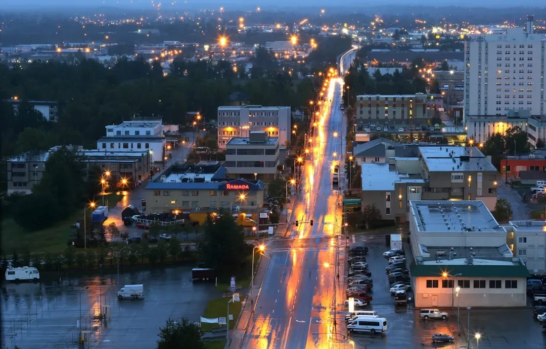
Anchorage holds the unfortunate distinction of having survived one of the most powerful earthquakes ever recorded on the planet – and the ground there hasn’t stopped shifting since.
The 1964 Good Friday earthquake, measuring a staggering magnitude 9.2, remains the second-largest earthquake ever recorded anywhere on Earth. It triggered a massive landslide in the Turnagain Heights neighborhood, where the ground essentially liquefied and slid toward the sea, destroying entire blocks of homes in minutes.
At a Glance
- 1964 Good Friday quake: magnitude 9.2, second-largest ever recorded
- Turnagain Heights landslide destroyed entire blocks of homes
- Alaska sits directly on the Pacific-North American plate boundary
- Post-1964 building codes are among the strictest in the country
Alaska sits directly at the boundary of the Pacific and North American tectonic plates, making it one of the most seismically active regions in the entire country – more active, in fact, than most of California, despite receiving a fraction of the earthquake-preparedness attention. Smaller tremors occur with remarkable regularity, a constant reminder that the plates beneath the city have never stopped grinding against each other.
Anchorage rebuilt after 1964 with significantly stricter building codes, which is genuinely one of the most successful earthquake-preparedness stories in American history. But newer development on the city’s outskirts, built on similarly unstable coastal soils, raises uncomfortable questions about whether those hard-earned lessons are being fully applied outside the urban core.
#12 – Norfolk, Virginia
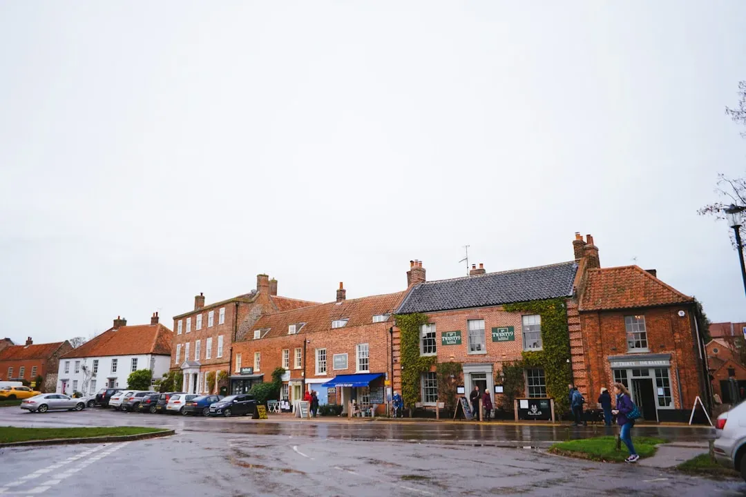
Of everywhere on this list, Norfolk might be facing the most immediate, hardest-to-ignore crisis, because it’s combining sinking ground with rising water at the same time.
A 2024 study found that regions of the Atlantic coast are sinking by as much as five millimeters per year. Norfolk, home to the largest naval base in the world, sits directly in this subsiding corridor. Unlike Houston’s groundwater-driven sinking, much of the East Coast’s subsidence traces back to a slower, stranger cause: the land is still settling from the retreat of glaciers thousands of years ago, a process geologists call glacial isostatic adjustment.
That ancient, invisible process is now colliding head-on with modern sea-level rise, and the combination is proving far worse than either factor alone. Streets that flood only during major storms today are on pace to flood routinely within decades, according to regional planning studies.
This might be the most underrated crisis on this entire list. A major military installation, thousands of homes, and critical port infrastructure all sit on ground that is simultaneously sinking and drowning – yet Norfolk rarely gets the national attention that Miami or New Orleans receive for the exact same underlying problem.
The Bottom Line
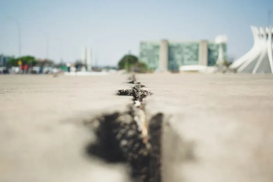
The scariest part of all this isn’t any single city – it’s how invisible the problem is everywhere. Whether it’s groundwater pumping in Houston, ancient glacial rebound in Norfolk, or a fault line quietly overdue in Salt Lake City, the ground under millions of Americans is moving in ways most residents will never notice until it’s already caused damage.
Some of it is millimeters a year. Some of it is catastrophic and overdue. Either way, insurance companies, engineers, and geologists are paying far closer attention than the average homeowner – and that gap, more than any single fault line or flood map, is the real risk nobody’s pricing in.