Imagine flying in a small plane across the middle of North America, from the Gulf of Mexico up toward the Arctic. Now picture this same route, not with wheat fields and cities below you, but with endless blue water, mosasaurs the size of buses, and sharks cruising over what is now Kansas and the Dakotas. For tens of millions of years in the age of dinosaurs, that was reality: a warm, shallow inland sea literally cut the continent in half.
This ocean, known as the Western Interior Seaway, turned the heart of North America into prime real estate for some of the most terrifying marine predators that ever lived. It swallowed whole mountain ranges, shifted climates, and left behind fossil clues that still surprise paleontologists today. The wildest part? Much of what we know about it comes from ordinary rocks under farmland and highways. Let’s dive into how this ancient sea formed, what lived there, and why its story still matters to us now.
A Continent Cut in Two: How the Western Interior Seaway Formed
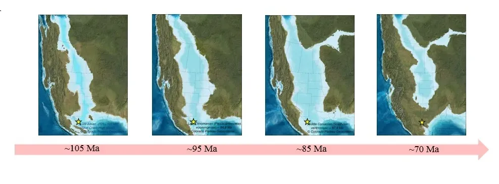
It sounds dramatic to say that an entire continent was split in half, but geologically speaking, that is exactly what happened during the Late Cretaceous. Global sea levels were higher, driven by warm climate and the fact that seafloor spreading at mid-ocean ridges displaced water onto the continents. At the same time, tectonic forces on the western edge of North America created a long, subsiding basin that acted like a giant bathtub just waiting to be filled.
As the ancestral Gulf of Mexico to the south and the Arctic Ocean to the north both expanded, their waters gradually invaded this low-lying interior. Over millions of years, the two arms finally met, creating a continuous seaway that stretched thousands of kilometers from present-day Texas up into Canada. Instead of one solid landmass, North America was divided into two long islands: Laramidia in the west and Appalachia in the east, each with its own dinosaurs evolving in semi-isolation.
A Warm, Shallow, Murky World in the Middle of the Continent
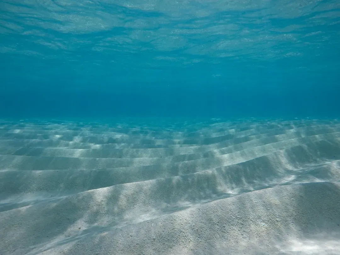
The Western Interior Seaway was not an open, deep, navy-blue ocean like the middle of the Atlantic today. It was relatively shallow, often only a few hundred meters deep at most, and in places much less. Think of it more like a giant, warm, tropical epicontinental sea that flooded lowlands, with broad, muddy seafloors and shifting shorelines that crept back and forth as sea levels rose and fell.
Because it was so shallow and connected to both polar and equatorial waters, conditions could be complex. Parts of the seaway were calm and oxygen-poor at the bottom, leading to thick layers of dark, organic-rich sediment that would later become important rock formations. Other regions would have been clearer and more oxygenated, teaming with plankton, fish, and marine reptiles. Storms could whip across the surface, and river deltas poured freshwater and sediment into the margins, creating a patchwork of different habitats within one enormous inland sea.
Monster Reptiles: Mosasaurs, Plesiosaurs, and Other Apex Hunters
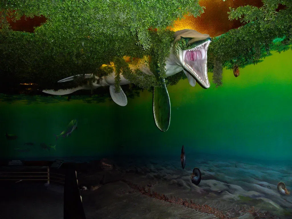
When people hear “ancient sea full of giant predators,” this is usually what they are really imagining: mosasaurs, plesiosaurs, and other marine reptiles turning the Western Interior Seaway into something like a real-world monster movie. Mosasaurs were probably the headline act here, long-bodied, powerful swimmers with double-hinged jaws and sharp, conical teeth. Some species were longer than a city bus and would have had the same kind of apex-predator dominance that great white sharks hold today, only on a much larger and more brutal scale.
Plesiosaurs shared these waters too, with their long necks or massive, barrel-shaped bodies depending on the group, and they hunted fish, squid, and smaller reptiles. Add in giant predatory fish, large sharks, and pterosaurs swooping down from the air to snatch prey near the surface, and you get a whole stacked food web of big, dangerous animals. If you fell into that sea, you would not have been the top of the food chain for even a moment, and that sense of constant risk is part of what makes the seaway so fascinating today.
Life Below the Surface: Fish, Sharks, Invertebrates, and Microscopic Powerhouses
Behind the headline predators, the Western Interior Seaway was packed with life at every scale. There were schools of bony fish, ranging from small, quick darting forms to big, heavily toothed hunters that look almost cartoonishly fierce in fossil reconstructions. Sharks prowled the water column, with some species specialized for coastal zones and others built for long-distance cruising across the interior sea. Even the idea of sharks gliding over what is now Nebraska or Colorado feels delightfully disorienting.
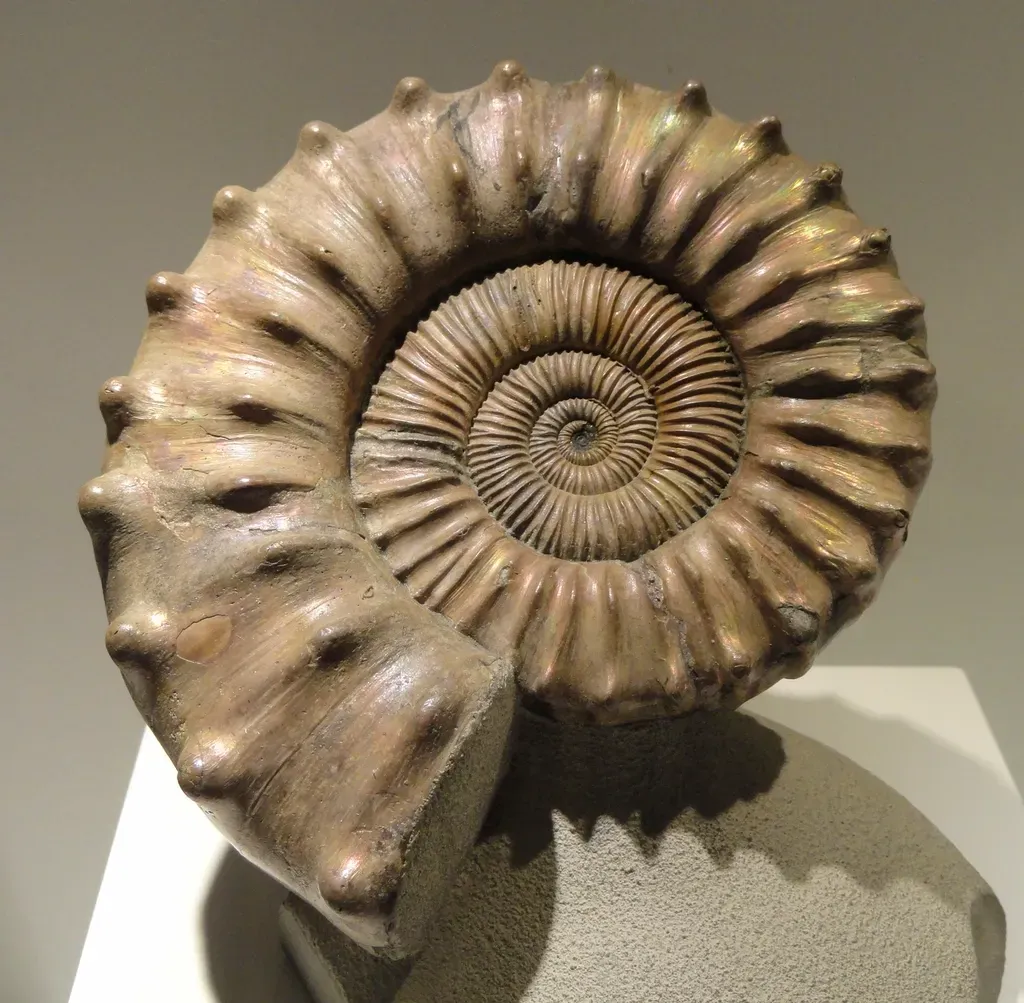
Below them, invertebrates built vast communities. Ammonites, with their spiral shells, floated and swam through the water, while clams and oysters occupied the seafloor and shallow shelves. At the very base of the food chain, plankton – tiny plant-like organisms and microscopic animals – captured sunlight and nutrients, turning them into energy that fed the entire ecosystem. These tiny organisms also left behind shells and chemical signatures that scientists use today like a time machine, reconstructing past temperatures, salinity, and even ocean circulation patterns in this long-vanished seaway.
Fossils in the Heartland: How We Know This Sea Existed
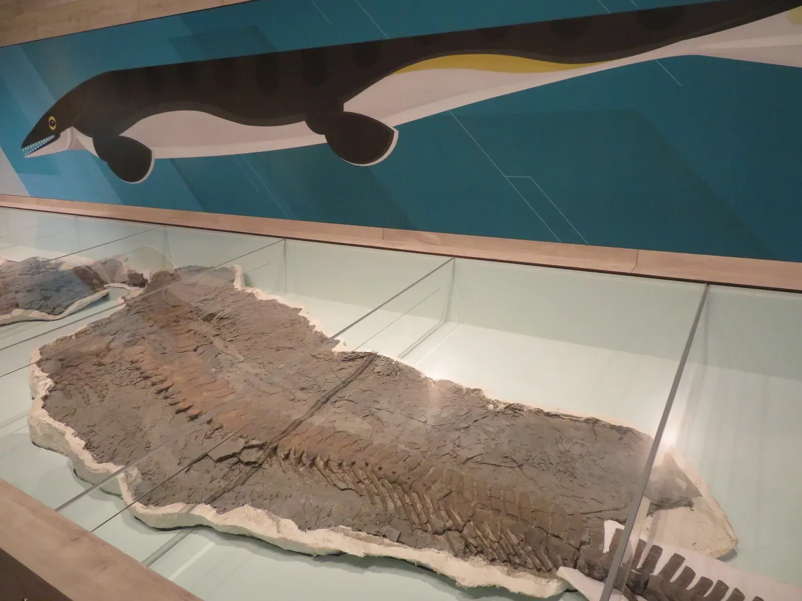
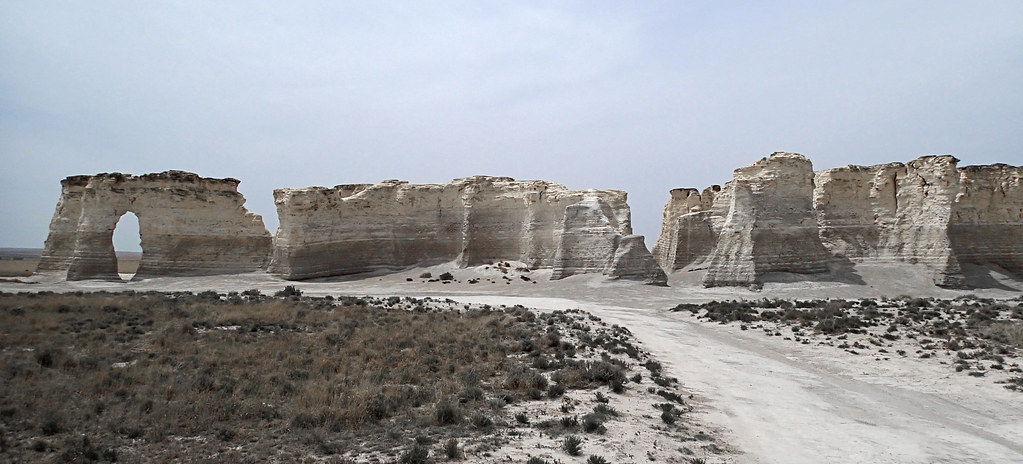
The proof for this ancient sea is not hidden away in remote deserts alone; it is literally scattered across the North American heartland. In Kansas, for example, there are famous chalk deposits packed with marine fossils: fish, turtles, mosasaurs, and even delicate remains like the wing bones of flying reptiles. Similar marine rocks and fossil-bearing layers appear in states like South Dakota, Colorado, Wyoming, and up into Canadian provinces such as Alberta and Saskatchewan. Farmers have dug up fossil bones in what used to be seafloor sediment while working their fields.
Geologists map thin layers of rock like pages in a book, tracing them across huge distances and finding the same kinds of marine fossils and sediment types. This consistency shows that the sea was not just a scattered patchwork of local floods but a connected, continent-scale body of water. On top of that, chemical analyses of the rock – looking at things like oxygen isotopes – back up the idea of a warm, relatively shallow marine environment. When you put all of this together, the conclusion is unavoidable: there was once an enormous sea where today you might take a road trip through endless land.
Changing Shorelines, Climate Clues, and the End of the Seaway
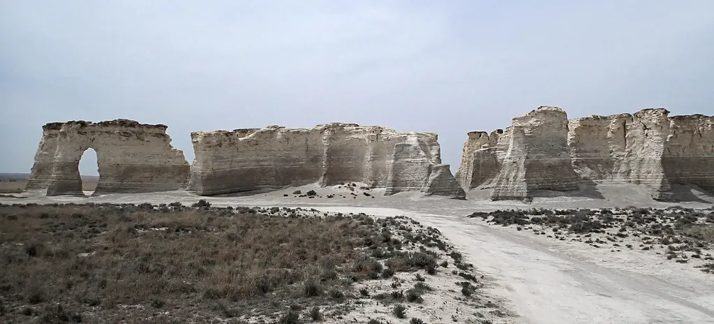
One of the surprisingly modern aspects of the Western Interior Seaway story is how much it reminds us that coastlines are not fixed lines on a map. Over millions of years, the shoreline of this inland sea advanced and retreated many times as global climate and sea level shifted. Rivers built deltas, storms reworked sediment, and tectonic uplift in the west slowly raised mountain ranges that squeezed the basin and eventually helped drain the sea. The process was slow, but it was relentless.
By the very end of the Cretaceous, not long before non-bird dinosaurs disappeared, the seaway had mostly withdrawn, leaving behind wetlands, river systems, and new expanses of land that would become the interior of modern North America. Layers of rock record these transitions from deep marine to shallow marine, then to coastal and finally to terrestrial environments stacked on top of one another. In those same rocks, scientists also find clues about ancient climate shifts, ocean circulation, and even episodes when oxygen levels in the water dropped dramatically, leaving a fingerprint of environmental stress that feels eerily relevant in today’s warming world.
From Ancient Sea to Modern Landscape: Lasting Impacts on North America
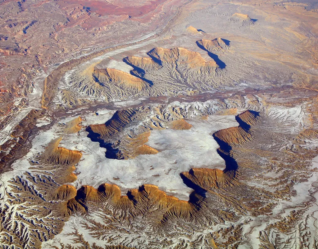
Even though the Western Interior Seaway vanished tens of millions of years ago, it still shapes life in North America in ways most of us never think about. The sediments dropped into that shallow ocean created thick packages of rock that later turned into resources like chalk, limestone, and in some cases hydrocarbon-bearing layers. In a bigger-picture sense, the tectonic story behind the seaway also helped set up the rise of the Rocky Mountains, which now define much of the continent’s western skyline and climate patterns.
The old seafloor also influences modern soils and landscapes. Areas that were once underwater can have distinctive geology, which affects everything from groundwater flow to the kinds of crops that grow well. When you are driving across the Great Plains and see rolling hills cut by gentle river valleys, you are often looking at the long, quiet afterlife of this drowned world. The idea that Kansas or Alberta once looked more like parts of a subtropical archipelago than endless prairie is a powerful reminder that Earth’s surface is endlessly changeable, not a fixed backdrop.
Why This Lost Sea Still Matters: A Personal Take
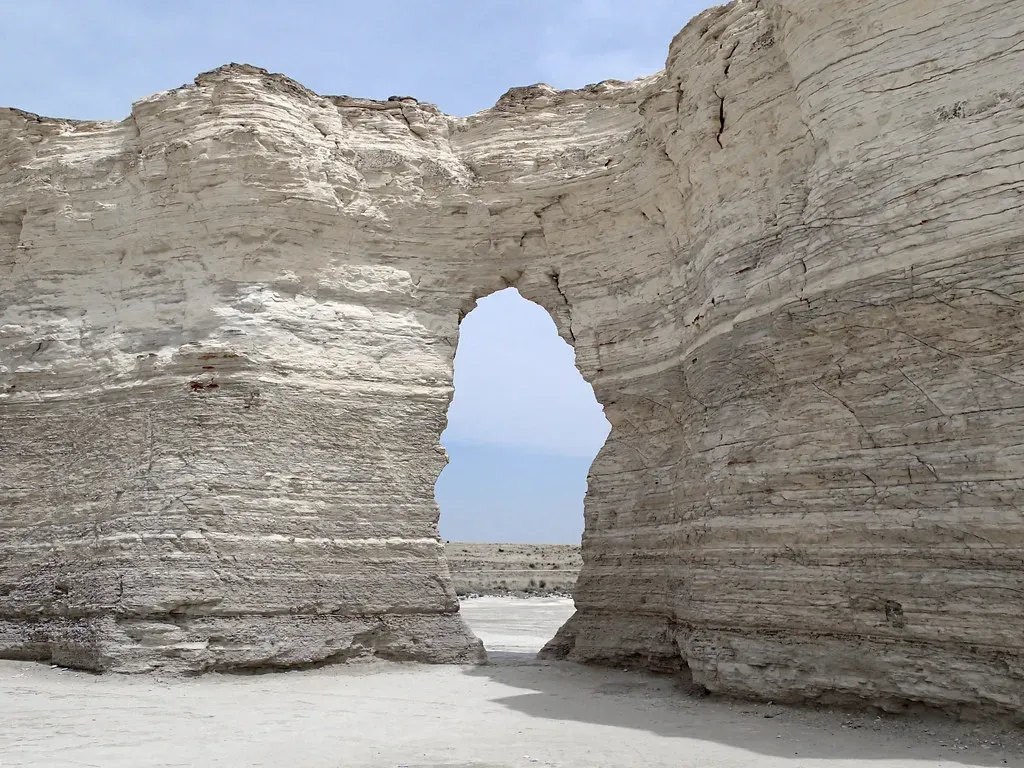
I think the Western Interior Seaway is one of those stories that quietly rewires how you see the map of the world. It undercuts the comforting assumption that continents are solid, unchanging things and reveals just how fluid our planet really is over geological time. There is something humbling about realizing that where we build highways, plant corn, and live out our day-to-day routines was once prowled by giant reptiles hunting in warm, shallow water. It makes the present feel less permanent and a bit less self-centered, which I would argue is a healthy shift in perspective.
To me, the most important lesson from this ancient inland sea is not just that it was stuffed with terrifying predators or that it split North America for a while, as cool as those details are. It is that Earth’s climate, sea level, and ecosystems have always been dynamic, and dramatic changes are the rule, not the exception, when you zoom out far enough. The difference now is that we are here to witness, and in many ways accelerate, some of those changes. When you picture mosasaurs where grain silos now stand, it forces an uncomfortable but necessary question: if our continents can transform so radically over time, what kind of world are we choosing to leave written in the rocks for whoever studies our era in the distant future?