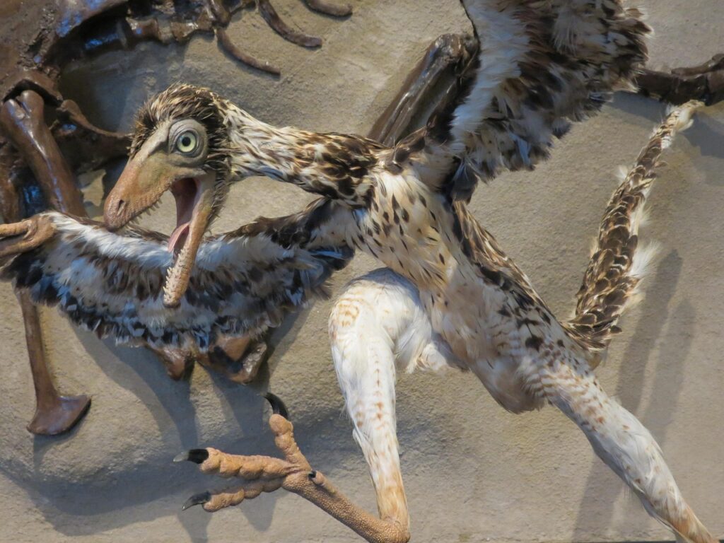
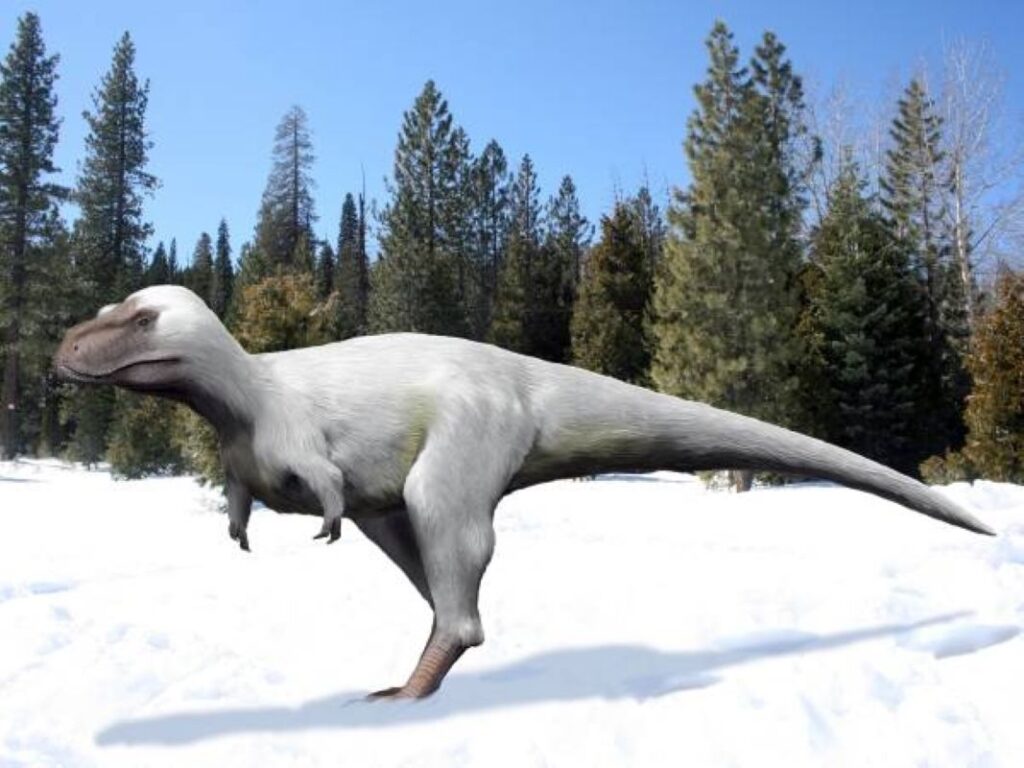
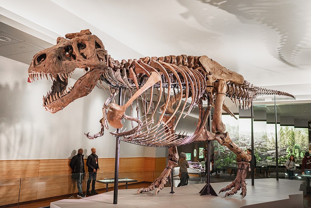
The landscape of paleontology has undergone a remarkable transformation in recent decades. While the traditional image of fossil hunting involves painstaking fieldwork with brushes and picks, today’s paleontologists increasingly rely on cutting-edge technology from the skies above. Drones and satellites have revolutionized how researchers locate, document, and analyze fossil sites around the world. This technological revolution is expanding our understanding of Earth’s prehistoric past at an unprecedented rate, allowing scientists to explore remote locations, map vast territories, and detect fossil-bearing formations that might otherwise remain hidden. The marriage of ancient history with modern technology represents one of the most exciting developments in the field of paleontology today.
The Evolution of Fossil Hunting Techniques

Fossil hunting has traditionally been a labor-intensive process, requiring researchers to physically survey promising areas on foot, often in challenging terrain and harsh conditions. For centuries, paleontologists relied on their trained eyes, geological knowledge, and sometimes pure luck to spot fossil fragments exposed on the surface. The introduction of aerial photography in the early 20th century provided some assistance, but the real revolution began with the digital age. Today’s fossil hunters augment their fieldwork with sophisticated remote sensing technologies that can survey vast areas from above, identify promising geological formations, and even detect subtle changes in soil composition that might indicate fossil presence. This technological evolution has transformed paleontology from a primarily chance-based endeavor to a more targeted, efficient scientific pursuit without diminishing the thrill of discovery that has always characterized the field.
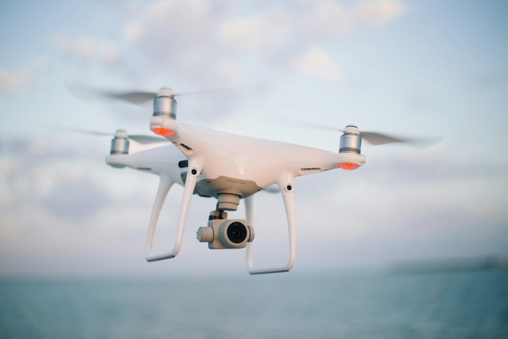
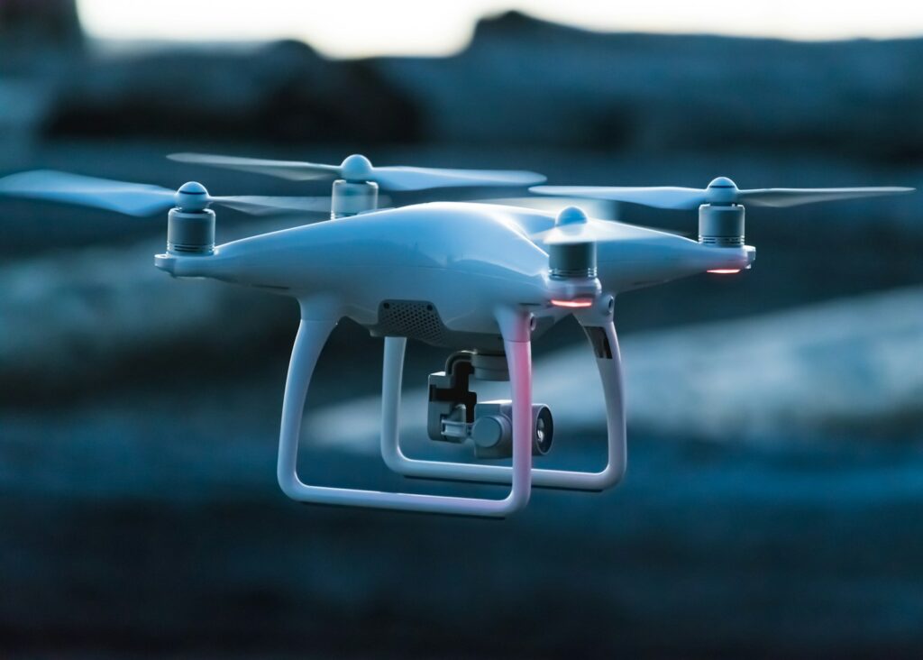
Drone Technology in Paleontological Research
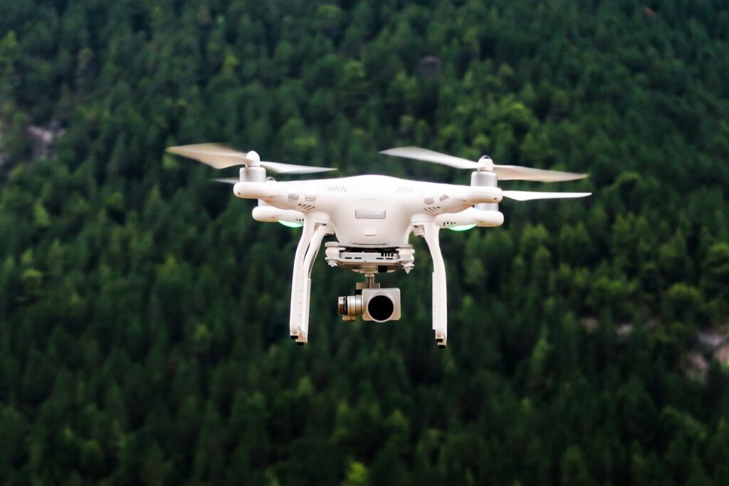
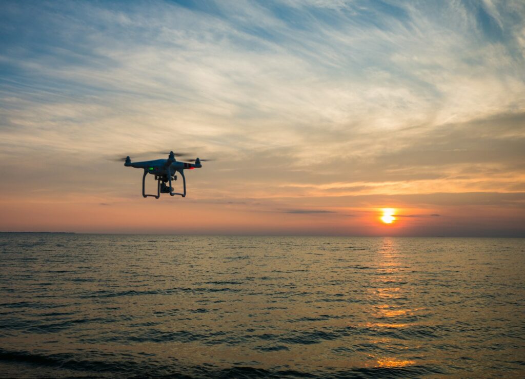
Unmanned aerial vehicles (UAVs), commonly known as drones, have become indispensable tools for modern paleontologists. These versatile platforms can be equipped with high-resolution cameras, multispectral sensors, and even ground-penetrating radar capabilities to provide detailed imagery of potential fossil sites. The maneuverability of drones allows researchers to capture comprehensive views of vertical cliff faces, erosion patterns, and exposed strata that would be difficult or dangerous to examine up close. Modern professional-grade drones can systematically survey large areas in hours rather than the weeks it might take a ground team, creating detailed orthomosaic maps and 3D models of promising locations. The relatively low cost and ease of deployment make drone technology particularly valuable for paleontological expeditions operating with limited resources or in remote regions where traditional survey methods would be impractical.
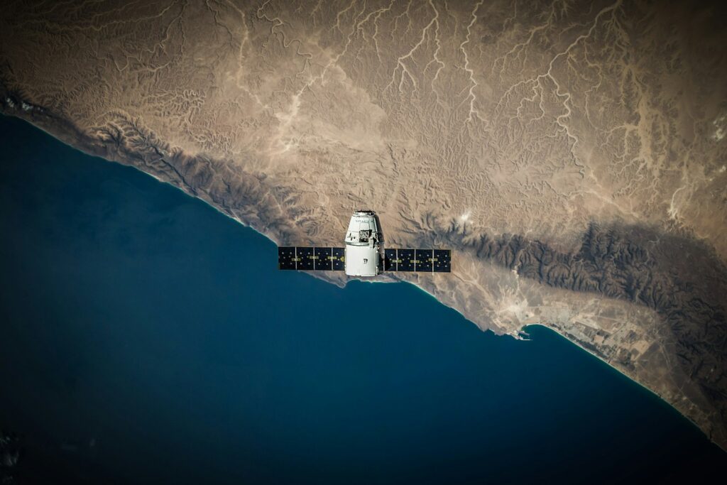
Satellite Imaging: Expanding the Search Horizon

While drones excel at locating and documenting specific sites, satellite technology enables paleontologists to conduct preliminary searches across vast geographical regions. Modern earth observation satellites equipped with multispectral and hyperspectral sensors can detect specific geological formations associated with fossil deposits from hundreds of miles above the Earth’s surface. The temporal dimension of satellite imaging is particularly valuable, as researchers can analyze seasonal changes, erosion patterns, and even track how known fossil beds respond to different environmental conditions throughout the year. Historical satellite imagery also allows scientists to identify areas where erosion has recently exposed new rock formations, potentially revealing fossils that were previously buried. Space agencies like NASA and the European Space Agency have developed specialized tools that analyze spectral signatures to identify the mineral compositions most likely to contain preserved organic remains, significantly narrowing down search areas before any fieldwork begins.
LiDAR Technology: Seeing Through Vegetation

Light Detection and Ranging (LiDAR) technology has emerged as a game-changer for fossil hunting in densely vegetated regions where traditional survey methods would be hindered by thick forest cover. When mounted on drones or aircraft, LiDAR sensors emit laser pulses that penetrate vegetation and bounce back from the ground surface, creating a detailed three-dimensional map of the terrain beneath. This capability is particularly valuable in areas like rainforests or woodland regions where important fossil-bearing formations might be completely obscured by plant life. Paleontologists have successfully used LiDAR to identify subtle geological features like ancient riverbeds, shorelines, or exposed rock formations that have high potential for fossil preservation. The technology has led to significant discoveries in places like the Amazon Basin and Southeast Asian forests, where traditional ground surveys would have likely missed these important sites due to the dense vegetation coverage.
Multispectral and Thermal Imaging: Beyond Human Vision
The human eye can only perceive a narrow band of the electromagnetic spectrum, but multispectral and thermal imaging technologies allow paleontologists to detect fossil sites using wavelengths invisible to us. Multispectral sensors on drones and satellites can identify differences in soil and rock composition based on how they reflect or absorb light across various wavelengths, helping to locate fossil-rich strata even when they’re not visibly distinct. Thermal imaging adds another dimension by measuring heat signatures, which can be particularly useful in desert environments where fossils and surrounding rocks often have different thermal properties. During early morning or evening hours, when temperature differentials are greatest, fossils may retain heat differently than the surrounding matrix, creating detectable thermal anomalies. These technologies have proven especially valuable in places like the Gobi Desert and Morocco’s phosphate basins, where they’ve helped researchers identify new fossil localities that show no obvious surface indications.
Digital Elevation Models: Reading the Landscape
Digital Elevation Models (DEMs) created from drone and satellite data provide paleontologists with detailed three-dimensional representations of terrain that can reveal promising fossil localities. These models allow researchers to identify specific geological features like ancient river channels, lakebeds, or eroded cliff faces where fossils are likely to be exposed. By analyzing the slope, aspect, and curvature of landforms, scientists can predict where erosional processes might be actively exposing fossil-bearing strata. Modern DEMs can achieve remarkable resolution, sometimes down to centimeter-scale, enabling the identification of even subtle topographic features that might indicate fossil presence. Software tools can automatically analyze these models to identify locations matching known parameters of productive fossil sites, creating targeted maps for field teams to investigate. The ability to perform this analysis remotely before committing resources to fieldwork has dramatically increased the efficiency of fossil-hunting expeditions in diverse environments around the world.
AI and Machine Learning Applications

Artificial intelligence and machine learning algorithms are increasingly being applied to the vast datasets generated by drones and satellites, automating the detection of potential fossil sites. These systems can be trained on images of known productive localities to identify similar patterns in new survey data, flagging promising areas for human investigation. Deep learning models can detect subtle patterns in multispectral imagery that might indicate fossil preservation, sometimes identifying relationships between environmental factors and fossil presence that human researchers might overlook. As these AI systems analyze more data, they continuously improve their predictive capabilities, becoming increasingly valuable tools for paleontological prospecting. Some research teams have developed specialized algorithms that can even distinguish between different types of fossil-bearing formations, helping to target searches for specific taxonomic groups or periods. The integration of AI with remote sensing represents the cutting edge of modern paleontological methods, promising even greater discoveries as the technology continues to mature.
Real-time Data Processing in the Field
Modern fossil hunting expeditions increasingly benefit from the ability to process drone and satellite data in real-time while in the field. Portable high-performance computing systems allow researchers to analyze imagery collected by drones, create 3D models, and compare findings with satellite data without leaving their expedition base. This immediate feedback loop enables teams to quickly adjust their search strategies based on what the aerial data reveals, focusing efforts on the most promising locations. Field-deployable systems can now perform complex analyses that previously required returning to university laboratories, dramatically accelerating the discovery process. Cloud computing connections, when available, can further enhance these capabilities by leveraging powerful remote servers to process complex datasets or consult with experts not physically present at the site. This technological integration has transformed the pace of paleontological fieldwork, allowing teams to accomplish in days what might previously have taken months of exploration and analysis.
Monitoring and Protecting Fossil Sites
Beyond discovery, drones and satellites play a crucial role in monitoring and protecting known fossil localities from erosion, looting, and development. Regular drone surveys of important sites can track natural erosion processes, helping researchers decide when to excavate fossils that might be at risk of damage or loss. Satellite monitoring can detect unauthorized activity at remote fossil sites, alerting authorities to potential illegal fossil collection or destruction. This surveillance capability is particularly important for protecting paleontological resources in areas where enforcement presence is limited or difficult to maintain. Many heritage management agencies now incorporate drone and satellite monitoring into their conservation strategies for important fossil sites, creating time-series datasets that document site conditions over years or decades. These technologies also enable comprehensive documentation of sites before excavation begins, preserving crucial contextual information that might otherwise be lost during the collection process.
Case Studies: Breakthrough Discoveries

The impact of aerial technologies on paleontology is perhaps best illustrated through specific breakthrough discoveries. In Mongolia’s Gobi Desert, satellite imagery analysis identified previously unknown exposures of Cretaceous formations, leading to the discovery of several new dinosaur species that had eluded researchers for decades. Drone surveys in Wyoming’s Lance Formation revealed a massive dinosaur bonebed that wasn’t visible from ground level due to subtle topography and vegetation patterns. In Peru’s Ocucaje Desert, multispectral satellite analysis helped researchers locate a remarkable concentration of marine mammal fossils from the Eocene epoch by identifying specific mineral signatures associated with the preservation environment. Perhaps most dramatically, LiDAR surveys in Honduras revealed ancient river channels containing numerous Ice Age mammal remains in areas that were previously considered unpromising due to dense jungle coverage. These examples demonstrate how aerial technologies are not just making fossil hunting more efficient but are fundamentally expanding the scope of paleontological discovery.
Democratizing Paleontological Research
The increasing accessibility of drone technology and satellite imagery has democratized paleontological research, allowing smaller institutions and even citizen scientists to conduct sophisticated surveys. Consumer-grade drones with high-resolution cameras now cost a fraction of what professional equipment did just a decade ago, putting aerial survey capabilities within reach of university departments and museums with modest budgets. Open-access satellite imagery from programs like Landsat and Sentinel provides free data that can be analyzed using increasingly user-friendly software tools. This democratization has enabled paleontological research in regions and by institutions that previously couldn’t afford extensive field surveys, diversifying the global paleontological research community. Citizen science projects have also emerged where volunteers help analyze drone and satellite imagery to identify potential fossil localities, creating valuable partnerships between professional researchers and enthusiastic amateurs. The resulting expansion of who can participate in paleontological discovery represents an important shift in a field traditionally limited by the high costs of fieldwork and specialized equipment.
Challenges and Limitations
Despite their transformative potential, drone and satellite technologies in paleontology face significant challenges and limitations. Regulatory restrictions on drone usage vary widely between countries and regions, sometimes severely limiting where and how researchers can deploy aerial survey tools. Environmental factors like dense vegetation, extreme weather, or challenging terrain can reduce the effectiveness of remote sensing, requiring complementary ground-based methods. The massive datasets generated by these technologies create data management challenges, requiring substantial computing resources and specialized expertise to process effectively. There’s also the risk that over-reliance on remote sensing might lead researchers to overlook important sites that don’t present the expected signatures from above, highlighting the continued importance of traditional field methods. Some paleontologists have expressed concern that the rapid identification of fossil sites through remote sensing might outpace the capacity for proper scientific excavation and documentation, potentially leading to important contexts being lost. These challenges highlight the need for balanced approaches that integrate new technologies with established paleontological practices.
The Future of Aerial Fossil Hunting
The future of aerial technologies in paleontology promises even greater capabilities as both hardware and software continue to evolve. Miniaturization of sensors is enabling drones to carry increasingly sophisticated payloads, including ground-penetrating radar and specialized geochemical detectors that can identify organic remains beneath the surface. Higher-resolution satellite imagery with advanced spectral capabilities will further enhance remote detection of fossil-bearing formations across vast geographical regions. Quantum computing and advanced AI systems may soon be able to predict fossil localities with unprecedented accuracy by analyzing complex relationships between geological, climate, and biological factors across deep time. The integration of augmented reality technologies could transform how field teams interact with drone and satellite data, overlaying digital information directly onto their view of the physical landscape during surveys. As these technologies mature, they will likely enable discoveries in environments previously considered too challenging for effective fossil hunting, from dense rainforests to remote mountain ranges and even underwater contexts using specialized drone systems.
Conclusion
The integration of drones and satellites into paleontological research represents one of the most significant methodological advances in the field’s history. These technologies have transformed fossil hunting from a largely chance-based endeavor into a more targeted, efficient process while expanding the search to previously inaccessible or overlooked regions. The ability to survey vast areas quickly, detect subtle geological and spectral signatures, and process data in real-time has accelerated discovery rates and democratized participation in paleontological research. However, these aerial tools complement rather than replace traditional fieldwork—the expert eyes and hands of paleontologists remain essential for excavation, analysis, and interpretation. As technology continues to evolve, the partnership between ancient fossils and cutting-edge aerial systems will undoubtedly reveal more of Earth’s fascinating prehistoric past, filling crucial gaps in our understanding of life’s long journey on this planet.