
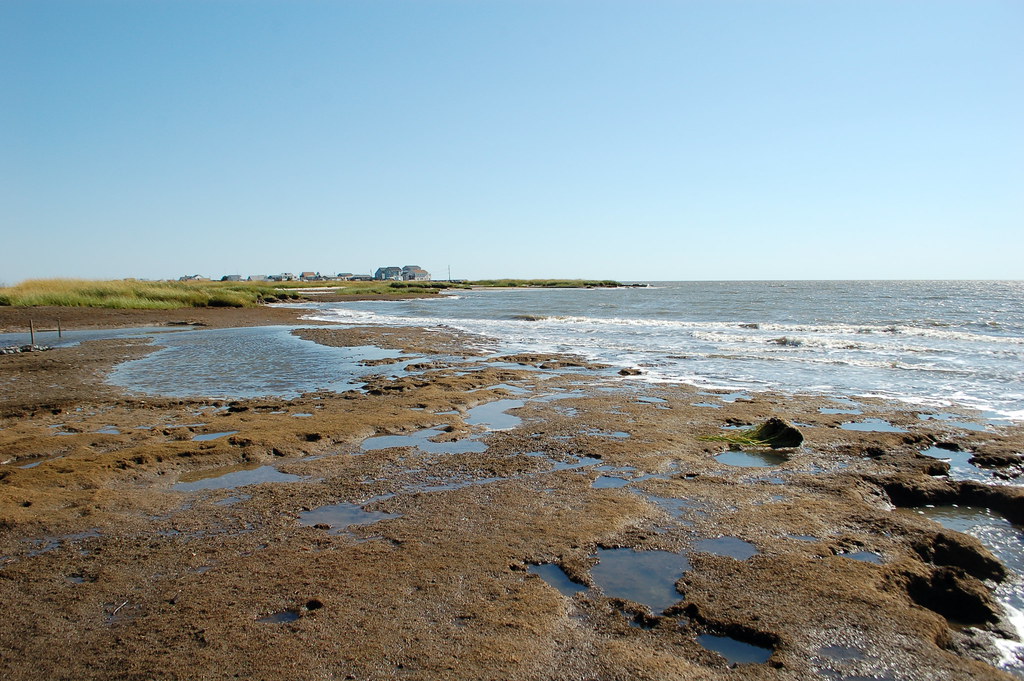
Stand on the sand, stare at the waves, and it feels like the coast has always looked this way. But in reality, many of America’s shorelines are shifting so quickly that a single childhood vacation photo can already feel like ancient history. Entire beaches are narrowing, barrier islands are migrating, and flood lines are quietly creeping inland while most visitors just see a pretty sunset and a good selfie spot.
What makes this even more unsettling is that the change is not happening in some distant, abstract future. It is unfolding right now, during ordinary family trips, spring-break getaways, and weekend drives to the shore. From Florida’s famous Panhandle to the remote Alaskan Arctic, the map may look the same, but the coast you walk today is not the same coast that existed even twenty years ago – and it will not be the same one your kids inherit.
1. Outer Banks, North Carolina: A Beloved Vacation Strip That Is Slowly On The Move
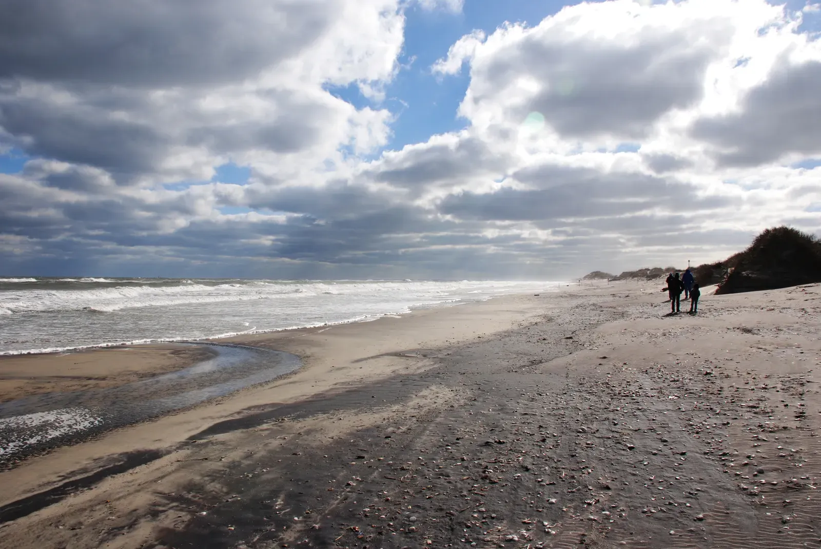
If you have ever driven that long ribbon of road across the Outer Banks, it is easy to believe it will be there forever. But these barrier islands are literally on the move, slowly migrating landward as waves and storms chew at the ocean side and push sand toward the mainland. In some stretches, the shoreline has been eroding by multiple feet each year over the past few decades, a pace that feels glacial on a daily walk but is stunning when you stack the years together.
Anyone who has seen “Road Closed” signs along Highway 12 after a storm has already had a glimpse of what is happening. Homes that once sat comfortably behind a protective dune line now find surf breaking closer and closer to their foundations, while parts of the beach seem to vanish and then reappear in new shapes after each hurricane season. Visitors still see the postcard version, but the reality is that the Outer Banks are a shifting sandbar, not a permanent place to build a life.
2. Louisiana’s Vanishing Coast: Where Entire Communities Are Losing Ground
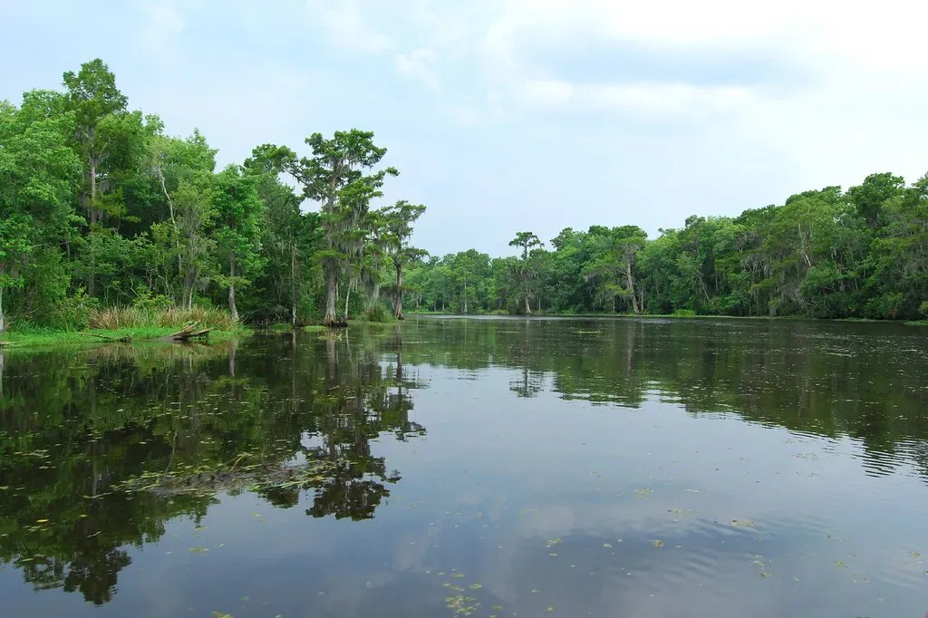
Fly over coastal Louisiana and the map looks like it has been smudged by a wet brush: patches of land breaking apart into open water, bayous widening into bays. Over the past several decades, the state has lost a huge area of wetlands, one of the fastest rates of coastal land loss in the United States. This is happening because of a layered mix of causes – sea level rise, sinking land, altered river flows, and human engineering that has blocked the Mississippi River from spreading fresh sediment like it used to.
For travelers heading to New Orleans or the Gulf for fishing trips, the loss can be surprisingly invisible from the ground. You might notice a wide, shimmering marsh from a boat and not realize that those waters were once solid ground where families lived, trapped crabs, and raised kids. Some small communities have already had to relocate or are planning for that future, while others are clinging on as the water creeps closer. It is not dramatic in a single day, but the long-term trend is brutally clear: this is a coast shrinking in real time.
3. Miami and South Florida: Glamorous Beaches Facing A Rising Tide
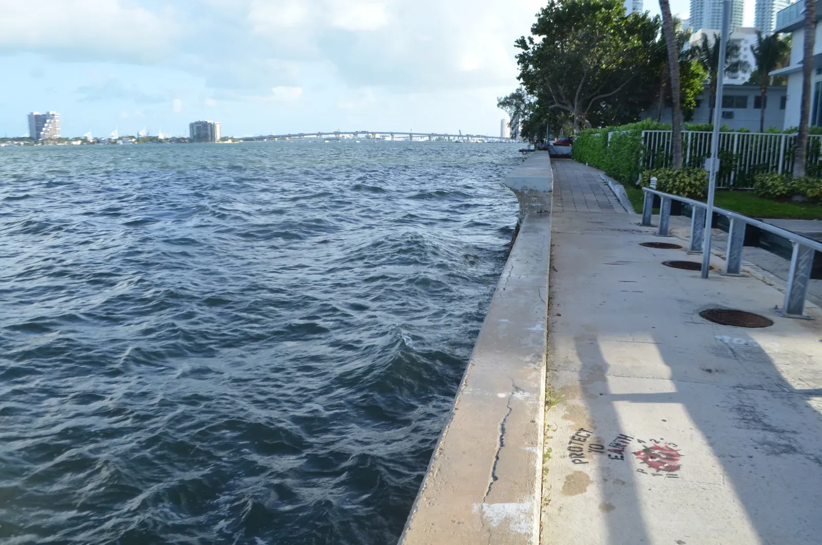
South Florida sells a fantasy of endless summer – white sand, neon nights, and palm-lined hotels. What the glossy travel photos do not show is how often the region is already dealing with so-called “sunny day” flooding, when high tides and rising seas push water up through storm drains and across streets, even when the sky is cloudless. Miami and surrounding communities are spending serious money on pumps, raised roads, and seawalls, a sign that this is no longer just a theoretical climate model but a lived, daily reality.
For visitors, the beach still looks very much like the classic Miami backdrop – wide sand, warm water, crowded bars. But behind that surface, every inch of elevation matters and every big storm is a reminder of how low-lying these neighborhoods really are. The uncomfortable truth is that this glamorous coastline is locked into decades of rising seas ahead, and no amount of branding or nightlife can fully outrun that slow, relentless change.
4. Cape Cod, Massachusetts: A Classic New England Escape, Steadily Recarved By The Sea
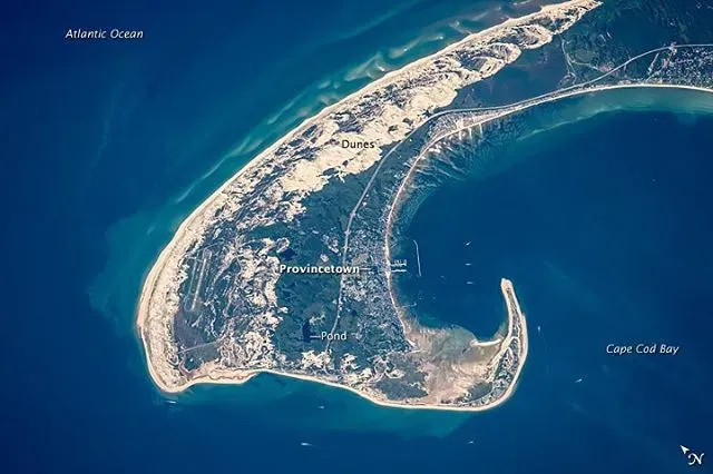
Cape Cod feels timeless: gray-shingled cottages, lighthouses, dunes that look like they wandered out of a painting. Yet much of the Cape is a classic example of a dynamic sand-based coast, constantly reshaped by waves, storms, and currents. Certain ocean-facing bluffs have been retreating steadily, with some shorelines losing several feet a year over recent decades, and historic structures have had to be moved or protected as the edge inches closer.
Walk any of the high bluffs after a winter storm and you can sometimes see fresh scars – chunks of cliff collapsed onto the beach, trees dangling at odd angles where the ground gave way. At the same time, other parts of the Cape may gain sand and appear to grow, a reminder that erosion and deposition are part of the same system. Visitors who return every few summers might not pick up on the changes, but locals know that the coastline they grew up with is quietly being redrawn.
5. Florida’s Gulf Coast and Panhandle: Beach Paradise Under Pressure
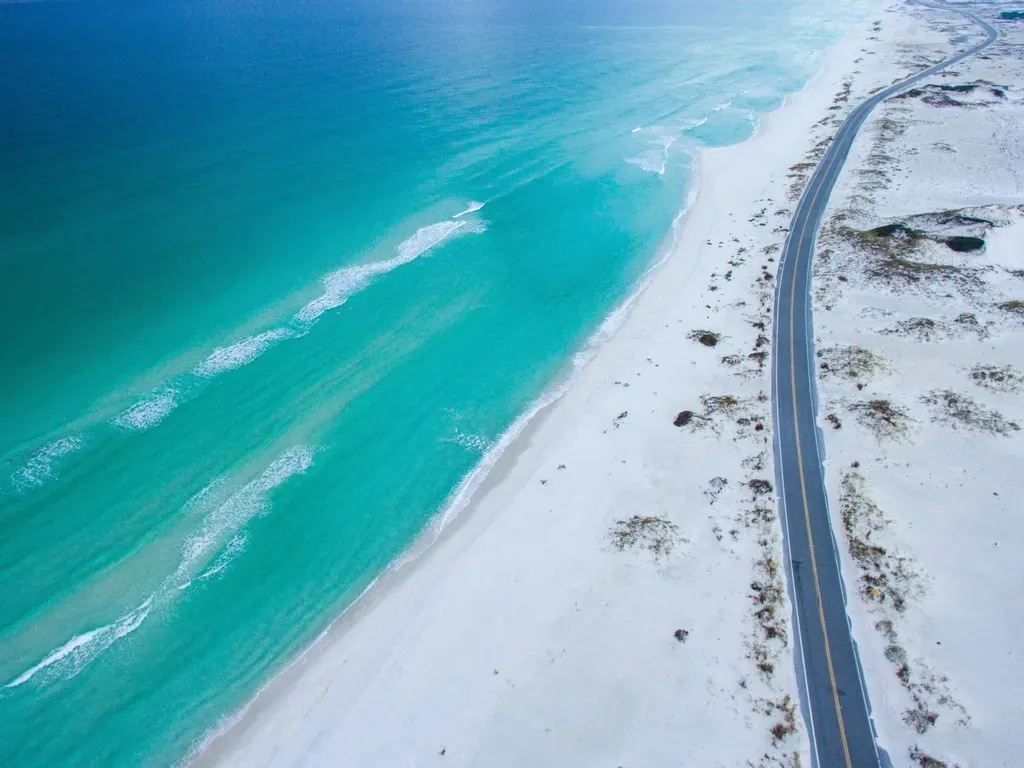
The sugar-white beaches of the Florida Panhandle and Gulf Coast pull in families year after year, promising calm surf and stunning sunsets. What most people do not see is how vulnerable many of these communities are to both gradual sea level rise and sudden, intense hurricanes. When a powerful storm roars ashore, it can strip sand from beaches, carve new inlets, and damage dunes that took years to build up, leaving behind a thinner, more fragile shoreline.
After each storm, beach nourishment projects often truck or pump in fresh sand to rebuild what was lost, essentially putting the coast on constant life support. From a visitor’s perspective, it still looks like a dreamy, stable vacationland. Underneath that, though, is a running race between natural forces and human efforts to hold the line. The more this region warms and the seas rise, the more that race starts to feel less like a sprint and more like a long, expensive marathon with no clear finish line.
6. Alaska’s Arctic Coast: A Frozen Frontier Melting Into The Sea
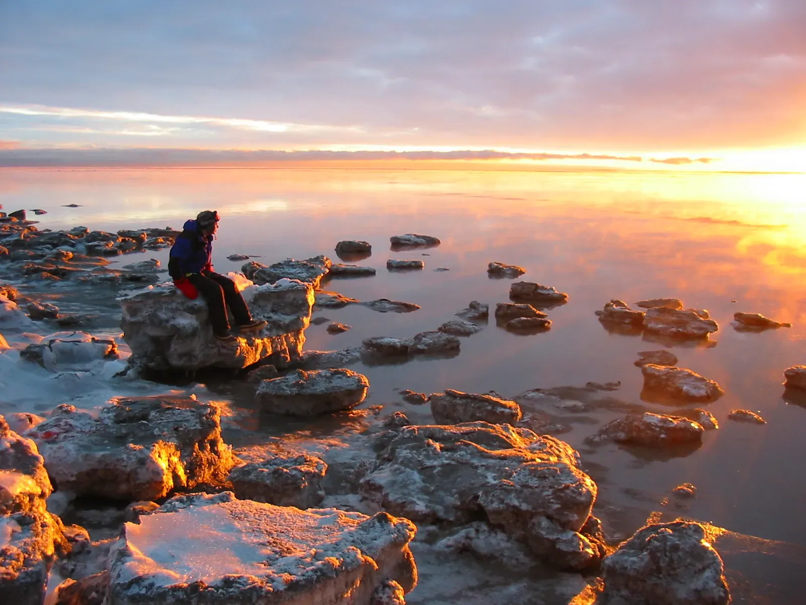
It is tempting to imagine Alaska’s Arctic coast as cold, solid, and unchanging. In reality, some of the fastest coastal changes in the entire country are happening there, driven by warming air, thawing permafrost, and reduced sea ice. The sea ice that used to shield shorelines from powerful autumn waves now forms later and melts earlier, leaving long stretches of coast exposed to storms that batter soft, thawing ground instead of rock.
For remote Indigenous communities perched on these low-lying coasts, erosion is not an abstract environmental concept – it is an immediate threat to homes, roads, and cultural sites. In a few places, entire villages have been planning or attempting relocation because the land they occupy is literally crumbling into the water. Tourists on cruise ships and adventure trips might see dramatic cliffs and wildlife, but they often miss the deeper reality: this is a coastline unraveling much faster than the rest of the country.
7. Chesapeake Bay and the Mid-Atlantic’s Sinking Lowlands
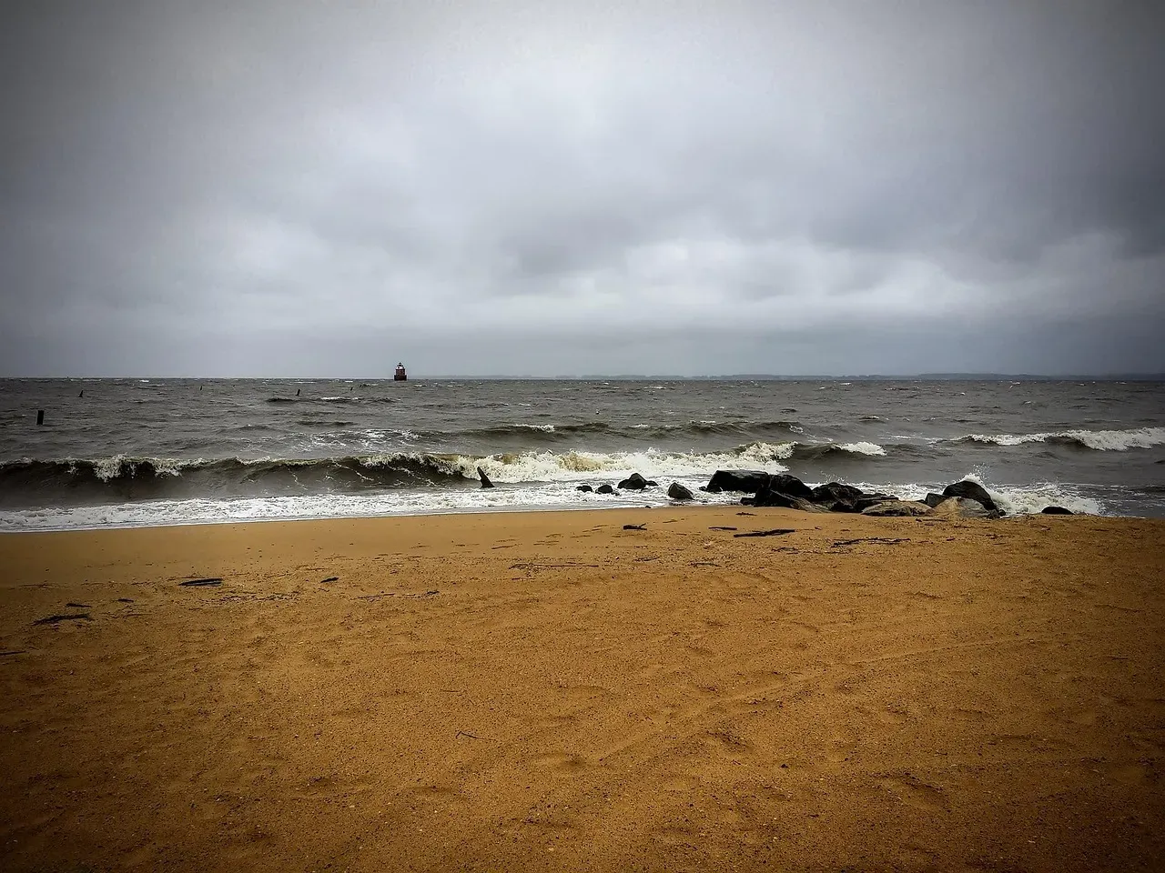
The Chesapeake Bay region looks, at first glance, like a gentle network of inlets, peninsulas, and historic waterfront towns. Look a little closer, and you notice ghost forests – stands of dead, gray trees standing where healthy woods once met the water. This is a visible sign of saltwater intrusion and higher water levels pushing farther inland, killing freshwater vegetation and quietly claiming low-lying land.
On top of rising seas, parts of the Mid-Atlantic coast are also experiencing land subsidence, meaning the ground itself is slowly sinking. That double hit makes relative sea level rise here particularly noticeable over human lifetimes. For the average visitor, the crab shacks and marinas feel reassuringly familiar, but tide gauge records and local anecdotes tell a starker story: more frequent nuisance flooding, higher storm surges, and a slow retreat of the line where dry land used to begin.
8. Pacific Northwest Coasts: Where Forested Cliffs Meet A Restless Ocean
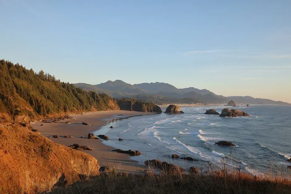
From northern California through Oregon and Washington, the Pacific Northwest coastline is a dramatic mix of rocky headlands, pocket beaches, and forested bluffs. It looks rugged enough to shrug off anything, yet many stretches are surprisingly vulnerable. Powerful winter storms slam these coasts with large waves, and when you combine that with rising seas and heavy rainfall, bluffs and cliffs can destabilize, leading to landslides and sudden chunks of coastline collapsing toward the water.
Unlike wide, sandy beaches where erosion is visually obvious, change here can feel hidden until something big fails – like a trail falling away, a road closing, or a house suddenly being much closer to the edge than it was a decade ago. Coastal communities are increasingly mapping hazard zones and planning for retreat in the riskiest locations, even as tourism campaigns still lean on the image of unspoiled, enduring wilderness. The truth is more complicated: this wild beauty is real, but it is not fixed in place.
9. California’s Iconic Beaches and Bluffs: Beauty On Borrowed Time
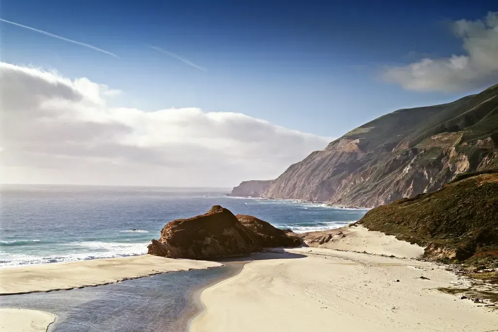
When people picture the American coast, they often imagine California first: palm trees, surfers, crowded boardwalks, seaside highways clinging to cliffs. Yet many of these very cliffs are eroding, and the narrow beaches squeezed between the ocean and human development are under intense pressure. In some areas, there is a squeeze effect as rising seas push water higher while rail lines, roads, or buildings block the coast from migrating inland, causing beaches to shrink or disappear altogether.
At the same time, high-profile landslides along scenic routes and damaged oceanfront walkways have become more common talking points, reminders that gravity and waves will eventually win if structures are built too close to unstable bluffs. Beach nourishment, seawalls, and revetments are all tools used to delay that outcome, but they are ultimately defenses, not cures. Tourists may still see the dreamscape they expect, but scientists and planners see a coastline negotiating, day by day, how much of that dream it can realistically hold onto.
Conclusion: The Coastline Myth We Need To Let Go Of
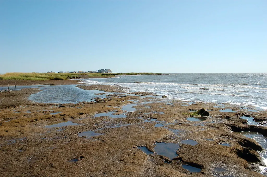
There is a comforting myth that coastlines are steady backdrops to our lives, the kind of places you can count on to look the same every time you visit. The nine coasts in this list make it painfully clear that this is no longer true – if it ever really was. From Louisiana’s vanishing wetlands to the Outer Banks’ shifting dunes and Alaska’s collapsing permafrost shores, the edge of the continent is a living, moving boundary, and the pace of that movement is speeding up in ways we can measure and, in many places, already feel.
In my view, the most dangerous thing we can do is keep treating these changes as distant, freak events instead of the new baseline shaping where and how we live. Loving the coast today means being honest about its future, even when that honesty forces uncomfortable decisions about where we build, what we protect, and what we are willing to let go. The shoreline you stand on during your next vacation is not just a pretty photo – it is a preview. The real question is whether we are willing to see it that way, or whether we will keep pretending the line between land and sea is not already on the move.