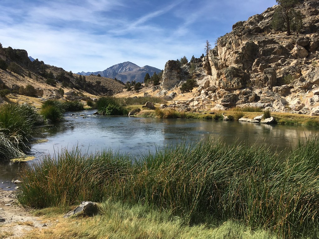
Picture standing beside a river and watching it flow east toward the ocean, then discovering that millions of years ago, those same waters rushed west in the completely opposite direction. This isn’t science fiction – it’s the incredible geological reality that shaped our planet’s most magnificent waterways. Ancient rivers didn’t just meander or shift slightly over time; they performed complete about-faces, reversing their entire course and rewriting the geography of continents.
The forces behind these dramatic reversals tell a story of Earth’s restless nature, where mountains rise, continents drift, and ice sheets advance with the power to completely redirect the flow of mighty rivers. Some changes happened gradually over millions of years, while others occurred with surprising geological speed. So let’s get started on this remarkable journey through deep time, where water defied its expected path and carved entirely new destinies across the landscape.
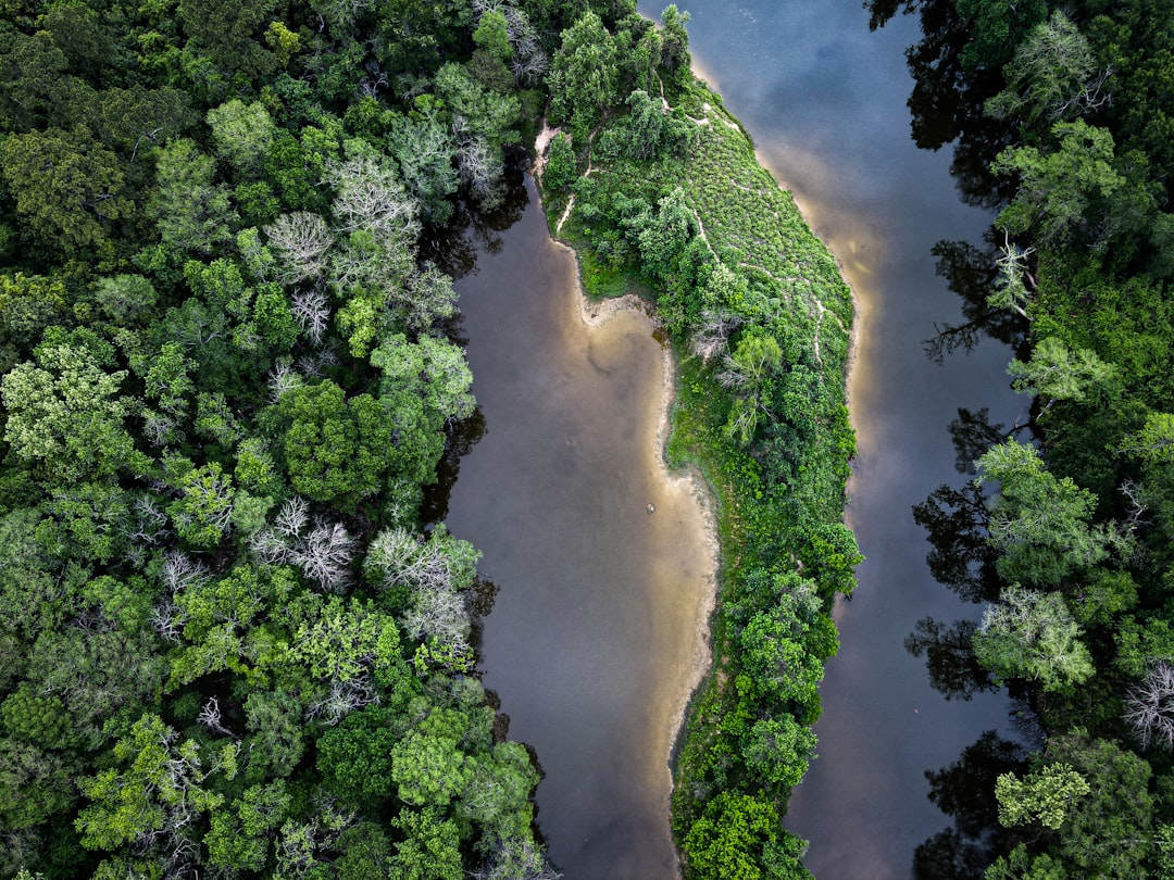
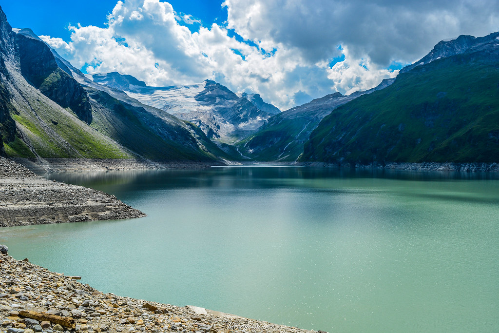
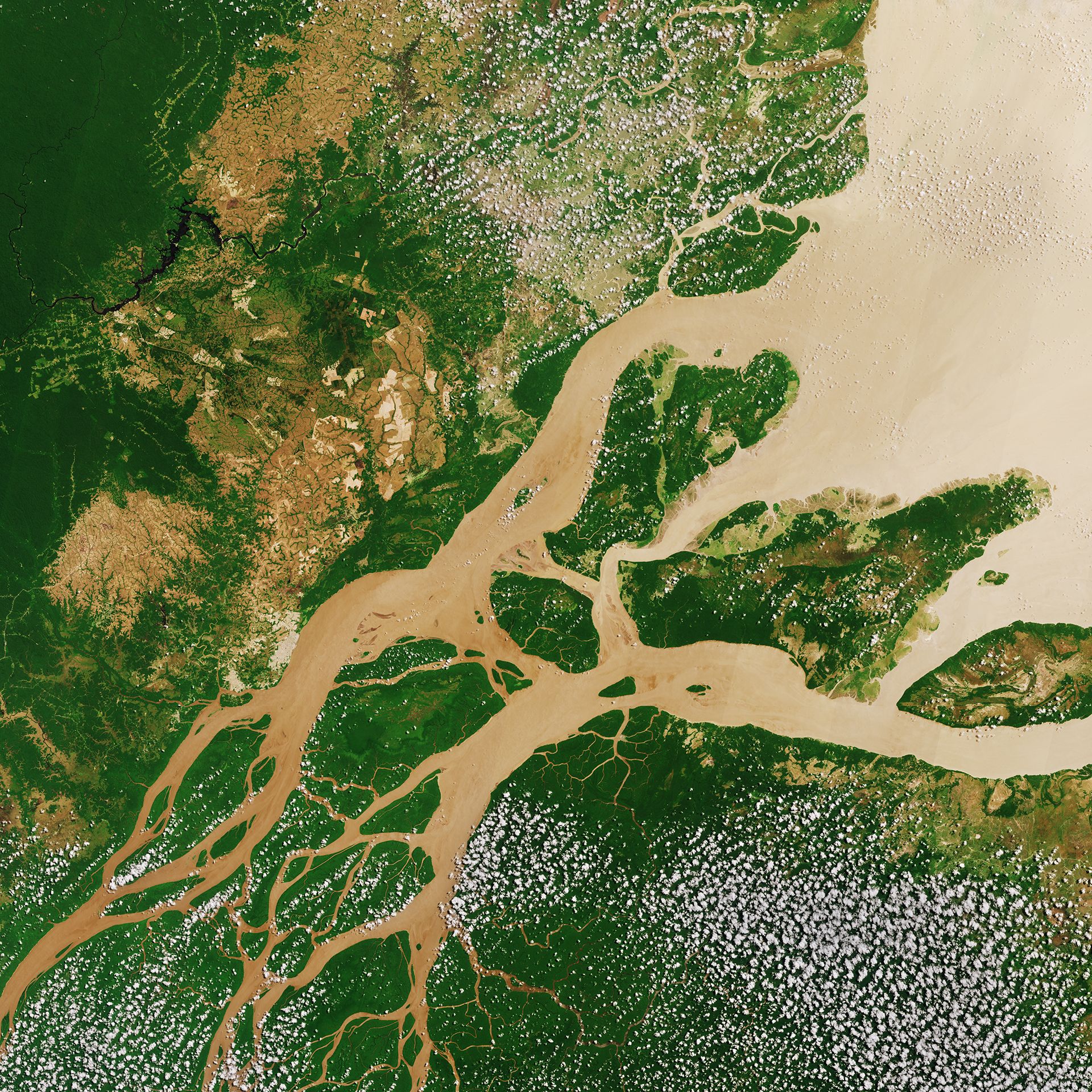
The Amazon’s Great U-Turn
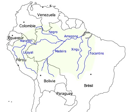
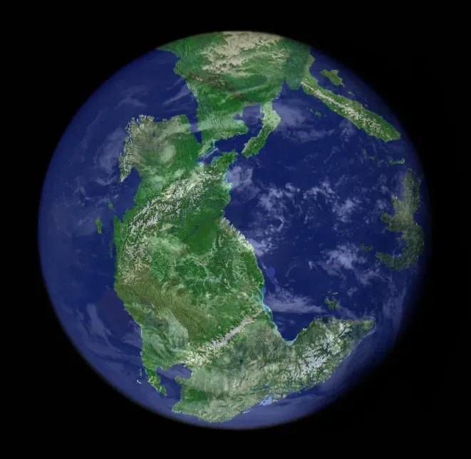
The Amazon River once flowed from east to west, toward what would become the Pacific Ocean, before the Andes Mountains had formed. Picture this ancient waterway carrying its sediment-laden waters in the completely opposite direction from today’s mighty eastward flow. When South America and Africa split during the Cretaceous Period, between 66 and 145 million years ago, an elevated region in northeastern South America deflected sediments westward.
As highland areas in the northeast eroded away, water began to flow in the opposite direction. As the Andes grew, a basin formed between the mountains and the arch. Over time, this basin filled, before it eventually spilled over, resulting in the direction of flow we see today. Scientists think this last change happened within the past five to ten million years, which is really fast, geologically speaking.
The Teays River: America’s Lost Giant
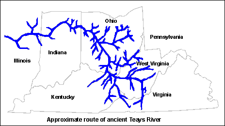
The ancient waterway, known as the Teays River, formed long before 2 million years ago. This massive river system once drained much of eastern North America, flowing from headwaters in what’s now western North Carolina through Virginia, West Virginia, Ohio, Indiana, and Illinois. The river varied from one to two miles wide and up to 500 feet deep, with what is called the “deep stage” more than 300 feet below the upland.
The Teays River was dissected and largely wiped away by advancing glaciers and their meltwater, massive continental ice sheets that began to cover large parts of Ohio and other states between 2.5 and 3 million years ago. The first glaciation blocked the Teays River and created Tight Lake, a massive body of water covering large sections of southern Ohio and parts of Kentucky and West Virginia, about 70 percent the size of Lake Erie.
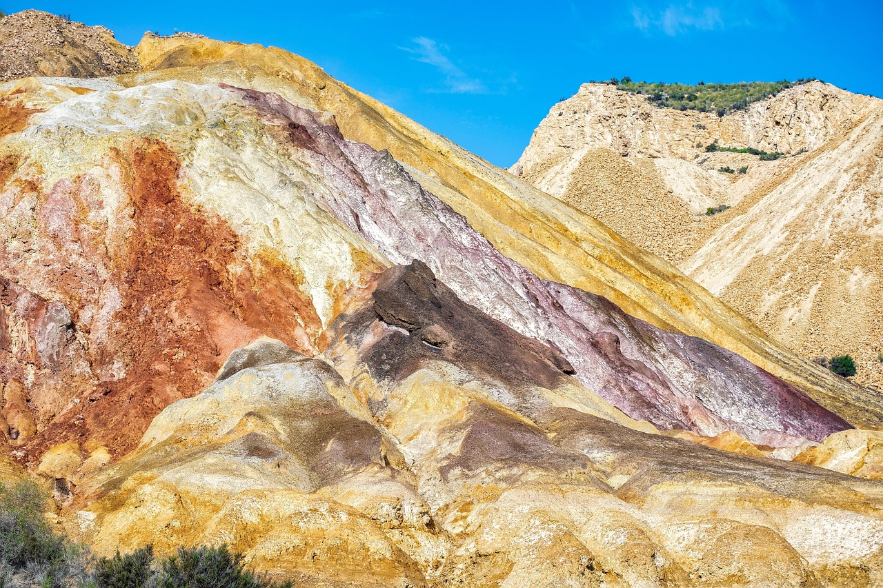
Colorado’s Ancient California River
Geologists have found evidence that some 55 million years ago a river as big as the modern Colorado flowed through Arizona into Utah in the opposite direction from the present-day river. They have named this ancient northeastward-flowing river the California River, after its inferred source in the Mojave region of southern California. The river deposits are more than 400 miles to the northeast of their source in California, and the river was on a very similar scale to the modern Colorado-Green River system, but it flowed in the opposite direction.
The mighty California River likely met its end as the Rocky Mountains rose and the northern Colorado Plateau tilted, reversing the slope of the land surface and the direction of the river’s flow. The river could have persisted for as long as 20 million years before the topography shifted enough to reverse its flow.
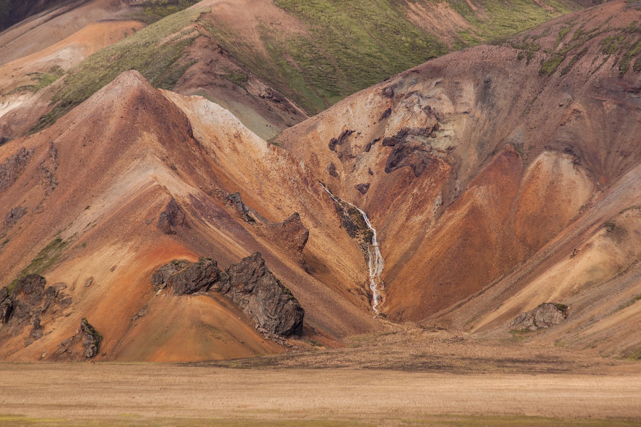
Tectonic Forces: The Ultimate River Directors
Permanent reversals are irreversible changes in a river’s course, often resulting from tectonic shifts or large-scale geological processes, such as the Amazon River being redirected towards the Atlantic Ocean due to the uplift of the Andes Mountains. Tectonic uplift is the geologic uplift of Earth’s surface attributed to plate tectonics, where an increase in mean elevation can only occur in response to crustal thickening, changes in density distribution, and flexural support.
Tectonic processes increase relief through isostatic uplift, crustal thickening, and deformation, leading to steeper river channel gradients and increased erosion rates. The most spectacular valley forms are canyons and gorges that result from accelerated entrenchment prompted by recent tectonic activity, especially vertical uplift, where regional uplift creates high-standing plateaus and reinvigorates the erosive power of existing rivers.
The Power of Erosion and Sediment
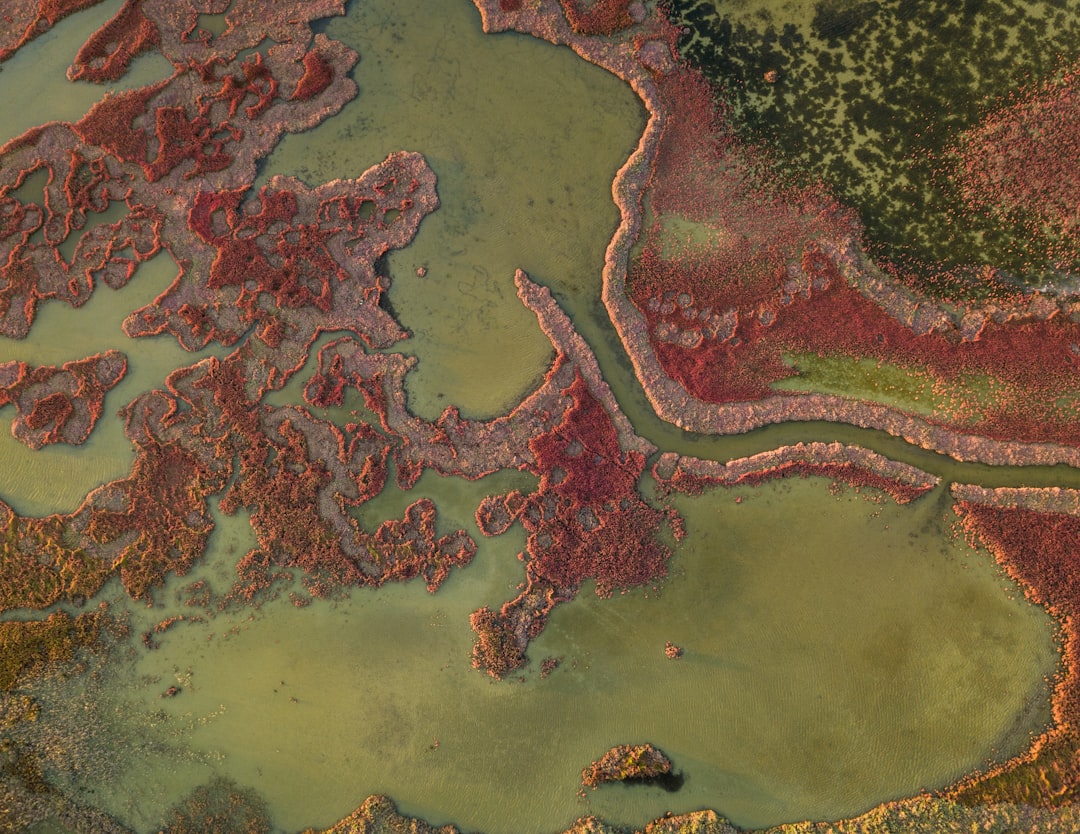
Computer models hint that river reversals resulted from familiar geological processes at Earth’s surface, particularly the persistent erosion, movement, and deposition of sediment wearing away from growing mountain ranges. The sinking of terrain slows down while accumulation of sediment spilling off mountains catches up, gradually filling in lakes and building landscapes higher until terrain becomes higher than eastern realms, providing downhill slopes from mountains to oceans.
Erosion played a major part in flow changes, as mountain growth increased chances of rainfall which produced more erosion coming off mountain ranges, prompting sediment buildup faster than rivers could wash it away, contributing to rivers flowing backwards. Erosion and sedimentation are powerful forces that explain geological records with the right timing.
Glacial Dams and Ice Age Interventions
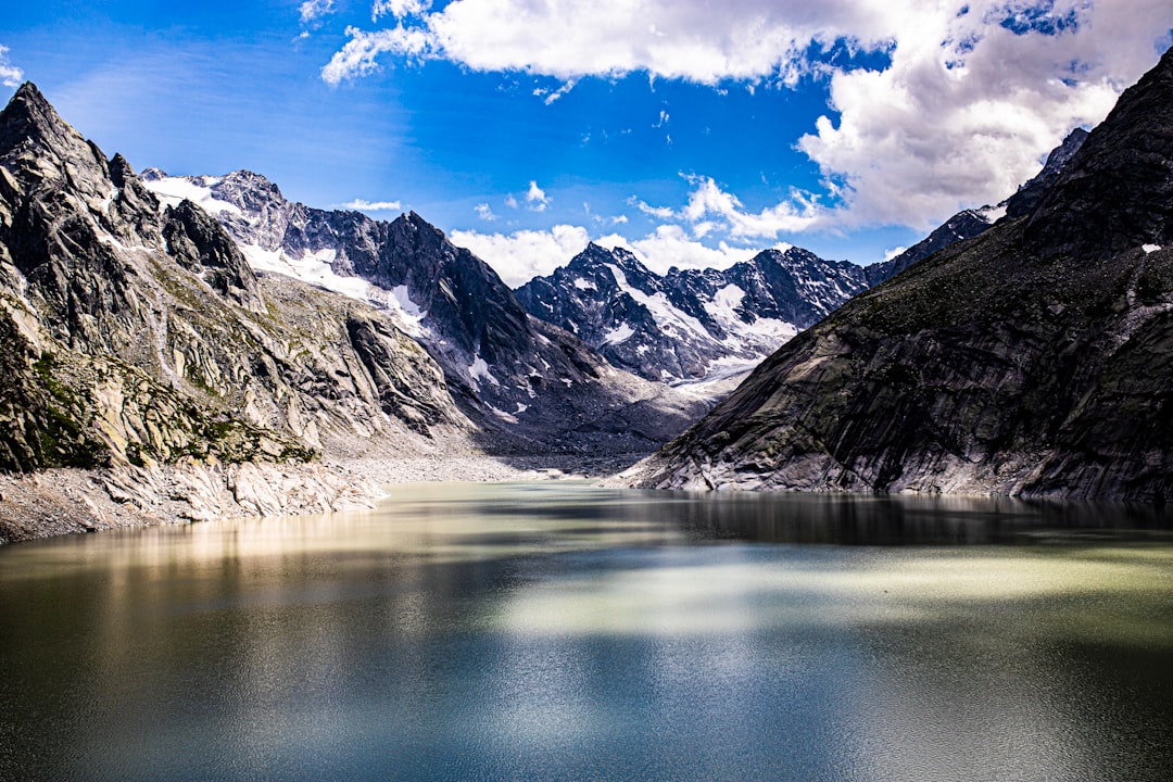
The ancient Teays River was altered by glaciation, with rivers in the Teays River watershed changing course as ice preventing their northward movement melted. Glacial presence caused lakes such as Lake Tight and Lake Monongahela to form along rivers, with overflow into nearby valleys causing large floods and new rivers to form, including the present-day Ohio and Scioto Rivers about 2 million years ago.
In northern North America, glaciers have been the largest reason rivers have changed their course, with many rivers that are now Great Lakes tributaries once blocked from that path by glaciers. The Wisconsin River once flowed into the Great Lakes Basin but was rerouted towards the Mississippi River due to glacial activity during the Pleistocene Epoch.
Mountain Building and River Redirection
Valleys may have been eroded into landscapes before tectonic features were developed, and if river downcutting can keep pace with rising structures, gorges will develop transverse to structural trends, creating antecedent canyons older than tectonic displacement. Antecedent canyons have been identified in the Alps, the Himalayas, the Andes, the Pacific coastal ranges, and every other region experiencing recent or ongoing tectonism.
Drainage divide location is influenced by tectonic uplift and horizontal advection, with mountain asymmetry increasing with increasing uplift gradient and advection velocity, providing frameworks to constrain tectonic uplift from divide locations. In mountain building settings like the Himalaya or Andes, erosion rates are high and river anticlines form with zones of uplift between 50-80 kilometers wide along major rivers.
Climate’s Role in River Reversals
As mountains rise, they intercept more moist airflow and receive more rainfall, which in turn boosts erosion rates. Mountains are created and shaped not only by tectonic plate movements but also by climate and erosion, with interactions between tectonic, climatic and erosional processes controlling mountain shape, maximum height, and build time, where shaping depends as much on destructive erosion as on constructive tectonics.
The topography of an area determines surface runoff velocity and erosive power, with longer, steeper slopes more prone to higher erosion rates during heavy rainfall than shorter, gradually sloping areas, so large mountain ranges have significantly higher erosion rates. Global cooling intensified erosion in many mountain ranges, with stepped-up erosion in river and glacial valleys resulting in increased uplift of mountain summits as isostasy compensated for mass removal.
The Modern Mystery Continues
Research opens new conversations about how tectonic forces, erosion, and climate shifts can radically redesign Earth’s most significant landscapes, even redirecting rivers the size of the Amazon. Ongoing research hopes to untangle further details about how often great rivers changed course and whether they always followed the same geologic script, or if there were periods when rivers meandered in multiple directions before settling into singular flows.
Scientists use satellites, seismic sensors, and advanced modeling to anticipate river reversals by studying subtle shifts in land elevation, water flow, and weather patterns, providing crucial knowledge for disaster preparedness, though the sheer power of nature means surprises still happen overnight. Backward-flowing rivers are more than geographical oddities; they are symbols of Earth’s endless change.
Conclusion
The story of rivers that ran backward for millions of years reveals Earth as a dynamic, ever-changing planet where nothing remains static forever. These ancient waterways didn’t just change direction – they rewrote entire continents, carved new valleys, and shaped the very landscapes we inhabit today. From the Amazon’s million-year journey from west to east, to the buried Teays River that once drained half of North America, these geological reversals remind us that our planet operates on timescales that dwarf human experience.
What strikes me most about these ancient river reversals is how they challenge our perception of permanence. The next time you cross a bridge or stand beside flowing water, remember that this river may have once flowed in the complete opposite direction, carrying different sediments to different seas under entirely different skies. What do you think our modern rivers will look like a million years from now?