
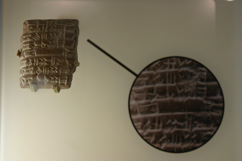
There’s something almost eerie about reading a clay tablet written over four thousand years ago and realizing: they were right about a lot of things. For a long time, Sumerian cuneiform texts were dismissed as a mix of myth, priestly imagination, and royal bragging. Yet decade after decade, archaeologists with trowels, satellites, and lab tests keep discovering that many of those tiny wedge marks in clay were surprisingly grounded in reality.
This does not mean every Sumerian story is literal history or that we should treat ancient texts like science textbooks. But when you line up what the tablets say with what’s been dug out of the ground, a pattern appears. In some key areas, the Sumerians recorded their world with startling accuracy – from cities and kings to floods and farming. Let’s walk through nine places where the clay and the spade now agree.
1. Real Cities: Uruk, Ur, Nippur And Beyond
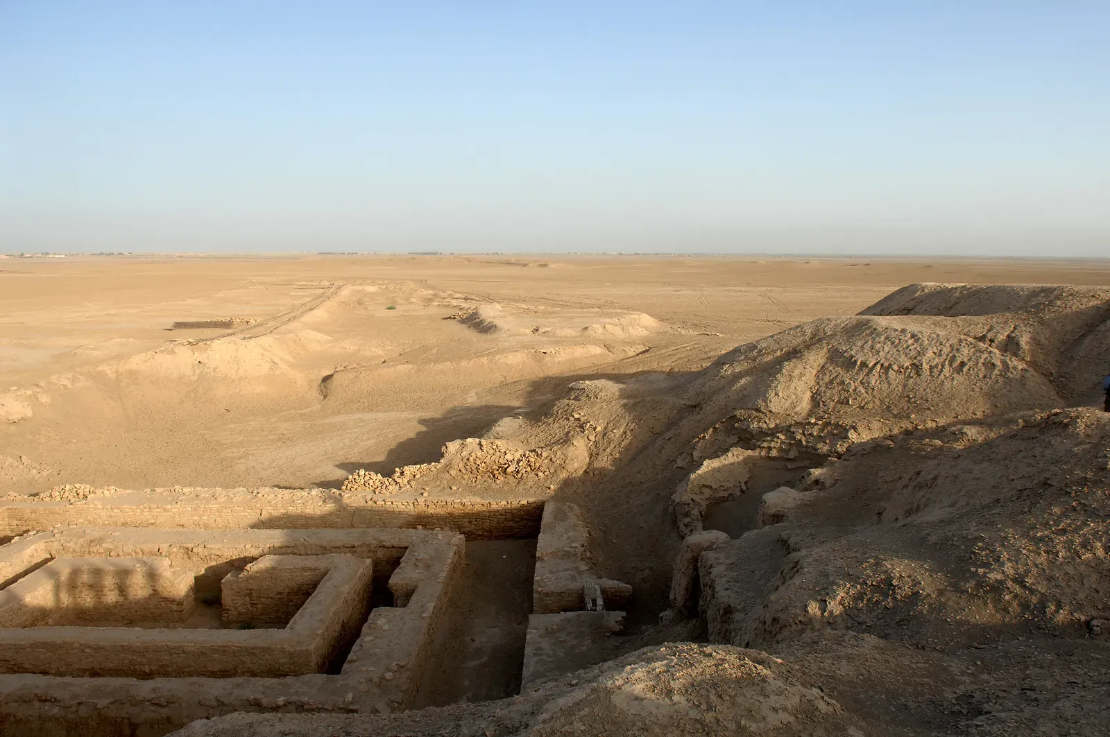
One of the most striking confirmations is simply this: the cities the Sumerians wrote about actually existed, and in many cases they were just as important as the texts suggest. Early readers of cuneiform once wondered if names like Uruk or Lagash were partly legendary or exaggerated. Excavations have shown the opposite; places such as Uruk, Ur, Nippur, Kish, and Lagash were large, complex urban centers with temples, administrative quarters, and dense residential areas matching their starring roles in the tablets.
City lists, royal inscriptions, and temple records in cuneiform describe each city’s temples, deities, and political weight in the region. Archaeologists have uncovered ziggurats, monumental courtyards, and entire neighborhoods that line up closely with the way the texts rank and describe these sites. The image that emerges is not of vague myth-towns but of a real, interconnected urban landscape that can still be walked today, even if only as dusty mounds and broken bricks.
2. A Surprisingly Accurate Map Of Southern Mesopotamia
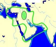
Sumerian cuneiform tablets do more than name cities; they sketch out how those cities relate to each other in space. Administrative and literary texts often list cities along routes and rivers in an order that once seemed arbitrary. Modern surveys, satellite imagery, and on-the-ground excavations have shown that these sequences often mirror real geographic relationships in southern Mesopotamia, especially along the Euphrates and Tigris river branches and ancient canals.
In other words, when a tablet mentions a journey from one city to another and then to a third, we often find those places in roughly that order on the landscape. Canal names, border descriptions, and “frontier” towns mentioned in the texts now correspond to physical remains and landscape features. The Sumerians were not drawing lines on a modern-style map, but their written itineraries, land grants, and boundary disputes amount to a kind of mental map that archaeology has repeatedly confirmed as grounded in the real layout of their world.
3. Historical Kings And Dynasties Behind The Myths
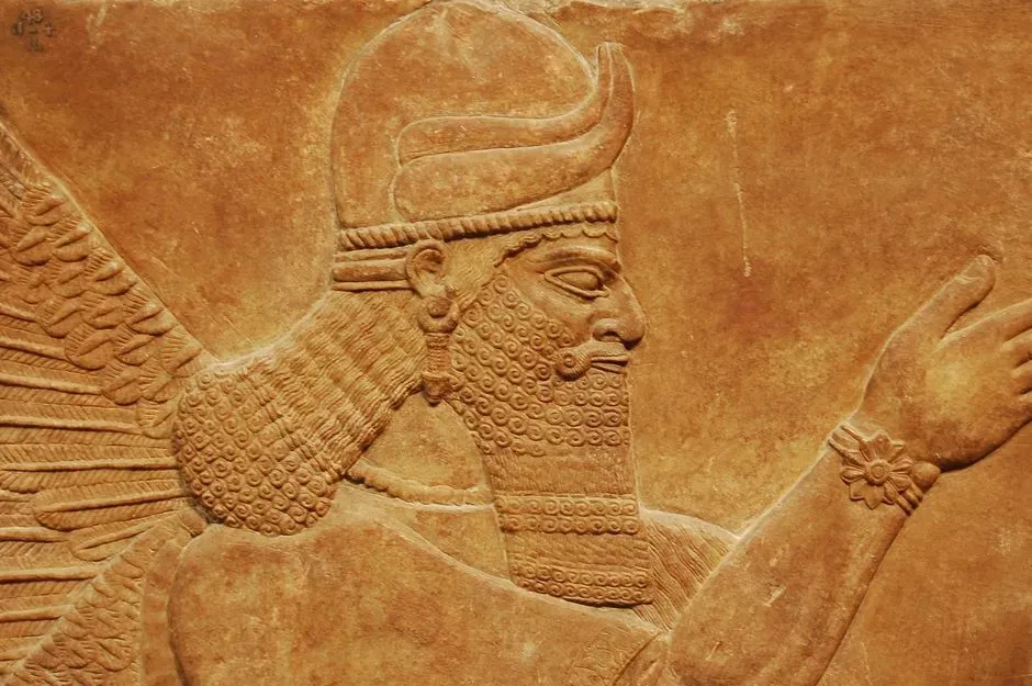
Many people first meet Sumerian history through grand stories of kings in epic tales. It would be easy to assume those rulers are pure fiction. Yet royal inscriptions, administrative tablets, and a document now called the Sumerian King List preserve names of kings and cities that archaeology has independently verified. Rulers of cities like Ur, Uruk, Kish, and Lagash who appear in texts are now known from stamped bricks, foundation deposits, and carved stone monuments dug up from their actual building projects.
There is plenty of myth-making and exaggeration – some kings are said to rule for impossibly long spans, clearly symbolic rather than literal. But once you discount the obvious legendary layers, a solid historical core remains. The sequence of certain dynasties, the reality of specific rulers, and even some of the political rivalries described in the tablets now align with stratified building levels, destruction layers, and dated artifacts. The tablets did not perfectly preserve history, but they preserved enough of it that archaeology keeps bumping into their kings in the ground.
4. The Great Flood Traditions And Real Catastrophic Flooding
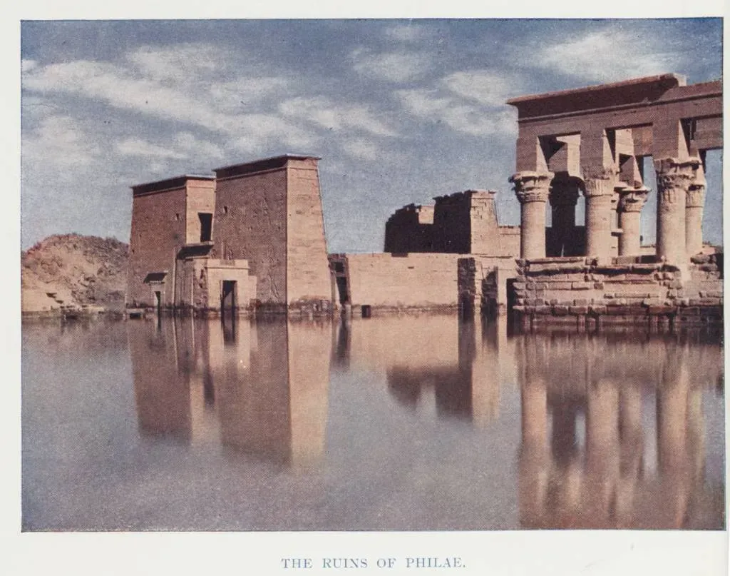
Flood stories show up again and again in Sumerian and later Mesopotamian texts: tales of a huge deluge, a chosen survivor, and a world reshaped by water. For a long time, many researchers treated these as purely symbolic or theological. Over the last century, excavations in several Mesopotamian cities have uncovered distinct, thick flood deposits that interrupt normal occupation layers – physical evidence that communities were periodically hit by major, destructive floods.
These flood layers do not prove that a single, global, all-destroying event took place the way later retellings sometimes imply. What they do support is the idea that the Sumerians lived with very real episodes of massive river flooding powerful enough to bury parts of cities and force rebuilding. The fact that flood narratives are concentrated in a culture where the soil literally preserves traces of severe inundations is not a coincidence. The texts capture the emotional and religious reaction to real environmental disasters that archaeology can actually see in the sediment.
5. Advanced Irrigation Agriculture And Water Management
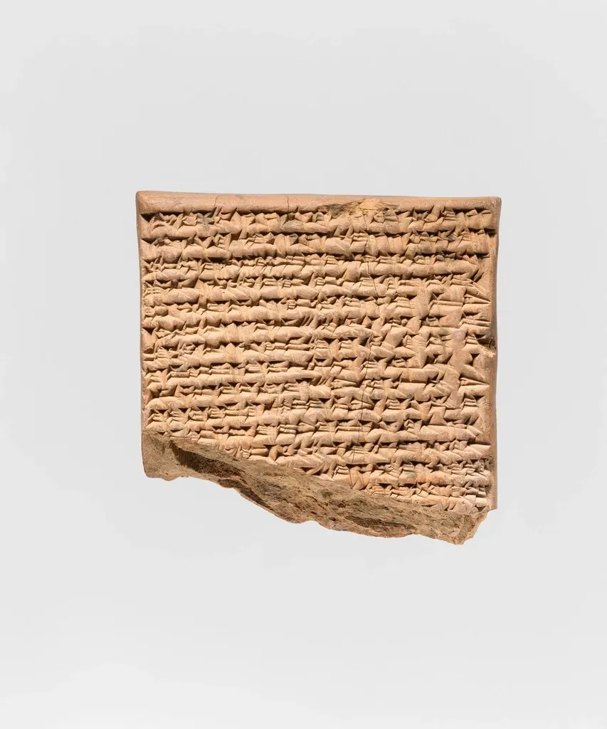
Cuneiform documents from Sumer are obsessed with water: canals, dikes, sluices, and irrigation schedules show up everywhere in legal contracts, land surveys, and temple accounts. Some early outsiders suspected the texts were idealizing a carefully ordered water system that might not have existed in practice. Field surveys and geoarchaeological work have since traced extensive networks of ancient canals, feeder channels, and embankments that match the scale and complexity implied in the tablets.
Archaeologists have mapped abandoned canal beds that run for long distances and link cities mentioned together in administrative texts. Soil studies and botanical remains indicate irrigated fields of barley and other crops arranged in patterns similar to those described in land allotment and tax records. In short, the Sumerians really did engineer a heavily managed landscape, and their bureaucratic obsession with water management was not just a scribal fantasy. It was a written reflection of a system so large it literally reshaped the environment – something the ground still records.
6. Everyday Economy: Barley, Silver, Wool, And Rations
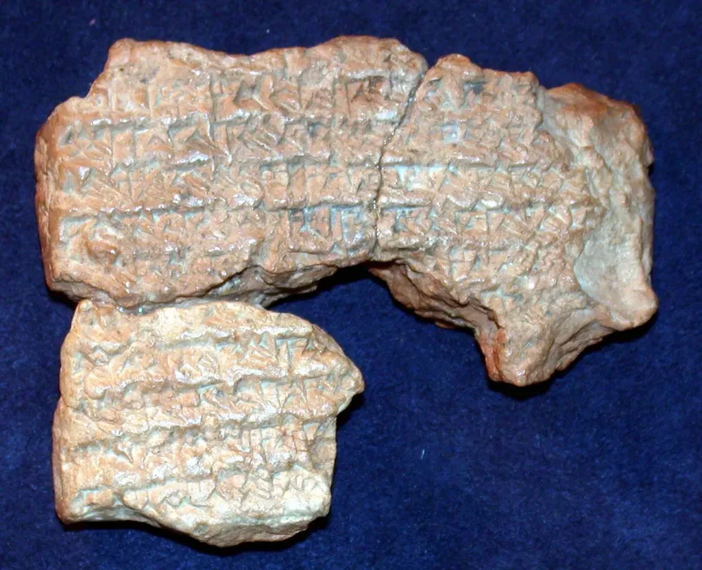
One of the most human parts of the Sumerian record is how mundane many tablets are. They tally barley rations, wool deliveries, labor assignments, and silver payments with almost numbing detail. At first glance, these might seem like dry lists with limited value beyond curiosity. Archaeology, however, has repeatedly confirmed that the economic world behind these numbers was very real: grain silos, storage jars, animal pens, and workshops all line up with the goods and processes described.
Analysis of plant remains from ancient storage areas matches the crops heavily featured in the texts, especially barley. Findings of loom weights and textile tools back up the constant references to wool and cloth production. Evidence of standardized weights and measures from excavations fits the impression that commodity exchange was regulated and carefully tracked. If you took a Sumerian accounting tablet listing rations and looked for its physical counterpart on a site – a storeroom, a jar, a granary – you would often find something that makes those wedge marks feel less like abstract math and more like a receipt for a real delivery.
7. Temples, Ziggurats, And The Role Of City Gods
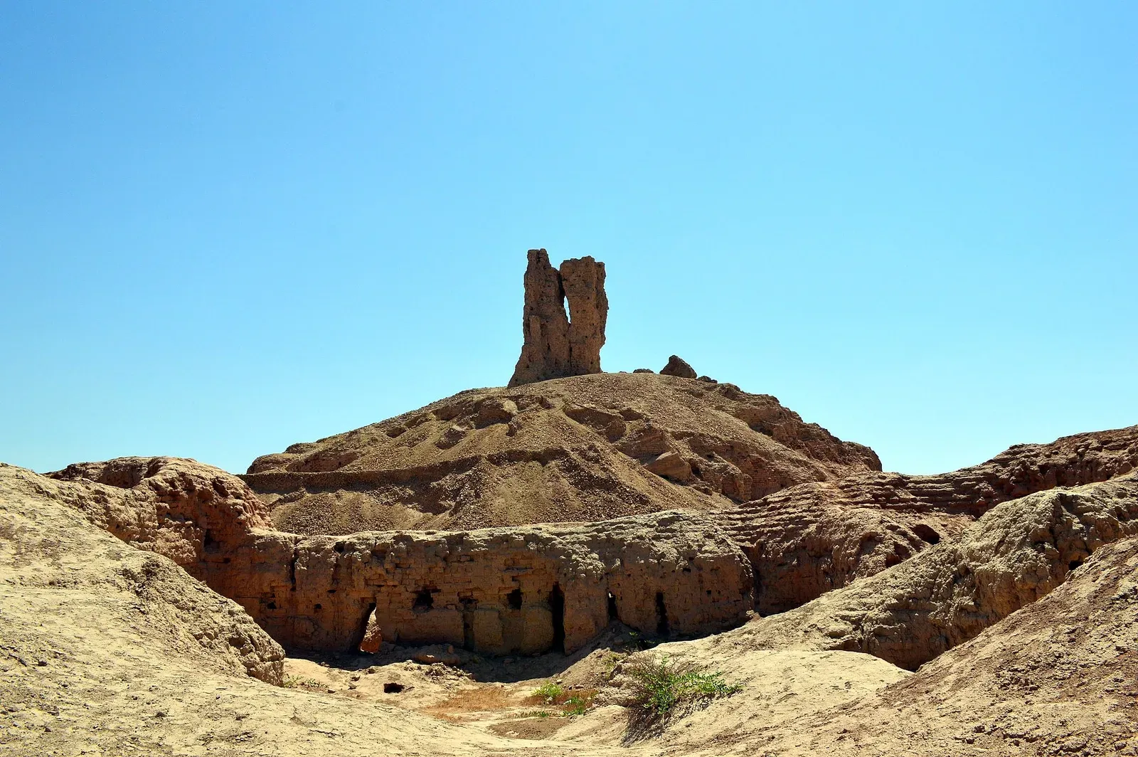
Sumerian texts describe their cities as belonging to particular gods and goddesses, each with a main temple that functioned as religious center, political hub, and economic powerhouse. For a while, there was debate over whether scribes had exaggerated the dominance and grandeur of these temple complexes. Excavations at cities like Ur, Nippur, and Uruk have shown that the temple districts were indeed massive, with layered rebuilding phases, courtyards, storage rooms, and monumental platforms consistent with the ziggurats and sanctuaries described in the texts.
Inscriptions on bricks and foundation deposits often name the deity and the ruler responsible for construction or renovation, matching the names and titles in written accounts. The layout of these complexes – with central sacred areas surrounded by spaces for storage, workshops, and administration – fits the cuneiform picture of temples as large institutional players in the city’s life, not just small shrines. The tablets’ portrayal of temples as landlords, employers, and political actors is, if anything, conservative when stacked next to the scale of the physical remains.
8. Trade Networks Stretching Far Beyond Sumer
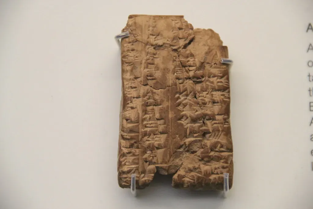
Cuneiform texts repeatedly mention goods that clearly did not originate in Sumer: timber from distant mountains, metals from far-off lands, and luxury stones treasured in temples and palaces. For a long time, the exact routes and sources were debated, and there was a risk of assuming that some of these trade claims were inflated. Archaeological discoveries have since traced many of those materials back to plausible origin regions, confirming that Sumerian cities were plugged into wide-ranging trade networks.
For example, imported stones, shells, and metals found in Sumerian levels can be analyzed for their chemical or geological signatures, which often point to regions mentioned or implied in the tablets. Ship representations, dock areas, and certain coastal and riverine sites provide physical contexts for the commerce that the texts describe in contracts and inventories. While the exact details of every journey remain fuzzy, the big picture is unmistakable: the Sumerians were not imagining a connected world; they were documenting one they actively navigated.
9. Writing, Schools, And The Training Of Scribes
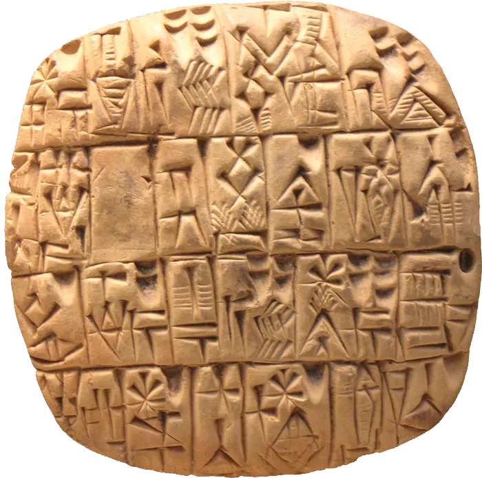
Finally, some of the most self-referential Sumerian texts are about writing itself. Exercise tablets, proverbs, and school-related compositions paint a picture of a formal scribal education system where students practiced signs, copied classic texts, and learned standardized formats for legal and administrative documents. At first, this could sound like literary nostalgia for an ideal school. Archaeologists have literally found what amount to ancient classrooms, complete with clusters of student tablets, discard piles, and repeated practice copies of standard texts.
The distribution of tablet types in different parts of cities supports the idea of specialized spaces for training versus offices for trained scribes. The progression from simple sign drills to more complex legal and literary texts visible in tablet collections mirrors the stages of education described in the compositions. When you hold a clumsy student exercise tablet in one hand and read about a nervous trainee scribe in a cuneiform text with the other, you are seeing two sides of the same reality: the Sumerians were not only pioneering writing, they were also accurately recording how they taught it.
Conclusion: Clay Tablets, Human Memory, And Why It Matters
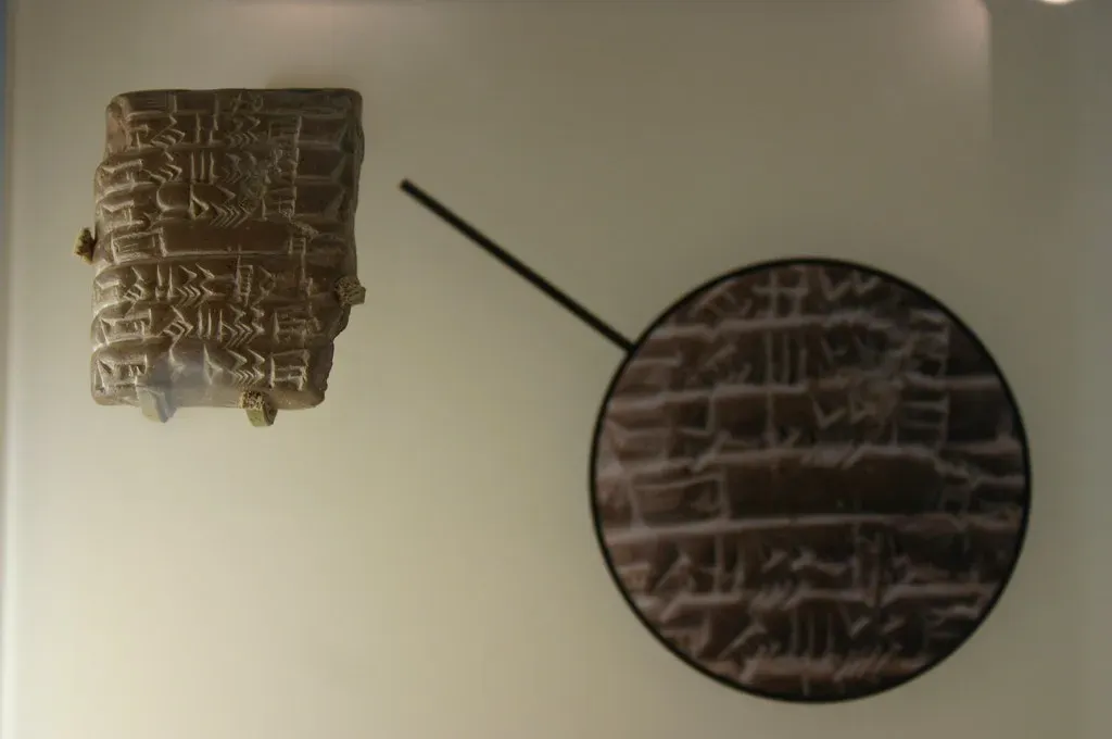
What all of this adds up to is a sobering reminder that people thousands of years ago were not wandering around in a fog of fantasy. Yes, they wrapped their world in myths, divine explanations, and royal boasting. But underneath that, their cuneiform texts captured real cities, real floods, real kings, real trade routes, and real institutions in a way that stands up when we test it against the soil and the ruins. The more archaeologists dig, the more often the spade quietly nods along with the stylus.
Personally, I think this should make us a bit more cautious when we casually dismiss ancient texts as just stories. They are stories, but they are also data – messy, biased, emotional data, yet still data about how people lived, organized their societies, and understood their place in a very real landscape. The Sumerians wrote in clay, and we check them with satellites and lab tests, but we are both trying to answer the same basic question: what kind of world is this, and what are we doing in it? When you look at it that way, does it surprise you how often four-thousand-year-old wedge marks still get the big picture right?