There’s a particular stretch of coastline in the northwest of Scotland where the ground underfoot looks unremarkable at first glance. Grey, streaked, weathered by wind and rain. Yet geologists who have spent careers studying this landscape will tell you that a short walk here covers more time than almost anywhere else you could stand on Earth’s surface.
That contrast between the plainness of the rock and the scale of what it represents is part of what makes this corner of Scotland so quietly extraordinary. Before diving into the numbers and the science behind them, it helps to understand what actually makes this stone so unusual, and why a casual hike can double as a walk through nearly a third of the planet’s entire history.
Rock That Remembers a Younger Earth
The rock in question is known as Lewisian gneiss, named after the Isle of Lewis in the Outer Hebrides, though it also stretches across parts of the northwest Scottish mainland. Most of the Outer Hebrides is comprised of Lewisian gneiss, the name being derived from the isle of Lewis, and the Lewisian gneisses represent the oldest rocks in Britain and date back to around 3000 million years ago. That single fact tends to stop people in their tracks once it actually sinks in.
The Lewisian complex is a suite of Precambrian metamorphic rocks that outcrop in the northwestern part of Scotland, forming part of the Hebridean terrane and the North Atlantic Craton. A craton, in plain terms, is a chunk of continental crust so old and so stable that it has survived the churn of plate tectonics largely intact for billions of years. Standing on it isn’t like standing on ordinary bedrock. It’s closer to standing on a fossilized fragment of the planet’s earliest crust, one that somehow avoided being melted, subducted, or ground away entirely.
Dating the Undatable: How Geologists Pin Down Billions of Years
Figuring out the age of rock that has no fossils, no tree rings, and no written record relies almost entirely on radiometric dating, a technique that measures the decay of naturally occurring radioactive isotopes locked inside mineral crystals. These rocks are of Archaean and Paleoproterozoic age, ranging from 3.0 to 1.7 billion years. That range isn’t sloppy imprecision on the part of scientists. It reflects the fact that this rock didn’t form in one single event, but through repeated cycles of burial, heating, and transformation stretching across enormous spans of time.
Most of the rocks comprising the Lewisian were formed prior to 2800 million years ago and were repeatedly modified under conditions of high temperature and pressure deep within the earth’s crust. Researchers have identified distinct metamorphic episodes within the complex, often referred to as the Scourian and Laxfordian events, each leaving its own chemical fingerprint behind. The Lewisian Gneiss Complex is a product of a multi-phase depositional, intrusive, deformational and metamorphic history that spans the time period between some 3100 million years ago and some 400 million years ago. In other words, this isn’t a rock that formed once and then simply sat still. It kept getting reworked, buried, and cooked again long after its original formation.
Where the Ancient Crust Breaks the Surface
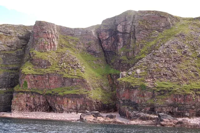
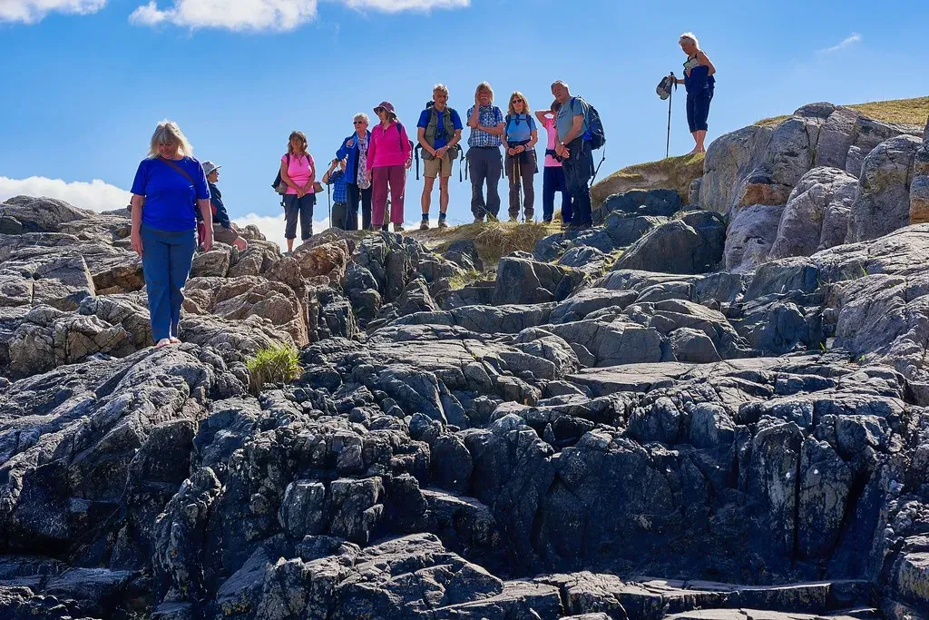
The best known exposures sit in the Outer Hebrides, particularly on Lewis and Harris, though the rock isn’t confined to the islands. It is also exposed on several islands of the Inner Hebrides, small islands north of the Scottish mainland, and forms a coastal strip on the mainland from near Loch Torridon in the south to Cape Wrath in the north. That stretch of northwest coastline, wild and sparsely populated even today, is essentially a long, weathered window onto Archaean Earth.
Some of the very oldest fragments turn up further south than you might expect. The rocks of the Outer Hebrides are the very oldest rocks to naturally surface in the United Kingdom, with some in Barra well over 3 billion years old. Beyond Scotland’s shores, this ancient crust has relatives elsewhere on the globe. These ancient rocks have counterparts in Canada and Greenland, showing that Scotland once belonged to the same land mass, known as Laurentia. It’s a reminder that continents haven’t always sat where they do now, and that this Scottish stone was once joined to crust thousands of miles away.
A Planet Without Complex Life
To grasp why this matters scientifically, it helps to place the rock’s formation against the timeline of life on Earth. When the oldest Lewisian material first crystallized, the planet’s atmosphere was still low in free oxygen, and nothing resembling an animal, plant, or even a simple multicellular organism existed anywhere. By around 2,500 million years ago this life had, by photosynthesis, established a permanent oxygen-containing atmosphere. That milestone came after much of the Lewisian gneiss had already formed, which tells you just how far back this rock’s origins actually reach.
Complex, multicellular life as we would recognize it didn’t appear until hundreds of millions of years later still, and animals with hard shells or skeletons only entered the fossil record around five hundred and forty million years ago. Against that backdrop, rock that solidified two and a half to three billion years ago predates not just dinosaurs or fish, but the entire concept of a visible, complex organism. At nearly 3 billion years old, Lewisian gneiss predates not only the rise of complex life but also the formation of most modern continents. Few places on Earth let you physically touch something from that far back in the planet’s biography.
The Layers That Came After: Torridonian Sandstone and the Caledonian Mountains
The Lewisian gneiss didn’t remain buried and forgotten once it formed. Over time it became a foundation, quite literally, for younger rock layers deposited on top of it. The Lewisian rocks form the basement on which the Stoer Group, Wester Ross Supergroup and probably the Loch Ness Supergroup sediments were deposited. These younger sedimentary sequences, often called Torridonian rocks, are themselves ancient by ordinary standards, yet they are mere newcomers set against the gneiss beneath them.
Millions of years later, an entirely separate mountain building event reshaped the region again. Rocks of the Lewisian complex were caught up in the Caledonian orogeny, appearing in the hanging walls of many of the thrust faults formed during the late stages of this tectonic event. That collision, which helped raise the peaks we now call the Scottish Highlands, folded and faulted the ancient basement rock without erasing it. The result is a landscape where genuinely different chapters of Earth’s history sit stacked on top of one another, visible in a single cliff face if you know what you’re looking at.
Reading the Story in Bands, Dykes and Fault Lines
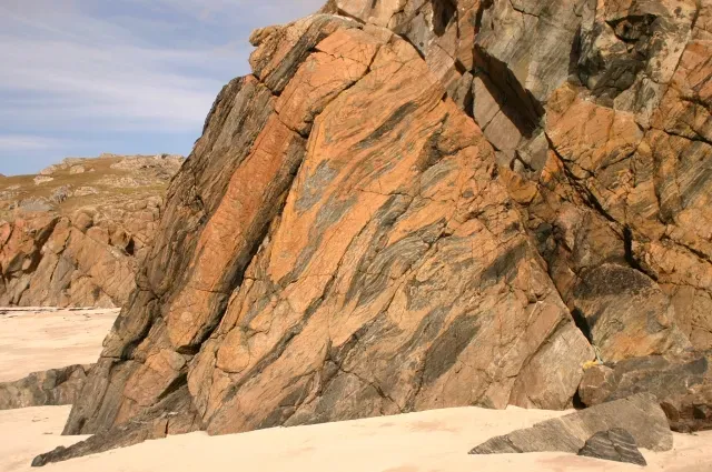
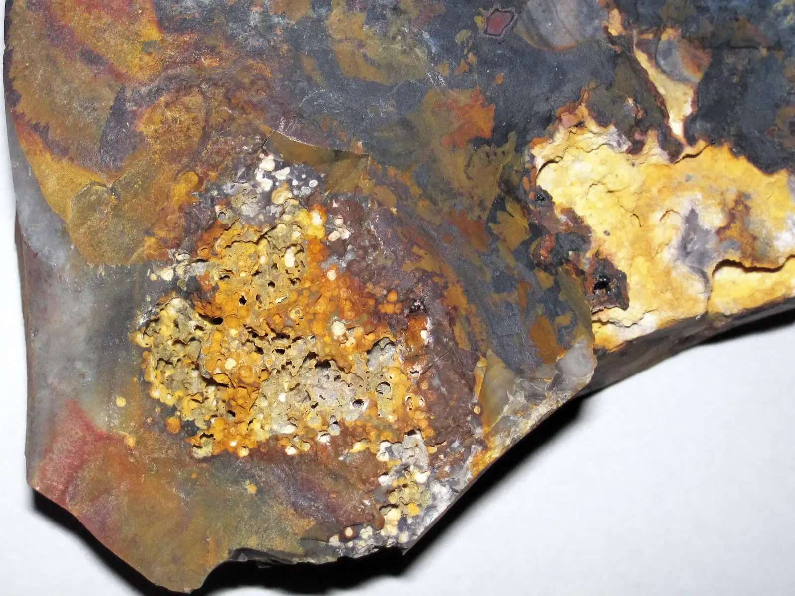
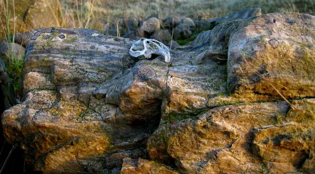
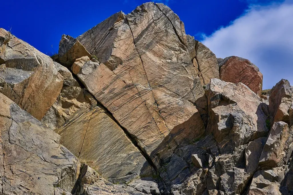
Part of what makes Lewisian gneiss so compelling to look at, beyond its age, is that it visibly records the violence of its own formation. Lewisian rocks originally consisted of both igneous and sedimentary rocks that have been altered from their original composition and structure through time by heat, pressure, and the action of solutions, and the dominant rock type is grayish gneiss rich in quartz, feldspar, and iron-rich minerals. Those alternating light and dark bands aren’t decorative. They mark mineral layers that were physically separated and realigned under crushing pressure deep inside the crust.
Cutting through many outcrops are darker streaks known as the Scourie dykes, injections of molten rock that forced their way into cracks in the older gneiss long after it had already formed. A swarm of dolerite dykes, known as the Scourie dykes, were used as markers to separate the tectonic and metamorphic events into a Scourian event that occurred before their intrusion and a later Laxfordian event that deformed and metamorphosed members of the same dyke swarm. Geologists have leaned on those dykes for decades as a kind of internal clock, a way to sort out which deformation events happened before the dykes arrived and which happened after. It’s a rare case where the rock essentially hands scientists a built in timestamp.
Standing on Deep Time: A Closing Reflection

There is something genuinely humbling about a landscape that renders human history, even all of recorded human history, statistically invisible by comparison. A walk across Lewisian gneiss covers ground that predates the Atlantic Ocean, predates the Himalayas, and predates every animal that has ever lived. That’s not exaggeration for effect. It’s simply what the radiometric dates and the geological record show, repeatedly, across decades of careful fieldwork.
What strikes me most isn’t just the number of years involved, though that alone is staggering. It’s how ordinary the rock looks while carrying that weight of time. No signage announces it, no dramatic color sets it apart from a Tuesday afternoon walk along a Hebridean beach. I’d argue that’s precisely why it deserves more attention than it gets. In an era obsessed with novelty and speed, there’s real value in a landscape that quietly insists on the opposite, that some of the most profound things on this planet are also the oldest, the plainest, and the easiest to walk right past without noticing.