
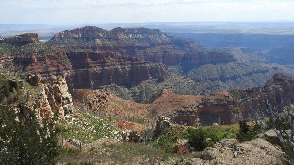
Try, just for a second, to erase the familiar map of North America in your mind: no Rockies slicing the continent’s spine, no Great Plains stretching endlessly, no Grand Canyon carving into desert rock. During the age of dinosaurs, the land under your feet was part drowned, part jungle, and part volcanic chaos, stitched together in a way that would make today’s atlas look almost unrecognizable. New geological discoveries keep forcing scientists to redraw that ancient map, and the result is far stranger and more dramatic than most people realize.
What makes this especially fascinating is that the evidence is literally buried below us: microscopic grains of sand, twisted layers of rock, and the chemistry of long-solidified magma are all whispering the same story. They point to inland seas where today you’d drive through wheat fields, tropical swamps in regions now buried under snow, and mountain ranges still in their geological childhood. Let’s walk through what geologists are finding – and why it completely changes how we picture dinosaur-era North America.
A Continent Cut in Half by a Shallow Inland Sea
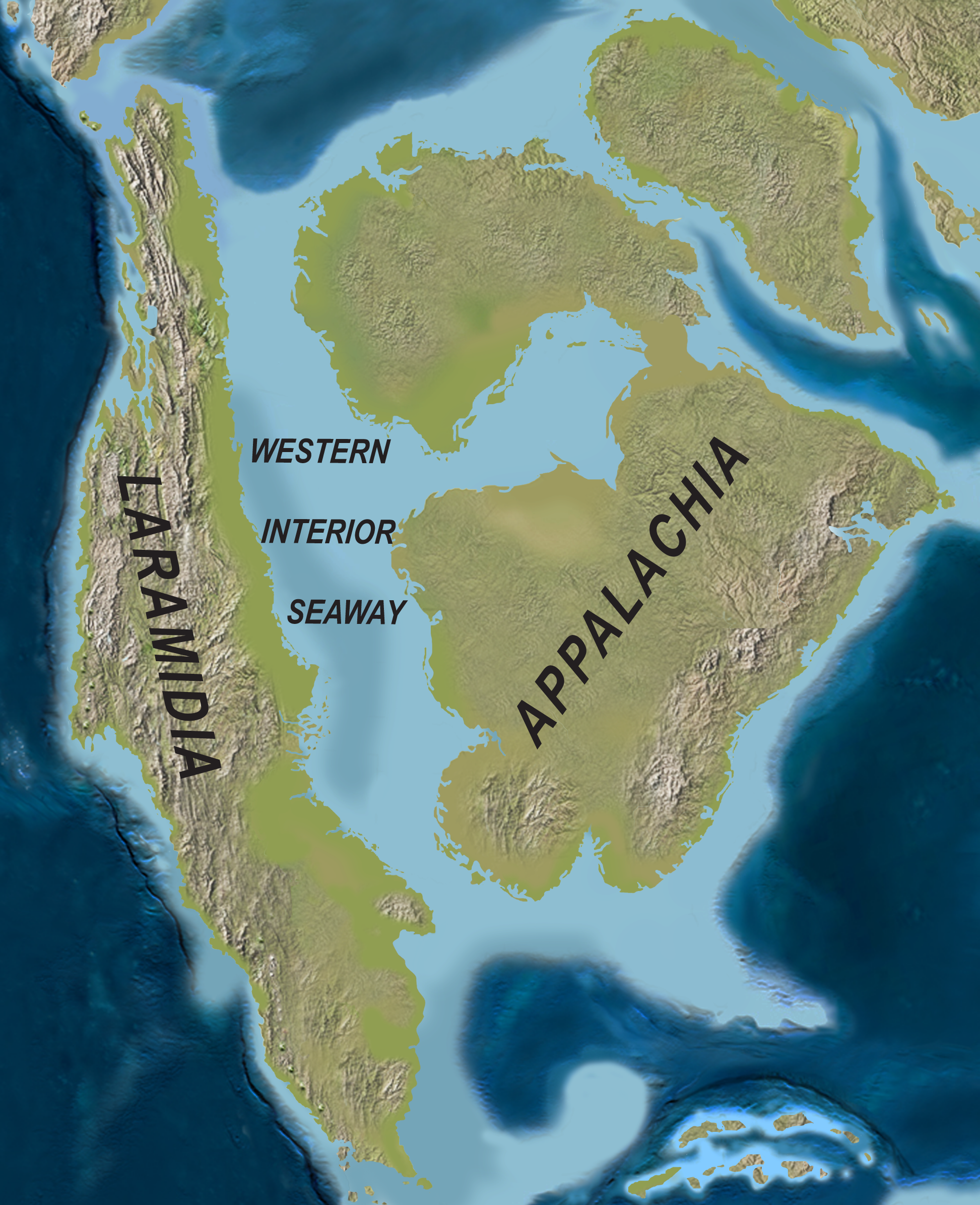
One of the most startling features of dinosaur-age North America is something we no longer see at all: a vast, shallow sea running from the Arctic Ocean in the north down into what’s now the Gulf of Mexico. Geologists call it the Western Interior Seaway, and during parts of the Late Cretaceous it effectively sliced the continent into two long islands. Instead of driving from Colorado to Kansas, you’d need a boat, and you might be sailing over warm, relatively shallow water teeming with marine reptiles and strange shelled creatures.
The evidence for this ancient seaway is rock-solid – literally. Thick layers of marine shale and limestone filled with fossils of open-ocean creatures are preserved across the middle of the continent, from Canada down through the central United States. In places like the Great Plains, what looks like endless flat farmland is actually the buried floor of that seaway, smoothed by ancient currents and later draped in soil. It’s a strange thought: the “heartland” of North America was once the bottom of a warm inland ocean.
No Rockies Yet: A Younger, Flatter Western Landscape
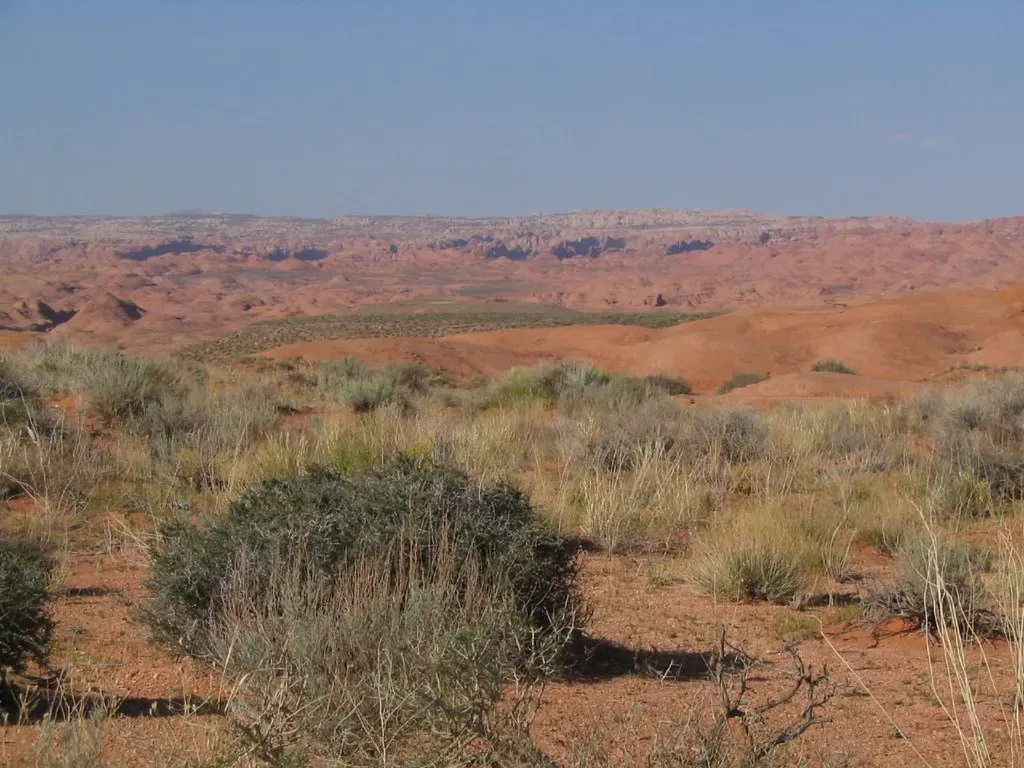
If you’ve ever flown over the western United States and stared at the Rockies, it’s hard to imagine North America without them. But during much of the Mesozoic era, especially early on, the landscape in what is now Colorado, Wyoming, and Montana was lower, flatter, and still in the process of being reshaped by distant tectonic forces. The towering peaks we know today are relatively young in geological terms, much of their dramatic uplift happening during the Late Cretaceous and into the early Cenozoic, after many famous dinosaurs had already vanished.
New seismic imaging and detailed field studies show that the early phases of mountain building were happening far inland from the plate boundary in the west. Instead of one sharp, high mountain chain, there were broad zones of low to moderate uplands, basins, and volcanic arcs. Imagine a landscape more like rolling highlands and floodplains, punctuated by active tectonic zones and volcanic regions, rather than the razor-edged ranges and deep valleys carved later by ice and rivers. The western dinosaur world, in other words, was wilder in some ways – but it did not yet have the spine of stone we take for granted today.
Tropical Swamps Where Snowy Forests Stand Today
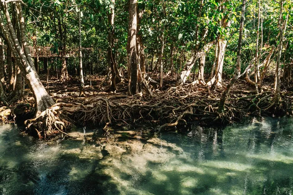
It feels almost like a joke to say that parts of what is now Canada and the northern United States were once home to lush, near-tropical environments. Yet plant fossils, coal seams, and certain types of soil horizons point squarely to warm, humid climates during long stretches of the age of dinosaurs. Areas that now deal with brutal winters and boreal forests once hosted rich river deltas, mangrove-like shorelines, and dense, fern-filled lowlands under a greenhouse climate.
Geologists and paleobotanists piece this together by looking at fossil pollen, plant impressions, and the kinds of sediments that form in swampy, low-oxygen environments. Thick coal beds in some northern regions are the compressed remains of vast prehistoric wetlands. It means that dinosaurs were not just scraping by in a marginal landscape there; they were thriving in environments that, to us, would feel closer to a hot, sticky coastal jungle than to today’s chilly northern woods. The contrast with modern climate patterns could hardly be sharper.
East vs. West: Two Very Different Dinosaur Worlds
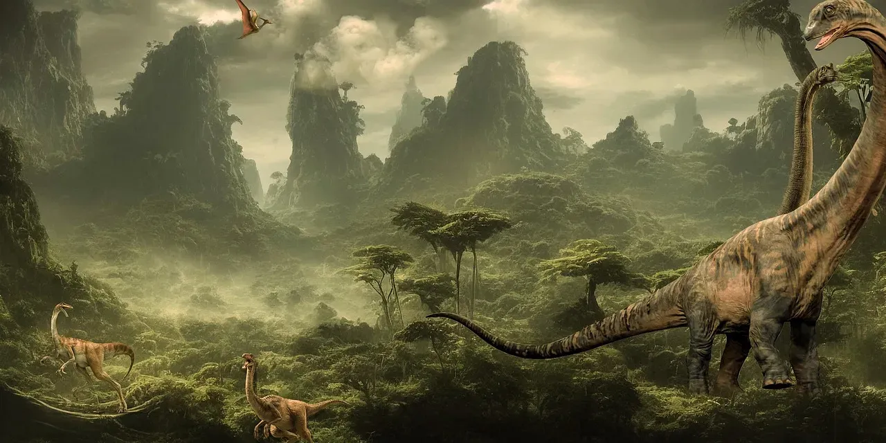
Because that inland seaway split North America, the dinosaurs living on each “side” evolved in partially separate worlds. Paleontologists sometimes refer to the western landmass as Laramidia and the eastern one as Appalachia. New fossil finds and geological mapping of the sediments laid down on each side suggest that these regions were not just physically separated but also environmentally distinct. The west hosted more dramatic uplands, active mountain building, and shifting river systems, while the east was dominated by lower, more stable coastal plains and deltas.
Even when dinosaur fossils are patchy, the rocks they are buried in tell us a lot about their habitats. On the western side, you get stacked river-channel deposits, floodplains, volcanic ash layers, and shifting environments in response to changing mountain loads. On the eastern side, you see more evidence of broad coastal wetlands, barrier islands, and marine influences from the nearby seaway and Atlantic margin. In a way, dinosaur-era North America contained two parallel stories playing out at once, with different climates, landscapes, and evolutionary pressures shaping the animals and plants in each region.
Volcanic Arcs and Subduction Zones Along the Ancient West Coast
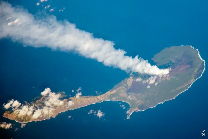
Modern North America’s west coast is tectonically active, but the setup during the dinosaur age was even more complicated and, in some ways, more intense. Instead of a clean interaction between a large oceanic plate and the continent, geologists see evidence of multiple smaller plates and island arcs colliding and being subducted. This created long belts of volcanoes and deep basins along what was then the western margin, some of them far inland compared with today’s coastal chain.
New isotopic studies of volcanic rocks and deformed sediments have sharpened the picture: the western edge of dinosaur-era North America was a patchwork of colliding crustal fragments, island chains, and emerging mountain belts. That meant frequent volcanic eruptions, earthquakes, and dynamic changes in elevation over millions of years. Dinosaurs and other life in these regions were living in a landscape with an almost restless energy underfoot – a far cry from the stable cornfields and suburbs that occupy much of the interior West today.
Rivers, Deltas, and Mega–Floodplains Across the Interior
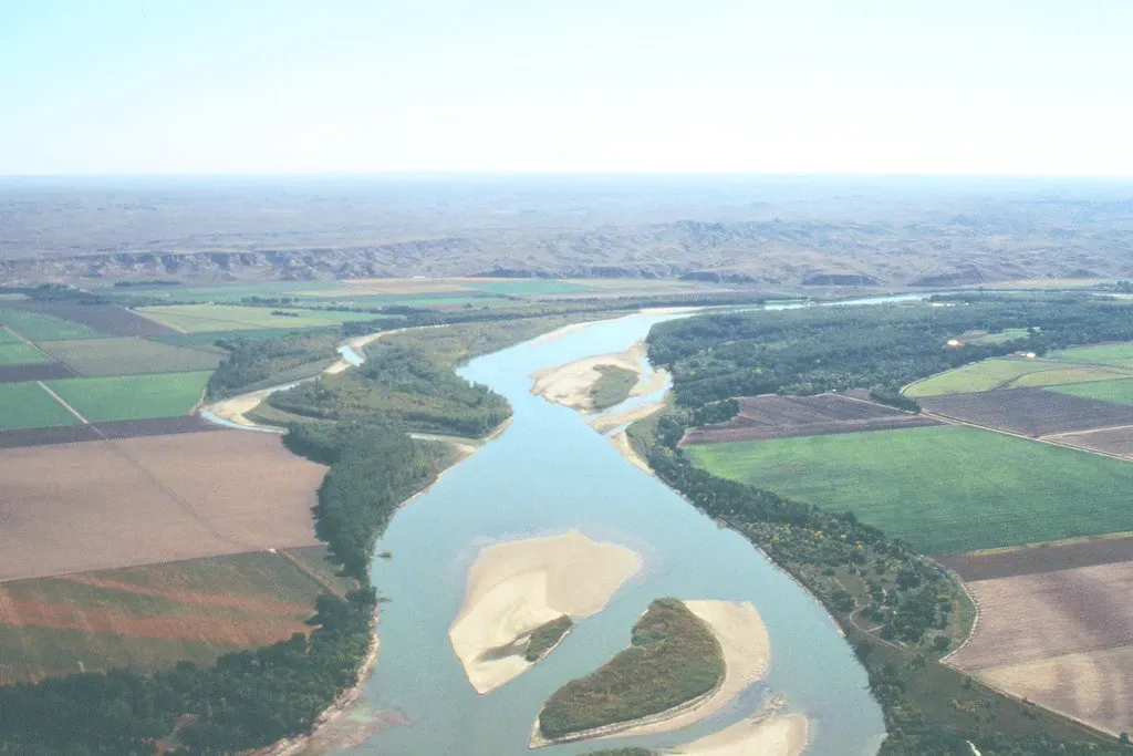
With sea levels high and mountain belts still evolving, the interior of dinosaur-age North America was crossed by gigantic river systems and broad floodplains. Many famous dinosaur fossil beds, especially in the western interior, come from ancient river environments where channels shifted, flooded, and abandoned their courses over and over again. Imagine something like a scaled-up Mississippi system, braided and wandering across a warm, low-lying land, dumping sediments into the edges of the inland sea.
The sediments left behind are like freeze-frames of these lost rivers: cross-bedded sandstones from migrating channels, fine mudstones from quiet floodplain ponds, and stacked paleosols – ancient soils – recording periods of stability between floods. This constant reworking created a mosaic of environments: sandbars, backwaters, oxbow lakes, and vegetated levees, all within relatively short distances. For dinosaurs, it meant a world of shifting resources and habitats, with new floodplains and wetlands opening up as others were buried or abandoned.
Climate Swings and Sea Level Changes Reshaping the Map
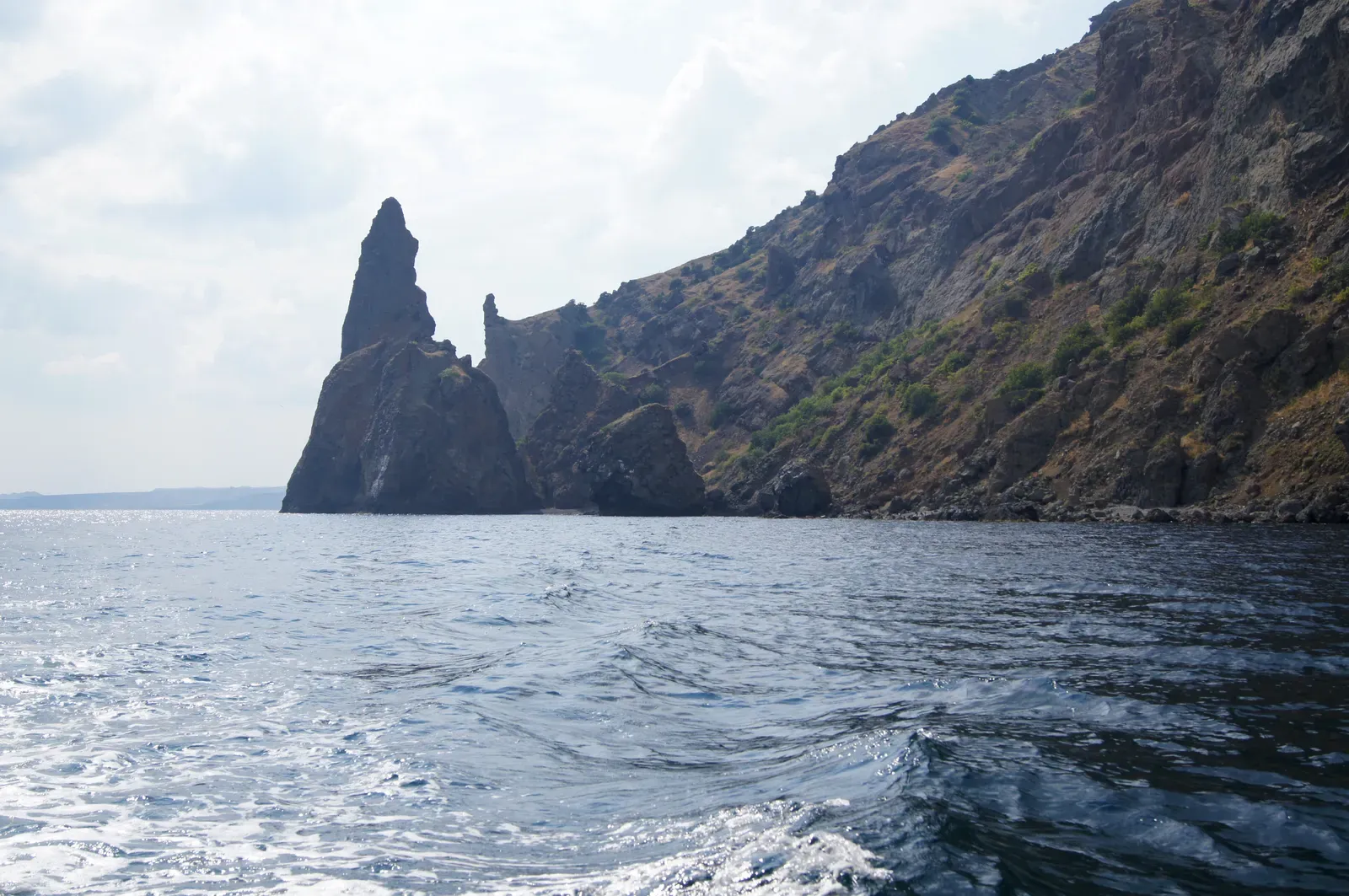
One trap people fall into is imagining the age of dinosaurs as a single, fixed setting: warm, wet, and unchanging. The geological record tells a different story. Over the roughly 180 million years from early dinosaurs to their mass extinction, climate and sea levels rose and fell repeatedly. These swings flooded low-lying regions, then drained them again, advanced shorelines hundreds of miles inland, and then pulled them back toward the coasts. North America’s outline and interior landscapes were constantly being remodeled.
Evidence from oxygen isotopes, sedimentary cycles, and fossil assemblages shows that some intervals were marked by intense greenhouse conditions, while others were relatively cooler and drier by Mesozoic standards. Each shift left its mark: new layers of marine sediments over river deposits, soil horizons forming during pauses in sedimentation, and changes in the types of plants and animals preserved. So even within the dinosaur era, a place like central Utah or the Dakotas could cycle through very different faces – coastal lagoon, swamp, river plain, and even briefly emergent upland – over tens of millions of years.
How Modern Technology Is Redrawing the Ancient Map
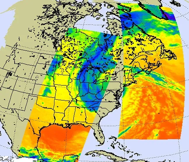
What really changed the game in recent years is not a single spectacular fossil, but the quiet revolution in how geologists and paleontologists gather and compare data. High-resolution satellite imagery, detailed subsurface seismic surveys, and advanced geochemical tools let researchers trace ancient shorelines, river systems, and mountain belts in a way that was impossible a few decades ago. Oil and gas exploration data, repurposed for science, has turned out to be an unexpected goldmine for reconstructing where ancient seas and deltas once lay.
On top of that, computer models can now integrate plate-tectonic reconstructions, climate simulations, and sediment transport to test different versions of what dinosaur-age North America looked like. When those models line up with real-world rock and fossil evidence, confidence in the new maps grows. It’s a bit like finally getting a better lens on a blurry old photograph: the basic shapes were there before, but the details – how wide the seaway really was, where the rivers flowed, how high the uplands stood – are becoming much sharper and, in some cases, surprisingly different from what older textbooks showed.
Why This Ancient Landscape Still Matters Today
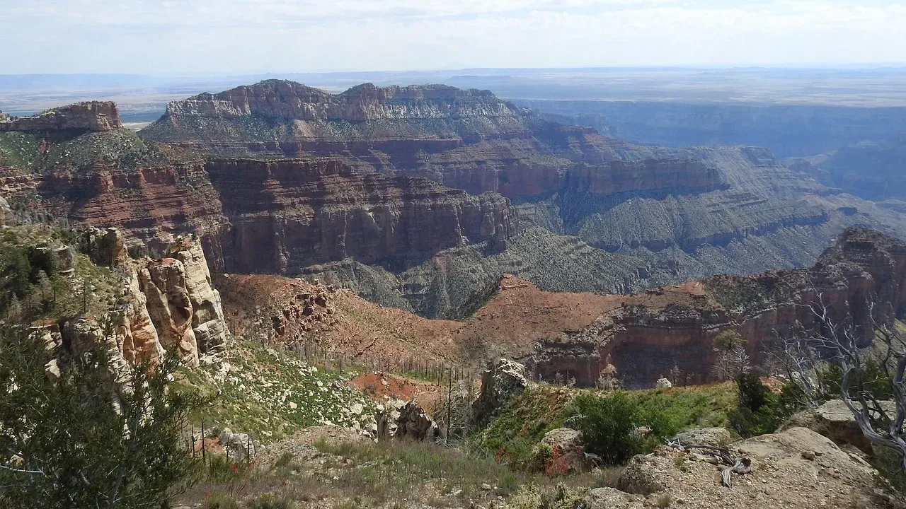
It’s tempting to treat all this as a kind of prehistoric trivia, but I think that sells it short. The fact that the middle of North America used to be an ocean, that the Rockies are younger than many dinosaur lineages, and that the far north once felt almost tropical forces us to confront how temporary our “normal” really is. The continent we live on is a work in progress, not a finished product, and the dinosaur-age map is a reminder that huge transformations are part of its long-term behavior, not rare exceptions.
There’s also a practical side: understanding where ancient seas and river systems once lay helps explain where we find certain resources today, from groundwater and fertile soils to hydrocarbons and minerals. But on a more personal level, I find it humbling. Next time you cross a flat Midwestern field or drive through a quiet mountain pass, it’s worth remembering that you’re moving across the ghost outlines of seaways, swamps, volcanic arcs, and floodplains that once hosted entirely different worlds of life. If North America could look that dramatically different in the age of dinosaurs, what does that say about how fixed – or fragile – our present landscape really is?