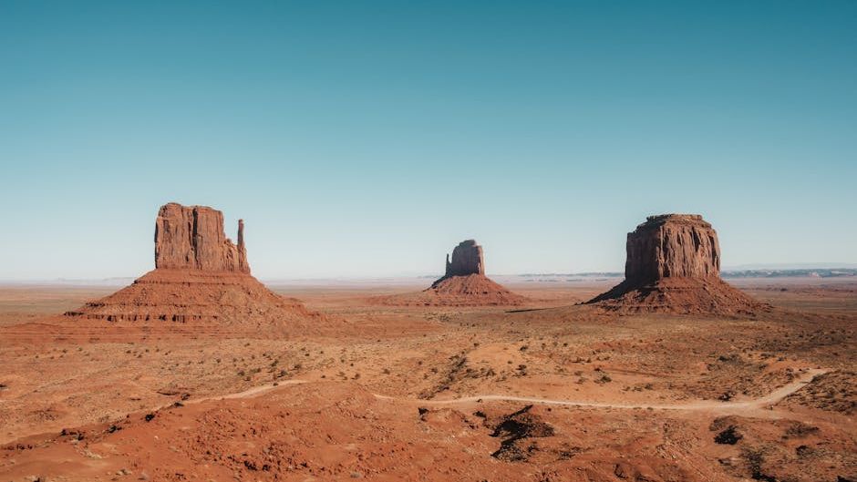
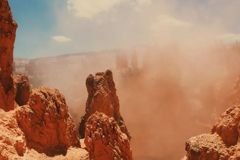
There is something almost surreal about standing at the rim of the Grand Canyon. You’re looking at nearly two billion years of Earth’s history stacked in plain sight, layer upon layer, like pages of an enormous book you never knew existed. The colors, the silence, the sheer scale of it all – it’s not just beautiful. It’s a scientific archive. And the American West, it turns out, is one of the richest archives on the planet when it comes to unlocking what Earth’s ancient climates actually looked, felt, and behaved like.
You don’t have to be a geologist to feel a sense of wonder about this. From the cave formations of Nevada to the ancient twisted pines of California, the entire region is riddled with clues that scientists are still decoding today. The deeper you look, the more you realize that the dry, dramatic landscapes of the West are not just scenic backdrops. They are time capsules. Let’s dive in.
The Grand Canyon: Earth’s Greatest Open-Air Climate Museum
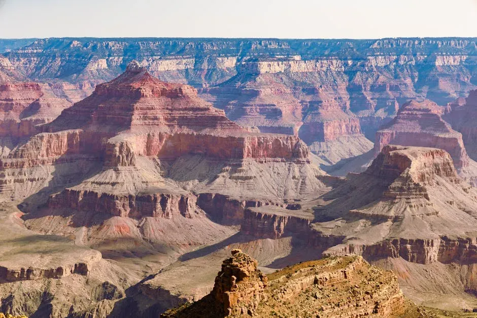
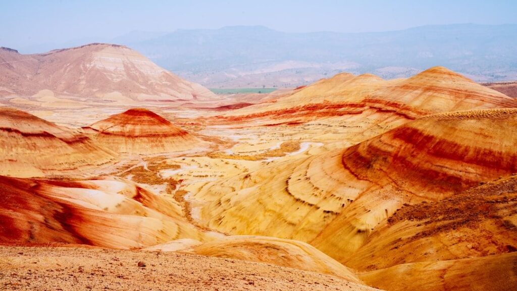
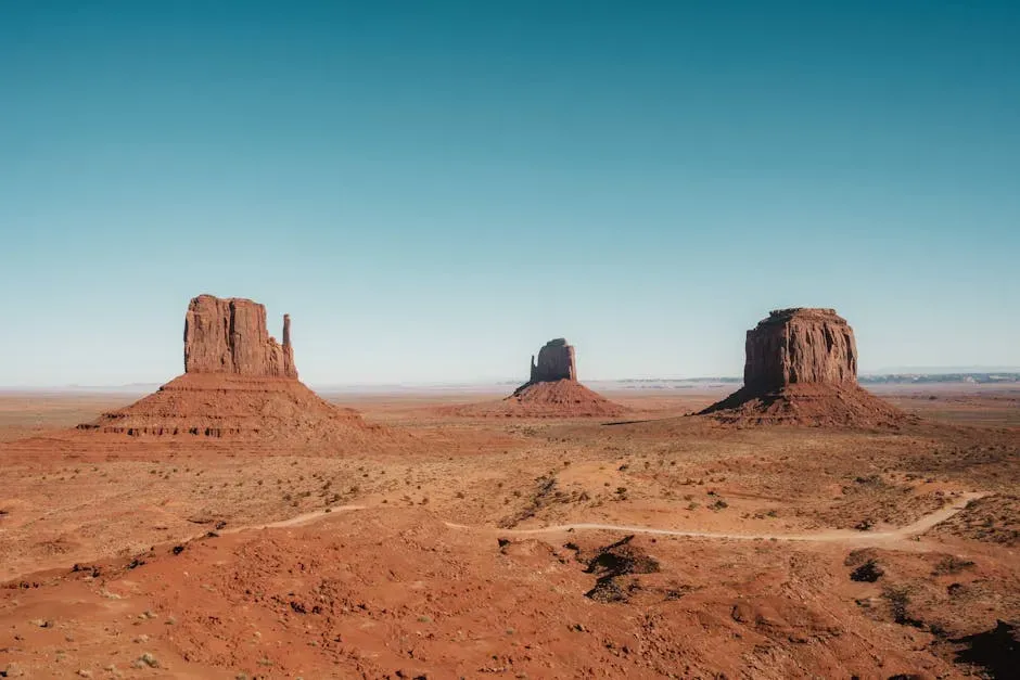
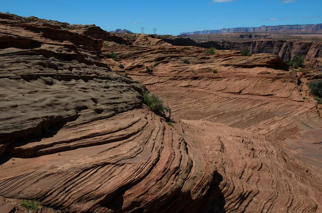
If you want to understand just how dramatically the Earth’s climate has changed over deep time, you need to look no further than the layered walls of the Grand Canyon. Nearly two billion years of Earth’s geological history have been exposed as the Colorado River and its tributaries cut their channels through layer after layer of rock while the Colorado Plateau was uplifted. That’s not a metaphor. That’s literal time, stacked right in front of you.
Each layer is a page of the story describing life at that time. Sandstones are sand compressed together, typically from old sand dunes or beaches. Shales are solidified mud, deposited in the waters of ancient river deltas. Limestones form at the bottom of warm, shallow seas, which tells us that Arizona was once underwater. Think about that. What is now one of the driest places in America was once a shallow ocean, and you can see the proof right there in the rock.
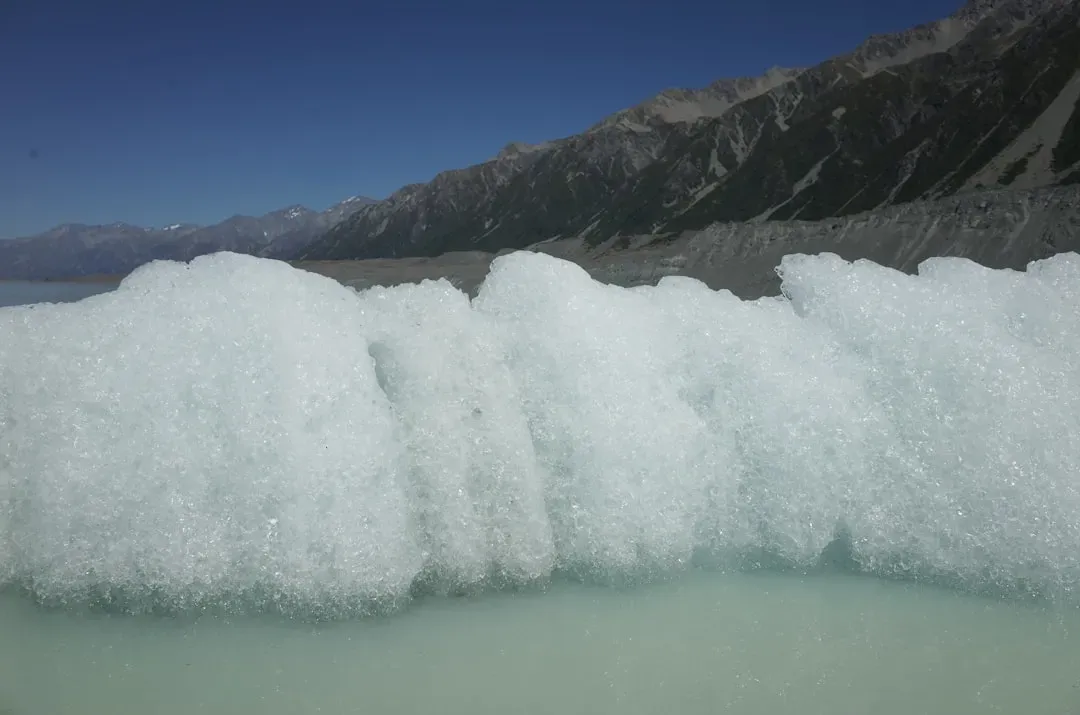
Ice ages during the Pleistocene brought a cooler and wetter pluvial climate to the region starting two to three million years ago. The added precipitation increased runoff and the erosive ability of streams, especially from spring meltwater and flash floods in summer. With a greatly increased flow volume, the Colorado cut faster than ever before and started to quickly excavate the Grand Canyon two million years before the present. The canyon itself is essentially a record of climate-driven erosion on a monumental scale.
Stalagmites and Secrets: What Nevada’s Caves Are Telling Scientists
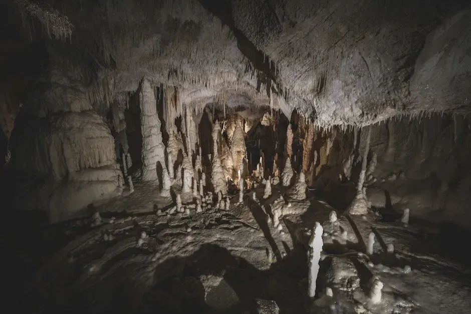
Here’s the thing – you might picture archaeologists and rock hunters when you think of climate research. But some of the most remarkable evidence of past climate change in the American West comes from underground caves, specifically from stone formations called stalagmites. The American West was once much wetter than it is today. The region is riddled with ancient lake beds and fossilized aquatic creatures. At some point in the last 15,000 years, these inland seas disappeared and turned to desert.
A group of MIT researchers discovered that the American West must have dried up just about 8,200 years ago, and that it did so relatively rapidly. They came to this conclusion by studying stalagmites found inside a cave in the Nevada Great Basin. What makes this discovery so impressive is the precision of it. The research team realized that a drier climate slows down the percolation of water through soil, resulting in more calcium deposits in the ground, higher magnesium concentrations in the water that entered the cave, and thus higher levels of magnesium in the stalagmite layers that correspond to a dry period. It’s like reading a chemical diary written over millennia.
Bristlecone Pines: The Oldest Living Witnesses to Climate Change
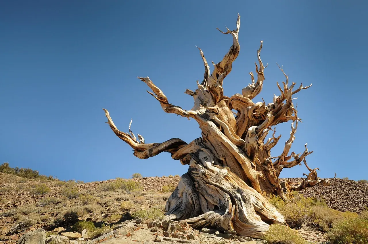
I think this is where the story of the American West’s climate archive gets genuinely jaw-dropping. High in the White Mountains of California, there are trees that are older than the Great Pyramid of Giza. High in the arid White Mountains of eastern California stand the gnarled, twisted trunks of ancient bristlecone pines. These slow-growing trees quietly weather the ages; at more than 4,000 years old, some are more ancient than the Great Pyramid of Giza. These are living witnesses to thousands of years of climate history.
The ring-width chronologies from long-lived bristlecone pine are annually resolved and can reach back thousands of years, making these high-resolution multimillennial proxy records of climate a rare and valuable resource in paleoclimatology. Each ring tells you whether that year was wet or dry, warm or cold. Scientists now possess an 8,600-year chronology for bristlecone pine, and this enormous, comprehensive dataset is fundamental to both European and North American studies of paleoclimate and prehistory. That is an astonishing level of detail about the ancient world.
Recently, scientists have pushed even further. These findings suggest that X-ray CT scanning could be applied to additional bristlecone pine cores to create an unprecedented annual resolution reconstruction of temperatures in the American Southwest reaching as far back as 2575 BCE. The idea that you can use a hospital scanner on a tree to reconstruct temperatures from five thousand years ago – honestly, it’s the kind of thing that makes science feel like pure magic.
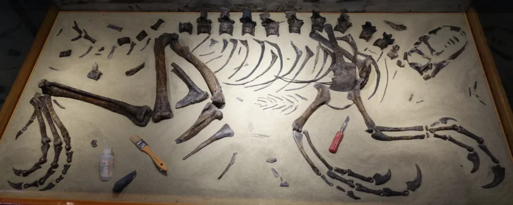
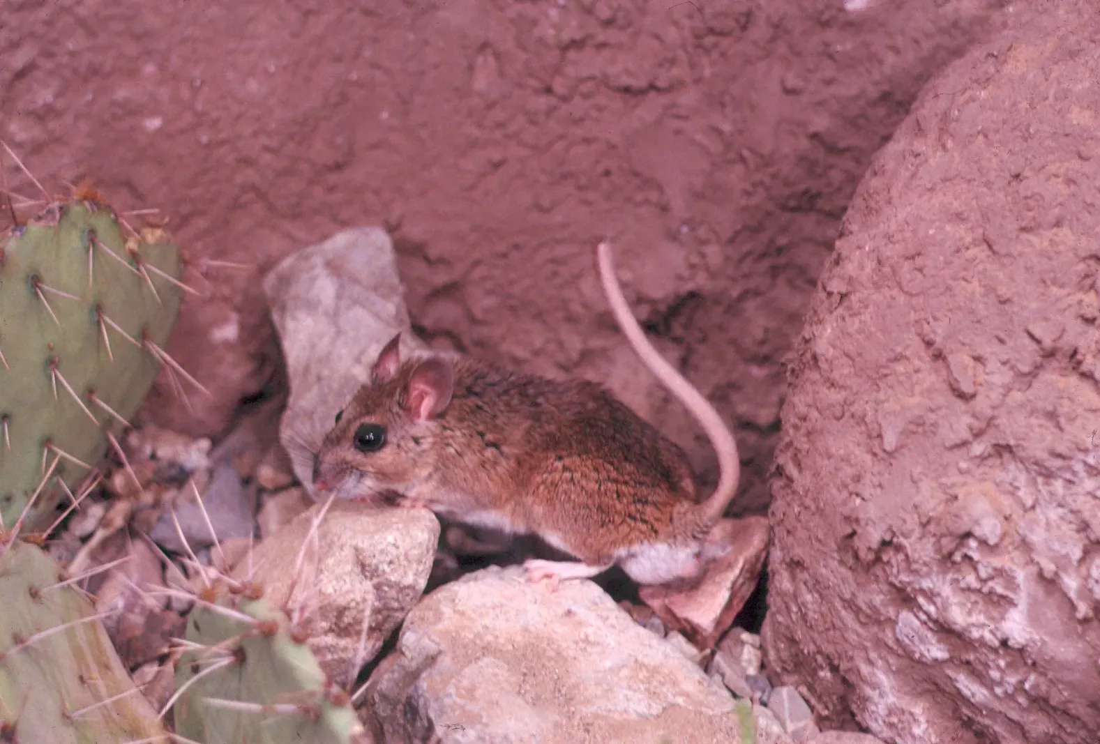
Packrat Middens: The Most Unusual Climate Archives You’ve Never Heard Of
Record in source catalog
DPLA identifier: c5b97cfd04427153c08b4d3701929cad, CC BY-SA 4.0)
Honestly, nobody talks enough about packrat middens. It sounds unglamorous, even a little gross. Packrats provide paleoclimate archives. They collect artifacts near their dens and pile them into a heap that they preserve by urinating on it. The result is a packrat midden. The oldest middens date back 45,000 years, preserving plant and animal remains dating well before the last ice age. Nature’s own time capsule, sealed with something you’d rather not think about too hard.
Before scientists began examining middens, little was known about the past climates of desert regions of North America because other paleoclimate proxies such as tree rings, fossil pollen, ice and coral cores, and lake and ocean sediments are either absent from these regions or are too sparse to provide adequate data. The packrat middens turned out to be gold mines of data for climate researchers. Scientists can sometimes even sequence DNA from vegetation in middens, which provides them with extraordinarily detailed insights into the evolution of plant communities, which in turn are good indicators of climatic conditions. A Utah midden once yielded a camel bone from a species extinct for more than 12,000 years. You simply can’t make this stuff up.
Reading Dust, Pollen, and Charcoal: The USGS and the Long Climate Record
You might think that studying ancient dust sounds like a fairly niche pursuit. But to scientists at the U.S. Geological Survey, it’s some of the most consequential research happening right now. The USGS is developing precipitation and drought records from the western U.S. that span the last 11,500 years. These records use pollen, charcoal, and geochemical analyses from sites throughout the American West to reconstruct climate variability and its impact on land and aquatic ecosystems.
Precipitation patterns in the American West are influenced by surface temperatures of the North Pacific Ocean and atmospheric circulation patterns. This is a crucial insight because it means that what happens in the Pacific Ocean does not stay in the Pacific. It ripples right across the continent. The Drylands Project undertakes studies to measure past and ongoing changes in dust sources, flux, and composition in the American West, and strives to understand the effects of atmospheric dust on pressing national and global issues of snowmelt acceleration, air quality, and human health. When you understand what drove dust storms thousands of years ago, you gain serious predictive power for the future.
Ancient Floods, Ice Sheets, and a Completely Different West
Let’s be real: most people picture the American West as rugged, dry, and sun-baked. That image has not always been accurate. During the last glacial maximum, around 20,000 years ago in the Pleistocene epoch, much of North America was covered with a large sheet of glacial ice and the coastlines were different because sea level was lower. The West you imagine today would have been almost unrecognizable.
When the river was blocked, an enormous lake called Glacial Lake Missoula built up behind the ice dam. When the ice dam later failed, the water was released catastrophically. These floods cut through dust deposits and basalt that covered much of the region, leaving islands, escarpments, and channels so large that geologists did not at first recognize their origins. These were among the largest floods in Earth’s history, and their scars are still visible today across the Pacific Northwest. Reconstruction of the climate 21,000 years ago at the peak of the last ice age in the western U.S. found that the transition between the drier zone in the north and wetter zone in the south ran diagonally from the northwest to southeast, a pattern that was essentially the opposite of what you see today.
Why the Ancient Climate Record Matters for Your Future
You might be wondering at this point: why does any of this matter to everyday life in 2026? The answer is surprisingly direct. Understanding paleoclimates is crucial for contextualizing current climate trends, especially the ongoing global warming, by examining how past climatic shifts have impacted ecosystems and human societies. You cannot understand where you are going without knowing where the planet has already been.
Studies like these not only help us understand how our landscape came to look the way it does, but also create a larger picture of long-term climate change and its impact on human civilization. This larger picture can help us better assess the meaning of more short-term weather fluctuations, and help predict what may happen and how we should respond as we see our planet warming up. The western United States is not just a landscape of canyons and deserts. It is a laboratory for the future.
The Late Holocene, running from about 4,200 years ago to the present, is the most climatically variable period. It marks a time when the “modern” climate and temperature patterns are established. The research noted a defined interval of fire activity over the past two centuries that is linked to human activity. The Era of Colonization from 1850 to the present represents an unprecedented environmental interval in the climate records. That’s a sobering signal embedded in the very geology of the region.
Conclusion
The American West is far more than scenery. Its caves, its ancient trees, its canyon walls, and even the nests of its smallest desert rodents carry a continuous record of what our planet’s climate has done across thousands and millions of years. As instrumental records only span a tiny part of Earth’s history, the reconstruction of ancient climate is important to understand natural variation and the evolution of the current climate. The West gives scientists a rare window into patterns that take millennia to unfold.
What strikes me most is this: every rock layer, every tree ring, every cave formation is not just a scientific curiosity. It’s a warning, a lesson, and a map all at once. Paleoclimatic records indicate that rapid cooling events can be more catastrophic than gradual warming, providing valuable lessons for contemporary climate policies. The insights gained from paleoclimatology not only enhance our understanding of historical climate dynamics but also inform strategies for managing current environmental challenges. The ancient world has things to tell us, if only we’re willing to listen.
The deeper scientists dig into the record locked inside the American West, the clearer it becomes that we are not living through something unprecedented in geological time – but we may be accelerating change faster than anything the rock record has seen in a very long while. What do you think: does knowing what the past looked like change how you see the future? Tell us in the comments.