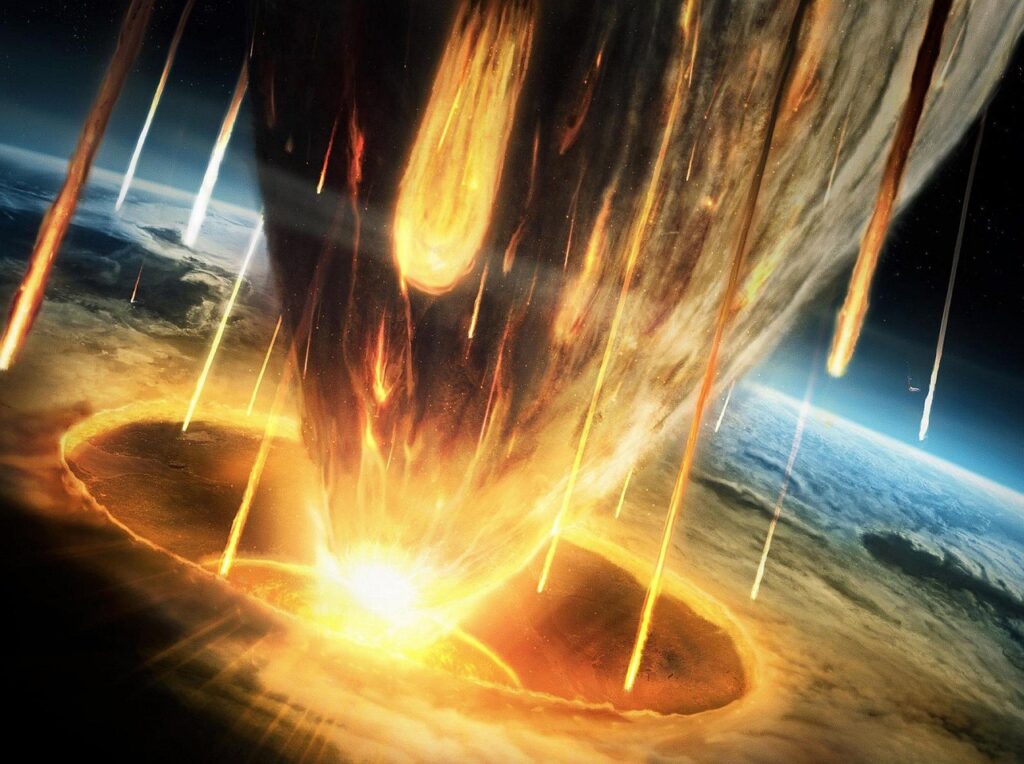
Picture this: not a gentle river cutting through hills over millions of years, but a roaring, continent-scale wall of water tearing open what would become the English Channel in a geological instant. This is not science fiction. It is one of the leading explanations for how Britain became an island and why that separation happened so abruptly in Earth’s recent past. When I first dug into this research, I honestly felt like I was reading the plot of a disaster movie that had been quietly filed under “science” and then forgotten.
What makes this story truly wild is its timing. We are not talking about some unimaginably distant age when dinosaurs still roamed. The evidence points to catastrophic flooding events in the last few million years, with at least one major episode happening when early humans were already walking around Europe. That means this megaflood did not just rearrange rocks and coastlines; it may have reshaped the routes our ancestors could take, the cultures that formed, and ultimately the entire arc of European history.
A Hidden Catastrophe Beneath the Waves
The English Channel looks calm today, but its seafloor is scarred like a battlefield. High-resolution sonar and seismic surveys have revealed huge, carved channels, amphitheatre-shaped headwalls, streamlined islands, and plucked-out rock basins that are classic signatures of catastrophic flood erosion rather than slow, steady river wear. These landforms are on a scale that everyday tidal currents simply cannot explain; they point to short, violent episodes of water discharge far beyond anything modern humans have seen in this region.
Geologists comparing these underwater features to famous megaflood landscapes in places like the Channeled Scablands of North America see striking similarities. There too, a sudden outburst flood from a vast glacial lake once reshaped the terrain almost overnight. In the Channel, the main trunk valley, side channels, and scour marks converge on what used to be a rocky land bridge between Britain and mainland Europe. That pattern suggests the area did not just slowly sink beneath rising seas; instead, it was actively ripped open by torrents of water exploding through structural weak points in the rock.
The Rock Dam That Once Joined Britain to Europe
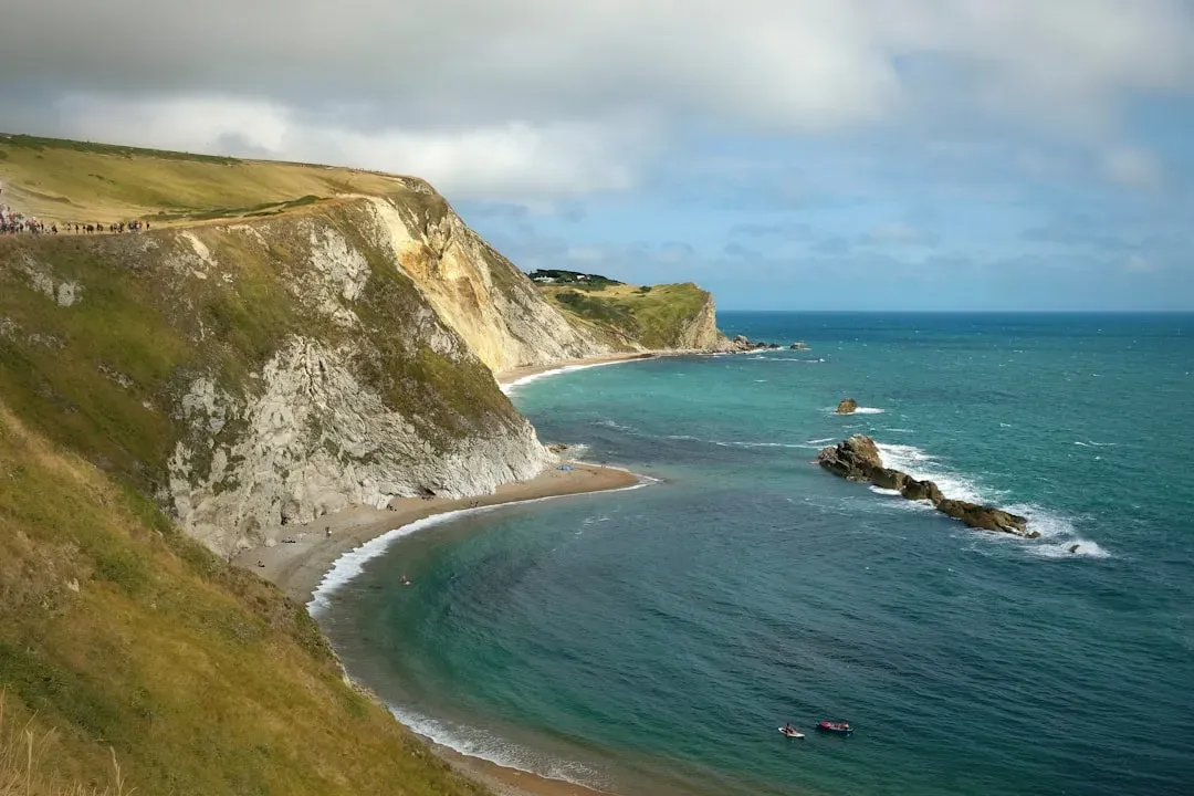
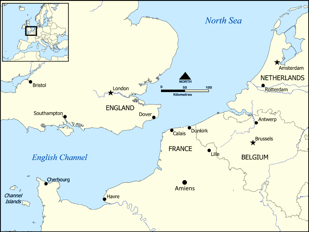
Before the Channel existed as a broad seaway, the region between what is now Dover and the Pas‑de‑Calais was a high, chalk-rich ridge, part of a continuous landmass connecting Britain to the European continent. This ridge effectively acted like a natural dam, holding back meltwater lakes that pooled to the north and east during cold glacial phases. During ice ages, sea level dropped, rivers extended across what is now the seafloor, and that ridge stood exposed as a topographic barrier and land bridge at the same time.
Imagine a massive, chalk-and-flint plug jammed between two basins. On one side, meltwater and perhaps even small ice-dammed lakes accumulated; on the other, the Atlantic and lower-lying basins waited. Over time, water exploited fractures in that ridge, just as it does in any dam that is pushed too hard. Eventually, whether triggered by a rising lake level, a structural weakness, or ice-related processes, the system passed a tipping point. Once breach started, the energy release would have been extraordinary, with water rapidly deepening and widening the initial failure zone to create the proto–English Channel.
How a Megaflood Actually Carves a Strait
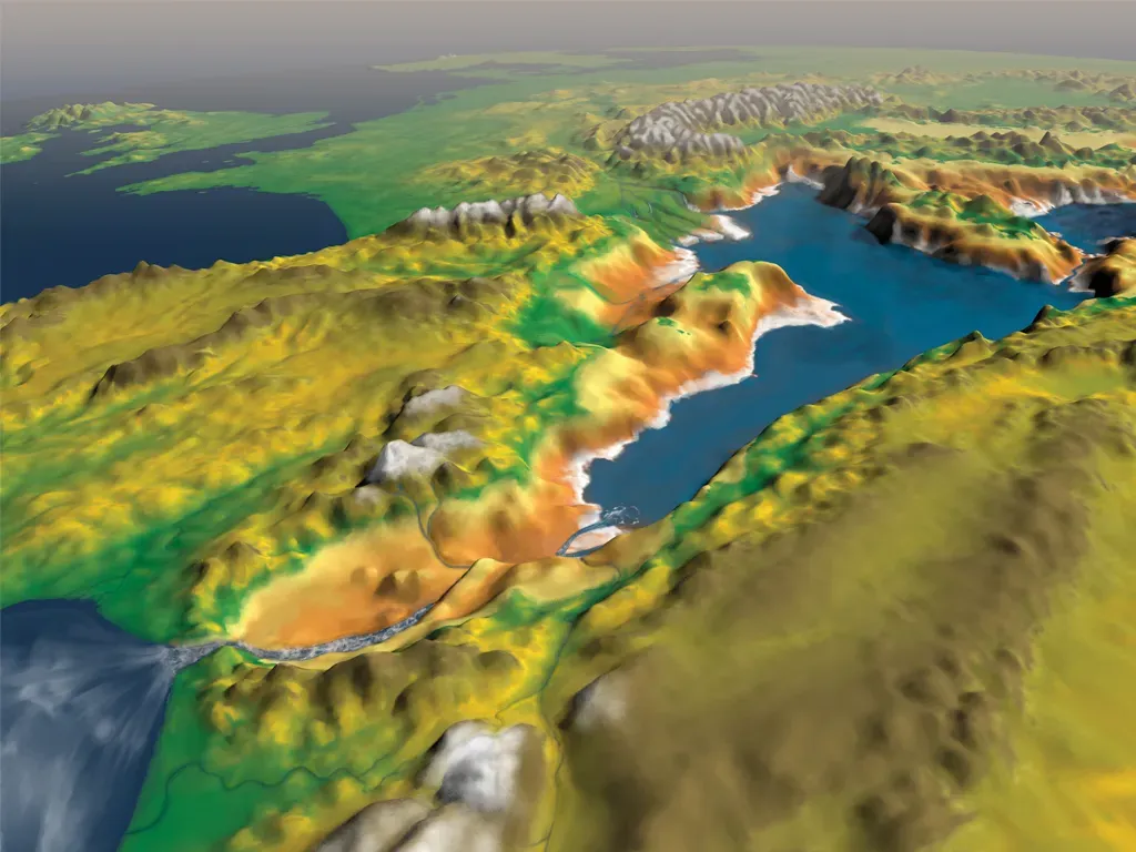
Catastrophic floods do not behave like normal rivers on steroids; they operate in a different regime altogether. With enormous volumes of water moving at high velocities, they can mobilize house-size boulders, strip soil and sediment to bedrock, and carve out deep, kilometre-scale channels in a matter of days or weeks. The erosive power scales dramatically with flow depth and speed, so once a flood starts to incise a bedrock ridge, a positive feedback kicks in: deeper channels confine the flow, increasing velocity and making erosion even more aggressive.
In the Channel, the evidence suggests that one or more such outburst floods surged through the ridge region, gouging out deep valleys and waterfalls that migrated upstream as the bedrock collapsed. Huge plunge pools at the foot of now-submerged escarpments hint at roaring cataracts tens of metres high, maybe more. As the ridge broke down, the flow would have spread out, losing some power but still strong enough to sculpt streamlined bedrock islands and scoured plateaus further west. The end result: a broad seaway where a continuous land bridge had once existed, permanently altering the geography of northwest Europe.
Timing: Violent, But Geologically “Recent”
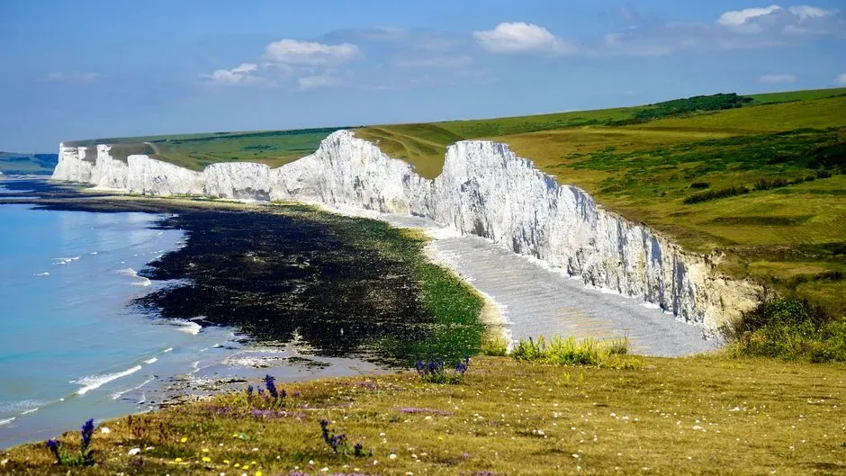
When geologists say “recent,” they are not talking about last Tuesday; they are looking on the scale of Earth history. The main phases of English Channel incision appear to have occurred within the last couple of million years, during the Quaternary, a period dominated by repeated glacial–interglacial cycles. Some evidence points to a particularly dramatic event a few hundred thousand years ago, during a time when massive ice sheets in northern Europe and the North Sea created conditions ripe for large meltwater lakes and unstable dams.
That timeline overlaps with the presence of archaic humans and early relatives in Europe and western Asia, and possibly with the movements of early Homo species into these regions. Later, during the last ice age and especially after the last glacial maximum, sea levels rose and flooded low-lying areas like Doggerland in the North Sea, further shaping the coastline we recognize today. The Channel’s formation is therefore not some distant prologue; it is part of the same broad climatic drama that framed our species’ evolution, migrations, and settlement patterns across Eurasia.
An Island Is Born: Britain Cut Off From the Continent
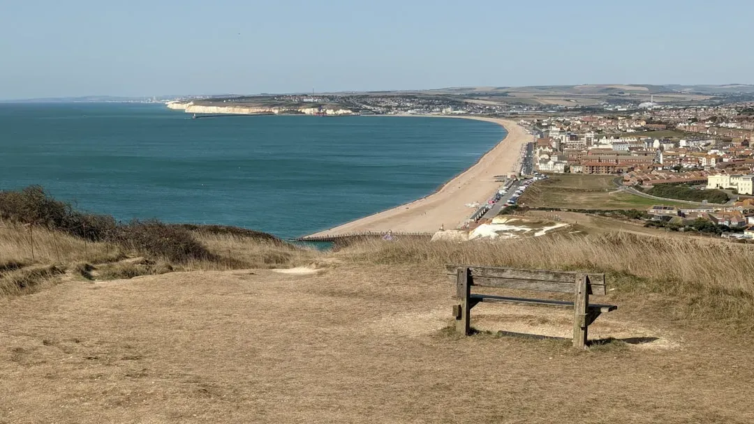
Once a permanent marine strait exists, it transforms how landscapes connect. The opening of the English Channel changed Britain from a peninsula-like extension of Europe into an island realm, at least during times of higher sea level. Even if some land connections persisted in the North Sea region during colder phases, the Channel itself became a persistent, and eventually dominant, barrier. It would have influenced the routes herds could follow, the paths early humans used to move north and west, and later, how trade and cultural contacts were established or cut off.
This isolation became even more pronounced after the last glaciation, when rising post‑ice age seas drowned remaining low-lying land. By the time of the Mesolithic and Neolithic, Britain was fully insular, and that insularity mattered. It likely contributed to differences in the timing and character of agriculture, language shifts, and later historical trajectories compared to the mainland. You can draw a crooked line from that breached rock dam, through thousands of years of changing sea levels, straight to the modern idea of an “island nation” with a distinctive identity and political path.
In practical terms, the existence of a watery barrier changed everything from invasion logistics to trade constraints. Armies could no longer simply march overland; they needed boats, fleets, and naval power. Cultural exchange did not stop, but it became mediated by maritime technology and coastal hubs. Over long stretches of history, that separation helped Britain develop slightly out of sync with continental powers, sometimes shielded from rapid swings in empire and ideology, sometimes late to adopt or forced to adapt them in its own way.
It is tempting to think of this as geography quietly steering the plot. Would the Roman invasion, the Viking raids, the Norman conquest, or even the later naval empires of Britain have unfolded in the same way if you could still walk across a wide, fertile isthmus? The Channel has acted like both moat and highway, hindering mass overland movements while enabling specialized seafaring societies to flourish. That dual role traces back to the moment water first tore through the ancient ridge and refused to give the land back.
Did the Megaflood Really Shape Human Civilisation?
Here’s where we have to be honest and a bit humble: geologists can read the scars on the seafloor with impressive confidence, but tying a single flood to the “entire course of human civilisation” is a heavier lift. The safest view is that the megaflood, and the broader opening of the Channel, created a major geographic constraint that nudged human history in certain directions rather than fully deciding it. People are creative. They build boats, form alliances, discover new routes, and occasionally ignore what geography seems to dictate.
Still, I think it is fair to argue that without the Channel, the pattern of human movement, cultural exchange, and political competition in western Europe would have looked very different. Boundaries that became meaningful in later eras – between “Britain” and “the continent,” between island powers and land empires – rest on that basic physical separation. The megaflood did not script history line by line, but it helped set the stage, like a massive piece of scenery dropped in place long before the actors walked on. To me, that is the right balance: the flood was not destiny, but it was a profound constraint that shaped what was possible, and when.
Conclusion: When Water Rewrites the Map – and Our Story
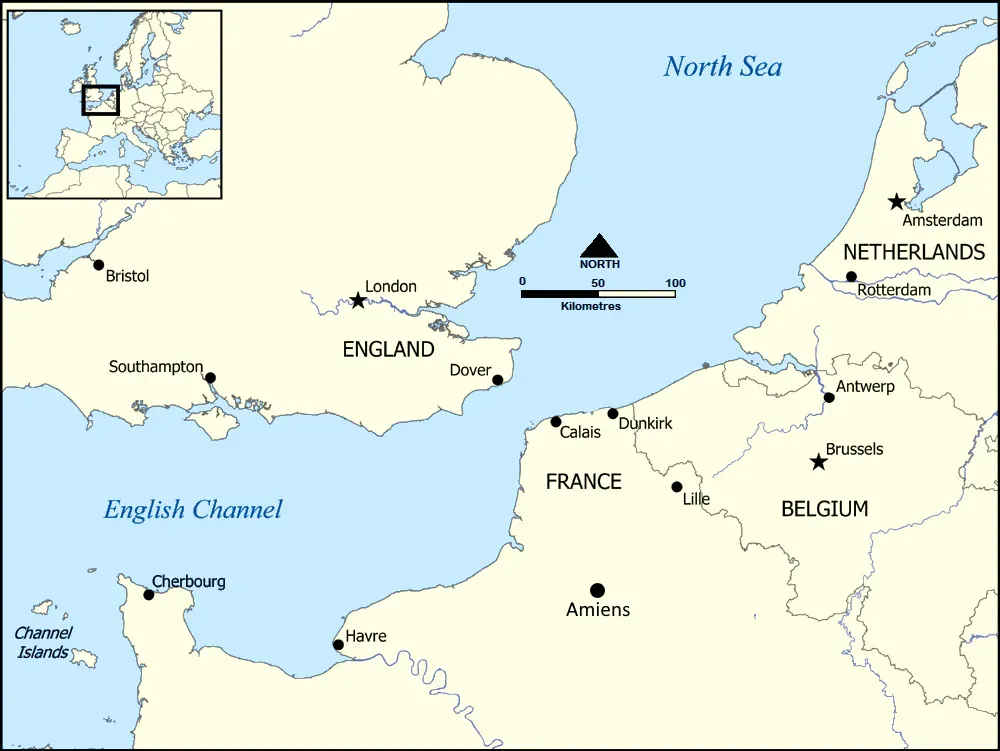
When you step back, the English Channel megaflood is a reminder that the boundaries we treat as permanent – coastlines, straits, “natural” barriers – can be the fingerprints of sudden, chaotic events. A colossal pulse of meltwater turning a land bridge into a seaway is not just a neat geological curiosity; it is a foundational twist in the backstory of Europe and of the societies that later grew up along its shores. I find it oddly grounding to realize that an island’s proud sense of separateness may trace back to a short, terrifying episode of rock shattering and water roaring through a collapsing ridge.
Was that flood the single turning point that determined the whole course of human civilisation? That is probably too strong. But did it help set the rules of the game for how cultures, invasions, trade routes, and empires could unfold in western Europe? I think the answer is yes, in a quietly decisive way. Next time you see a map with Britain standing apart in its blue moat, it is worth remembering that this “natural” separation is the fossilised aftermath of a prehistoric disaster. If a burst of water could redraw Europe once, how many other hidden cataclysms are buried in the maps we take for granted today?