Imagine standing in the middle of a high desert, staring at massive stone buildings perfectly aligned to the sun and stars, and then realizing that straight lines on the horizon are not natural ridges, but thousand‑year‑old roads. That is the shock of Chaco Canyon. It looks like a ruin, but the more archaeologists study it, the more it feels like a carefully engineered machine for moving people, ideas, and power across an entire region.
Chaco Canyon is not just another ancient site with a few impressive buildings. It was the nerve center of a prehistoric world, and its mysterious road network is one of the most puzzling achievements in North American archaeology. The facts below do not solve the riddle of Chaco, but they do show why this place still keeps experts up at night, and why the lines in the desert around it might be just as important as the great houses inside the canyon walls.
1. Chaco Canyon Was a Regional Capital in the High Desert
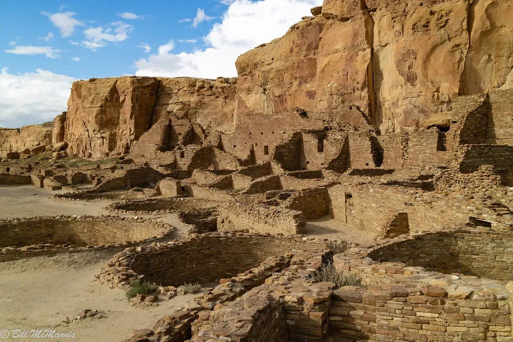
Chaco Canyon sits in what is now northwestern New Mexico, in a landscape that feels almost aggressively empty: mesas, badlands, and a climate that swings from blazing days to freezing nights. Yet around a thousand years ago, people funneled enormous resources into this canyon, turning it into a dense cluster of monumental architecture. For a time, Chaco was one of the most complex urban‑like centers in pre‑Columbian North America.
Instead of one large city surrounded by farms, think of Chaco as a ritual and political hub connected to a wide hinterland. People traveled in for ceremonies, trade, and decision‑making, then went back to outlying communities. This pattern is one big reason its road system matters: you do not need long, straight roads just to get to your cornfield. You build those when you are trying to bind a big, spread‑out world together.
2. The Great Houses Were Massive, Multi‑Story Stone Buildings
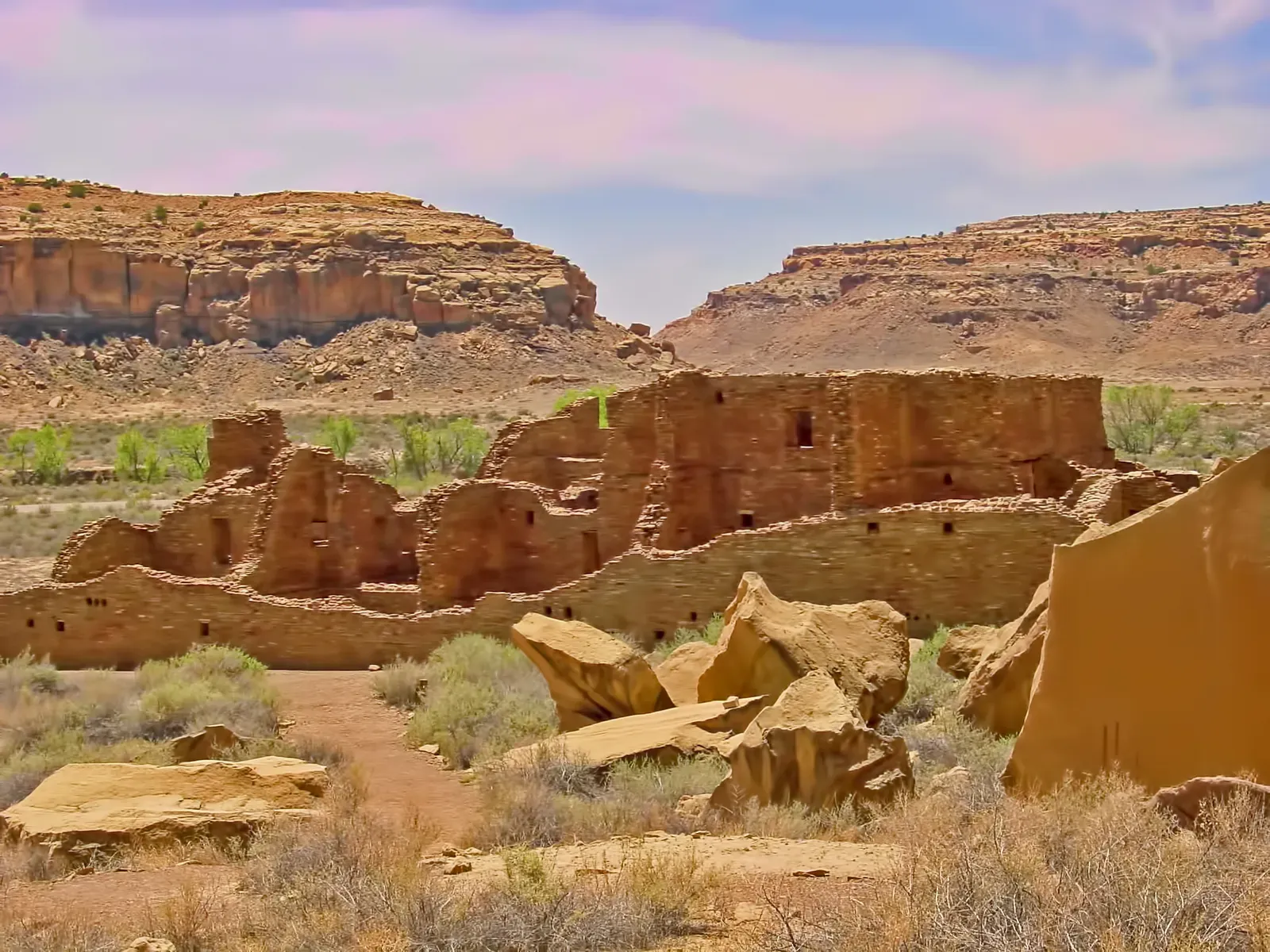
Chaco’s most famous structures are the so‑called great houses, and they are much larger and more complex than typical village dwellings of the time. Some, like Pueblo Bonito, contained hundreds of rooms stacked in multiple stories, forming D‑shaped or arc‑shaped complexes that could rival small medieval castles in volume. They used finely shaped sandstone blocks and carefully chosen timbers, assembled with a precision that still surprises engineers.
What makes these buildings especially intriguing is that many rooms do not show signs of everyday living like consistent hearth use or trash buildup. This has led many researchers to see great houses more as ceremonial, administrative, or elite storage and gathering spaces than as crowded apartment complexes. The roads radiating from these buildings may have acted like avenues, leading visitors and processions into the heart of Chaco’s social and spiritual life.
3. The Road Network Stretches Far Beyond the Canyon
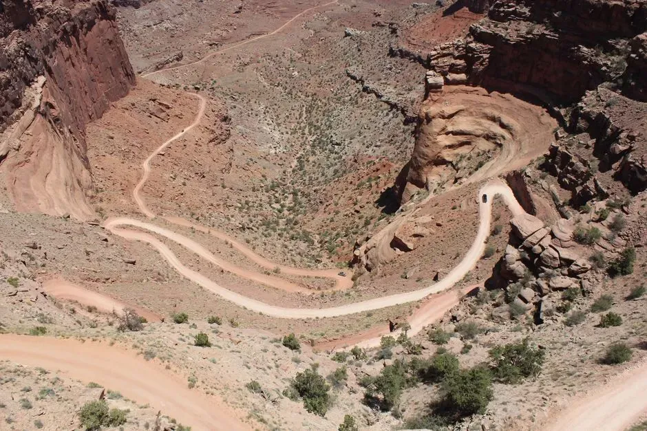
When people talk about Chaco’s roads, they do not mean a couple of worn footpaths leading out of the canyon. Archaeologists have documented a regional network of linear features extending for dozens of miles in multiple directions, linking Chaco to distant outlier communities, shrines, and landscape features. Some segments slice straight across the terrain in ways that ignore the easiest walking routes.
Even today, many of these roads are nearly invisible at ground level. They have been detected through aerial photography, satellite imagery, lidar, and on‑the‑ground mapping of subtle depressions, berms, and alignments of masonry stairways and ramps. When you see them mapped out, it looks less like a casual web of trails and more like a deliberate system, as if the canyon sat at the center of a huge, geometric spiderweb etched into the desert.
4. The Roads Are Strikingly Straight and Wide
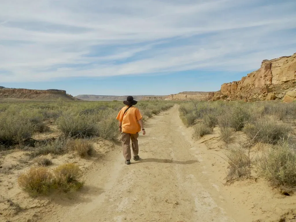
One of the most shocking facts about Chaco roads is how straight they are. Instead of curving around hills or arroyos, many segments run in long, almost laser‑like lines toward distant points on the horizon. When obstacles appear, builders sometimes cut stairs into cliffs or built ramps rather than simply rerouting the path. This is not the behavior of people just looking for the easiest way to walk from place to place.
These roads also tend to be unusually wide for non‑wheeled traffic, often described as roughly several meters across, far more than a simple single‑file trail would need. The combination of width and straightness has fueled the idea that the roads were not just functional pathways but highly visible features meant to be seen from above, from nearby mesas, or even by participants walking in large processions. In that sense, they were as much about display and symbolism as about transport.
5. Many Roads Radiate from Key Great Houses Like Pueblo Bonito
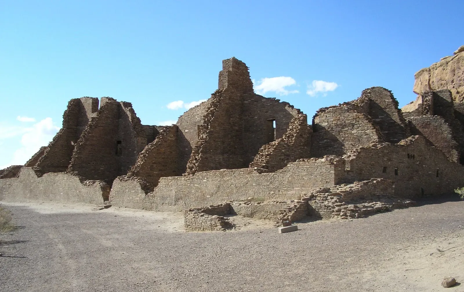
While the regional network is complex, certain great houses act as clear hubs, and Pueblo Bonito is the star among them. Multiple roads either begin, pass near, or visually align with this enormous building, suggesting that it operated as a main node in the system. Other great houses, such as Chetro Ketl and Una Vida, also show road connections, but Pueblo Bonito often takes center stage in these reconstructions.
This pattern supports the idea that great houses were more than big residences. They may have functioned like ceremonial capitals, gathering stores of goods, hosting important rituals, and coordinating activities across the region. If you imagine thousands of people periodically converging on Chaco, the roads start to look like ceremonial highways, leading communities into shared spaces where social ties and obligations were renewed.
6. The Roads Connect to Outlier Communities and Isolated Shrines
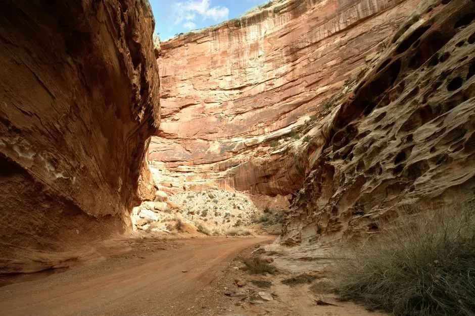
Chaco is surrounded by numerous outlier communities, some of which built smaller great houses that echo the architecture of the canyon. Roads or road‑like alignments often link these outliers back toward Chaco or toward important natural landmarks. This suggests a deliberate pattern of visual and physical connection, like a network of satellites orbiting a central planet.
In some cases, roads lead not only to settlements but also to apparently isolated shrines or small masonry structures placed on ridges and hilltops. These destinations do not make much sense if you only think in terms of hauling goods or moving quickly between villages. They make far more sense if you imagine pilgrimage routes, ritual journeys, and lines drawn across the landscape to honor powerful places and stories.
7. There Is Little Evidence of Everyday Traffic or Pack Animals
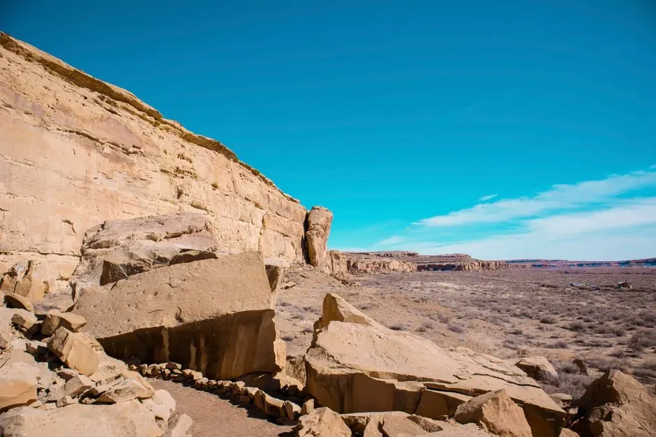
One of the stranger aspects of the Chaco road system is that the physical traces do not always match what you would expect from heavily used trade routes. You might anticipate thick layers of compacted soil, ruts, or clear buildup of trash along the way, but those kinds of signatures are not consistently present. Instead, many road segments appear as carefully prepared surfaces that may have seen intermittent, formal use rather than constant daily wear.
On top of that, the pre‑contact Southwest did not use wheeled vehicles or pack animals like horses; people walked and carried loads by hand. So the roads were not built to support carts or herds the way later European or Asian road systems were. That fact alone pushes many researchers to treat the Chaco roads as multi‑purpose features, where symbolism, ritual, and visual impact were at least as important as whatever practical traffic they supported.
8. Astronomy and Landscape Alignments May Have Shaped the Network
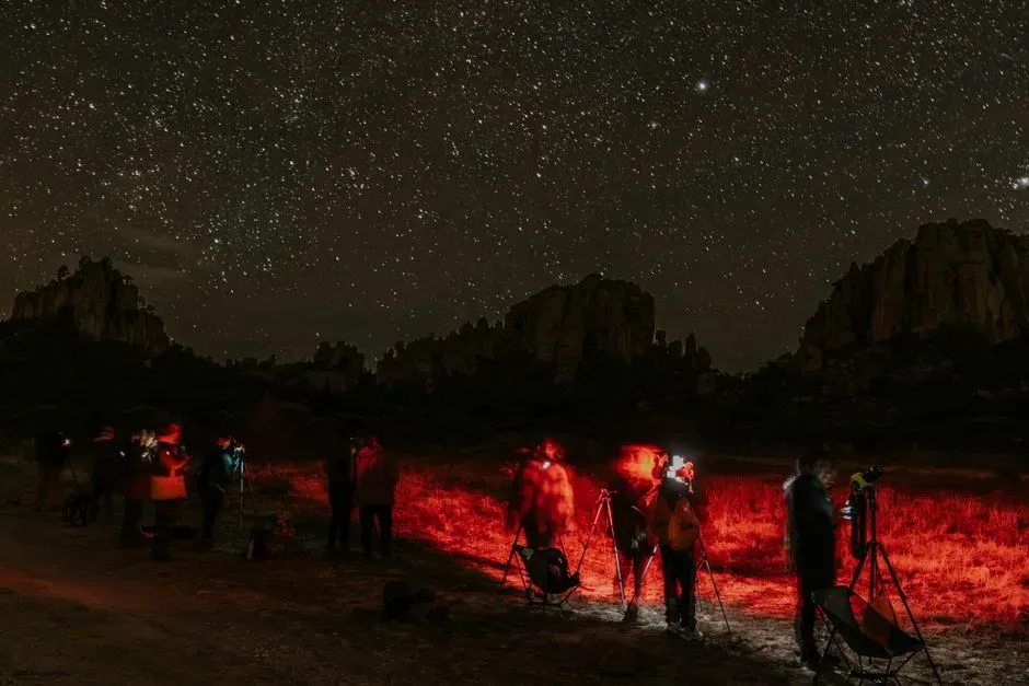
Chacoan architects were deeply interested in the sky. Many great houses and kivas show alignments with solar and lunar events, such as solstices, equinoxes, and cycles of the moon. Some researchers argue that certain road segments may echo this pattern, pointing toward horizon markers where the sun or moon rises or sets at significant times of the year, or tracking broader cardinal directions.
At the same time, the roads often line up with striking natural features such as mesas, mountain ranges, or distinctive buttes. These alignments raise the possibility that the roads were physical expressions of a cosmology that tied sky, landscape, and community together. In that view, walking along a road was not just moving through space; it was moving through a story about how the world is organized and how people fit into it.
9. The Purpose of the Roads Is Still Hotly Debated
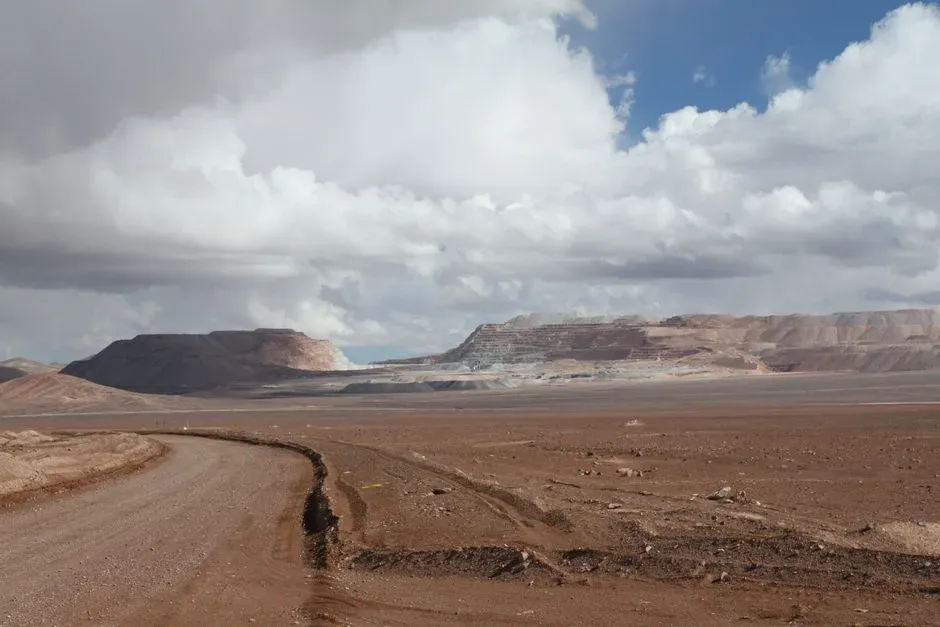
Despite decades of work, archaeologists do not fully agree on why the Chacoans invested so much effort into their road system. Some see the roads primarily as practical routes for moving people, turquoise, pottery, timber, and food, especially during large gatherings. Others emphasize ritual, arguing that the straightness, width, and links to shrines point to ceremonial use, processions, or pilgrimages that were as important as any economic activity.
There are also debates about power and control. One interpretation sees the roads as tools used by Chaco’s elites to project influence outward, drawing distant communities into a shared system of ritual and obligations. Another perspective is more cautious, suggesting that what we call a “road network” might actually be a patchwork of features built for different purposes over time. In my view, the most convincing picture is a blended one: roads that carried goods and people, but also carried meaning, identity, and political authority.
10. Modern Technology Is Still Revealing Hidden Roads
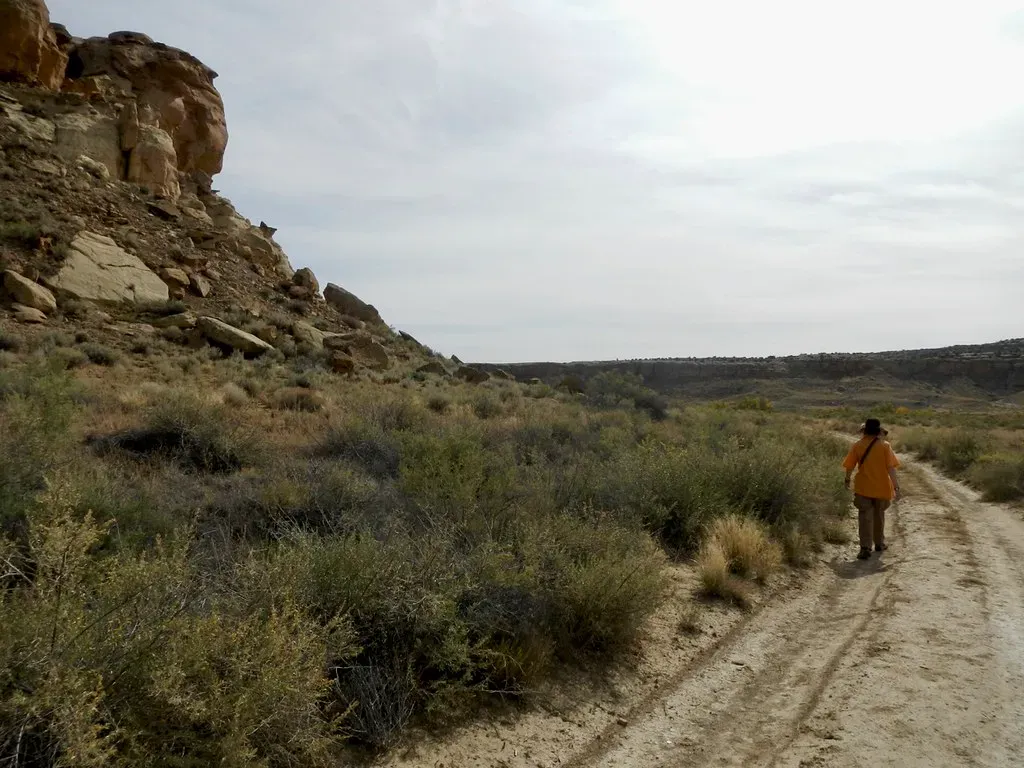
What may be the most exciting fact of all is that we are still discovering Chaco roads today. Remote sensing methods like aerial photography, lidar, and high‑resolution satellite imagery keep revealing new linear features and subtle patterns that were nearly impossible to see from ground level. Every fresh map seems to complicate the old tidy diagrams, showing just how extensive and messy real human landscapes can be.
For me, this ongoing discovery is a reminder that Chaco Canyon is not a solved puzzle neatly filed away in textbooks. It is a live research frontier where new technology can literally redraw our maps of the past. The roads we can see now might be only part of the story, with other segments erased by erosion, development, or simply time. That uncertainty is frustrating if you want simple answers, but it is also what keeps Chaco so compelling.
Conclusion: A Web of Stone, Roads, and Unfinished Questions
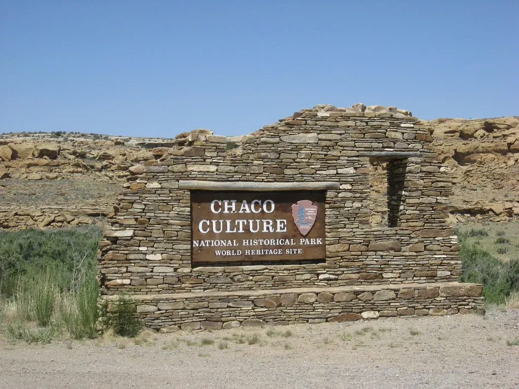
When you put all these facts together, Chaco Canyon stops looking like a mysterious accident in the desert and starts looking like a very intentional project: massive great houses, aligned with the sky, tied together and outward by a web of straight, wide roads that ignore easy paths in favor of symbolic ones. It feels like a society that was willing to pour staggering effort into making ideas visible on the land itself. In a world without wheels or metal tools, carving straight lines across mesas was not a casual choice; it was a statement about who they were and what mattered.
My own opinion is that we will never be able to squeeze Chaco’s roads into a single, simple box labeled trade, or ritual, or power. They were probably all of those at once, just like our modern highways carry commuters, political campaigns, and religious pilgrims side by side. What Chaco forces us to admit is that ancient people were capable of planning at a regional scale and thinking in abstractions we still struggle to decode. Next time you look at a satellite view of a modern city’s road grid, it might be worth asking: a thousand years from now, will someone stare at those lines and wonder what stories we were trying so hard to write into the earth?