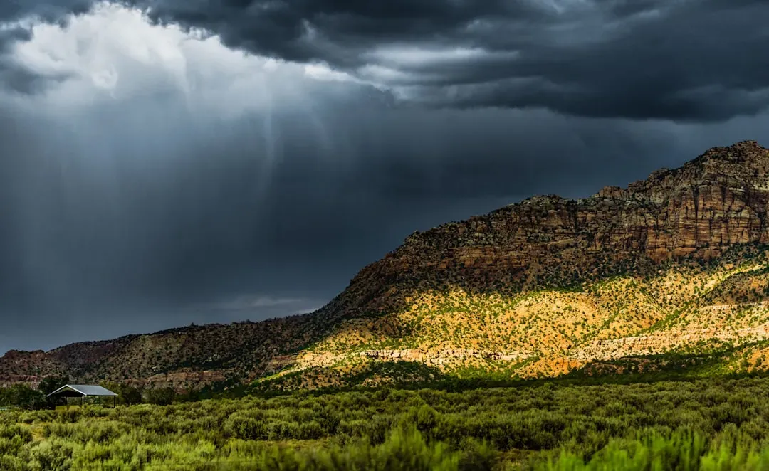
If you could trace every road trip, every ocean crossing, every flight path back through time, you’d end up at one surprisingly simple idea: humans learning how to follow the world itself instead of just what they could see. Long before engines, maps, or flight trackers, people were already moving across deserts, open oceans, and frozen plains using something far more ancient and powerful than technology: systematic navigation. The real breakthrough was not a tool you can hold, but a way of thinking – understanding that the sun, the stars, the winds, the shape of coastlines, even the behavior of birds could form a reliable, repeatable system to guide you far beyond the horizon.
That shift from wandering to navigating changed everything. Once our ancestors realized the world had patterns that could be learned and trusted, long-distance travel stopped being a crazy gamble and started becoming a calculated risk. Trade routes formed, cultures mixed, ideas spread, and entire civilizations rose on the back of people who were brave enough – and smart enough – to trust the sky and the sea. Let’s unpack how that ancient discovery of systematic navigation unlocked long-distance travel and, in a very real sense, built the world we live in today.
From “Let’s See What Happens” To “We Know Where We’re Going”
Imagine stepping into a small boat with no engine, no GPS, no map, and no coastline in sight. If all you can do is drift and hope, you’re not really traveling; you’re gambling with your life. Early humans certainly moved around the landscape, but most journeys hugged rivers, coasts, or familiar landmarks. What changed the game was the realization that the environment itself carried consistent signals: the rising and setting of the sun, the path of familiar stars, the way certain winds blew at certain times of year. Once people began treating those patterns as a kind of code, travel could be planned instead of improvised.
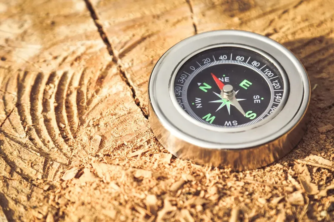
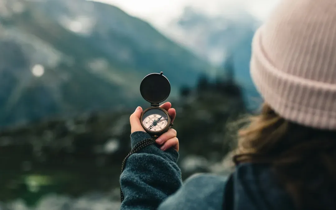
That mental leap – reading the world as a guidebook instead of just scenery – is the ancient discovery that made true long-distance travel possible. Suddenly, going beyond the next valley or sailing past the visible shoreline did not mean marching blindly into the unknown; it meant applying knowledge. I still remember learning basic orienteering with a compass in the woods and feeling that quiet thrill when the forest stopped being confusing and started feeling like a puzzle I could solve. Ancient navigators did that on a planetary scale, with nothing but their senses and a ruthless dedication to watching the world closely.
The Sky As The First Global Positioning System

The night sky became humanity’s first reliable, shared navigation system. Long before anyone could explain what stars actually were, people noticed that some patterns – constellations – rose and set in predictable ways and that one particular star in the Northern Hemisphere stayed almost fixed in the sky. That “almost fixed” star near the celestial north pole became a crucial reference point: if you knew where that star sat, you could infer direction even in the middle of a vast, featureless ocean or desert. Over time, cultures encoded these stellar patterns into stories and myths, but beneath the poetry there was hard, practical data.
What sounds mystical from the outside is actually incredibly technical when you look closely. Ancient navigators tracked how high certain stars appeared above the horizon, and they learned that this height changed with latitude. That meant you could estimate how far north or south you were simply by measuring an angle with a simple device or even by trained habit. It’s a bit like having a cosmic ruler in the sky. Once this stellar knowledge spread, the idea of crossing open water or barren land stopped being sheer madness and started being a disciplined craft – one where the universe itself quietly told you whether you were on course.
Following The Sun, Shadows, And The Rhythm Of Days

Daytime navigation often gets overshadowed by the romance of star-driven voyages, but for many ancient travelers, the sun was the primary guide. People noticed early on that the sun rises roughly in the east and sets roughly in the west, and that shadows behave differently depending on the time of day and where you are on Earth. With a simple vertical stick in the ground and careful observation of where its shadow pointed at midday, early navigators could find a rough north–south line. This is not fancy gadgetry; it is geometry done with nothing more than light and patience.
On land, especially across wide plains or deserts, this solar navigation dramatically expanded how far people dared to go. Caravans could keep a bearing even when dunes shifted or when clouds of dust made landmarks unreliable. Over generations, travelers combined this sun-based orientation with mental maps of watering holes, oases, seasonal winds, and safe passes. It reminds me of driving long distances before smartphone maps were good, relying on the position of the sun, road signs, and a mental picture of “I should be heading generally southwest” – only their stakes were higher, and their skills far sharper.
Reading The Invisible Highways Of Wind And Current
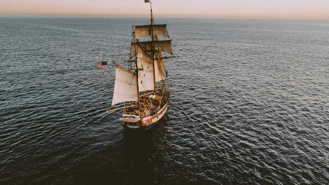
Once humans set their sights on the open sea, understanding wind and water became as critical as understanding the sky. In the world’s great oceans, currents do not flow randomly; they form looping systems and predictable streams. Likewise, winds shift with seasons, creating powerful patterns like monsoons and trade winds. Ancient sailors gradually discovered that certain months favored sailing in one direction, while the return journey demanded waiting for a different seasonal pattern. This was not guesswork over a single lifetime; it was a slow, collective decoding of the planet’s invisible highways.
The payoff was immense. In the Indian Ocean, for example, merchants learned to ride monsoon winds one way and return with the opposite seasonal winds, turning what could have been a one-way leap of faith into a stable, repeatable trade system. Across the Pacific, skilled navigators interpreted subtle changes in swell direction and wave shape to sense distant land or shifts in current, even when nothing was visible on the horizon. If stars were like a celestial grid, winds and currents became moving conveyor belts. Those who knew how to board and exit them wisely could travel far beyond the limits of muscle power alone.
The Compass: Turning Earth’s Magnetism Into A Travel Tool
For all the brilliance of sun and star navigation, there was still a catch: clouds, storms, and fog could suddenly erase the sky. The magnetic compass – discovered and developed in ancient China and later adopted and refined across Eurasia – solved that problem in a radical way. For the first time, direction could be read from a device independent of weather or time of day. Ironically, the compass is often treated as just another instrument, but its underlying idea is startling: that the Earth itself behaves like a giant magnet, and that you can harness that hidden property to know where you’re heading.
With a floating needle or a carefully suspended pointer, navigators could orient their ships even when the heavens were hidden. This did not replace star or sun knowledge; it complemented and strengthened it. On long ocean voyages, sailors could cross-check the compass with celestial observations, catching errors and staying on course for weeks or months. In effect, the compass turned navigation from an art practiced only by a small, intensely trained group into something more broadly teachable and robust. To me, it feels like the difference between a chef who “just knows” how long to cook something and the person with a reliable thermometer: the intuition is still valuable, but the instrument makes it safer and more repeatable.
Route Memory, Oral Knowledge, And The First Human “Maps”
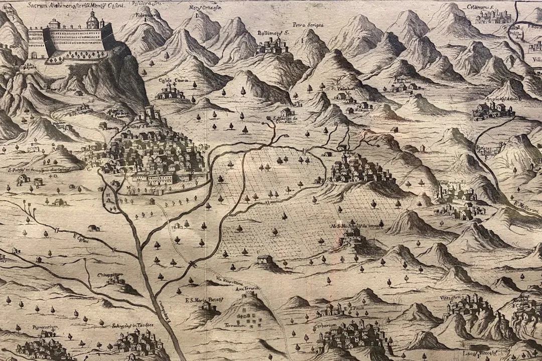
We often imagine maps as ink on parchment or lines on a screen, but long before that, maps lived in people’s minds and stories. Ancient travelers memorized routes by chaining together landmarks, star positions, seasonal cues, and distances expressed as days of travel or number of paddle strokes. In some seafaring cultures, navigators trained for years to recall the position of islands relative to swells, stars, and winds, effectively holding a mental chart of hundreds of miles of ocean. On land, traders and pastoralists did the same with passes, rivers, grazing grounds, and safe campsites.
These mental and oral maps were not just practical guides; they were cultural treasures. Knowledge of a particular route or a favorable current could mean economic advantage, survival in hard times, or status within the community. Stories, songs, and rituals often doubled as memory systems, encoding complex geographic information in a form that could be taught and remembered without writing. When written maps finally did become widespread, they did not emerge out of nowhere; they grew from this older tradition of turning lived experience into structured, shareable spatial knowledge. In a way, every navigation app we use today is a high-tech descendant of those ancient memory palaces.
How Systematic Navigation Reshaped Human History
Once people could reliably travel long distances, the world began to knit itself together in ways that were both inspiring and, at times, devastating. Trade routes carried not just goods but ideas, religions, technologies, and artistic styles. Languages borrowed words from faraway places; cuisines fused ingredients from different climates; genetic lineages stretched across continents. Without systematic navigation, there would be no vast ocean-spanning trade networks, no large-scale migration by sea, and no complex webs of cultural exchange that define so much of human history. The ability to say “we can get there and come back again” is what turned isolated regions into interconnected worlds.
Of course, the same navigational skills that enabled peaceful exchange also powered conquest, colonization, and the spread of disease. Long-distance travel made it possible for empires to expand, for armies to strike across seas, and for pathogens to jump between previously separated populations. That dual legacy is uncomfortable but important to acknowledge. I think this is why navigation feels so symbolic of humanity itself: our capacity to observe, learn, and systematize reality gives us astonishing power, and what we do with that power is not guaranteed to be kind. Yet the core discovery – that the universe has patterns we can read and trust – remains one of our most hopeful traits.
Conclusion: The Most Important Journey Was In Our Minds
When we talk about long-distance travel, it is tempting to focus on ships, caravans, and eventually trains and planes. But the real breakthrough was mental, not mechanical. The ancient discovery that the world follows stable patterns – and that those patterns can be turned into rules for navigation – is what unlocked everything else. From reading the sun and stars to feeling out winds and currents and finally harnessing Earth’s magnetism with a compass, humans turned a dangerous, chaotic planet into something at least partly knowable and crossable. In my view, this shift from wandering to navigating is one of the boldest intellectual achievements in our species’ story.
We still rely on it today, even if it is buried under layers of digital convenience. Every time your flight crosses an ocean on a perfectly plotted path, or your map app corrects your route, you are living inside the legacy of those first people who stared at the sky and thought, “There’s a pattern here, and we can use it.” That ancient act of noticing turned fear of the unknown into curiosity about what lay beyond the horizon. It makes me wonder: if learning to read the world once opened up the entire planet, what new horizons could we reach if we paid the same close attention now?