
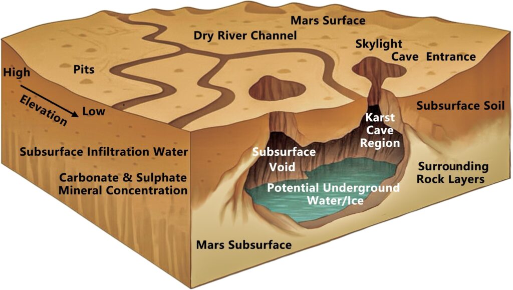
Drive across the United States and you’ll see glass towers, interstates, strip malls, and quiet suburbs. What you don’t see is the ghostly second country buried underneath it all: drowned towns, fossil reefs, underground cities of salt, and ancient coastlines swallowed by time. America’s surface is basically the latest software update; the older versions are still there, just hidden a few layers down.
Once you start looking below street level, the whole map feels different. A peaceful lake might be sitting on top of a vanished main street. A cornfield could be rooted in the mud of a prehistoric sea. Even the ground under your feet might carry the imprint of giant insects or ice sheets thicker than skyscrapers. These eight “lost worlds” are not fantasy – they’re real places, scientifically documented, quietly shaping the America we think we know.
The Drowned Towns Beneath American Lakes
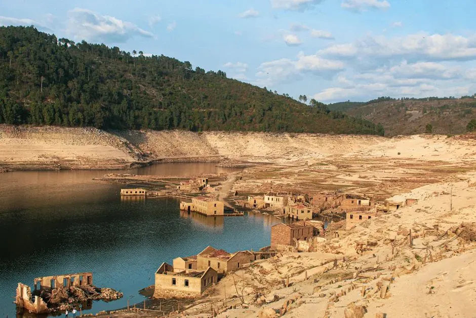
One of the strangest truths about is that some lakes are not natural at all – they are reservoirs that swallowed whole communities. In the twentieth century, massive dam projects across the country submerged farms, mills, graveyards, and entire town centers under rising water. In a few places, when water levels drop during droughts, you can still see old church steeples, foundations, or roads rising eerily back into view like ghosts that never got the memo they were supposed to stay gone.
These drowned towns are not just spooky curiosities; they are reminders that the country literally re-engineered its own geography within a few decades. Hydroelectric dams and flood‑control projects powered industries and protected cities, but they also displaced families whose houses now sit on reservoir bottoms. Whenever you boat or fish on a man‑made lake, you are floating above another America – one that once had mailboxes, school bells, and front porches where people assumed their streets would last forever.
The Fossil Coral Reefs Beneath Florida’s Highways
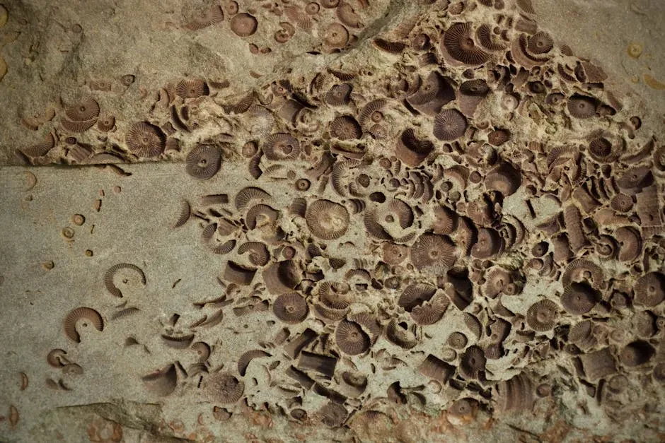
If you could peel back south Florida like a sticker, you’d find yourself standing on something that looks more like the Bahamas than a state famous for theme parks and retirement communities. Under Miami’s pavement and sugarcane fields lies ancient coral reef limestone, built by marine organisms in shallow tropical seas that existed long before humans showed up. The Florida Keys themselves are essentially the fossilized backbone of an old reef system, later capped by soils and human construction.
What blows my mind is that modern highways, airports, and condo towers are effectively balanced on the skeletons of long‑dead corals, mollusks, and other reef life. Sea level rose and fell over hundreds of thousands of years, turning Florida from seafloor to shoreline over and over again. That means today’s suburbs and shopping plazas are perched on top of an old ocean ecosystem, like someone built a strip mall on the ruins of a sunken Atlantis and then forgot it was there.
The Buried Glacial Landscapes Under the Midwest’s Fields
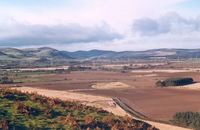
The flat, endless farm country of the Upper Midwest looks simple at first glance, but it is quietly sitting on the wreckage of Ice Age giants. Enormous ice sheets once bulldozed across this region, carving valleys, leaving behind ridges, and dumping thick piles of sediment as they melted. Much of that sculpted land has since been smoothed by agriculture and covered by soil, but the buried glacial features are still there, shaping where rivers flow and where crops grow best.
When geologists map the subsurface, they find ancient river channels filled with sand under modern towns, buried ridges of gravel beneath cornfields, and hidden basins that guide groundwater movement. The tidy checkerboard of roads and fields hides a chaotic frozen past of crevasses, meltwater torrents, and stacked ice thicker than city skylines. Every time a farmer cuts into the soil or a highway crew digs a trench, they are brushing the fingerprints of a vanished ice world that quietly dictates the modern landscape.
The Lost Coastlines Beneath the Atlantic and Gulf Shores
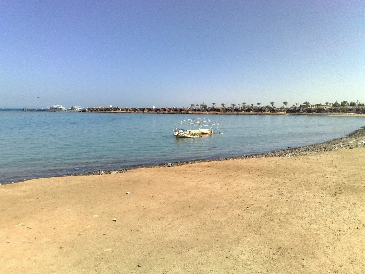
Stand on a beach along the East Coast or Gulf Coast, look out at the waves, and realize: you’re not at the edge of America – you’re just at the current edge. During the last Ice Age, when gigantic ice sheets locked up water, global sea level was dramatically lower. What is now continental shelf under the Atlantic and Gulf of Mexico was once dry land, with rivers, forests, and coastlines far beyond today’s beaches. Fishermen and sonar surveys have detected old river channels, sand dunes, and even hints of drowned landscapes on the seafloor.
Those lost coastal plains carried animals and, later, early people who left almost no trace accessible to us today because their world is now underwater. Modern beach towns and barrier islands basically occupy the narrow surviving fringe of a much larger ancient land. It’s a strange thought that beachfront condos and seafood restaurants line a shore that used to be far inland, like a temporary bookmark in a book where the margins keep getting rewritten by ice, climate, and time.
The Subterranean Salt Cities Beneath the Great Plains
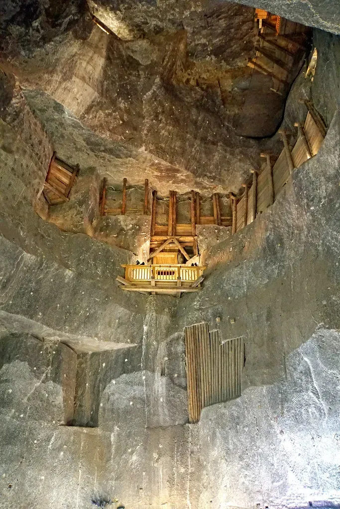
Far below parts of the Midwest and Great Plains, there are worlds that feel more science fiction than farm country: vast rooms carved in thick layers of rock salt, left behind by long‑evaporated seas. Mining has created underground “cities” of pillars and tunnels where trucks drive around in permanent twilight, surrounded by walls that taste like the ocean but have not seen actual seawater for millions of years. Above ground, the land might just be quiet prairie, giving no hint of the industrial caverns humming far below.
Some of these salt mines double as storage vaults for sensitive materials, from industrial archives to media reels, tucked away in a cool, dry, stable environment deep in the Earth. I find it wild that beneath ordinary towns and cropland, there are hidden networks where humans navigate an alien feeling mineral world made entirely of compressed ancient brine. The modern surface looks plain, but underneath it is a layered story: ocean, then salt bed, then mine, then a hidden human infrastructure that most nearby residents will never see.
The Ancestral Puebloan Cities Within the Southwest’s Cliffs
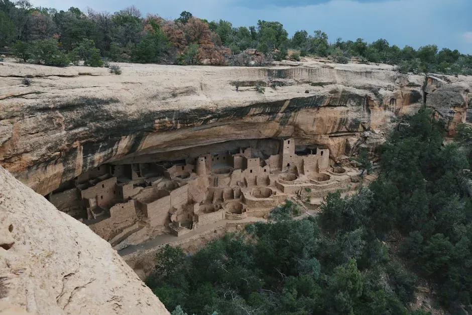
In the canyons of the Southwest, modern tourists hike on paved paths and drive scenic roads that skim above a very different America – one of stone cities tucked into cliffs and mesas. Long before interstate highways or suburban cul‑de‑sacs, Ancestral Puebloan communities built intricate dwellings in canyon walls, complete with rooms, plazas, and ceremonial spaces. Many of these sites were later abandoned, eroded, and partly buried by sediment and rockfall, turning them into layered archaeological puzzles.
Today’s towns, national parks, and visitor centers sit near or even on top of ancient fields, footpaths, and middens that rarely make it onto the tourist brochure. Ground‑penetrating surveys and careful excavations reveal buried walls, floors, and artifacts that show how dense and complex these communities once were. When you walk a paved overlook to peer into a big, dramatic cliff dwelling, you are skimming the top of a much broader, partially hidden world that stretched across the region long before imagined itself into existence.
The Hidden Cave Systems Beneath Kentucky and Beyond
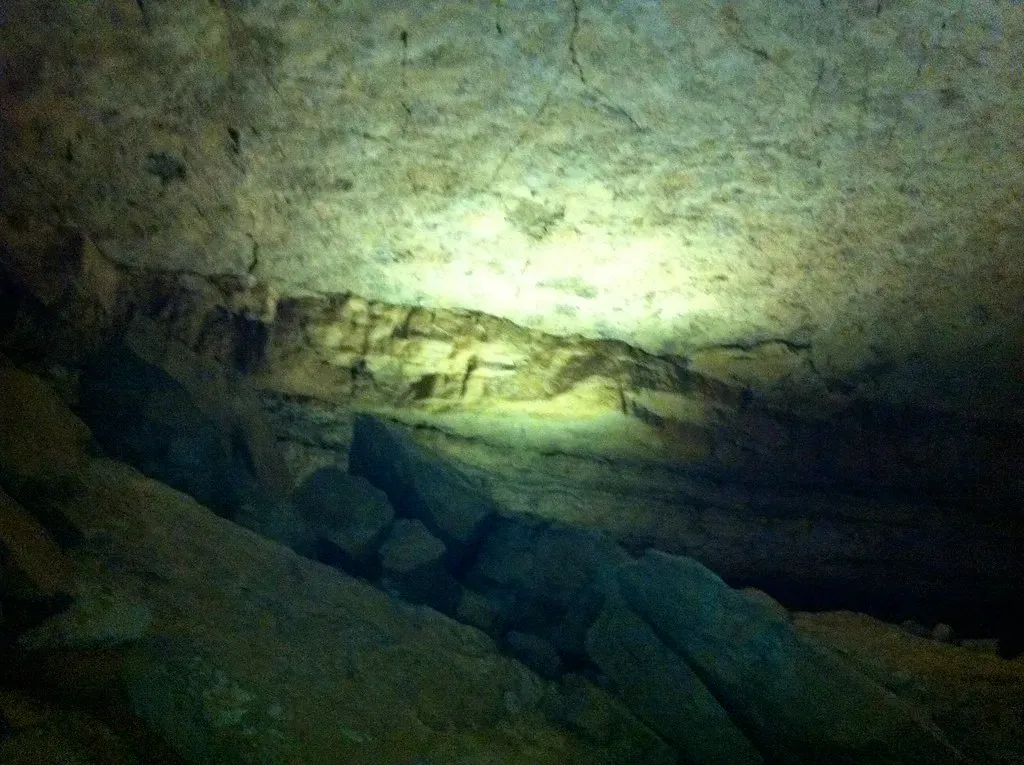
In some parts of the country, what lies beneath you is not just rock layers but entire hollow worlds. Central Kentucky is the most famous, with the vast Mammoth Cave system running for hundreds of miles underground, but similar karst landscapes exist in several states. Beneath forests, farms, and small towns is a honeycomb of tunnels, shafts, underground rivers, and chambers that formed as slightly acidic water dissolved limestone over millions of years.
Most people will never see more than a tiny fraction of these caves, yet they influence everything from where sinkholes form to how groundwater travels and where pollutants end up. Everyday life on the surface – houses, roads, septic systems – plays out on a delicate crust above hidden voids that can be both beautiful and risky. I always think of it like living on the roof of an old, forgotten cathedral; you rarely think about the vaulted halls below, but they quietly define what the entire structure can handle.
The Fossil Graveyards and Ancient Ecosystems of the West
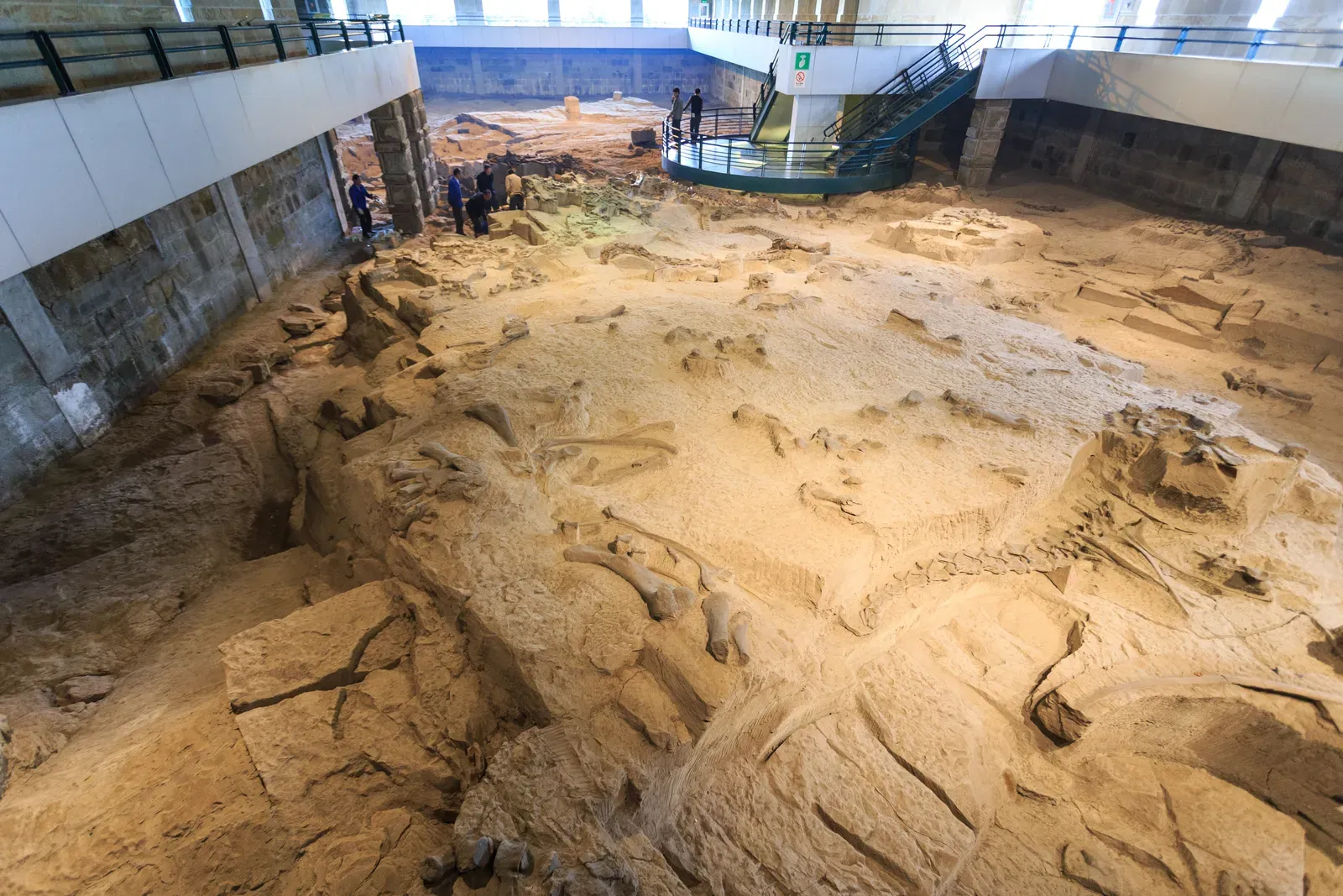
The American West is famous for dinosaur bones and dramatic badlands, but what tends to be overlooked is how much of that ancient world still lies buried under modern ranches, highways, and even suburbs. Thick rock layers preserve snapshots of entire ecosystems: ancient floodplains with fossilized tree trunks, lake beds packed with fish remains, and desert dunes frozen in stone. Paleontologists sometimes discover major fossil sites during construction projects, when a highway cut or housing development accidentally slices into a deep‑time world.
It’s stunning to realize that a quiet subdivision or a wind farm might sit right above the remains of massive dinosaurs, early mammals, or ancient forests, separated only by tens of feet of rock and a few dozen million years. Unlike the romantic image of fully exposed fossil cliffs in the middle of nowhere, a lot of America’s deep history is literally under people’s yards and driveways. Every new cut into the rock has the potential to open a window into ecosystems that thrived long before humans, reminding us the modern West is just the most recent chapter written on a very thick stone archive.
Conclusion: America’s Real Map Lives Underground
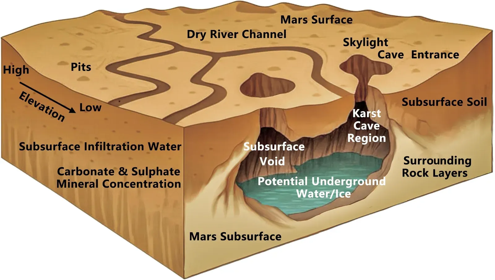
When you stack all of these hidden layers together – drowned towns, fossil reefs, buried ice‑age scars, salt cathedrals, cave labyrinths, cliff cities, and dinosaur graveyards – the usual map of America starts to feel almost shallow. The interstate signs and city skylines matter, but they ride on top of older stories that are literally deeper and, in many ways, far more dramatic. I think we make a mistake when we treat the modern landscape as the default and everything older as a quirky side note; the truth is the opposite. We are the quirky side note.
To me, the most honest way to see the country is to imagine it as a layered time machine: each hill, lake, and highway is just the latest edit in a document that has been revised for hundreds of millions of years. That perspective is humbling but also strangely comforting. Our roads will crack, our cities will sink or be buried, and future humans – if they are lucky – will puzzle over our remains the way we now puzzle over coral reefs under Florida or villages beneath reservoirs. Knowing that, the real question is: what kind of world do you want to leave hidden beneath the America someone else will stand on one day?