Picture this: standing in Kansas, you’d be swimming in warm, tropical waters teeming with massive sea reptiles, while giant pterosaurs soared overhead. This wasn’t some fantasy world—this was North America 100 million years ago, when a colossal inland sea stretched from the Arctic Ocean to the Gulf of Mexico, literally splitting the continent in two. The Western Interior Seaway wasn’t just any body of water; it was a geological game-changer that rewrote the rules of evolution, climate, and continental development. What happened to this ancient sea is one of the most dramatic transformations our planet has ever witnessed.
When Oceans Invaded the Heartland
The Western Interior Seaway didn’t appear overnight—it was the result of rising sea levels during the Cretaceous Period that turned middle America into an underwater highway. As polar ice caps melted and tectonic activity pushed ocean floors higher, seawater rushed inland through two main entry points: the Tethys Seaway from the south and the Boreal Sea from the north. By 100 million years ago, these waters had merged, creating a massive inland ocean that stretched over 1,000 miles wide at its peak. The sea was so vast that marine creatures could swim from what is now Montana all the way to Texas without ever touching dry land. This watery invasion transformed North America into two separate landmasses: Laramidia in the west and Appalachia in the east.
A Sea Monster’s Paradise
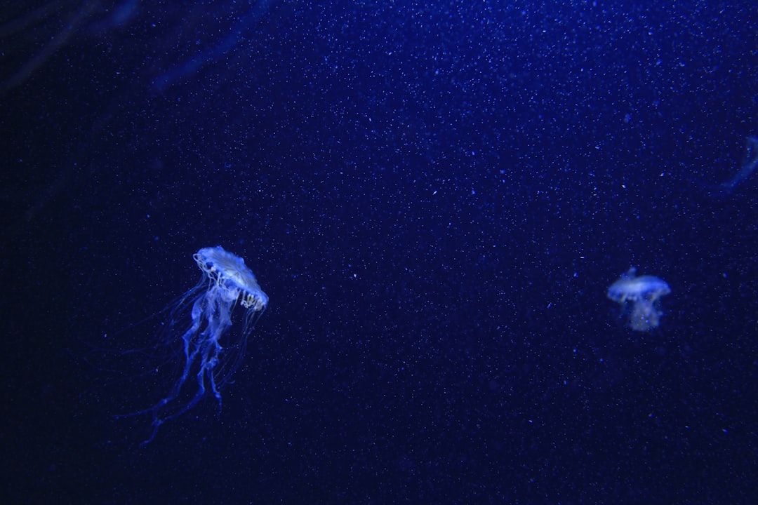
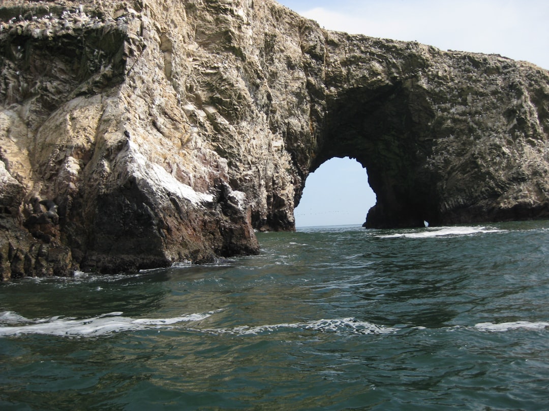
The Western Interior Seaway was essentially a prehistoric version of the Mediterranean, but filled with creatures that would make your worst nightmares seem tame. Massive marine reptiles ruled these waters, including the terrifying Tylosaurus, a 50-foot-long mosasaur with jaws powerful enough to crush a small car. Giant sea turtles the size of compact cars paddled through the depths alongside long-necked plesiosaurs that could snatch prey from the surface with lightning speed. The water itself was warm and tropical, creating perfect conditions for these massive predators to thrive. Sharks with teeth the size of dinner plates patrolled the shallows, while giant ammonites—spiral-shelled relatives of modern squid—drifted through the water column like living submarines. This wasn’t just a sea; it was nature’s most successful experiment in creating underwater giants.
The Continental Divide That Changed Evolution
When the Western Interior Seaway split North America in two, it didn’t just create a geographical barrier—it created an evolutionary laboratory. The western landmass, Laramidia, became home to some of the most famous dinosaurs ever discovered, including Triceratops, T. rex, and various duck-billed hadrosaurs. Meanwhile, the eastern landmass, Appalachia, evolved its own unique ecosystem that remained largely isolated from its western cousin. This separation lasted for millions of years, allowing completely different evolutionary paths to unfold on each side. Scientists estimate that this division may have doubled the rate of dinosaur evolution in North America, as species on each landmass adapted to their specific environments without genetic mixing. It’s like nature conducted a massive controlled experiment, creating two separate worlds on the same continent.
Climate Control on a Continental Scale
The Western Interior Seaway acted like a massive air conditioning system for North America, fundamentally altering weather patterns across the continent. The warm waters absorbed heat during summer and released it during winter, creating a more moderate climate than would have existed otherwise. This maritime influence extended far inland, bringing tropical conditions to areas that are now cold prairies and deserts. The sea also generated its own weather systems, with massive storm fronts rolling across the water and dumping rain on the surrounding landmasses. Without this inland ocean, the climate of North America would have been drastically different—more extreme temperatures, different rainfall patterns, and entirely different ecosystems. The seaway essentially created its own microclimate that influenced weather patterns across the entire continent for millions of years.
The Great Disappearing Act
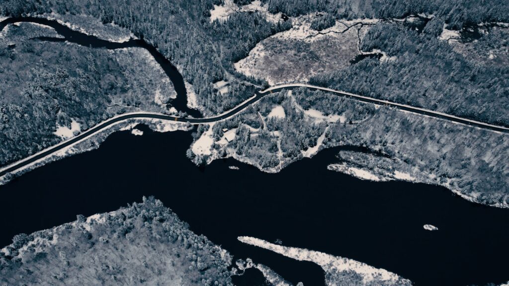
The Western Interior Seaway didn’t vanish overnight, but its retreat was geologically swift and dramatically visible. Around 70 million years ago, global sea levels began to drop as the planet entered a cooler phase, and tectonic forces started pushing the seafloor upward. The process was like watching a bathtub drain in slow motion—except this bathtub was the size of half a continent. As water levels dropped, vast mudflats and shallow lagoons replaced the deep ocean, creating new habitats but also stranding marine life in increasingly isolated pools. The final retreat left behind massive deposits of marine sediments that now form some of the richest fossil beds in North America. Within just a few million years—a blink of an eye in geological terms—this mighty sea had shrunk to disconnected lakes and eventually disappeared entirely, leaving only rock layers as evidence of its former glory.
Fossil Treasures in Ancient Seabeds
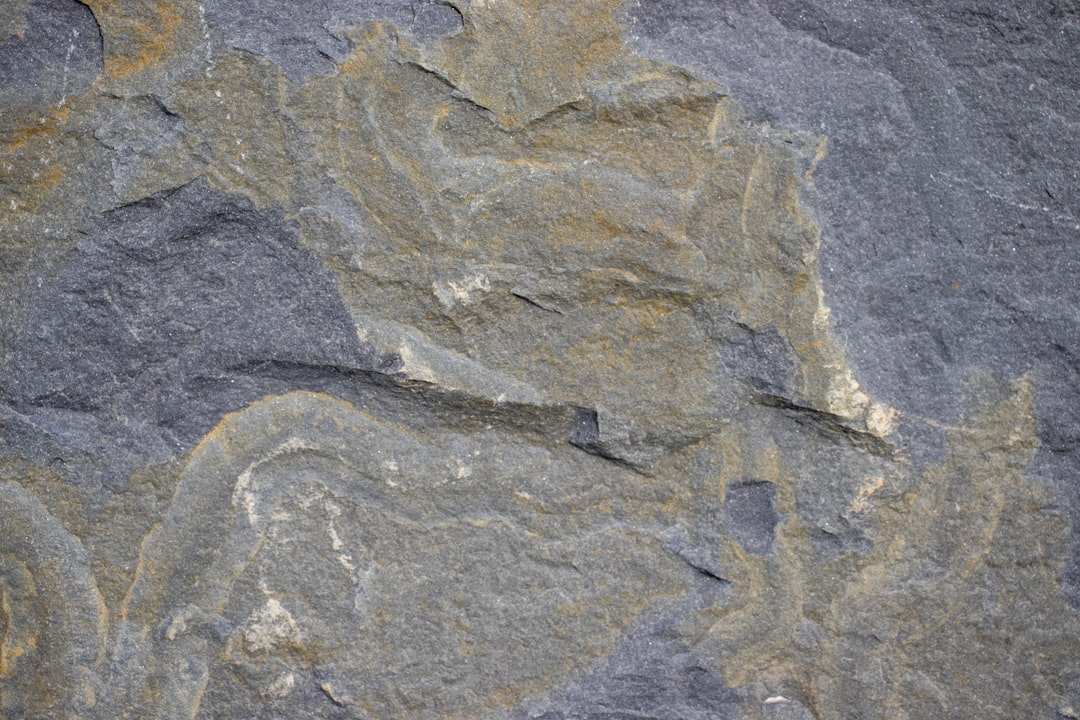
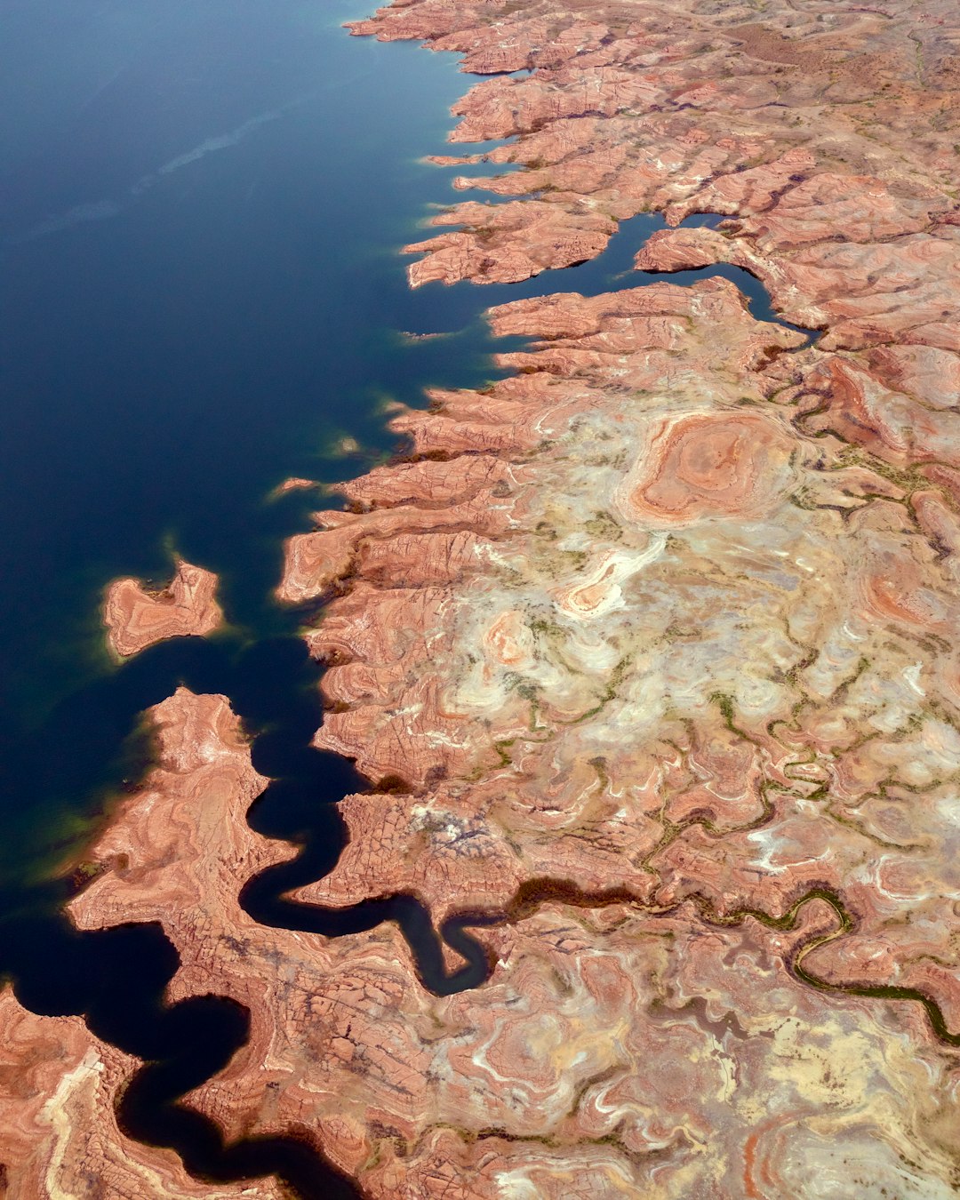
Today, some of the world’s most spectacular fossils come from the ancient floor of the Western Interior Seaway, turning landlocked states into paleontological goldmines. The Pierre Shale formation, stretching from Montana to New Mexico, has yielded countless marine reptile fossils, including complete skeletons of mosasaurs and plesiosaurs. In Kansas—now hundreds of miles from the nearest ocean—farmers regularly discover sea turtle shells and shark teeth in their fields. The Niobrara Chalk of Kansas and Colorado has produced so many well-preserved specimens that it’s become one of the most famous fossil formations in the world. These sediment layers act like pages in Earth’s history book, preserving not just bones but also shells, fish scales, and even impressions of soft tissues. Every shovel full of dirt from these ancient seabeds has the potential to reveal creatures that ruled the waves when America was split in two.
The Great Reconnection
When the Western Interior Seaway finally retreated, it set the stage for one of the most significant biological reunions in Earth’s history. For the first time in millions of years, animals could migrate freely between the eastern and western parts of North America. This reconnection wasn’t just a simple merging—it was like opening the floodgates between two separate evolutionary experiments. Species that had been isolated for eons suddenly encountered completely new competitors, predators, and prey. The mixing of eastern and western fauna created entirely new ecological dynamics and may have contributed to the evolutionary pressures that shaped the final chapter of the dinosaur age. Some scientists believe this biological reunion helped set the stage for the mass extinction that would soon follow, as ecosystems struggled to adapt to the sudden influx of new species.
Oil and Gas: The Seaway’s Modern Legacy
The Western Interior Seaway left behind more than just fossils—it created one of North America’s most valuable energy resources. The organic-rich sediments deposited on the seafloor over millions of years became the source rock for vast oil and natural gas reserves. Today’s Bakken Formation in North Dakota, the Niobrara Formation in Colorado, and numerous other petroleum-producing regions all trace their origins to this ancient sea. The microscopic marine organisms that lived and died in these waters were gradually compressed and heated over millions of years, transforming into the hydrocarbons that power modern civilization. It’s mind-boggling to think that the gasoline in your car might have originated from tiny sea creatures swimming in Kansas 90 million years ago. The economic impact of these ancient deposits runs into the trillions of dollars, making the Western Interior Seaway one of the most financially significant geological features in North American history.
Underwater Mountains and Island Chains

The Western Interior Seaway wasn’t just a flat, featureless ocean—it contained underwater mountain ranges, island chains, and deep basins that created diverse marine habitats. Volcanic activity along the western margin created underwater peaks and ridges that served as oases for marine life. These submerged mountains, some rising thousands of feet from the seafloor, created upwelling currents that brought nutrients to the surface and supported rich ecosystems. Island chains dotted the seaway, providing nesting sites for marine reptiles and stopping points for flying creatures crossing the water. The seafloor itself varied dramatically, from shallow carbonate platforms in the south to deep, oxygen-poor basins in the north. This topographic diversity meant that different parts of the seaway supported completely different communities of marine life, essentially creating multiple ecosystems within a single body of water.
The Seaway’s Role in Mass Extinction
The timing of the Western Interior Seaway’s retreat coincides suspiciously with one of the most significant extinction events in Earth’s history. As the sea drained away, it eliminated vast marine habitats and fundamentally altered continental climate patterns just as other global stresses were mounting. The loss of the seaway’s moderating climate influence may have made North America more vulnerable to the environmental chaos that followed the asteroid impact 66 million years ago. Some researchers propose that the seaway’s disappearance created a cascade of ecological disruptions that weakened dinosaur populations before the final blow arrived from space. The marine reptiles that had ruled the seaway for millions of years suddenly found themselves without a home, while terrestrial ecosystems had to rapidly adapt to dramatically different climate conditions. This double whammy of habitat loss and climate change may have been the perfect setup for catastrophe.
Ancient Coral Reefs in Landlocked States

One of the most surprising legacies of the Western Interior Seaway is the presence of ancient coral reefs in states like Kansas and Colorado, hundreds of miles from any modern ocean. These fossilized reefs, now exposed in quarries and road cuts, reveal that parts of the seaway supported tropical marine ecosystems rivaling today’s Great Barrier Reef. The reefs were built by rudists—strange, cone-shaped mollusks that played the same ecological role as modern corals but looked completely different. These underwater cities teemed with life, supporting everything from tiny bryozoans to massive marine reptiles. Today, you can literally drive through these ancient reefs on highways cut through limestone formations, passing millions of years of marine life compressed into rock. The irony is incredible: some of the best-preserved ancient reef systems on Earth are now found in the middle of wheat fields and cattle ranches.
Tracking Ancient Shorelines Across the Continent
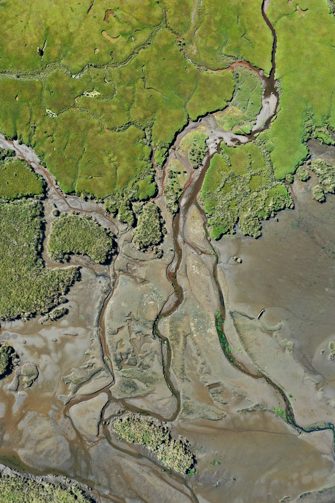
Geologists can still trace the ancient shorelines of the Western Interior Seaway across thousands of miles, revealing how the sea’s boundaries shifted over millions of years. These paleoshorelines are marked by distinctive rock formations, fossil assemblages, and sediment patterns that tell the story of advancing and retreating waters. In some places, you can walk across former beaches that are now solid rock, complete with fossilized ripple marks and ancient tidal pools. The shoreline deposits contain a unique mix of marine and terrestrial fossils, capturing the exact moments when land met sea millions of years ago. These boundary zones are paleontological treasure troves because they preserve organisms from both environments in the same rock layers. Scientists use these ancient shoreline markers to reconstruct detailed maps of how the seaway changed over time, creating a time-lapse movie of continental flooding that played out over millions of years.
The Seaway’s Global Climate Connection
The Western Interior Seaway didn’t exist in isolation—it was part of a global network of shallow seas that covered much of the world during the Cretaceous Period. These interconnected seaways acted like a planetary circulation system, moving warm water from the tropics toward the poles and influencing global climate patterns. The North American seaway was connected to similar inland seas in Europe, Asia, and Africa, creating a world where marine highways crisscrossed the continents. This global system of shallow seas helped create the greenhouse conditions that characterized the Cretaceous, with no polar ice caps and palm trees growing in Alaska. The disappearance of these seaways marked the beginning of the transition toward our modern, more divided world of separate ocean basins and distinct continental landmasses. Understanding the Western Interior Seaway helps scientists piece together how Earth’s climate system worked during one of the warmest periods in planetary history.
Modern Echoes in Today’s Landscape
Even though the Western Interior Seaway vanished millions of years ago, its influence still shapes the modern landscape of North America in subtle but profound ways. The flat topography of the Great Plains exists partly because of the vast sediment deposits left behind by the retreating sea. These marine sediments created some of the world’s most fertile agricultural soils, making the former seabed into America’s breadbasket. The geographic center of North America—far from any modern ocean—sits directly on top of the deepest part of the ancient seaway, a reminder that continents are never permanently dry. Even modern weather patterns show echoes of the seaway’s influence, as storm systems still follow some of the same paths that once carried moisture from the ancient sea inland. The next time you drive across Kansas or Nebraska, remember that you’re traveling across the bottom of an ocean that once teemed with sea monsters and shaped the evolution of an entire continent.
The Western Interior Seaway represents one of the most dramatic geological transformations in North America’s history, fundamentally altering the continent’s geography, climate, and biological evolution. This ancient sea created evolutionary laboratories, influenced global climate patterns, left behind invaluable fossil deposits, and established energy resources that power modern civilization. The seaway’s rise and fall demonstrates how dynamic our planet truly is, with entire oceans appearing and disappearing over geological time. Its legacy lives on in the rocks beneath our feet, the oil in our cars, and the very shape of the continent we call home. What other hidden oceans might be lurking in Earth’s future, waiting to reshape our world once again?