
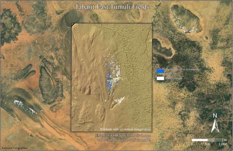
There’s something almost eerie about realizing a city can vanish from human memory but still leave a faint fingerprint visible from hundreds of kilometers above Earth. For most of the twentieth century, archaeologists trudged through deserts and jungles following scraps of text, local legends, and a lot of guesswork. Then satellites started quietly rewriting the map, exposing features that had been hiding in plain sight while ground teams walked right past them. In the past few decades, remote sensing has gone from a side curiosity to one of archaeology’s sharpest tools. Subtle color changes in crops, strange geometric shadows in the sand, even microscopic variations in soil moisture have led to buried temples, invisible roads, and entire urban layouts that generations of field archaeologists never quite managed to pin down. It’s a humbling reminder: sometimes, to understand what’s under our feet, you have to leave the planet entirely.
1. The lost frankincense hub of Ubar under the sands of Oman
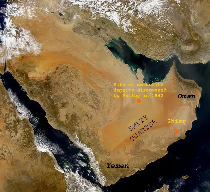
For much of the twentieth century, the fabled city of Ubar sounded more like a desert fairy tale than a real place. Explorers and archaeologists crisscrossed southern Oman, following stories of a vanished caravan hub swallowed by dunes, but the landscape was mercilessly featureless. You could stand in the middle of the Rub’ al‑Khali, the Empty Quarter, and have no clue that anything had ever existed there besides wind and sand. That changed when scientists began studying radar images from the Space Shuttle and other satellites, which can penetrate dry sand and pick up subtle differences in surface texture. They noticed faint, linear scars in the desert – ancient caravan routes – that converged on a single point at the edge of the Empty Quarter. When teams went to that exact location on the ground, they uncovered remains of towers and deep wells interpreted as the long-sought trading center linked to the frankincense routes. Decades of wandering in circles had finally given way to a few decisive passes of a spacecraft overhead.
2. Buried Egyptian cities mapped from orbit after a century of digging
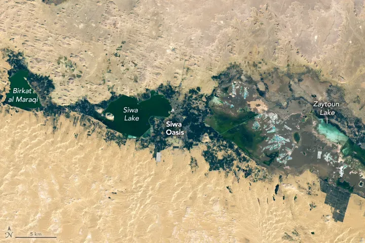
Egyptologists have been picking away at the Nile Valley for more than a hundred years, but satellite sensors abruptly expanded their field of view. Instead of seeing one temple or village at a time, archaeologists began to glimpse the hidden outlines of entire cities beneath the modern fields and desert margins. Some of these sites had been suspected for generations, yet nobody could quite find their full extent on the ground. Infrared and multispectral imagery from satellites captured tiny differences in how crops and soil reflected light where buried mudbrick and stone lay just below the surface. When these images were enhanced and layered in geographic information systems, they revealed street grids, enclosure walls, and building platforms at places like Dahshur North and other sites along the Nile floodplain. Field teams that had been working with fragmentary clues for decades could suddenly walk straight to the most promising spots, trowels in hand, guided by ghostly, city‑shaped stains only visible from space.
3. Maya causeways and hidden settlements in the Central American jungle
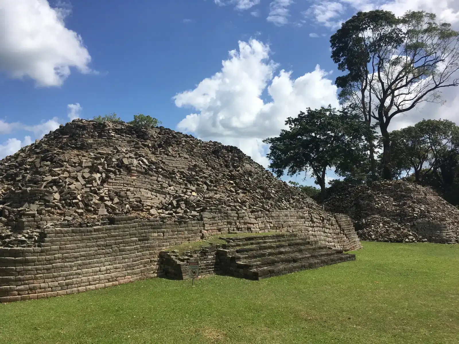
For a long time, archaeologists studying the ancient Maya felt like they were working through a keyhole; the jungle simply refused to cooperate. Entire regions of Guatemala, Mexico, and Honduras were so thickly forested that survey teams could only map tiny islands of ruins. The suspicion was always there that huge portions of the story were still missing between the dots on their hand‑drawn maps. Satellite imagery, particularly when combined with other remote sensing data, helped blow that problem open. Analysts looking at rainforest canopies from orbit started spotting long, straight bands where vegetation grew just a bit differently – signatures of raised causeways, terraced fields, and settlement edges under the trees. When archaeologists followed up on foot, they confirmed roads stretching for many tens of kilometers and clusters of structures that had never been recorded before. Years of machete hacking turned into targeted hikes to coordinates pulled straight from orbital images, revealing how interconnected and expansive the Maya world really was.
4. Ancient roads at Chaco Canyon, finally seen in full
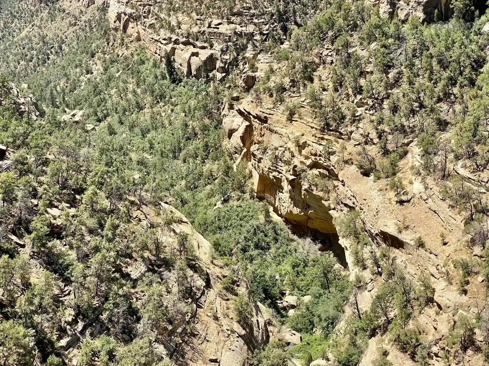
Chaco Canyon in the American Southwest has been intensely studied since the late nineteenth century. Archaeologists knew of some mysterious linear features leaving the great houses, but from ground level they were broken, faint, and frustratingly hard to follow. People argued for decades about whether they were truly engineered roads or just random erosion and livestock trails masquerading as something intentional. When high‑altitude and satellite imagery became available, those debates took a sharp turn. Long, nearly straight pathways emerged across the desert, some stretching over the horizon, revealing a network of ancient roads radiating from the canyon like spokes on a wheel. These alignments were far easier to trace from above than on foot, where centuries of weathering blurred them into the background. Field archaeologists who had spent careers trying to connect isolated segments could suddenly overlay satellite images and see the broader pattern, transforming the interpretation of Chaco from a local cluster of ruins into the heart of a far‑reaching landscape system.
5. Hidden Roman landscapes emerging in North Africa
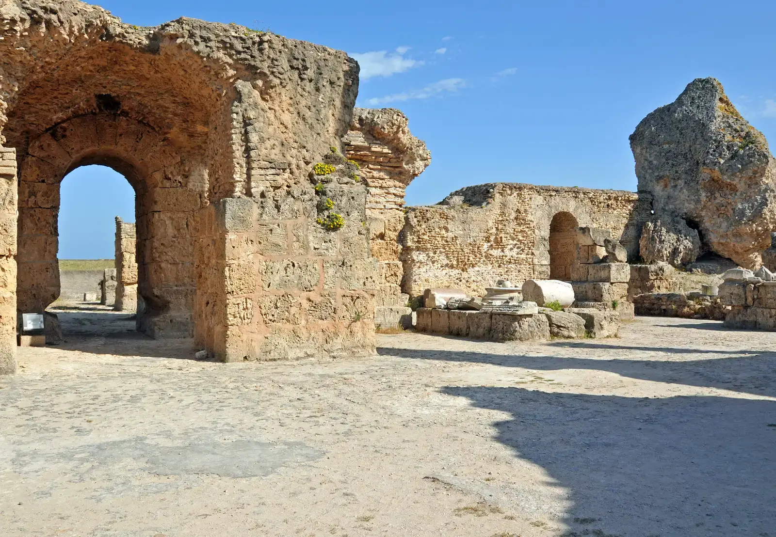
Roman North Africa has never exactly been undiscovered – ruined amphitheaters and forums dot the countryside – but the fine texture of its rural landscape remained elusive. Survey teams traversed valleys in Libya, Tunisia, and Algeria and suspected there were more farms, villas, and roads buried beneath the soil. Often, though, there was simply nothing obvious to dig, especially in plowed or lightly vegetated areas. Modern satellite platforms, with higher resolution and better spectral sensitivity than early systems, started to change that balance. Archaeologists poring over imagery noticed faint rectilinear crop marks and soil discolorations around known sites, hinting at buried walls, courtyards, and field systems extending well beyond what had been mapped. In some cases, anomalies visible from space prompted test trenches in places where no surface artifacts had been found at all, yet excavations still turned up Roman structures. This sort of work flipped the old model: instead of waiting for a lucky pottery scatter to justify digging, satellite data could whisper that something regular and human‑made was hiding in what looked like an empty field.
6. Submerged harbors and drowned cities traced by satellite positioning
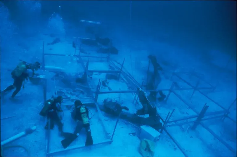
Underwater archaeology sounds like the opposite of satellite work, but the two are surprisingly intertwined. For decades, divers searched coastlines in the Mediterranean and elsewhere, guided by fragmentary ancient texts that hinted at lost ports now under the sea. Locating them precisely was maddening – currents, shifting sediment, and poor visibility all conspired to keep the ruins just out of reach. Satellite‑based positioning systems and modern bathymetric mapping shifted the odds. Archaeologists began combining precise GPS coordinates from survey vessels with high‑resolution seafloor scans and satellite‑derived coastal maps. This allowed them to systematically grid areas where drowned cities and harbors were suspected rather than hunting blindly. When anomalies showed up – straight lines, right angles, or harbor‑shaped basins – they could target dives and confirm masonry quays, foundations, and ship sheds that earlier expeditions had sailed right over. The satellites weren’t seeing through the water in a Hollywood sense, but they were giving teams a framework that finally turned vague legends into specific, excavatable points on a map.
7. Desert caravan routes and way stations in Arabia’s Empty Quarter
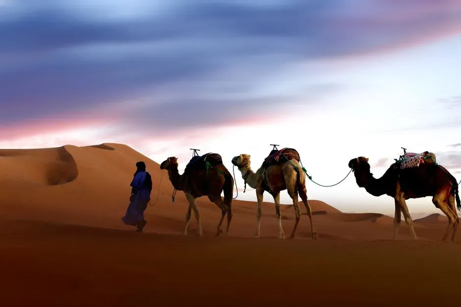
The Arabian Peninsula’s deserts hid more than one mystery. For generations, scholars debated the precise paths taken by ancient incense and spice caravans crossing the Rub’ al‑Khali and neighboring regions. On the ground, these tracks were often obliterated by wind, with only scattered campsites and wells to hint at larger patterns. Even experienced desert travelers could miss the larger picture entirely. Spaceborne radar and optical imagery tweaked to highlight subtle topographic and textural differences changed that. On processed satellite images, long‑vanished tracks appeared as paler streaks or compacted corridors cutting across the dunes and gravel plains. Where multiple routes intersected or flared into wider patches, archaeologists suspected caravan hubs or way stations. Subsequent fieldwork at some of these nodes revealed buried walls, collapsed structures, and deep water sources that had been overlooked despite earlier surveys. The satellites effectively re‑drew a whole economic map in regions where decades of walking had only produced isolated dots of evidence.
8. The full layout of ancient capitals hidden beneath modern fields
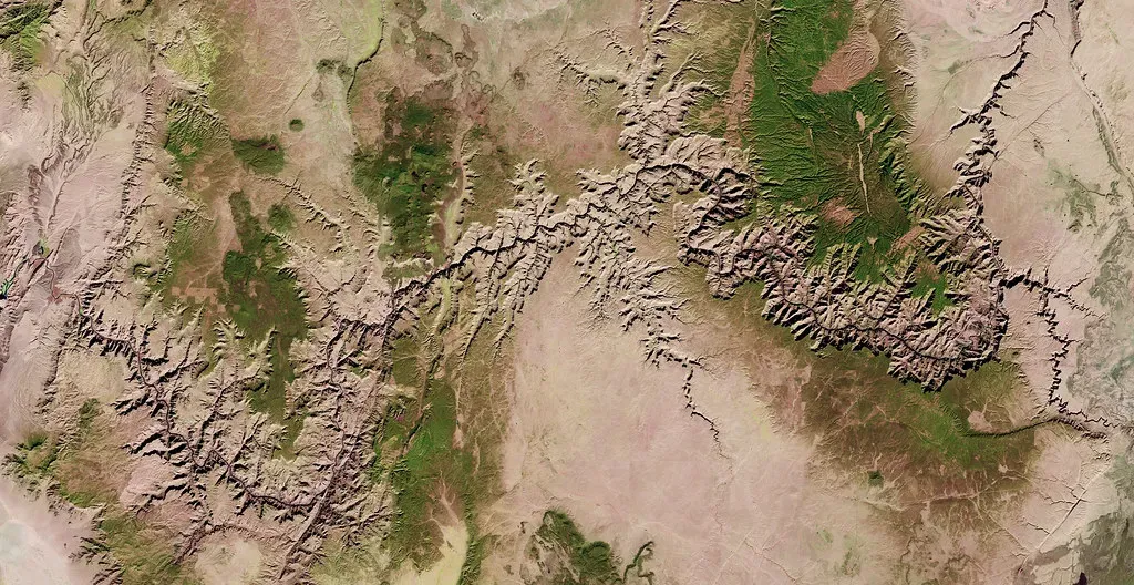
In many parts of the world, ancient capitals did not die quietly – they were built over, plowed under, or incorporated into modern towns. Archaeologists might know roughly where a city had been from texts or a surviving temple, but attempts to trace its full footprint on foot ran into property lines, roads, and endless modern disturbance. You can only dig so many small test pits before you realize you’re missing the forest for the trees. Satellite imagery, especially time‑series data that shows how crops and soils behave across seasons, gave researchers a way to see through the noise. Repeated passes over the same region revealed stubborn, city‑shaped patterns: rings of anomalous moisture, rectangular blocks where plants consistently struggled or thrived, or ghostly lines tracing abandoned streets. In places where archaeologists had spent decades arguing over where the walls of a royal precinct ran, orbiting sensors quietly traced out the invisible edges. Once those outlines were in hand, excavation could be focused on key intersections or gateways, turning long‑standing scholarly hunches into testable realities.
9. Long-lost fortifications in conflict zones too dangerous to visit
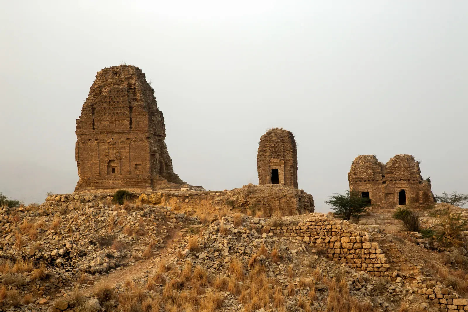
Some of the most heartbreaking situations in archaeology are sites that experts know about but simply cannot reach. In parts of the Middle East and Central Asia, warfare and political instability have kept field teams away for years, even as looting and development threaten fragile remains. For a long time, researchers were stuck: they had old survey notes and blurry aerial photos, but no safe way to update or refine the record from the ground. High‑resolution commercial satellite imagery has become a lifeline in these cases. Analysts sitting in offices thousands of kilometers away scan new images and suddenly notice angular shadows, enclosed platforms, or ditch‑and‑rampart patterns betraying buried fortifications and settlement mounds that had never been formally documented. Often, these features sit right next to known tells that archaeologists had walked for decades without realizing there was more under the neighboring fields. While full excavation still has to wait for safer times, the satellites are already extending the map of what exists under those soils, preserving at least a record of where the walls and towers once stood.
10. Machine learning flagging buried sites archaeologists never thought to check
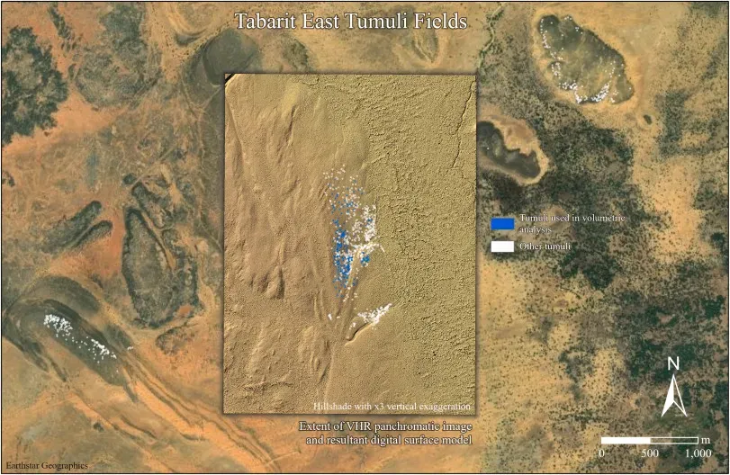
The newest twist is that it is no longer just humans staring at imagery; algorithms are getting in on the hunt. Archaeologists spent decades manually scanning photos and satellite scenes, training their eyes to recognize the telltale geometry of walls, mounds, and pits. But as archives exploded into millions of images, it became physically impossible to look at everything, especially across entire countries or regions. Recent projects have started feeding this deluge of data into machine learning models trained on known archaeological sites. These systems learn the subtle textural, color, and shape cues that correspond to buried features and then sweep over fresh imagery to flag look‑alike patterns in places nobody had logged before. In some test regions, follow‑up by human experts has confirmed new sites and looting scars in areas that had already been surveyed on foot. It is a bit humbling: after decades of walking the same valleys, a computer cross‑checking satellite pixels can still point and say, in effect, “You missed something right here.”
Conclusion: Why the view from orbit is changing how we think about the past
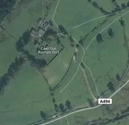
I love that satellite archaeology quietly undermines the old heroic myth of the lone explorer stumbling onto a lost city by sheer luck. The reality today is more collaborative and frankly more interesting: ground archaeologists, image analysts, radar engineers, and data scientists all piecing together scraps of evidence from wildly different scales. When a faint line in a satellite scene leads a team to tumbled stones they have been chasing for years, it feels less like magic and more like learning to see the planet with new eyes. At the same time, we should be honest about the limits. Satellites do not “see” entire civilizations overnight, and many media stories oversell how precise or instant these discoveries really are. What they do, incredibly well, is tip the odds in favor of patience and pattern recognition instead of guesswork and exhaustion. To me, that is the real buried treasure here: a future where we waste fewer holes in the ground and more carefully choose where to put the next trowel. If the Earth still holds countless secrets under its skin, how many of them are already etched, faintly, into the pixels of images we just have not learned to read yet?