Most people picture the ancient world exactly the way their high school textbook drew it: pyramids raised by whip-driven slaves, Vikings who “probably” reached America sometime around the year 1000, and a Great Wall you could supposedly see from space. None of that has held up. Radar satellites, AI pattern-recognition, ice cores, and ancient DNA have spent the last few years quietly demolishing one “settled” fact after another.
Here’s the strange part: almost none of these corrections made front-page news. They got buried in academic journals while the old myths kept getting taught in classrooms, repeated in documentaries, and passed down like they were still true. Seventeen of the biggest reversals are below, and a few of them will make you cringe at what you learned in school.
#17 – The Great Wall of China Isn’t One Wall At All
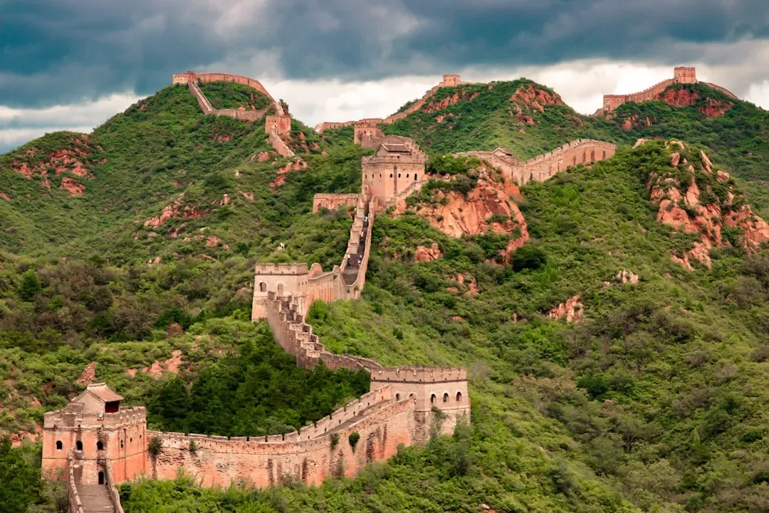
Most people imagine the Great Wall as a single continuous structure snaking across northern China for thousands of miles in one unbroken line.
That image is wrong. Archaeological surveys using satellite mapping and ground-penetrating radar have revealed that the “Great Wall” is actually a sprawling network of separate walls, trenches, and natural barriers built by different dynasties over roughly 2,000 years, often overlapping or running in entirely different directions. Some sections were built by the Qin, others by the Han, and the most famous brick-and-stone sections tourists visit today were largely constructed during the Ming dynasty – over a thousand years after the first walls went up. The “wall” is really a patchwork of at least a dozen distinct fortification systems, some of which never connected to each other at all.
Fast Facts
- Combined length of every wall, trench, and fortification ever built: 21,196.18 km (13,170.7 miles), confirmed by a 5-year Chinese government survey completed in 2012.
- The best-preserved brick section, built mostly under the Ming dynasty, measures 8,851.8 km – less than half of the full historical network.
- The survey catalogued 43,721 individual heritage sites, including walls, trenches, forts, and beacon towers, spread across 15 provinces and regions.
- Contrary to popular belief, astronauts have repeatedly confirmed the wall isn’t actually visible to the naked eye from low Earth orbit.
#16 – AI Just Found Geoglyphs Humans Missed for a Century
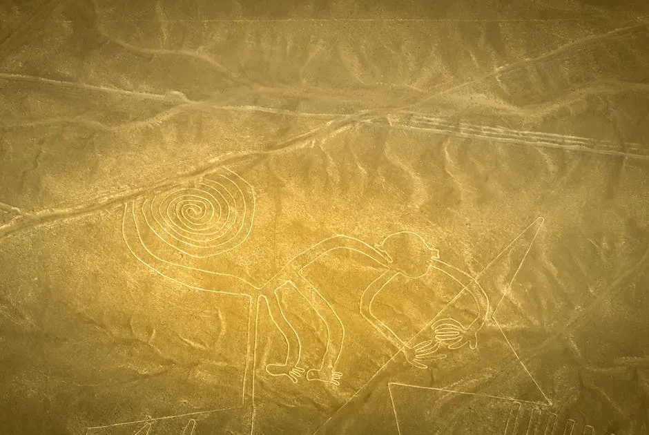
Researchers using artificial intelligence recently uncovered a batch of previously unknown Nazca Lines etched into the Peruvian desert, more than doubling the number of known figures in a fraction of the time it took human researchers over the past century.
The AI system was trained to scan satellite and drone imagery for faint surface patterns invisible to the naked eye, and it flagged candidate sites that field teams then confirmed on the ground. The newly identified figures include animals and human-like shapes that had gone completely unnoticed despite nearly 100 years of on-site archaeological surveys. A machine-learning model spotted in months what generations of archaeologists missed entirely. This isn’t a minor footnote – it suggests the desert floor still holds far more ancient artwork than anyone assumed, and it’s changing how archaeologists search for lost sites everywhere.
#15 – The Antikythera Mechanism Was More Advanced Than We Thought
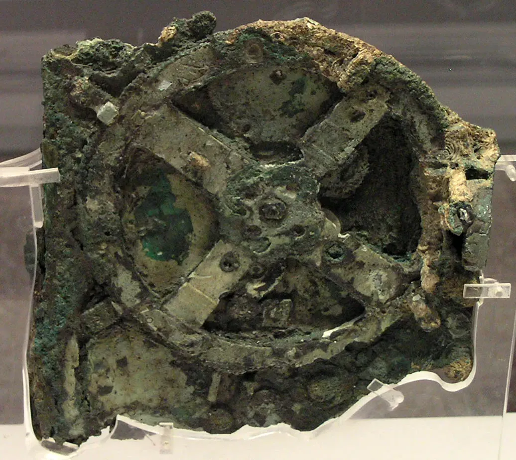
For decades, the Antikythera Mechanism was treated as a curious ancient Greek “calculator,” a bronze gadget of gears found in a shipwreck that vaguely tracked celestial cycles.
Modern imaging techniques, including X-ray tomography, have let researchers reconstruct the device’s internal gear trains with far more precision than earlier studies allowed, revealing a mechanism capable of modeling planetary positions and predicting eclipses with startling sophistication. Experts now argue the device represents an engineering tradition that appears to have been lost for over a thousand years afterward, since nothing comparable resurfaces until medieval astronomical clocks. A 2,000-year-old shipwreck relic outperformed anything Europe built for the next millennium. Many historians now believe the mechanism was one of several similar devices, not a one-off oddity, which raises uncomfortable questions about what else got lost.
#14 – Ancient DNA Rewrote Who the Minoans Actually Were
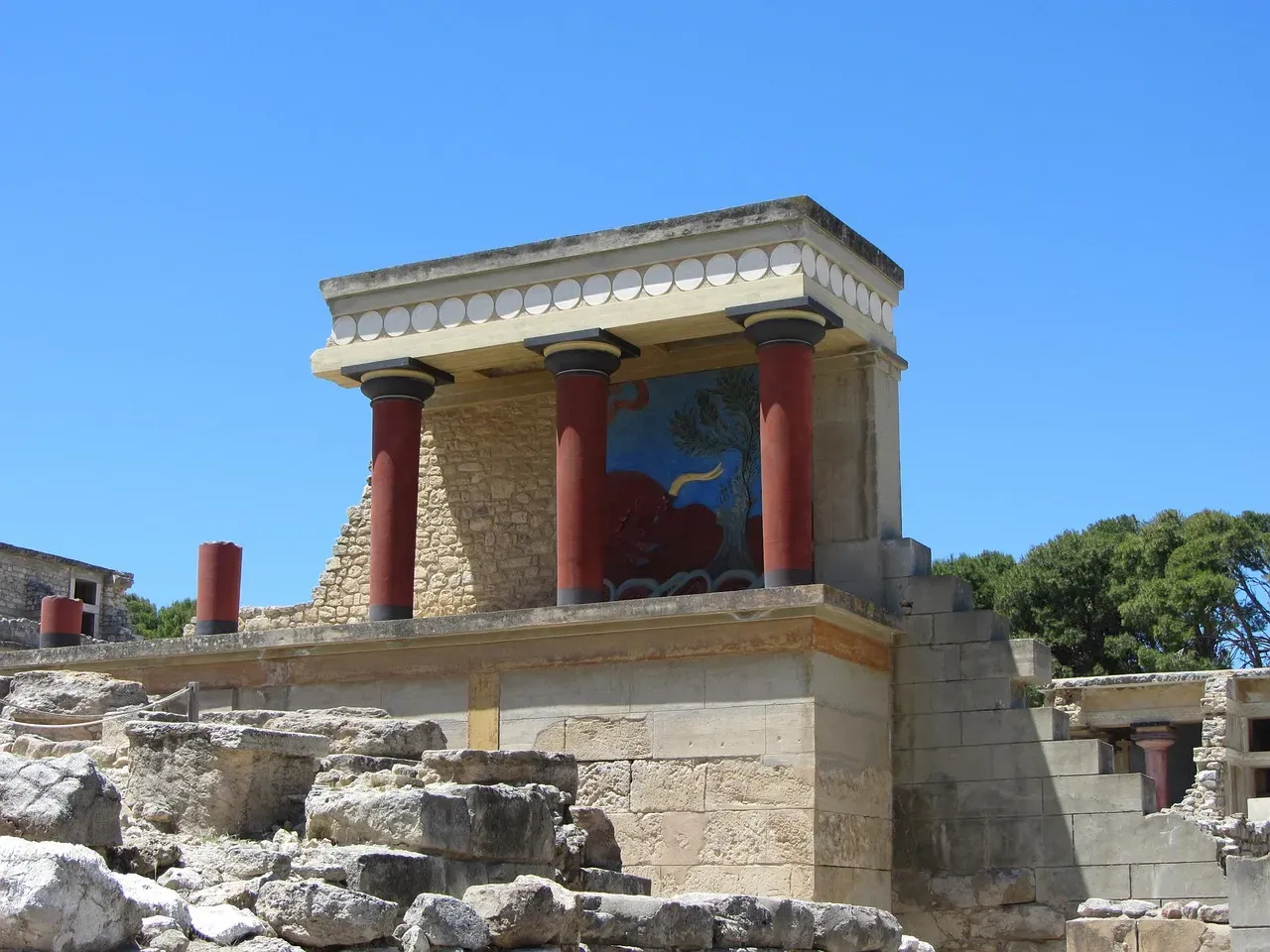
For over a century, scholars debated where the Minoans – the Bronze Age civilization behind the famous palace at Knossos – actually came from, with theories ranging from Egypt to Anatolia to a lost homeland entirely.
Large-scale ancient DNA studies on skeletal remains from Crete and mainland Greece settled much of the debate: the Minoans and the later Mycenaeans both descended primarily from early Neolithic farmers who migrated from Anatolia, with only minor genetic input from other regions. This directly contradicted older theories that leaned heavily on comparisons to Egyptian civilization. Genetics, not pottery or myth, finally answered a question archaeologists had argued over since the 1900s. The findings also showed the Mycenaeans carried a small amount of ancestry linked to populations further east, hinting at more contact across the ancient Aegean than previously assumed.
#13 – Easter Island’s “Ecological Collapse” Story Was Wrong
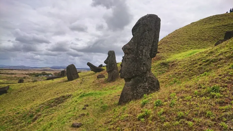
The textbook version of Rapa Nui’s history goes like this: the islanders cut down every tree to build giant stone moai, triggered an ecological collapse, and the population crashed just before Europeans arrived.
Genomic analysis of remains from the island tells a different story. Researchers found no genetic signature of a dramatic population crash before European contact, meaning the population stayed relatively stable rather than collapsing catastrophically as the popular “ecocide” narrative claims. Deforestation did happen, but growing evidence suggests it resulted from a slower, more deliberate land-use shift rather than a runaway crisis that doomed the society. The population apparently never crashed the way the famous “collapse” story insists it did. This is a genuinely controversial correction – many popular science books built entire cautionary tales around the old version, and some historians still resist letting it go.
#12 – Ice Cores Are Now Tracking Rome’s Economy Year by Year

Buried deep in Greenland’s ice sheet is an unexpected historical record: microscopic traces of lead pollution from Roman silver smelting, preserved layer by layer for two millennia.
By analyzing these ice cores, researchers have reconstructed a year-by-year timeline of Roman industrial output, revealing sharp production dips during known plagues, wars, and political crises, and surges during periods of stability like the Pax Romana. This gives historians something they never had before: a physical, continuous economic dataset that doesn’t rely on written records, which for ancient Rome were spotty and often biased toward elite perspectives. A glacier on the other side of the world kept better economic records than Rome’s own historians. The pollution spikes even let researchers estimate how much silver coinage the empire was minting in specific decades.
#11 – The Pyramids Were Not Built By Slaves
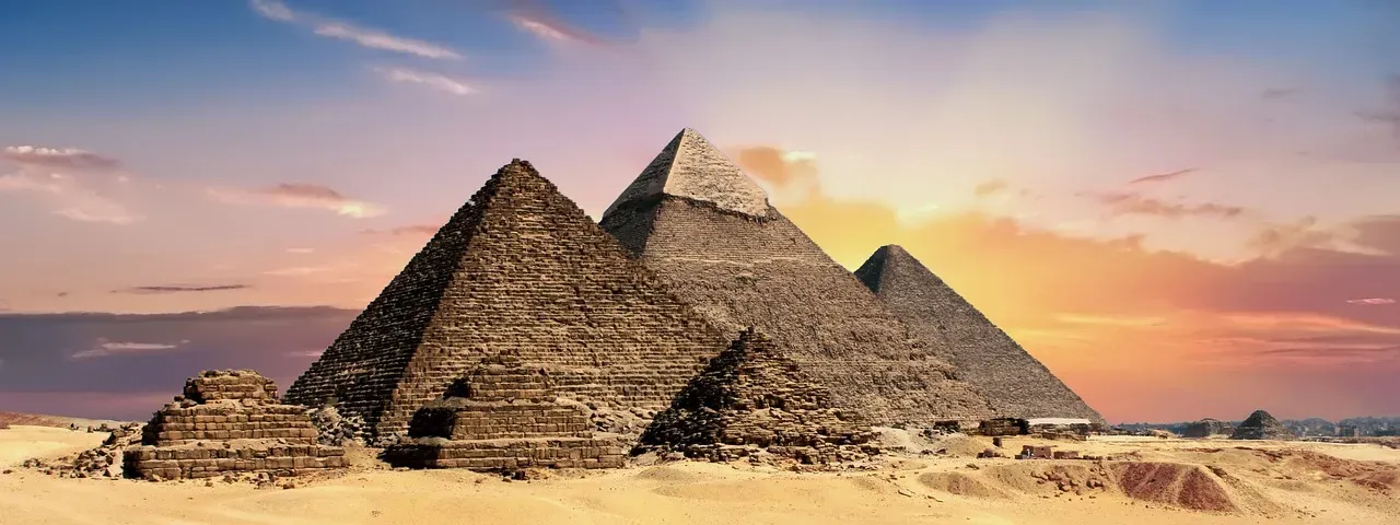
The image of whip-driven slaves dragging stone blocks under the desert sun is one of the most stubborn myths about ancient Egypt, and it’s been thoroughly dismantled by archaeological evidence.
Excavations near the Giza plateau uncovered a dedicated workers’ village complete with bakeries, breweries, and medical facilities, strongly suggesting the pyramid builders were paid laborers, seasonal farmers, and skilled craftsmen rather than enslaved captives. Burial sites for these workers near the pyramids themselves – an honor never extended to slaves – further support the idea that this was a respected, organized labor force. Workers were getting beer rations and medical care, not whips. Many researchers now believe the workforce operated more like a rotating civic labor system, possibly tied to religious obligation or taxation, rather than forced servitude.
#10 – The Great Sphinx May Have Started as a Natural Rock Formation
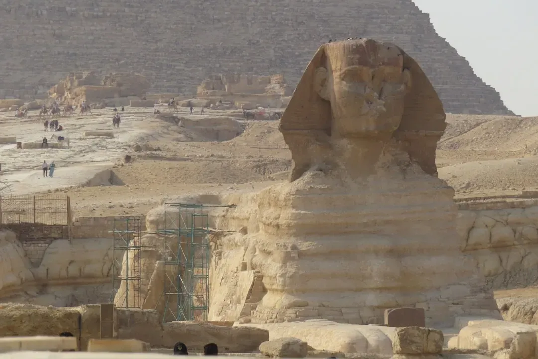
For decades, everyone assumed ancient Egyptians carved the Great Sphinx entirely from scratch out of a single limestone outcrop.
Researchers washed clay formations with a fast-flowing stream of water to replicate wind, which carved and reshaped the material until it developed features like an undercut “neck,” “paws” laid out on the ground, and an arched “back.” The harder, more erosion-resistant rock naturally became the head-like shape, suggesting wind erosion may have sculpted a lion-like formation long before any human ever touched a chisel. Researchers behind the study describe it as a simple origin theory for how Sphinx-like formations can come about from erosion alone. Wind may have done the Sphinx’s rough sketch before Egyptian sculptors ever picked up a tool. This doesn’t mean the Sphinx wasn’t extensively carved by human hands – the finishing work is unmistakable – but it complicates the “built entirely from scratch” narrative most people assume.
#9 – Pompeii’s Death Date Might Be Wrong By Two Months
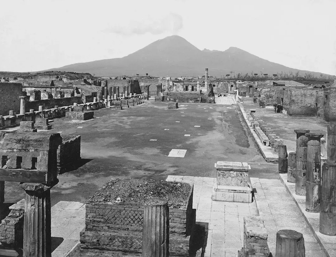
For nearly 2,000 years, every history book stated Mount Vesuvius erupted on August 24, 79 AD, based on a letter written decades after the fact by Pliny the Younger.
A newly-discovered inscription at Pompeii points to the city being destroyed after October 17, 79 AD, based on a worker’s charcoal inscription meaning “the 16th day before the calends of November.” The clue that clinched it wasn’t just the graffiti – crops like pomegranates only ripen later in the year, and plaster casts of victims show some wearing heavy clothing like long-sleeved tunics, while archaeologists found charcoal brazier heaters inside houses, all pointing to cooler autumn weather rather than summer heat. Victims were found in winter coats, not summer clothes. Not every historian is convinced, but the physical evidence for October keeps piling up.
All dates outside August 24 are pure invention.
Pompeii Archaeological Park
#8 – Roman Concrete Heals Itself, and We Only Just Figured Out Why
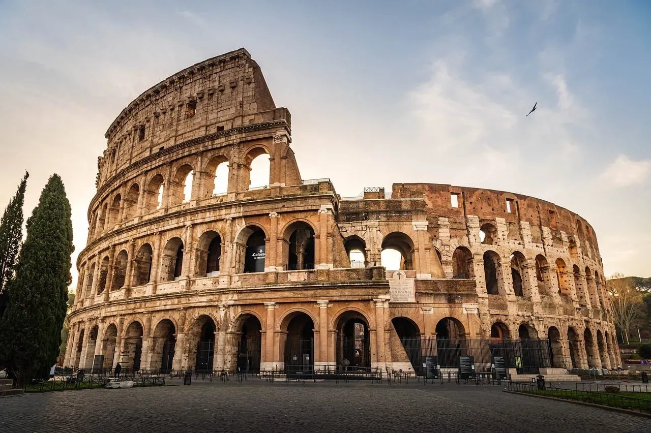
Roman concrete structures like the Pantheon have survived nearly 2,000 years of earthquakes, weather, and neglect, while modern concrete crumbles within decades.
Materials scientists finally cracked the mystery: Romans mixed in lumps of unslaked quicklime that reacted violently with water, generating intense heat during mixing and creating small mineral deposits called “lime clasts” scattered throughout the concrete. When cracks later formed, water seeping in would dissolve these embedded lime clasts and recrystallize, effectively sealing the crack from the inside – a self-healing process modern concrete simply doesn’t have. Roman builders accidentally invented self-repairing concrete two millennia before materials scientists coined the term. Engineers are now trying to replicate this “hot mixing” technique in modern construction, since it could dramatically extend the lifespan of contemporary buildings and bridges.
#7 – Stonehenge’s Centerpiece Traveled Farther Than Anyone Imagined
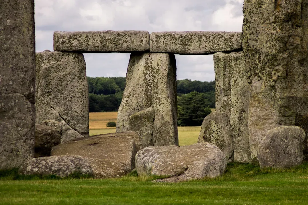
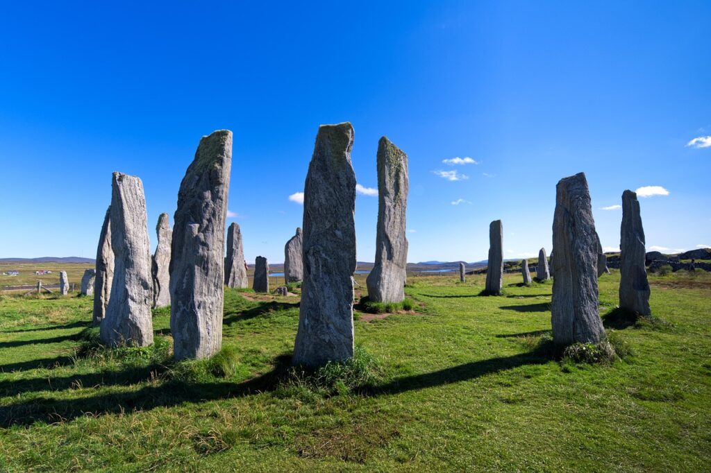
For the past hundred years, the iconic six-tonne Altar Stone at the heart of the ancient site was believed to have come from Wales.
New mineral dating tells a wildly different story. The largest “bluestone” at the heart of Stonehenge came from northern Scotland, not Wales, with findings showing a remarkable similarity between the Old Red Sandstone of the Orcadian Basin in northeast Scotland and the Stonehenge Altar Stone. Neolithic Britons hauled a six-ton slab over 460 miles with no wheels, no metal tools, and no draft animals confirmed for the job. It’s not clear whether the stone was carried by boat or over land, but either route means Stone Age Britain had far more organized long-distance transport than anyone credited it for.
Quick Compare
- Old theory: Altar Stone quarried in Wales, roughly 140-180 miles from Stonehenge.
- New finding: Altar Stone matches rock from the Orcadian Basin in northeast Scotland, over 460 miles away.
- Transport puzzle: No wheels, no draft animals, and no metal tools confirmed for the job in Neolithic Britain.
- Open question: Whether the six-tonne stone traveled by sea, by land, or some combination of both.
#6 – LIDAR Revealed the Maya Built Megacities, Not Scattered Villages
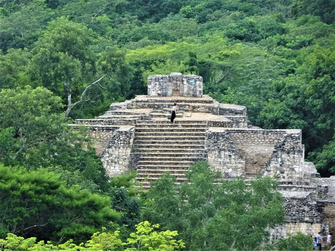
The old picture of the ancient Maya was small, isolated city-states connected by jungle footpaths, with modest populations scattered across Central America.
Airborne LIDAR scanning, which uses laser pulses to map ground contours hidden under dense rainforest canopy, has uncovered vast networks of causeways, terraced farmland, defensive earthworks, and previously unknown urban centers connecting cities that were assumed to be isolated. Some surveyed regions show population densities and infrastructure sophistication rivaling ancient Rome or China, forcing a serious upward revision of how many people the Maya civilization actually supported at its peak. Laser scans found entire cities hiding under jungle canopy that ground surveys walked past for a century. This has also revealed how extensively the Maya reshaped their environment through agriculture, undermining the old idea that the rainforest simply swallowed a modest, low-impact society.
#5 – The Pyramids Sat On a River That Vanished From the Map
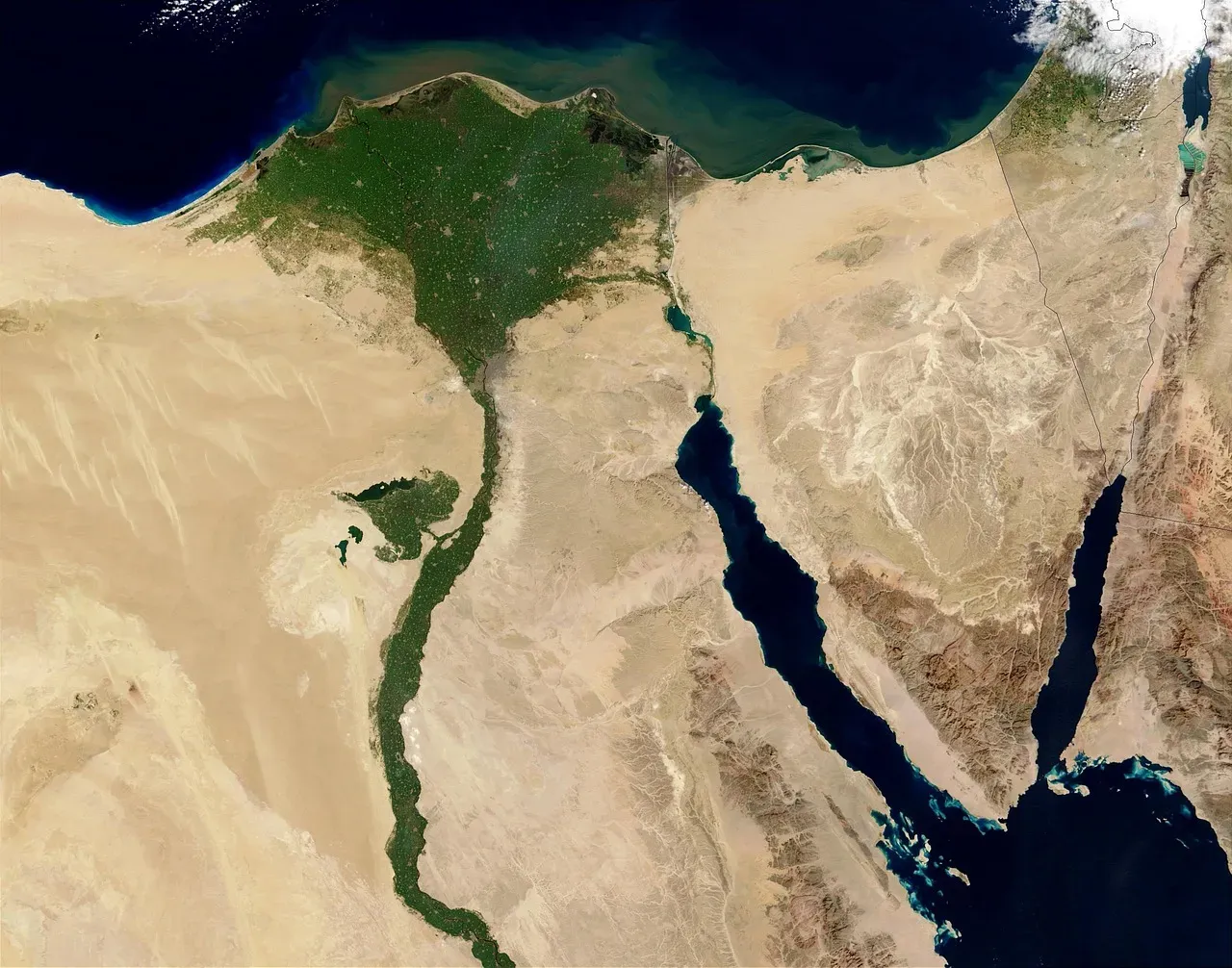
Scientists have discovered a long-buried branch of the Nile river that once flowed alongside more than 30 pyramids in Egypt, potentially solving the mystery of how ancient Egyptians transported the massive stone blocks to build the famous monuments.
Archaeologists identified segments of a 64-km-long extinct branch of the river Nile, which they named the Ahramat Branch, running at the foothills of the Western Desert Plateau, where the majority of the ancient Egyptian pyramids lie, and many of the pyramids have causeways that lead to the branch and terminate with Valley Temples that may have acted as river harbors. The ancient waterway would have been about 0.5 kilometers wide with a depth of at least 25 meters, similar to the contemporary Nile. An entire branch of the Nile, wide enough to rival the modern river, simply disappeared and nobody noticed for millennia. Researchers suggest an increased build-up of windblown sand, linked to a major drought beginning around 4,200 years ago, likely caused the branch’s migration east and eventual silting up.
#4 – Neanderthals and Humans Interbred More, and Earlier, Than We Thought
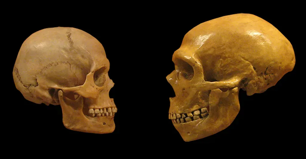
The old narrative treated Neanderthals as a separate, doomed evolutionary dead-end that briefly crossed paths with modern humans before vanishing entirely.
Genetic sequencing of ancient remains has repeatedly pushed the interbreeding timeline earlier and expanded its scope, revealing multiple distinct waves of interbreeding across different regions and time periods, not a single brief encounter. Some modern human populations carry Neanderthal DNA linked to immune function, skin pigmentation, and even sleep patterns, meaning Neanderthal genes are still actively shaping human biology today. Every non-African person alive today is walking around with measurable Neanderthal DNA doing real biological work. This also means the old “separate species that lost the survival race” framing is oversimplified – the two populations were mixing regularly enough that the genetic boundary between them was far blurrier than textbooks suggest.
#3 – Scientists Pinned Vikings in America to One Exact Year
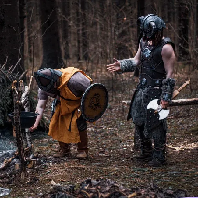
Historians long knew Vikings reached North America centuries before Columbus, but nobody could date it more precisely than “sometime in the Viking Age,” a stretch spanning nearly 300 years.
Researchers provided evidence that the Vikings were present in Newfoundland in AD 1021 by making use of the cosmic-ray-induced upsurge in atmospheric radiocarbon concentrations in AD 993, and their new date represents the first known point at which humans encircled the globe. All the artifacts showed evidence of a solar storm 29 rings from the tree bark’s edge, and finding that signal allowed researchers to conclude the cutting activity took place in the year 1021 AD. A solar storm from a thousand years ago let scientists date Viking woodcutting down to the exact calendar year. One archaeologist not involved in the research called it “a huge deal,” noting the finding shows the Viking sagas “are correct to within a decade.”
#2 – Farming Might Be Thousands of Years Older Than We Thought
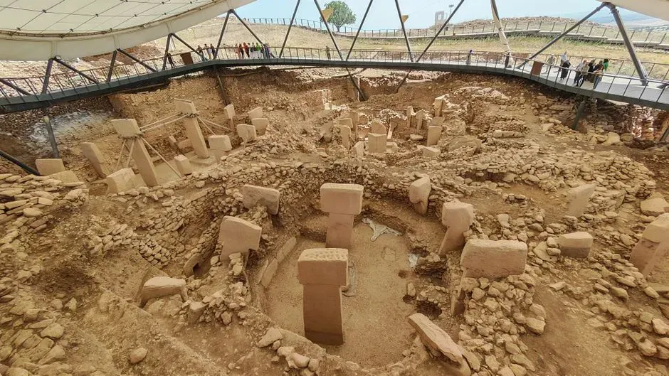
Textbooks credit the “Neolithic Revolution” in the Fertile Crescent as humanity’s first organized shift from hunting to farming, roughly 10,000-12,000 years ago.
Excavations at massive stone complexes like Göbekli Tepe in modern Turkey have upended that timeline, revealing monumental stone architecture built by hunter-gatherers before agriculture supposedly existed, meaning organized large-scale construction predates farming rather than following it. This flips the traditional cause-and-effect assumption that farming came first and enabled complex society second – at Göbekli Tepe, complex ritual construction seems to have come first, possibly even driving the transition to farming rather than resulting from it. Hunter-gatherers were organizing large-scale construction projects before they’d even invented agriculture. Researchers are still debating exactly how thousands of nomadic foragers coordinated a project of that scale, since it requires social organization nobody expected from pre-farming societies.
#1 – Humans Are Roughly 100,000 Years Older Than Textbooks Claimed
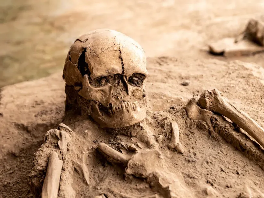
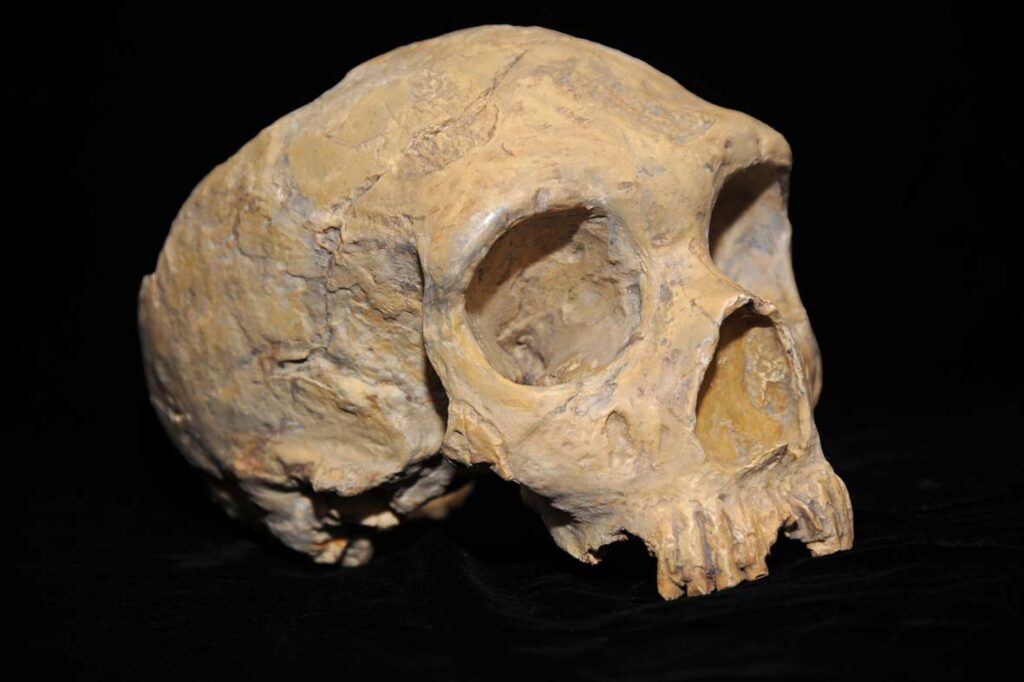
For decades, the standard timeline placed the origin of anatomically modern humans in East Africa at roughly 200,000 years ago.
Fossil finds and re-dated skull remains from North Africa pushed that timeline back dramatically, suggesting modern human traits were emerging closer to 300,000 years ago and in a broader geographic range across the continent rather than a single East African “cradle.” This directly challenges the old single-origin-point model, replacing it with a picture of early humans evolving across multiple regions of Africa simultaneously, with traits mixing and spreading over tens of thousands of years rather than radiating outward from one location. The entire species may be 100,000 years older than what most people were taught in school. This single correction ripples through nearly every other timeline in human prehistory, since it shifts the starting point for everything from tool development to migration patterns.
At a Glance
- Old timeline: anatomically modern humans emerged roughly 200,000 years ago in East Africa.
- New timeline: fossil evidence pushes key modern traits back to roughly 300,000 years ago.
- Old model: a single East African “cradle of humanity.”
- New model: multiple regions across Africa evolving and mixing traits simultaneously.
The Bottom Line
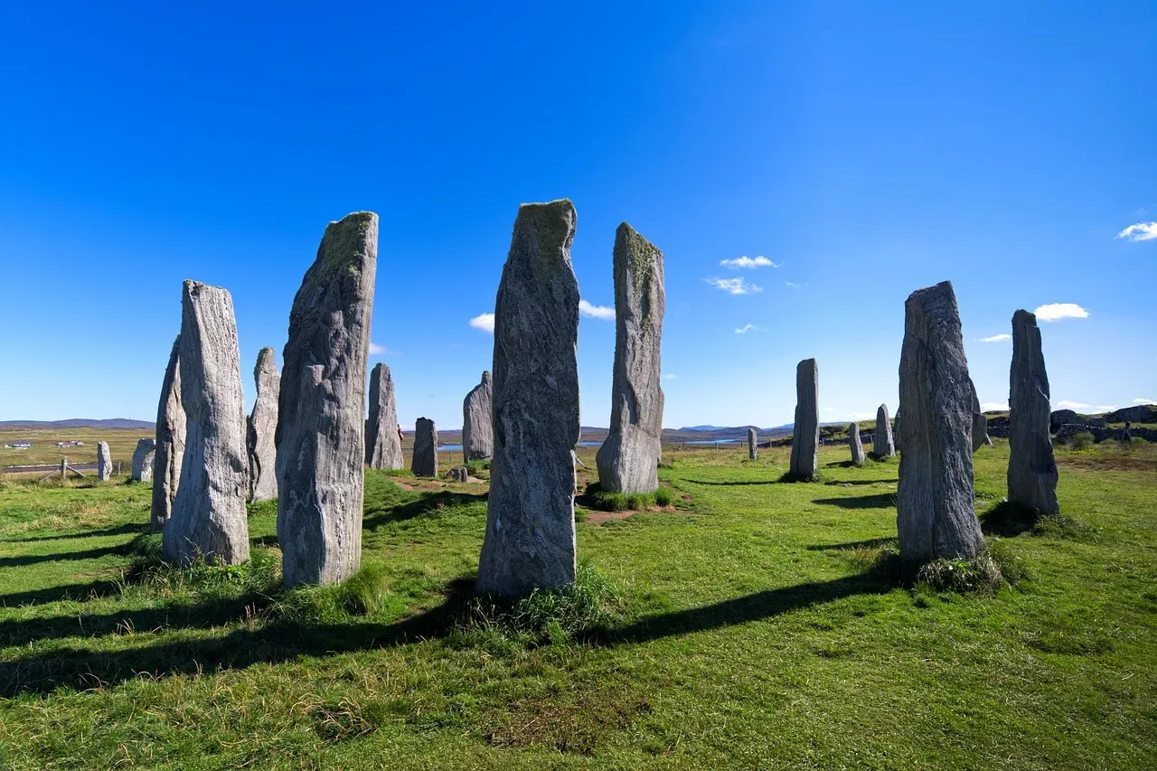
The pattern here isn’t subtle: almost every “fact” about the ancient world gets revised the moment someone points a better instrument at it – radar, AI, ice cores, ancient DNA, tree rings. Pyramids weren’t built by slaves. Vikings landed in a year we can now name exactly. Humans are older than the textbooks admitted, by a hundred thousand years.
Here’s the opinion part: the real scandal isn’t that ancient history keeps changing – science is supposed to update. The problem is how slowly that update reaches anyone outside a research lab. Kids are still memorizing “slaves built the pyramids” and “August 24th” for Vesuvius decades after both got debunked, and most adults will go their whole lives repeating a version of antiquity that specialists quietly stopped believing years ago. The ancient world isn’t the problem. Our refusal to update the textbooks is.