You live on a landscape that has been smashed, scraped, flooded, and rebuilt by forces so huge it is hard to imagine them actually happening. During the last Ice Age, vast ice sheets and sudden floods tore across North America, carving out valleys, flipping rivers, and leaving behind the lakes and plains you might casually drive past on a road trip. If you could rewind time by tens of thousands of years, you would not even recognize the place.
When you look at a map of the continent today, you are really looking at the scars of those catastrophes. Every winding Great Lakes shoreline, every strange U-shaped valley, every thick pile of fertile soil has a backstory written in ice and water. Once you start seeing it, you cannot unsee it. The quiet hills around you become crime scenes from a planetary-scale disaster movie that actually happened.
The Crushing Reign of the Laurentide Ice Sheet
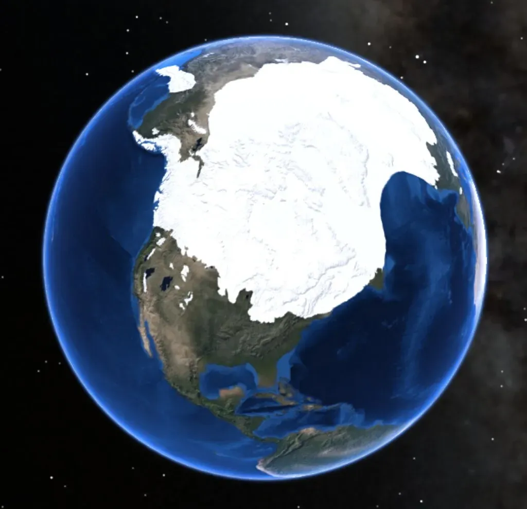
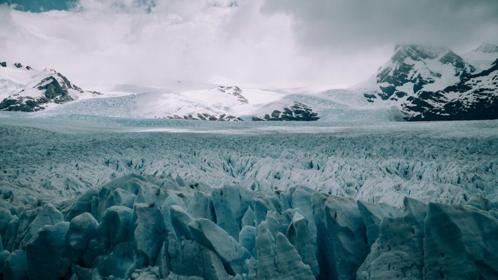
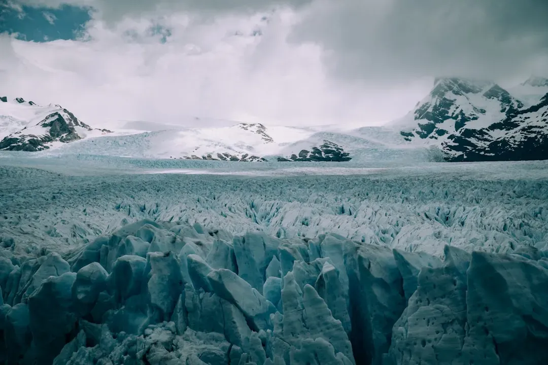
Imagine standing where you are now, then stacking a mile or more of ice on top of your head. That was the Laurentide Ice Sheet, a slab of frozen water that once smothered most of Canada and a huge chunk of the northern United States during the last Ice Age. In some places that ice was thicker than the tallest skyscrapers you know today, pressing down on the land so hard that the crust actually sank under its weight.
Under that ice, the continent was being bulldozed in slow motion. As the sheet flowed outward, it scraped away soil and rock, gouged out depressions, and smeared rubble for hundreds of miles. You can still see the results in the rounded, polished bedrock, long grooves scratched into stone, and scattered boulders that seem to have been dropped in the wrong place. Wherever you see those clues, you are basically reading the fingerprints of that giant sheet of ice.
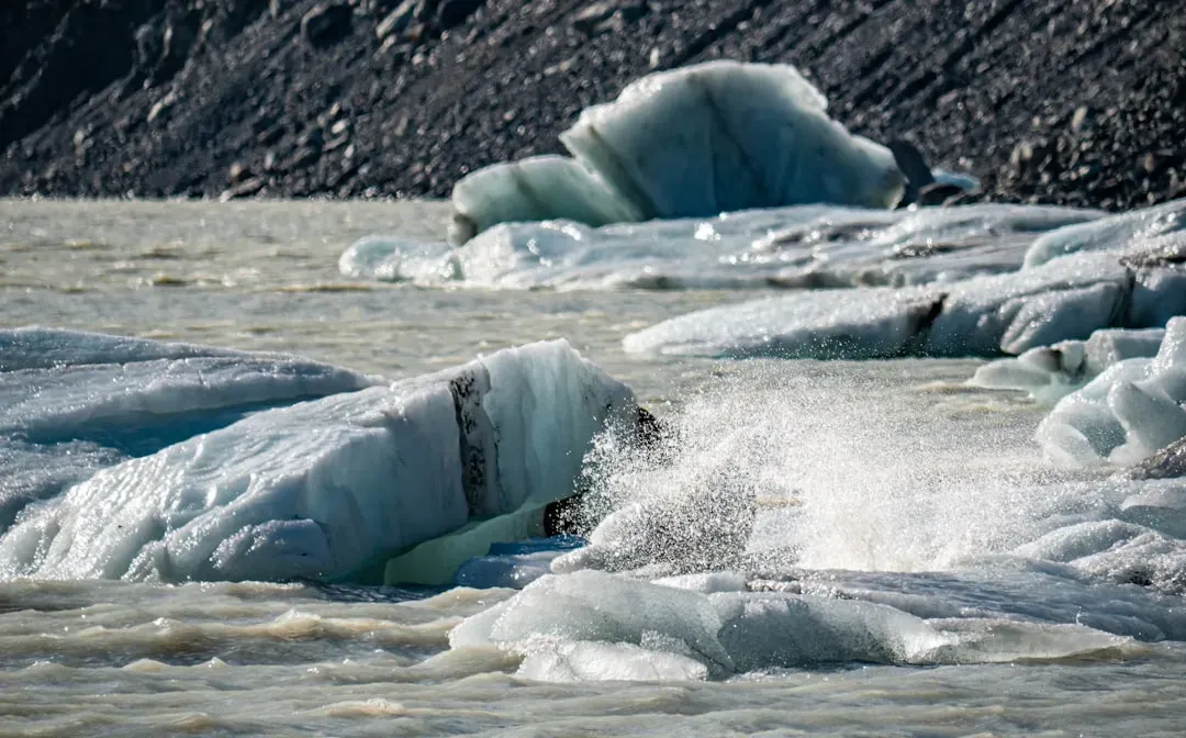
How Glacial Megafloods Carved Giant “Scablands”
Now picture a lake the size of a small sea suddenly breaking loose and roaring across the land. That is what happened in parts of the Pacific Northwest when enormous glacial lakes burst through their icy dams near the end of the Ice Age. Instead of a calm river, you had walls of water racing at highway speeds, ripping up soil and rock and blasting new channels into the bedrock.
If you ever look at aerial photos of those regions, you see a landscape that looks shredded: bare rock, huge dry channels, and scattered islands shaped like streamlined teardrops. You are looking at what is often called a “scabland,” because the earth looks scraped raw. Those megafloods moved boulders the size of houses and rearranged entire drainage systems, proving that water, when unleashed, can be just as catastrophic as ice.
Birth of the Great Lakes from Ice-Carved Basins
When you think of the Great Lakes, you might imagine shipping, fishing, or a summer beach trip, but you are basically enjoying the leftovers of a glacial excavation project. The same thick ice sheets that covered the north repeatedly advanced and retreated, deepening ancient river valleys and scouring huge basins into the bedrock. When the climate warmed and the ice finally pulled back, those basins filled with meltwater and became the lakes you see on the map today.
If you travel around those shorelines, you can still spot the clues: cliffs where ice once pressed against rock, smoothed surfaces, and enormous ridges of rubble dumped along the edges of the former glaciers. Even the way the Great Lakes are connected, like a chain spilling water from one to the next, reflects how those basins settled and tilted as the crust slowly rebounded after being freed from the crushing weight of ice. Every wave that hits the shoreline today is brushing against the ghost of the ice that carved it.
The Shocking Reversal of Ancient River Systems
One of the most mind-bending Ice Age catastrophes is that ice did not just carve valleys, it actually forced some rivers to completely change direction. When glaciers blocked old drainage paths and carved new low spots, water had no choice but to find another way out. In a few dramatic cases, rivers that once flowed one way got rerouted in the opposite direction, like pulling the plug in a different corner of the bathtub.
You can still trace these changes in certain river systems where modern flow patterns do not quite match the older, deeper valleys cut into the landscape. If you walk along some of these valleys, you might notice that the current river looks too small for the oversized gorge it sits in. That mismatch is a hint that the river you see today is not the same monster that carved the original path, but a survivor living in a channel reshaped during the chaos of melting ice and shifting drainage.
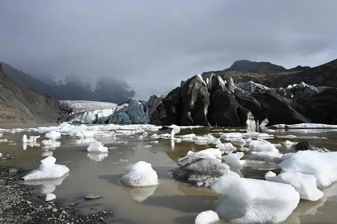
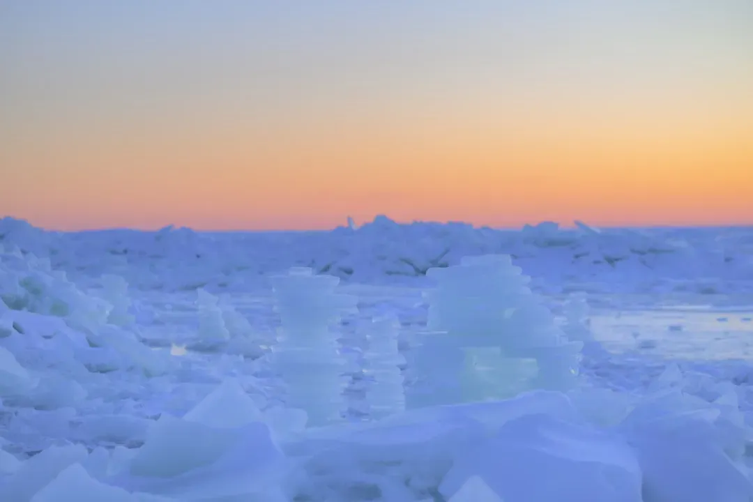
Glacial Lake Outbursts That Drowned Vast Plains
As the ice sheets melted, enormous lakes formed along their edges, trapped between the ice wall and the rising land to the south. At times, these lakes would quietly fill for centuries, holding more water than all the modern Great Lakes combined. Then something would give way: an ice dam would weaken, a rocky sill would erode, and the lake would suddenly surge out in a catastrophic flood across the lowlands.
If you live on the broad, flat plains of the interior of the continent, you might be standing on the floor of one of those vanished lakes or the path of one of their outburst floods. The gentle slopes, wide-open skies, and unexpectedly rich soils often come from sediments that settled in glacial lakes or were spread out by rushing meltwater. What looks calm and ordinary today was once the scene of roaring torrents that filled whole horizons with muddy, churning water.
Ice Age Winds Building Seas of Sand and Loess
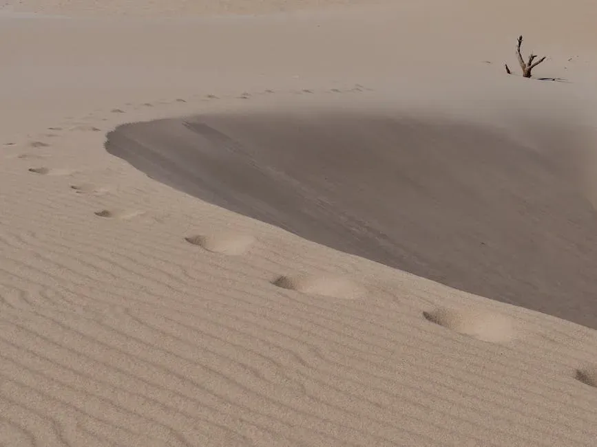
After glaciers grind rock into fine powder, that dust does not always stay put. During the colder, drier times of the Ice Age, fierce winds picked up that glacial flour from outwash plains and dried riverbeds and blew it across huge distances. You can think of it like a continent-wide dust storm stretched over thousands of years, sifting particles into thick blankets of sediment far from their original source.
In many regions, those windblown deposits now form rolling hills of soft, fertile soil known as loess, or broad fields of dunes that you might mistake for a desert. If you have ever walked on a tall inland sand dune or farmed in an area with deep, silky soil that seems to go down forever, you are directly benefiting from that Ice Age dust machine. The catastrophe here was subtle: not a single dramatic moment, but a long, relentless reshaping of the land by air carrying the remains of crushed mountains.
Isostatic Rebound: When the Land Itself Springs Back
One of the strangest consequences of those giant ice sheets is that the ground beneath them behaved almost like a slow-motion memory foam mattress. When the ice was there, the land sagged under its weight; when the ice melted, the crust began to slowly rise again. This process, often called isostatic rebound, is still going on today in many formerly glaciated areas, changing coastlines and subtly tilting the landscape.
If you live in one of these regions, your shoreline may actually be creeping upward year by year, exposing former seafloor as new land. Old beaches can now sit inland and uphill from the present waterline, forming stair-step terraces that mark former sea levels. You do not feel the ground moving beneath your feet, but over thousands of years, that quiet bounce-back has reshaped drainage patterns, shifted harbors, and rewritten maps, long after the ice itself disappeared.
Ice Age Extinctions That Transformed Ecosystems

The catastrophes of the Ice Age were not only about rocks and water; they were also about lives lost and ecosystems forever changed. As climates shifted and habitats rearranged, many of the giant animals you might associate with the Ice Age vanished from the continent. Creatures like mammoths, mastodons, giant ground sloths, huge bison, and saber-toothed predators once walked the same ground you do but did not survive the turbulent mix of warming climate and human expansion.
When those large animals disappeared, the entire structure of ecosystems changed. Plant communities shifted because their biggest grazers and tramplers were gone, predators had to adapt or vanish, and fire patterns in some regions may have been altered without vast herds disturbing the vegetation. The landscapes you see now – grasslands, forests, shrublands – are not just the result of climate and soil, but also of which animals made it through the Ice Age bottleneck and which did not. In a very real sense, your modern continent is missing an entire cast of characters.
Conclusion: Reading the Ice Age in the Landscape Around You
When you zoom out in your mind and look at the continent through Ice Age eyes, your familiar world suddenly looks wild and unstable. Miles of ice once towered over cities, rivers ran in the opposite direction, storms raised seas of dust, and floods turned quiet valleys into raging channels. What feels ancient and fixed under your feet is actually the aftermath of one of the most dramatic environmental roller coasters the planet has ever seen.
The next time you drive past a strangely flat plain, a lonely boulder in a field, or a cliff-lined lake, you can treat it like a clue left behind by those catastrophes. You are not just living on a continent; you are living in the ruins of an Ice Age machine that carved, crushed, flooded, and rewired the land you call home. When you look out your window now, what hidden Ice Age story do you think you are standing on top of?